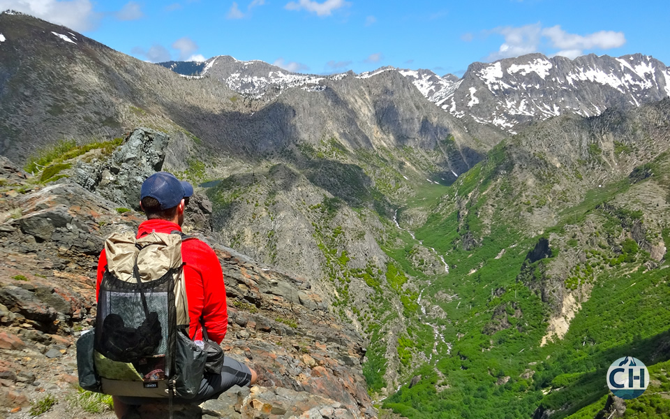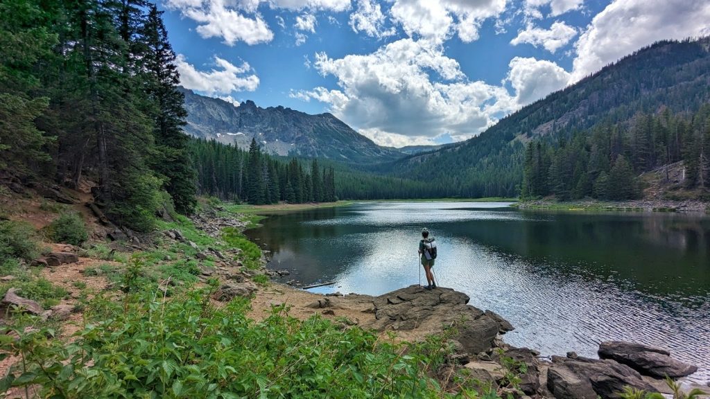
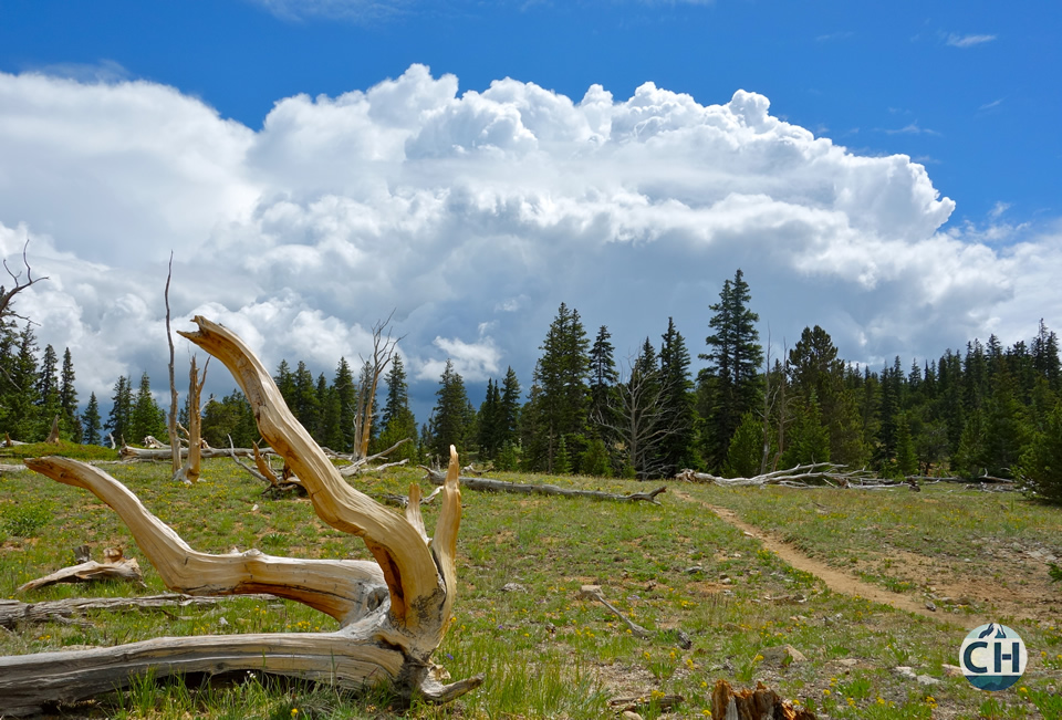
Checking the weather forecast before heading into the backcountry is a no-brainer. It’s critical to know what Mother Nature has in store for you so you can bring the right gear. Oftentimes, wilderness areas don’t have zip codes and nearby cities are at different elevations with varying weather patterns. Using small towns can help you out in a pinch, but there are better ways to get an accurate forecast.
1. The National Weather Service is Your Friend
The national weather service website has an excellent search function. You can use search terms that won’t work for other weather sites – like typing the name of a remote mountain, campground, lake, or park. That’s huge.
You can also search by picking a point on the map or inputting longitude and latitude coordinates. That type of precision will come in handy when you’re planning a multi-day trip through a remote wilderness area.
Mountain-Forecast.com also enables you to see weather forecasts by elevation for select mountains so if you’re planning a big climb, be sure to layer appropriately.
2. Use Satellite Data
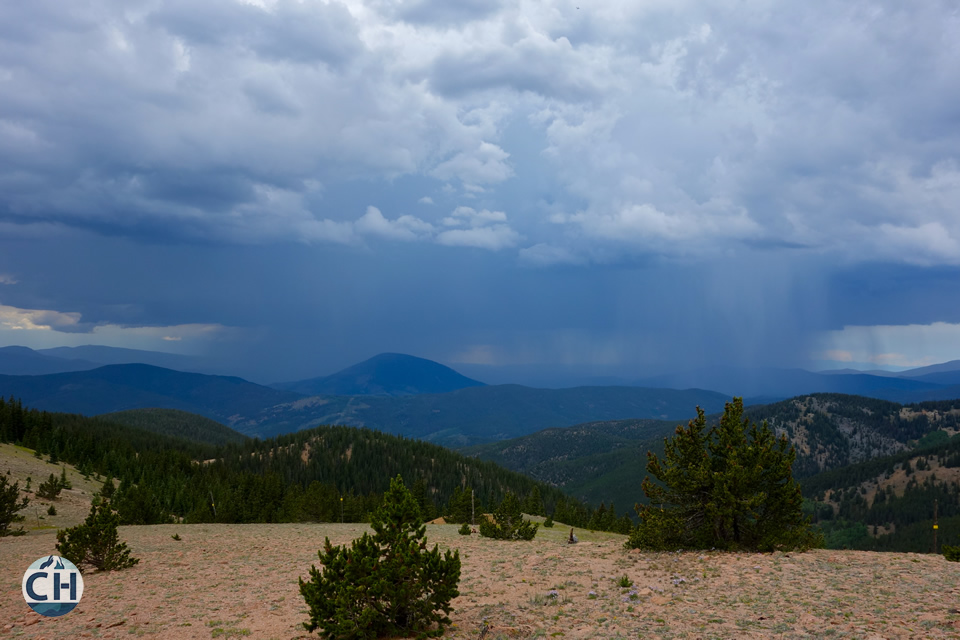
If you’re really keen to put on your meteorologist hat, you can use radar and satellite imagery to get a great look at weather systems moving through your area of travel. In the United States, weather patterns generally move west to east so check west of your destination by 300-500 miles for a good idea of what’s coming in the next 24 hours.
3. Check Current Conditions
Knowing current trail conditions will help you plan for snow levels, river fords, fire closures, and more. A great place to start is by searching for backpacking and hiking forums in the area.
There are tons of websites and social media platforms where hikers post photos and trip reports detailing the current conditions of popular backcountry areas. In Oregon for example, OregonHikers.org has comprehensive, regularly updated trip posts.
You can also call up the local ranger station to gather insights on current conditions. Sometimes these calls will be very informative and sometimes you won’t learn much, but it’s usually good to check just in case.
For snow conditions, you can use the interactive snow map at NOAA for a rough estimate of snow in the area. It’s not going to be the most detailed resource for on-trail snow, but it’s a helpful tool nonetheless.
4. Trust, But Verify – Use Your Judgement
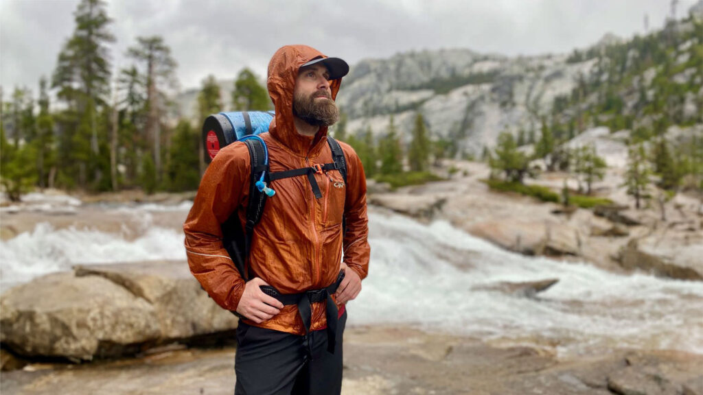
It’s important to remember that weather forecasts are just that. Forecasts. Weather systems change very quickly, especially at high elevations and around mountains. Forecasts are frequently inaccurate for mountainous and wilderness areas. If you’re out there and your eyes and ears tell you something different from what yesterday’s forecast was predicting, trust your gut. Always bring proper rain gear and be prepared for worst-case weather scenarios.