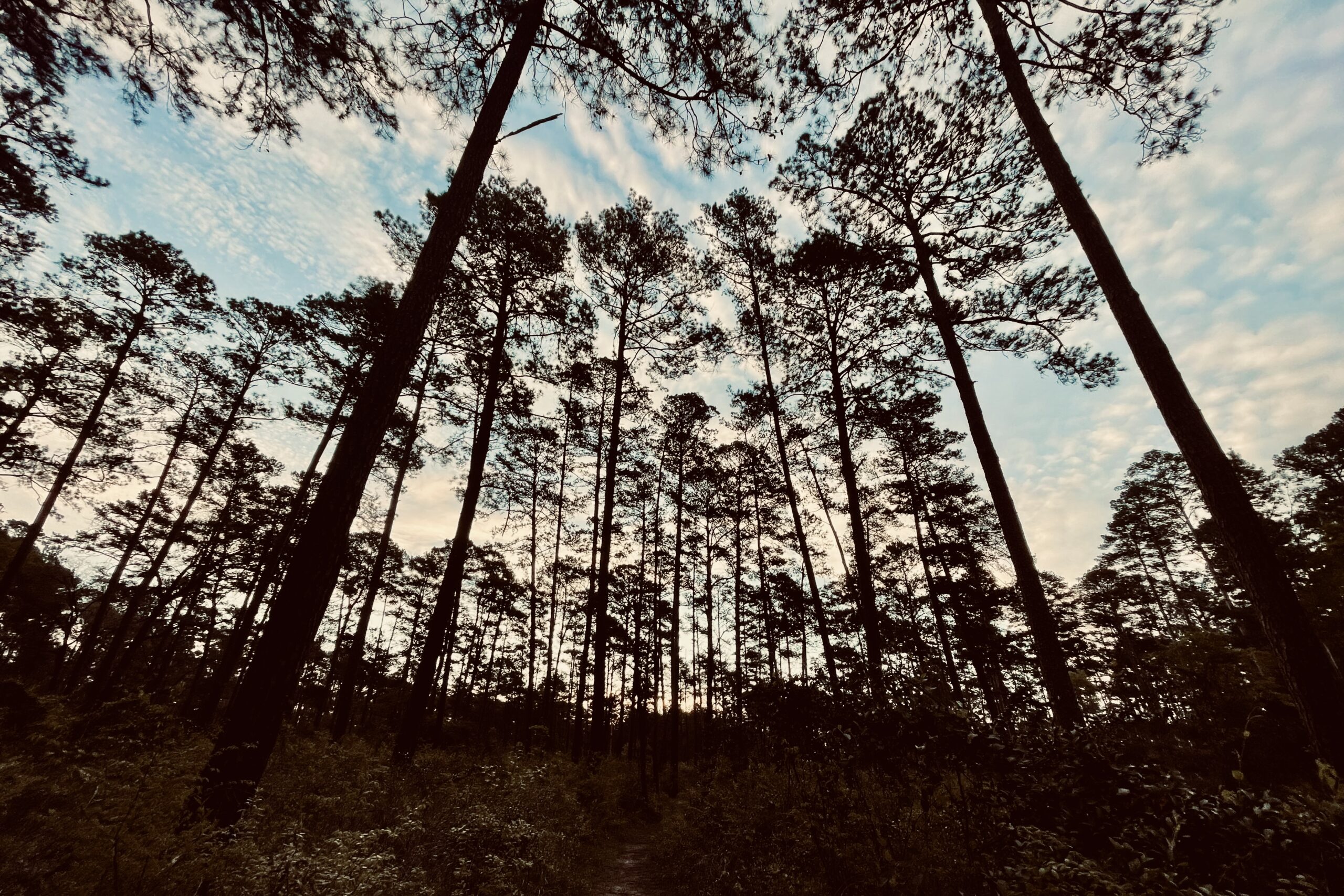

Looking to escape the snow and enjoy a backpacking trip with warm temperatures and green leaves? Then look no further than the Texas Lone Star Hiking Trail! Many thru-hikers may dismiss this trail as flat and boring, but it makes a great getaway when the winter blues are at their worst. The mellow terrain makes this a great choice for beginner hikers looking to get out for a week or for more experienced thru-hikers looking to dial in new gear before their next big adventure.
Quick Facts
- Distance: 94.8 miles
- Days Needed: 5-7 days
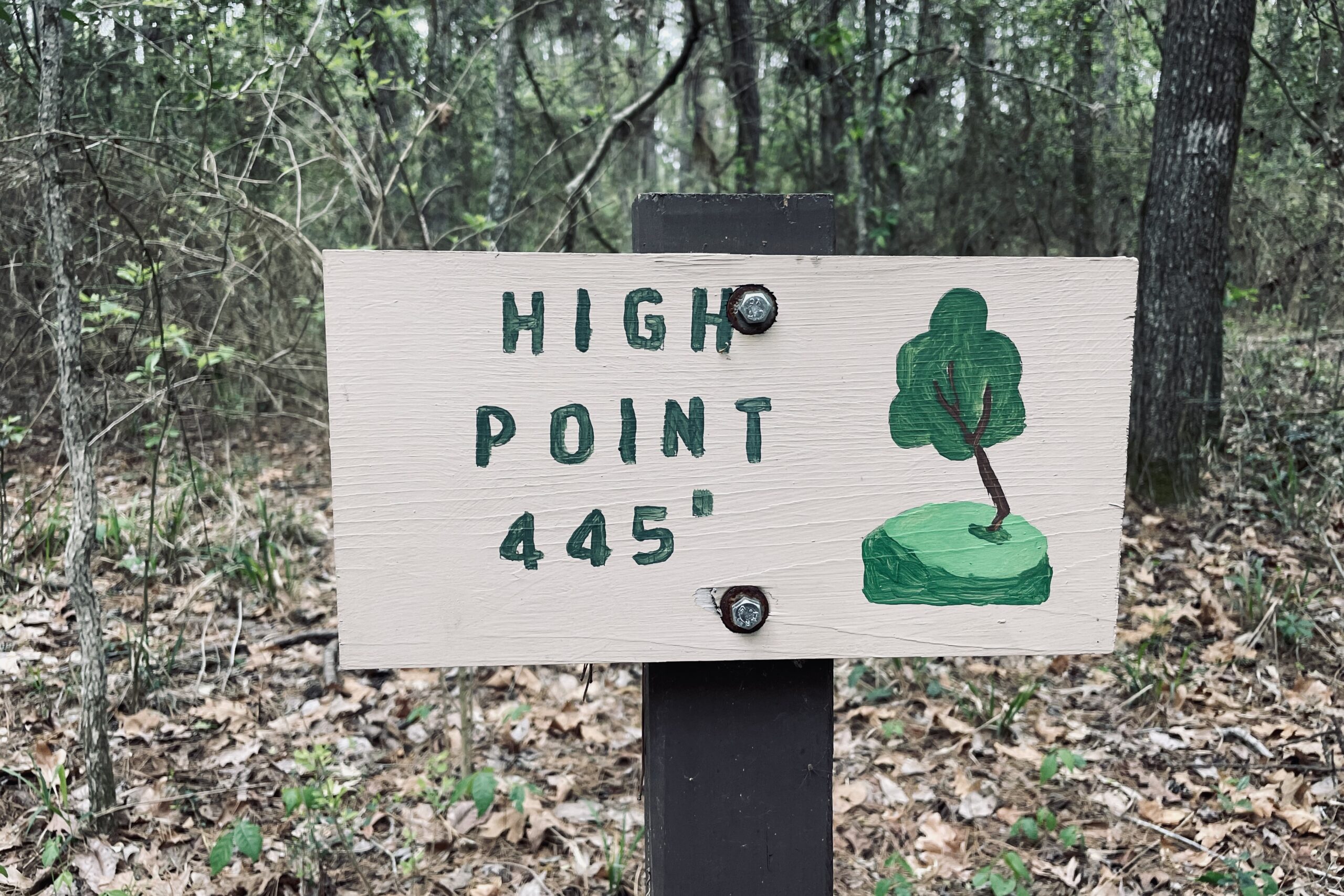
- Peak Elevation: 445 feet
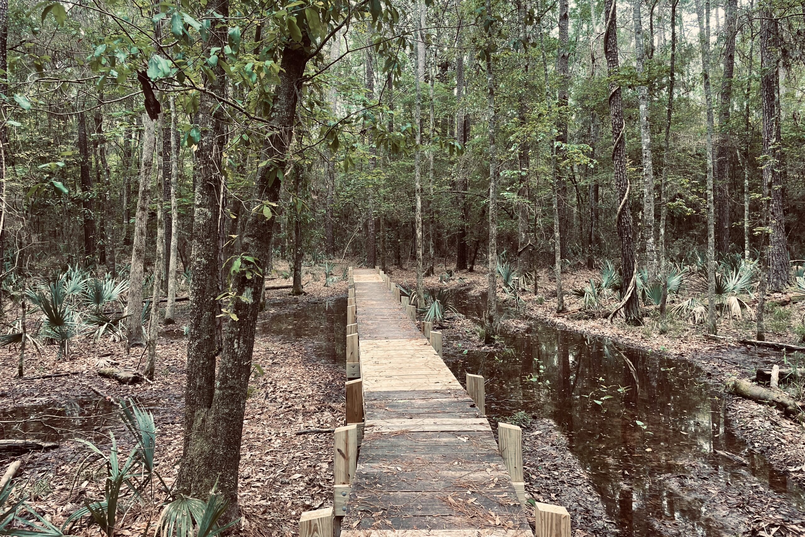
- Low Elevation: 191 feet in Winters Bayou
- Elevation Gain/Loss (Approximate): 6,282 feet
- Best Time to Hike: January-April
- Permits: None
- Difficulty: Easy
Highlights
- Generally green and snow-free much earlier in the year than other parts of the country
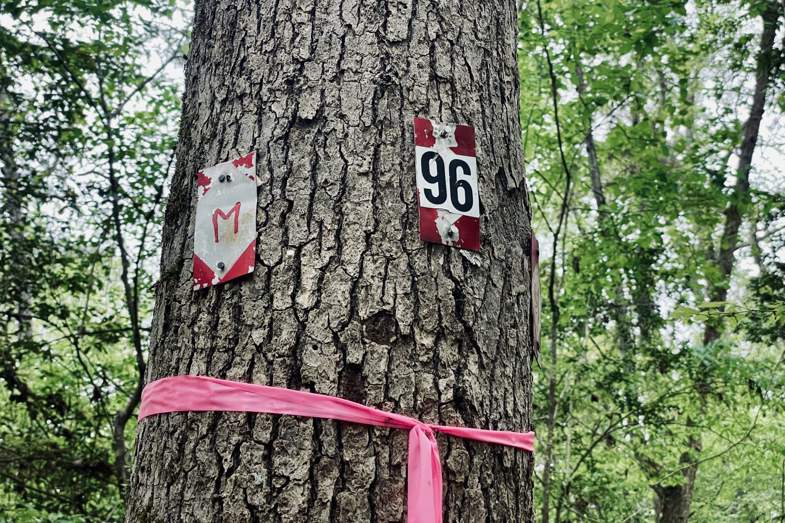
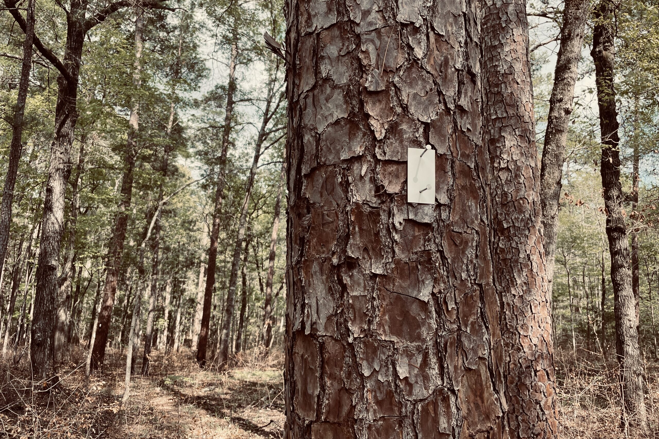
- Well-marked, easy-to-follow trail
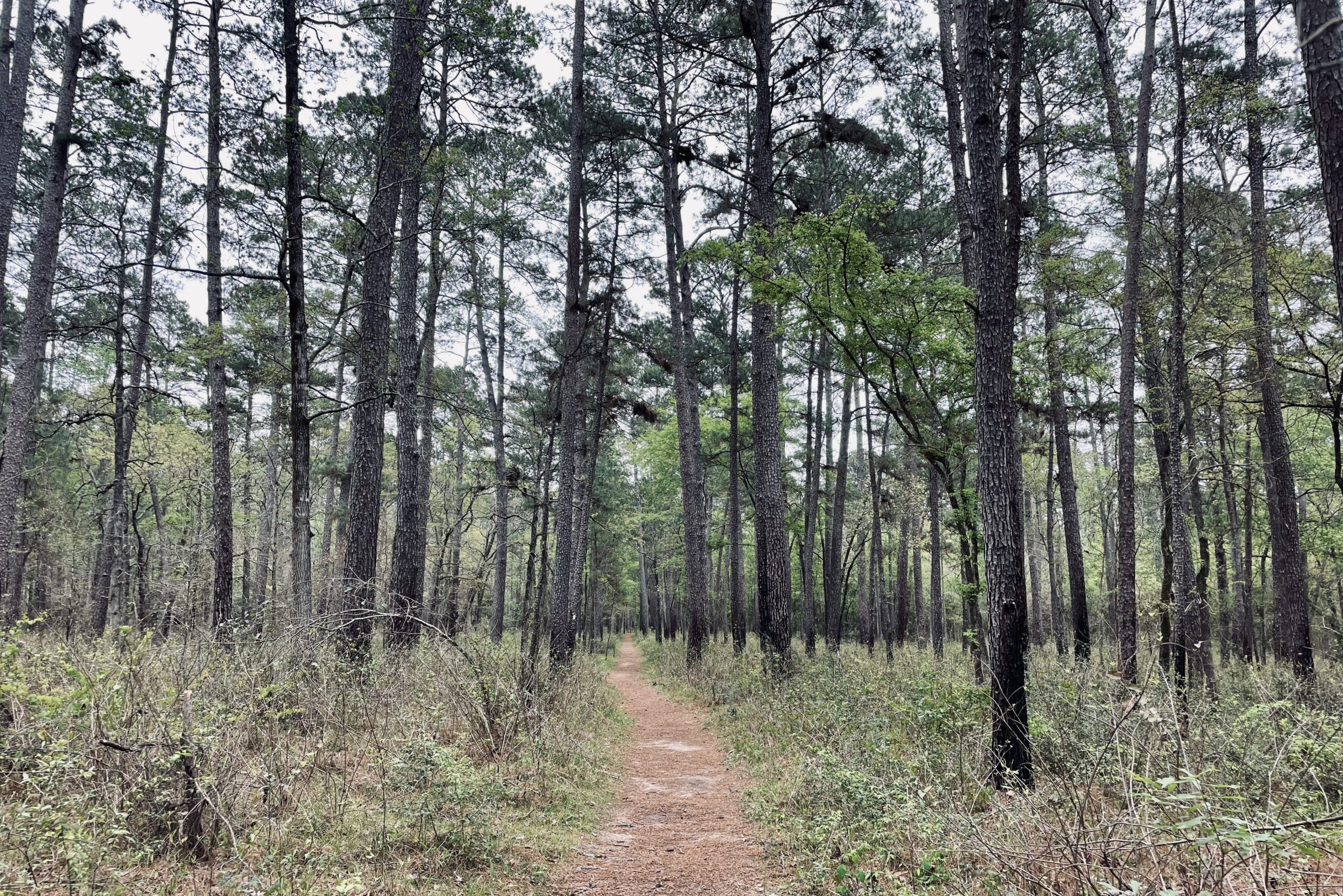
- Flat terrain is easy on the body and great for beginner backpackers
- Lots of tree diversity
- Big Creek Scenic Area is gorgeous
- Close to Houston area for easy access
- Shorter length makes it doable in a week
Lowlights
- Some hikers find this trail “boring” due to flat terrain and green tunnel scenery
- Humid year-round
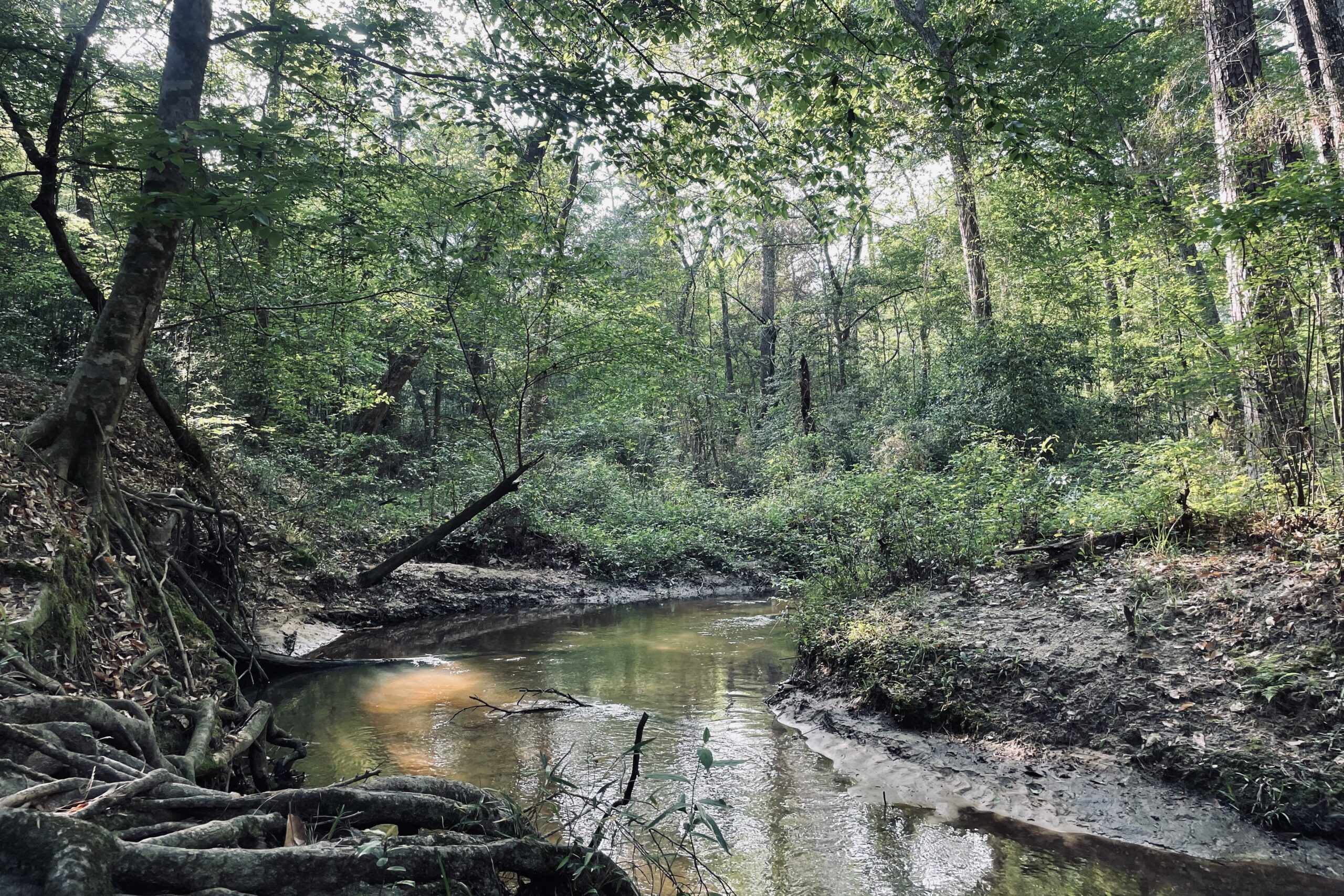
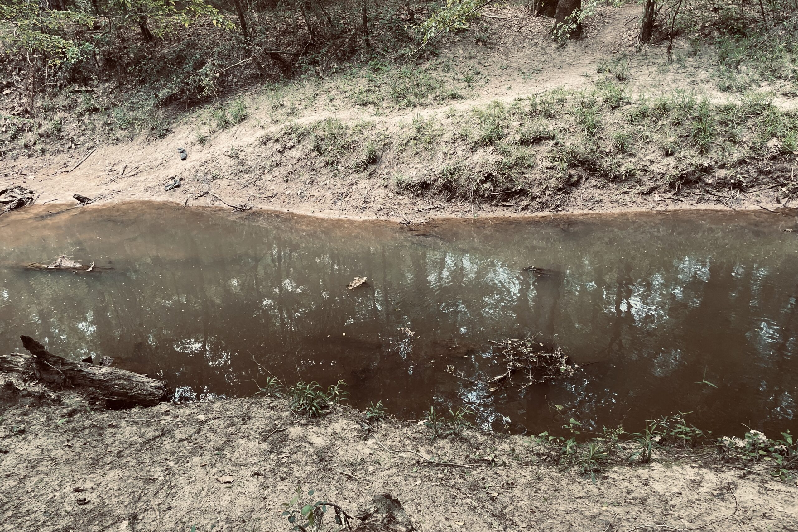
- San Jacinto Creek can be difficult to cross at times
- Lots of road walking for such a short trail
Best Time to Hike
It is technically possible to hike the LSHT year-round due to the mellow terrain and lack of snow in the winter. However, summers can be brutally hot, and the falls are quite dry. As such, winter and early spring are generally the best times to hike. Water is more abundant and temperatures are more pleasant from January to February.
Difficulty of Trail
Though there are some difficulties associated with the LSHT being an overnight trip, generally it is considered easy in comparison to other backpacking trips of similar length due to the relatively flat terrain and well-marked trail. Of course, there are always considerations when planning any backpacking trip. Below are some things to keep in mind when planning to hike the Lone Star Hiking Trail.
HEAT & HUMIDITY
The LSHT can be quite warm and humid most of the year, which can present hazards for those who are not accustomed to these conditions. Even in March we found many of the nights to be quite warm for sleeping, and it only gets worse as the year goes on. Plan ahead to stay cool, drink plenty of water, and layer accordingly.
WATER
We did not have any issues finding water, but this is a common complaint among thru-hikers. Water will be more readily available during the winter and spring months as opposed to the dry season of late summer and fall. Planning to hike during wetter months of the year can make a big impact on how much water you need to carry. This is especially true for those who are less comfortable managing water on a longer backpacking trip.
ROAD WALKS
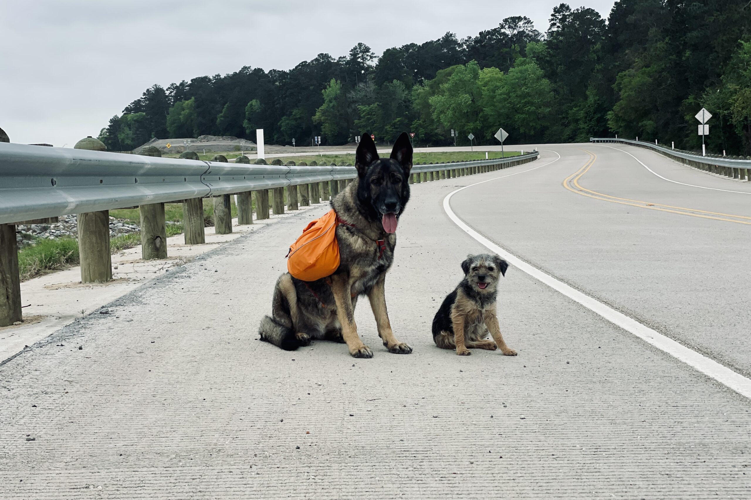
There are a surprising number of road walks given the shorter overall length of this thru-hike. Approximately 12 miles of the trail is on roads, though a good portion of that is dirt rather than pavement. The close proximity to an urban area and lack of trail culture mean that it would be difficult to hitch around these sections. Loose dogs roaming on their owners’ property is something hikers who choose to complete the road walks should also be aware of.
SHUTTLING
Because this is a point-to-point hike, it is necessary to arrange a shuttle ride either at the beginning or end of this hike. We generally prefer to book a shuttle for the beginning of a trip to avoid rushing to meet a deadline or sitting around waiting for an appointment at the end of a trip. There are individuals on the Lone Star Hiking Trail Facebook group who are willing to help out thru-hikers.
Planning Your Itinerary
Resources for this hike are a bit more limited compared to longer, better-known trails. However, it is still easily doable, even for a beginner, with some determination. When planning a thru-hike, we found the Lone Star Hiking Trail Club website to be helpful, particularly the turn-by-turn PDF available on the thru-hiker page. We downloaded the guide to our phone and used that along with a GPX file on GAIA GPS to navigate. The Lone Star Hiking Trail Facebook group is also a great resource for planning or arranging a shuttle.
MAPS & RESOURCES
- CalTopo: Overview Map
CAMPING
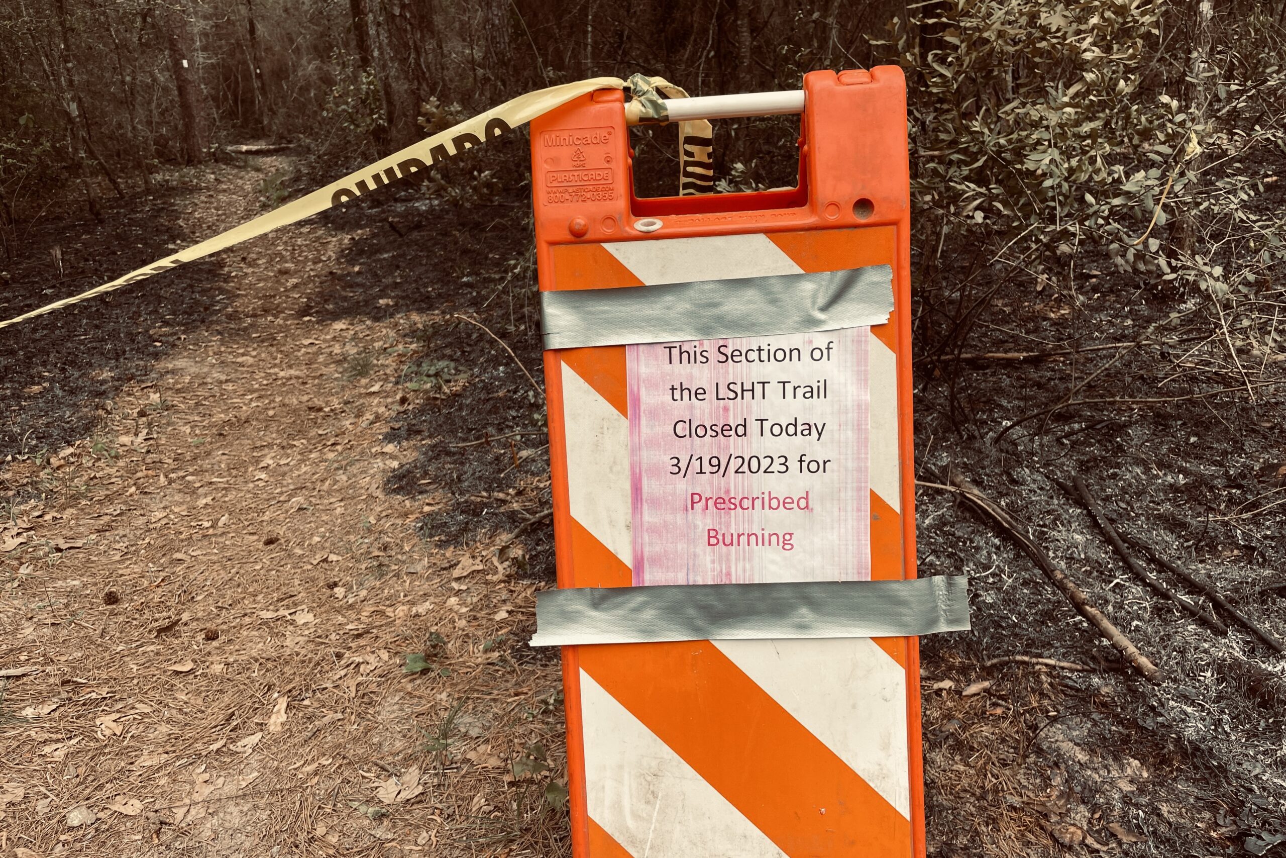
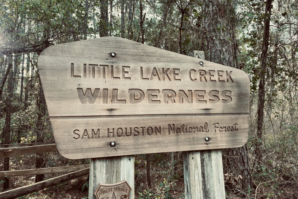
Most of the year, camping is allowed anywhere on public land. However, hikers hitting the trail during hunting season should make sure to camp in designated hunting camps. Pitching a tent in other areas during this time of year is not only prohibited, but also a safety concern. Designated hunting camps are listed on the Lone Star Hiking Club website. Hunting season spans from late September to late January.

Which Way to Hike
Hikers really have their choice on whether to hike this trail eastbound or westbound. Some thru-hikers report preferring to hike eastbound to deal with the Winters Bayou mud at the end of their thru-hike rather than the beginning. Another benefit of that direction is that it feels more like hiking downhill, though this difference is negligible on such a flat trail. Overall, we suggest choosing a direction based on which trailhead is closer to where you will be coming from.
Getting There
Both the east and west trail heads are located about an hour from the George Bush Intercontinental Airport in Houston. The entirety of the LSHT is north of Houston and the drive between LSHT Trailhead #1 and #9 is only about 40 minutes on farm roads. Both ends of the trail have decent-sized parking lots, and hikers can leave vehicles parked for up to two weeks at their own risk. We found them to be easy to access using GPS navigation when driving in from out of town.
How to Resupply
It is very doable to hike the LSHT without needing to resupply, particularly for more experienced backpackers. For those who wish to hike at a slower speed, there are a handful of convenience stores, grocery stores, and hotels that can be accessed from the trail. Convenience stores can be reached with less than 2 miles of walking, one way, from trailheads #7, #11, and #14. Other resupply locations and accommodations are best accessed using a shuttle or Uber. The Lone Star Hiking Trail Club has a list of resupply locations on their website on the thru-hike page under the “support” tab.
Gear List
Make sure to check out our Ultimate Backpacking Checklist, so you don’t forget something important.
Below you’ll find our current favorite backpacking gear. If you want to see additional options, our curated gear guides are the result of many years of extensive research and hands-on testing by our team of outdoor experts.
BACKPACK
- Best Backpacking Pack Overall: Gregory Paragon 58 – Men’s / Gregory Maven 58 – Women’s
- Best Ultralight Backpacking Backpack: Hyperlite Mountain Gear Unbound 40
- More: Check out our best backpacking backpacks guide for ultralight and trekking options
TENT
- Best Backpacking Tent Overall: Big Agnes Copper Spur HV UL2
- Best Ultralight Tent: Zpacks Duplex
- Best Budget Tent: REI Half Dome 2
- Best Tent Stakes Overall: All One Tech Aluminum Stakes
- More: Check out our best backpacking tents guide for more options
SLEEPING BAG/QUILT
- Best Sleeping Bag Overall: Men’s Feathered Friends Swallow YF 20 / Women’s Feathered Friends Egret YF 20
- Best Quilt Overall: Enlightened Equipment Revelation 20
- More: Check out our best backpacking sleeping bags guide and best backpacking quilts guide for more options
SLEEPING PAD
- Best Sleeping Pad Overall: NEMO Tensor All-Season
- Best Foam Sleeping Pad: NEMO Switchback
- More: Check out our best backpacking sleeping pads guide for ultralight and trekking options
CAMP KITCHEN
- Best Backpacking Stove Overall: MSR PocketRocket 2
- Best Backpacking Cookware Overall: TOAKS Titanium 750ml
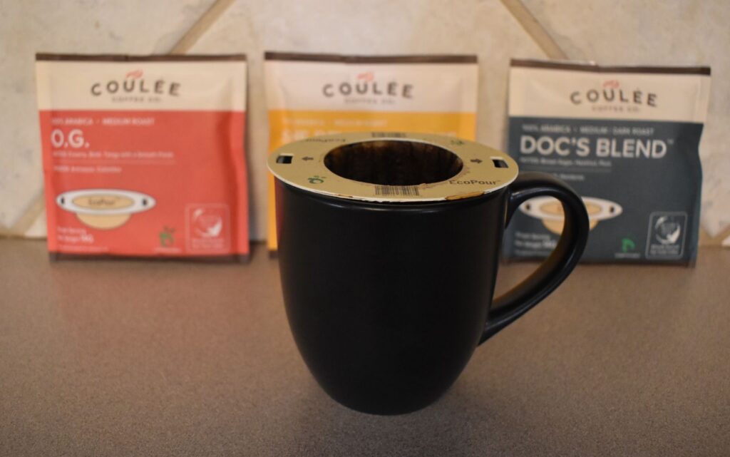
- Best Backpacking Coffee Overall: Starbucks VIA
- More: Check out our best backpacking stoves guide and best backpacking cookware guide for ultralight and large group options
WATER & FILTRATION
- Best Water Filter Overall: Sawyer Squeeze
- Best Hydration Bladder Overall: Gregory 3D Hydro
- Best Backpacking Water Bottles: Smartwater Bottles
- More: Check out our best backpacking water filters guide and best backpacking water bottles guide for ultralight and large group options
CLOTHING
- Best Hiking Pants Overall: Men’s Outdoor Research Ferrosi / Women’s The North Face Aphrodite 2.0
- Best Hiking Shorts Overall: Men’s Patagonia Quandary / Women’s Outdoor Research Ferrosi
- Best Women’s Hiking Leggings: Fjallraven Abisko Trekking Tights HD
- Best Rain Jacket Overall: Men’s Patagonia Torrentshell 3L / Women’s Patagonia Torrentshell 3L
- Best Rain Pants: Men’s Patagonia Torrentshell 3L / Women’s Patagonia Torrentshell 3L
- Best Down Jacket Overall: Men’s Patagonia Down Sweater Hoodie / Women’s Patagonia Down Sweater Hoodie
- Best Fleece Jacket Overall: Men’s Patagonia Better Sweater / Women’s Patagonia Better Sweater
- Best Sunshirt Overall: Men’s Outdoor Research Echo / Women’s Outdoor Research Echo
- Best Socks Overall: Men’s Darn Tough Light Hiker Micro Crew / Women’s Darn Tough Light Hiker Micro Crew
- Beste Ultralight Liner Glove: Patagonia Capilene Midweight Liner
- More: Check out our best backpacking apparel lists for more options
FOOTWEAR & TRACTION
- Best Hiking Shoes Overall: Men’s HOKA Speedgoat 6 / Women’s HOKA Speedgoat 6
- Best Hiking Boots Overall: Men’s Salomon X Ultra 5 GTX / Women’s Lowa Renegade Evo GTX
- Best Hiking Sandals Overall: Men’s Chaco Z/1 Classic / Women’s Chaco Z/1 Classic
- Best Camp Shoes Overall: Crocs Classic Clogs
- Best Traction Device for Hiking Overall: Kahtoola MICROspikes
- More: Check out our best backpacking footwear lists for more options
NAVIGATION
- Best GPS Watch Overall: Garmin Instinct 2 Solar
- Best Personal Locator Beacon (PLB): Garmin inReach Mini 2
- More: Check out our article How to Use Your Phone as a GPS Device for Backpacking & Hiking to learn more
FOOD
FIRST-AID & TOOLS
- Best First-Aid Kit Overall: Adventure Medical Kits Ultralight/Watertight .7
- Best Pocket Knife Overall: Kershaw Leek
- Best Multitool Overall: Leatherman Wave+
- Best Headlamp Overall: Black Diamond Spot 400-R
- Best Power Bank Overall: Nitecore NB 10000 Gen 3
- More: Check out our best first-aid kit guide, best pocket knife guide, best multitool guide, best backpacking headlamps guide, and best power banks guide for more options
MISCELLANEOUS
- Best Trekking Poles Overall: Black Diamond Pursuit
- Best Backpacking Chair Overall: REI Flexlite Air
- Best Backpacking Stuff Sack Overall: Hyperlite Mountain Gear Drawstring
- More: Check out our best trekking poles guide, best backpacking chairs guide, and best stuff sacks guide for more options
Conclusion
The Lone Star Hiking Trail is great for those who need a quick reprieve from winter’s grasp. With its relatively easy terrain and access to a major city, this Texas trail is one to check out on your next stint of PTO.
And be sure to check out some of our other popular content: