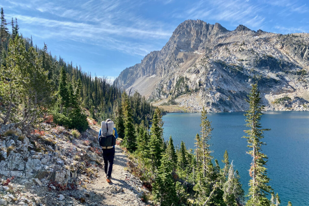
One piece of gear that’s revolutionized navigation in the backcountry is the smartphone.
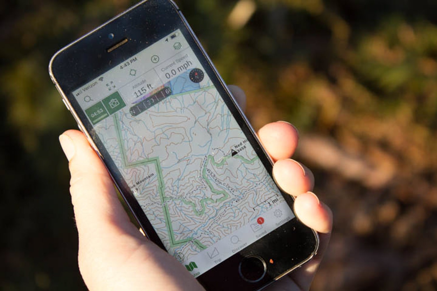
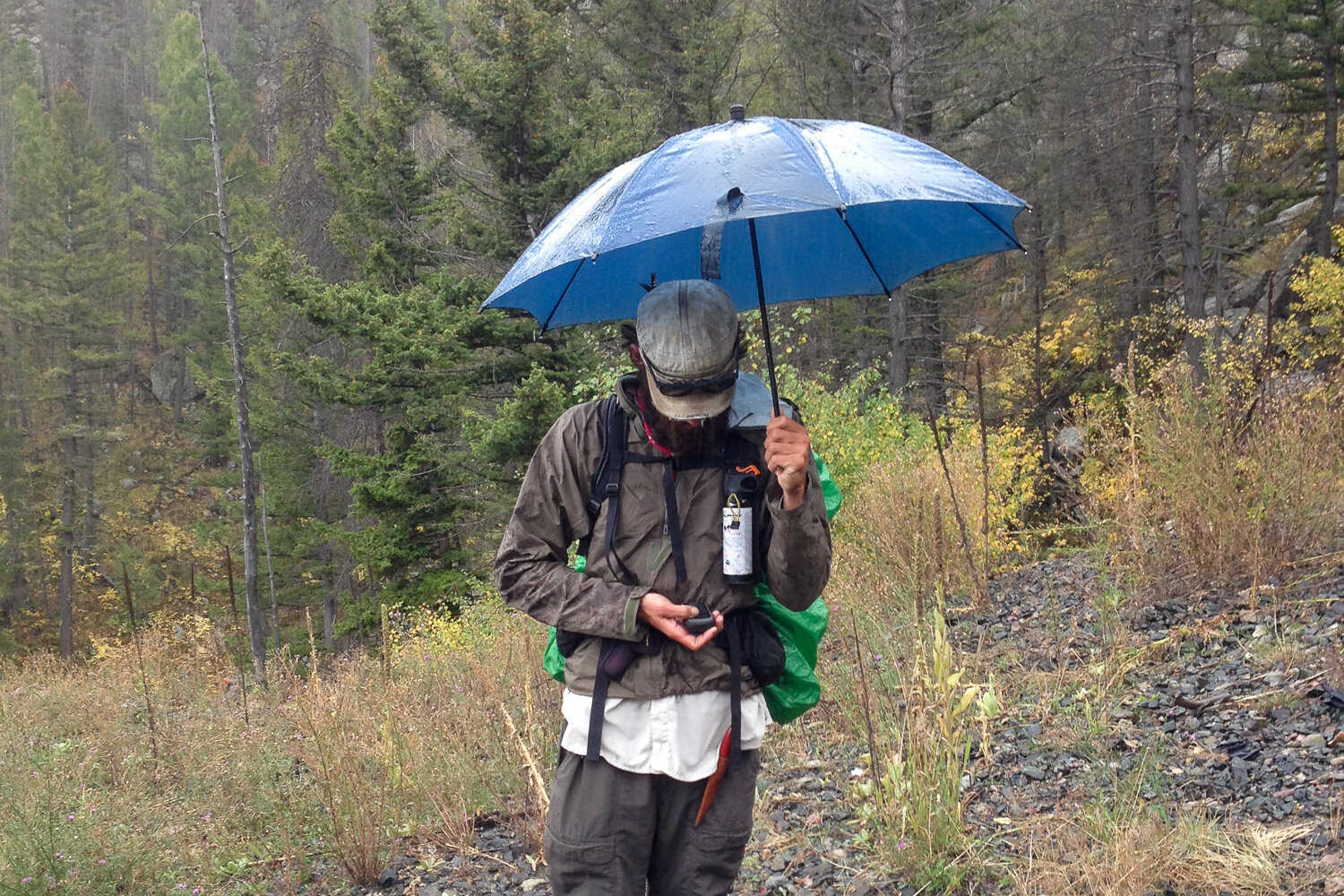
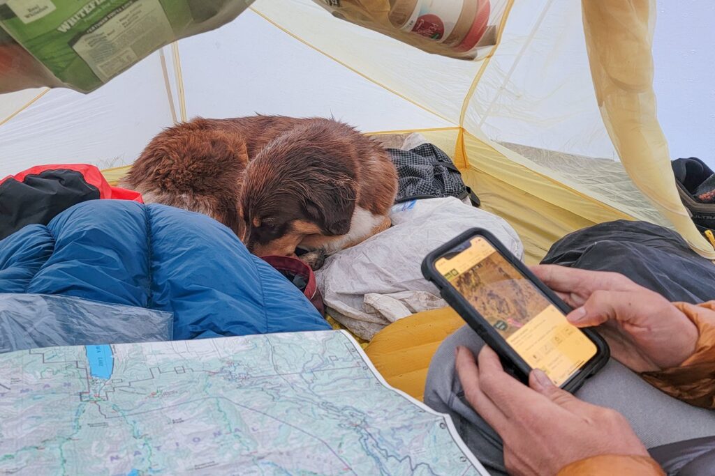
Your smartphone easily doubles as an excellent wilderness GPS device. It’s constantly acquiring satellite signals even when cell tower is miles away. With the right app, you can use this feature to your advantage by turning your phone into an affordable and reliable navigation tool. We don’t condone going into the wilderness without paper maps because things happen to your phone (we’ve had our visit the bottom of an alpine lake, smashed by taking a tumble on granite rocks, or just die from getting too cold).
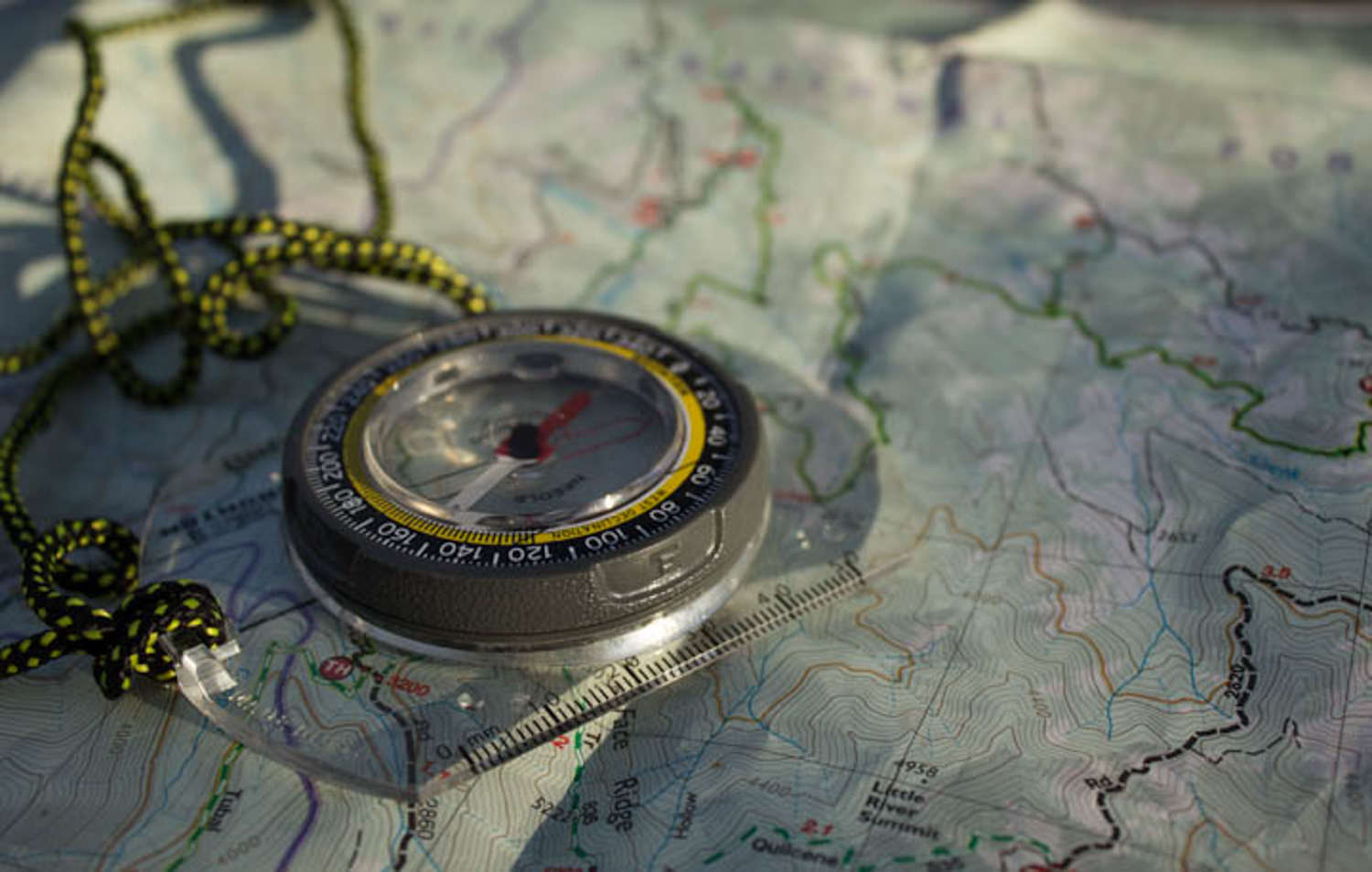
Additionally, we highly stress the importance of knowing basic navigation skills and learning how to use a map and compass. That little dot on the gps map is easy to overly rely on. GPS mapping on your phone is convenient, adds a layer of navigation support, and often speeds up our route-finding.
Do I Really Need A GPS Device?
In short, yes. When you’re in the backcountry, navigation is absolutely critical. Without it, you can easily wind up lost and find yourself in a very dangerous situation. By bringing a GPS device (along with your map and compass), you will always know exactly where you are, which will help keep you safe and will make your trips far more stress-free.
It’s very common to be uncertain about how far the next trail junction, campsite, water source, or key landmark is along your route. Or maybe you already passed it without noticing? So are you still on the right trail or not? Because this isn’t feeling quite right… and…commence panicking. However, with a phone’s GPS app, all those questions are answered almost instantly. Once you learn how to use one of the many mapping apps, you’ll find it very useful for pinpointing your location, tracking your progress, and route planning.
For us, learning how to turn our phones into GPS devices has been a huge game-changer on our backcountry trips.
Why Use Your Phone?
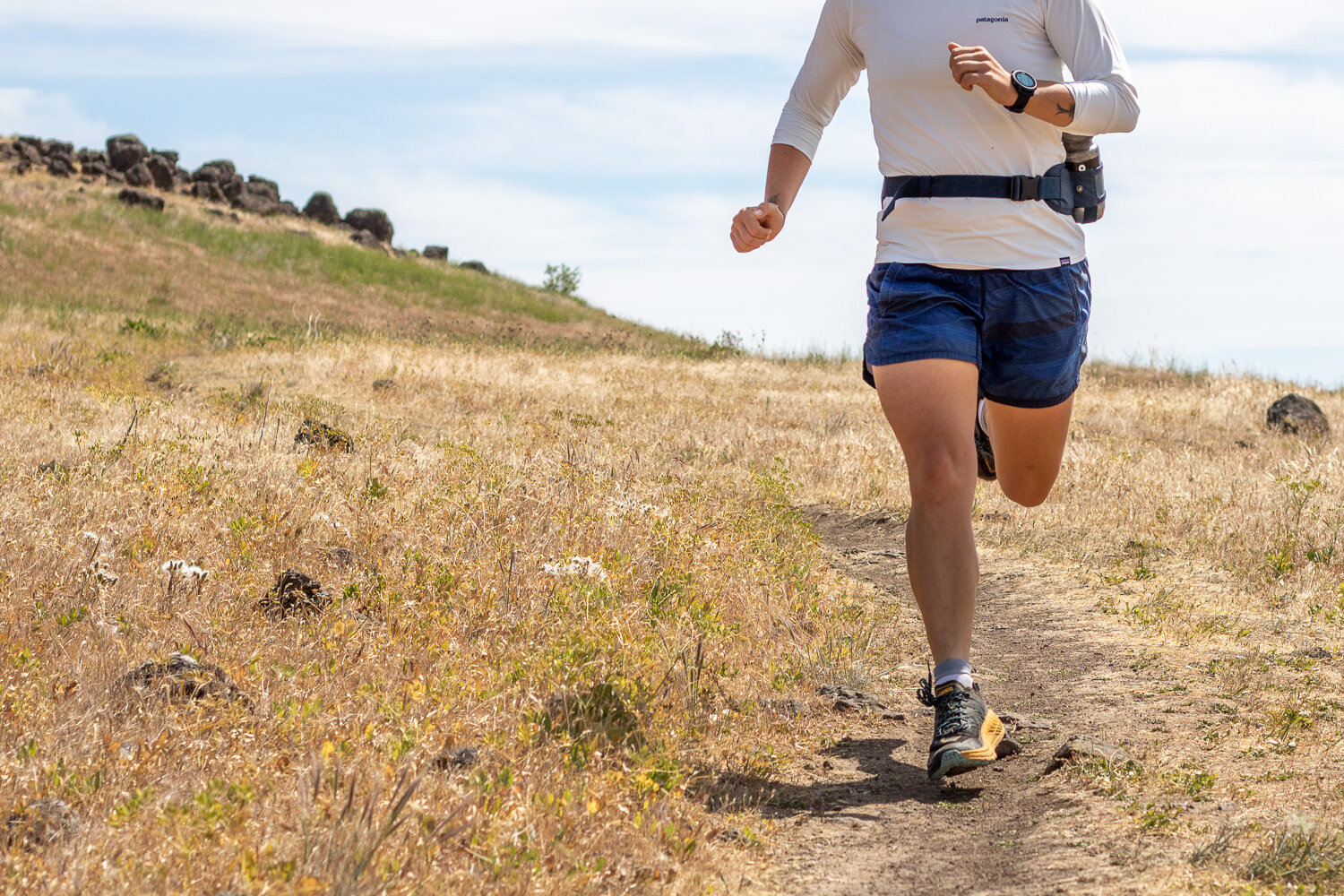
While Garmin may still hold its seat as the leader in handheld GPS devices, they are probably starting to sweat. They aren’t exactly budget-friendly, simple to use, and they add bulk to your pack weight. Plus, Apple (iPhone 14 and later) and Google (Pixel 9 series), and the Samsung Galaxy S25 series offer satellite messaging, which is a huge safety benefit. We have an iPhone 14, and at least for us, satellite messaging is included. In our minds, a phone is an essential backcountry tool.
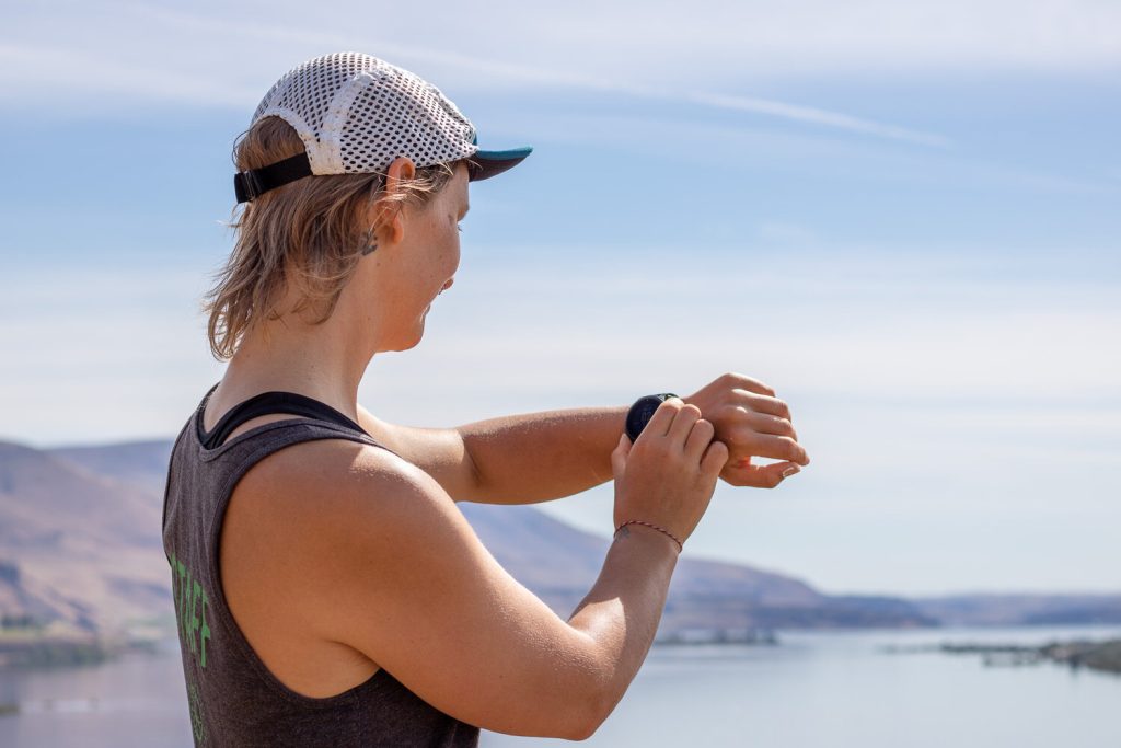
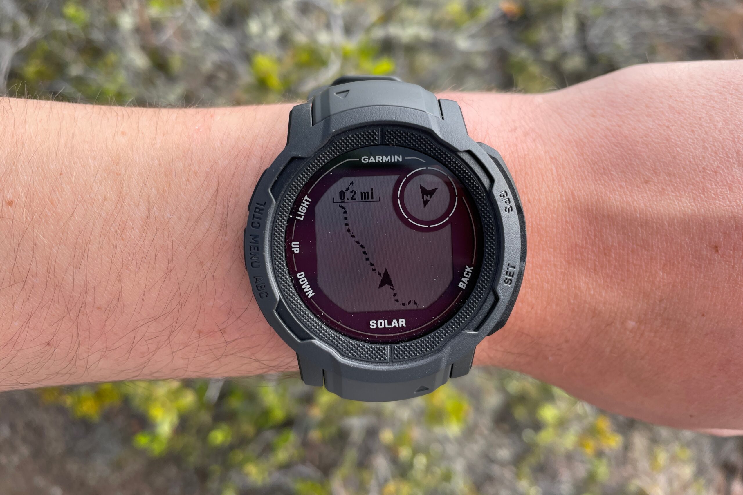
You might be used to your favorite GPS watch for tracking your activities, and some GPS watches have offline topo map capabilities. However, they should be combined with a more comprehensive offline phone navigation app in case you get lost, change routes or your watch dies.
How Phone GPS Works
GPS systems are obviously pretty complicated, but here are the basics. GPS stands for Global Positioning System. In short, this is a network of about 24 active satellites used for navigation. Your GPS-enabled phone acts a receiver, communicating with these satellites to pinpoint your exact location on earth. This location tracking is obviously very useful, especially for applications like wilderness travel.
No Service? No Problem.
You may be wondering if you need cell service for your phone’s GPS to work, and the answer is no, you don’t. GPS relies on satellites, not cell towers. So even when you have no signal, your phone’s GPS will be up and running. And that’s a very good thing because you’ll be hard pressed to find cell service in most remote wilderness areas.
However, even though your GPS system will work without cell service, it’s very important that you download the correct maps to your phone before you get out of service. If you don’t, your phone will still be able to locate you, but you’ll show up as a blue dot on a blurry map, and that won’t be useful at all. Plus you’ll drain your battey.
Also, in order for your GPS to work best, your phone needs a clear signal path to the sky. This means heavy tree cover, deep slot canyons, or other impeding objects may make it hard for your phone to get an accurate GPS signal. That said, in our experience, we’ve mostly gotten excellent GPS coverage with our phones, even in dense forests and deep canyons.
Which Apps Work Best For Backpacking?
When it comes to GPS navigation apps, there are a few we recommend above the rest for backpacking trips:
You’ll also need signal-free driving directions to get to/from your wilderness trailhead, and for that, we use an app called Maps.me.
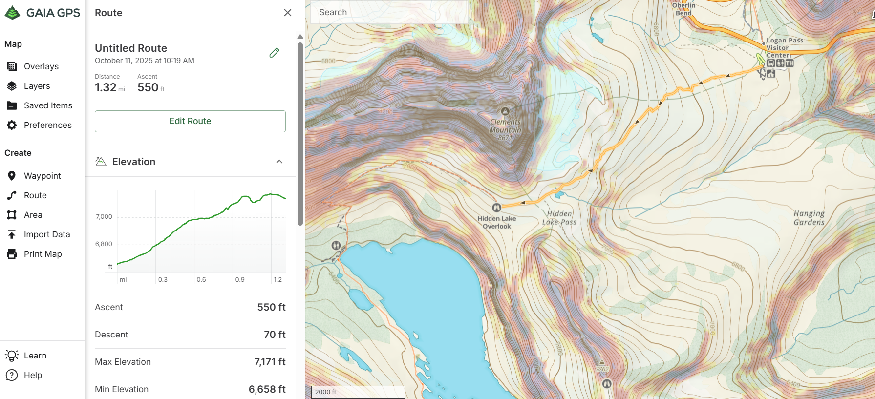
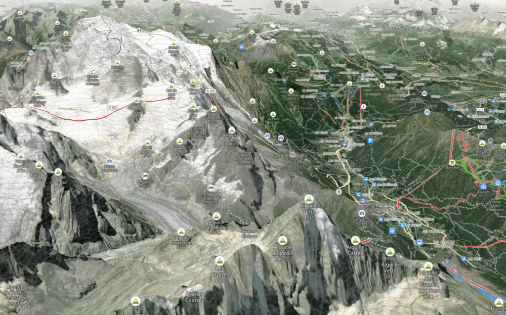
Gaia GPS
Gaia GPS gives you access to an impressive catalog of over 300 downloadable and printable base maps. Users report liking its base map readability and its relative user-friendliness for building itineraries and tracking routes.
GaiaGPS has changed owners (Outside bought in 2021), which is still causing some issues for users. One major bugger to us is that they automatically set your tracks data to public. They also no longer use National Geographic Trails Illustrated and ESRI World Imagery as map options.
You can create customized maps by adding your own overlays, trails, GPX tracks, and waypoints for increased guidance. This includes helpful information for active fires as well as public and private land. We find Gaia’s user interface to be relatively user-friendly, although, as with most GPS tools, there’s definitely a learning curve.
While this app allows the option of recording your trip, we omit using this feature in exchange for prolonged battery life.
Gaia GPS comes in three different levels: free, membership, and premium membership. We also recommend checking out the tutorial on using Gaia GPS.
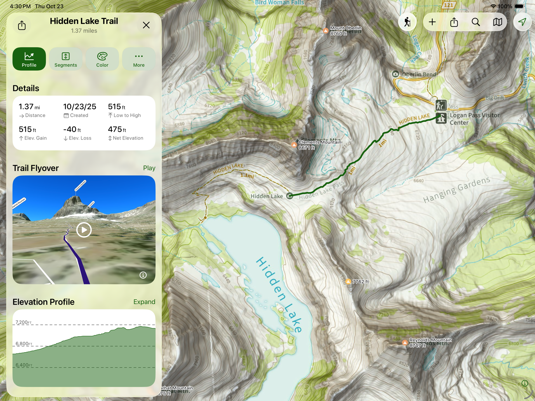
Topo Maps+
Topo Maps+ is primarily for iPhone users and designed specifically for backpackers, by backpackers. This app features an array of excellent maps, including USGS Topo, Accuterra, Thunderforest, Open Cycle, ESRI’s ArcGIS , and many more.
With this app, printing and downloading maps is easy and comes in crystal clear quality thanks to the high resolution. With data from 500,000+ trails, you have an extensive list right at your fingertips.
CleverHiker founder Dave Collins has been using it for creating routes and adding waypoints for years. He especially likes features that allow him to see the exact distance and elevation gain between any important waypoints on his route, his location, and detailed elevation profiles for his route. It is also easy to download selected areas of maps for offline use.
As with Gaia, Topo Maps+ will take some time to learn how to use (here’s the tutorial help page), but that will be time well spent.
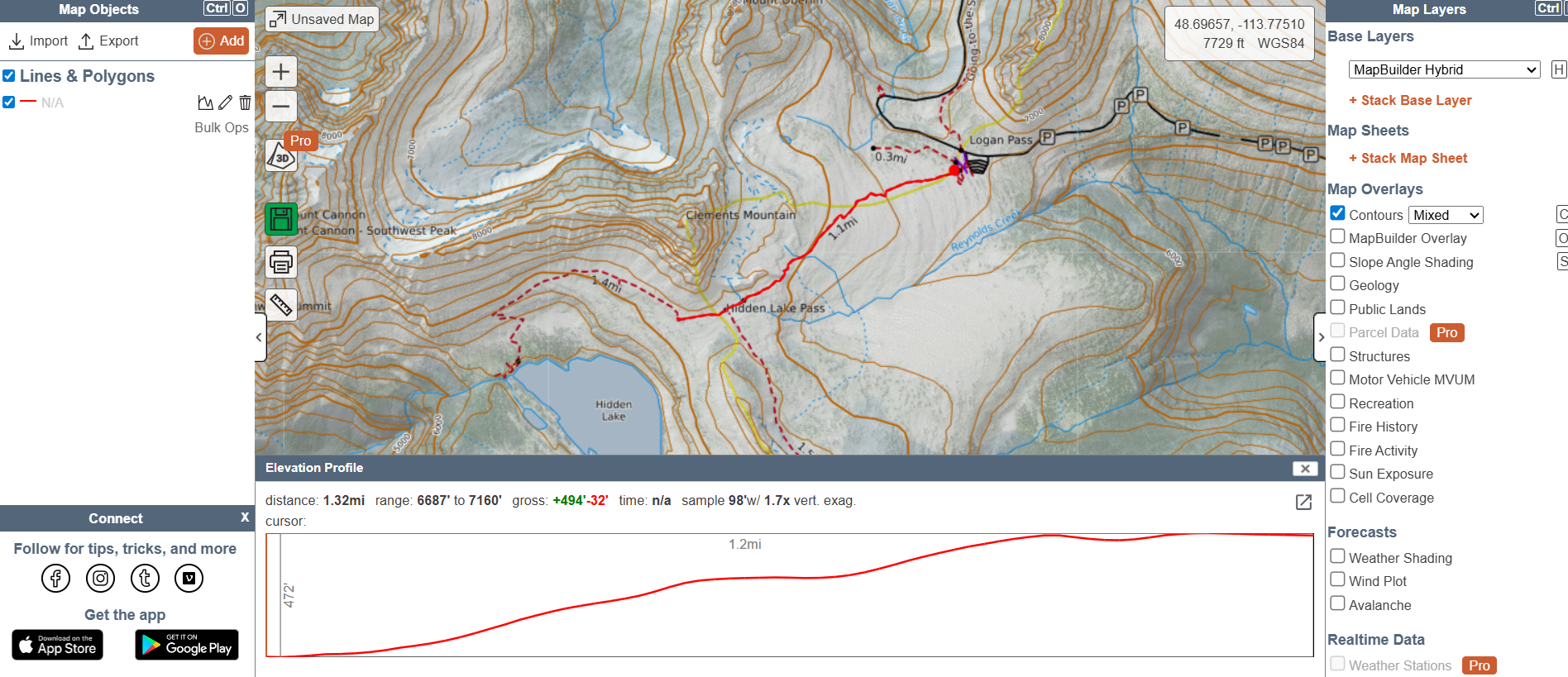
CalTopo
CalTopo was originally created for Search and Rescue operations, but now has a diehard following of backcountry recreators. Beware, it has a slower learning curve than other navigation options. But once you’re in the CalTopo club, most don’t leave.
With its detailed map layers including topo, slope angle, and weather data that aid trip safety and planning. It offers powerful route creation and customization with ability to print high-resolution maps for offline use. We’ve enjoyed starting with Caltopo on the computer and then syncing with our mobile app. It makes route edits easy, and it supports advanced features like elevation profiles and track recording, essential for complex hikes.
The app’s complexity can be intimidating for casual hikers or beginners. Offline use and some map layers require a paid subscription. CalTopo is working on making the interface more user-friendly and they recently added new USGS 3D Elevation Program (3DEP) data, expanding high-resolution LiDAR coverage in many backcountry areas.
On X
OnX is very popular (and often goes on sale) amongst outdoor recreators of all kinds. It was originally developed to solve a navigation and land ownership problem for hunters. Now the app serves backcountry skiers and hikers, hunters, anglers, overlanders, and private landowners with its straightforward, easy-to-navigate interface. If you’re a multisport type, this might be a good way to consolidate your apps into one.
Like the other options, OnX offers offline maps and waypoint marking for trail navigation. We’ve enjoyed details other apps have, like detailed land ownership and public lands info. It not only helps hikers avoid trespassing but also explores legal backcountry access routes. With public lands and access rights under threat, this app is useful for knowing who holds the rights to each area you intend to recreate in.
OnX has fewer specialized hiking maps and advanced planning tools. It lacks deep customization options and detailed elevation analysis needed for technical backpacking trips. The subscription cost can increase if hikers want access to multiple regions.
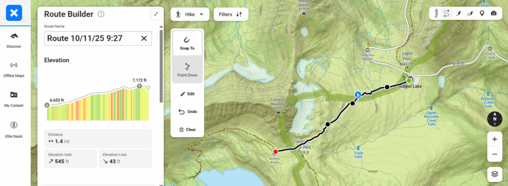
Goat Maps
The latest backpacking/hiking navigation app for iPhones as of November 2024 is Goat Maps. It was developed by a small team of creators, some of whom are the original founders of Gaia GPS. This option focuses on solving major complaints of current options and provides all the essentials needed for backpacking/hiking, and none of the fluff. It delivers straightforward route creation, elevation profiles, and slope shading. While we aren’t ready to give up our more comprehensive navigation apps, we are very psyched to see where Goat Maps is going.
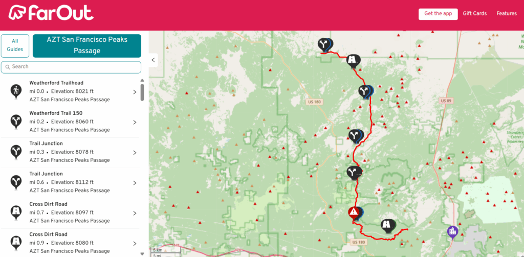
Far Out
For backpackers taking on sections of thru-hikes, the app FarOut is our go-to. It has over 200 long-distance trails all over the world. The data included is pretty crucial for thru-hikes like detailed waypoints for junctions, water sources, road/river crossings, campsites, and trailheads. It also has a neat check-in feature that lets your loved ones know where you are along your route.
While there are some free trails, you can purchase routes individually or go for a carte-blanche subscription.
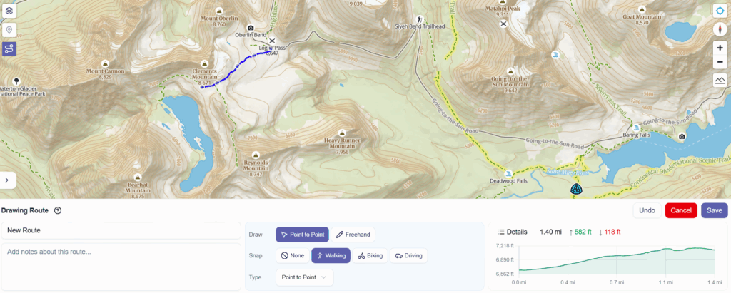
Out Maps
Outmap is a 3D map app designed for backcountry skiing, hiking, and outdoor adventures. It offers high-quality terrain visualization with slope, avalanche risk, and elevation layers, plus multiple satellite imagery options. The app supports offline maps, allowing reliable use in remote areas, and features easy route planning, track recording, and waypoint management. Outmap syncs routes and maps across devices and offers a clean, fast interface focused on clarity and precision for mountain users.
How To Use GPS Navigation Apps For Backpacking
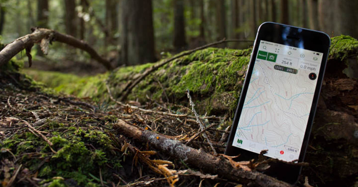
The most important thing you’ll need to do to use your phone as a GPS device is to download maps for offline use. Once you’ve downloaded the maps onto your phone for offline use, they will automatically show your location on a topo map when you’re in that area.
As far as which maps to download, we always download two different maps for offline use. One map will be the most detailed topo map we can find with trails, trailheads, and important waypoints listed. The other will be a satellite map of the area, so we can keep an eye on the terrain and scope out good sites for lunch breaks and camping.
When available, we also like to download GPX tracks for the routes we plan to travel. This can be especially beneficial if our trip includes any off-trail sections.
Conserving Battery Lifre
A dead phone will obviously be useless to you, and if you’re soley relying on your phone for navigation (you shouldn’t be), you could be in a really bad spot. So conserving battery life is a prime concern when traveling in the backcountry. Here are a few tips to maximize your phone’s battery life on the trail.
- Leave your phone in airplane mode and low power mode – our batteries will last around 4-5 days with light use on these settings
- Don’t record your tracks – this will drain your battery life big time
- Close all other apps
- Turn your phone off when not in use
- Sleep with your phone in your sleeping bag – cold temperatures can drain your battery overnight even when your phone is off
- Minimize location services in all other apps
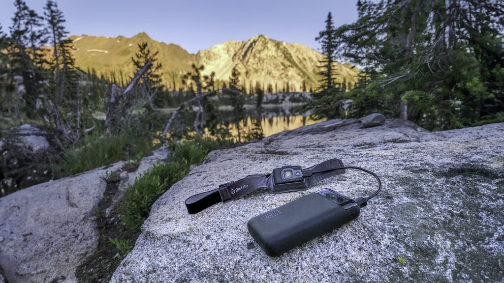
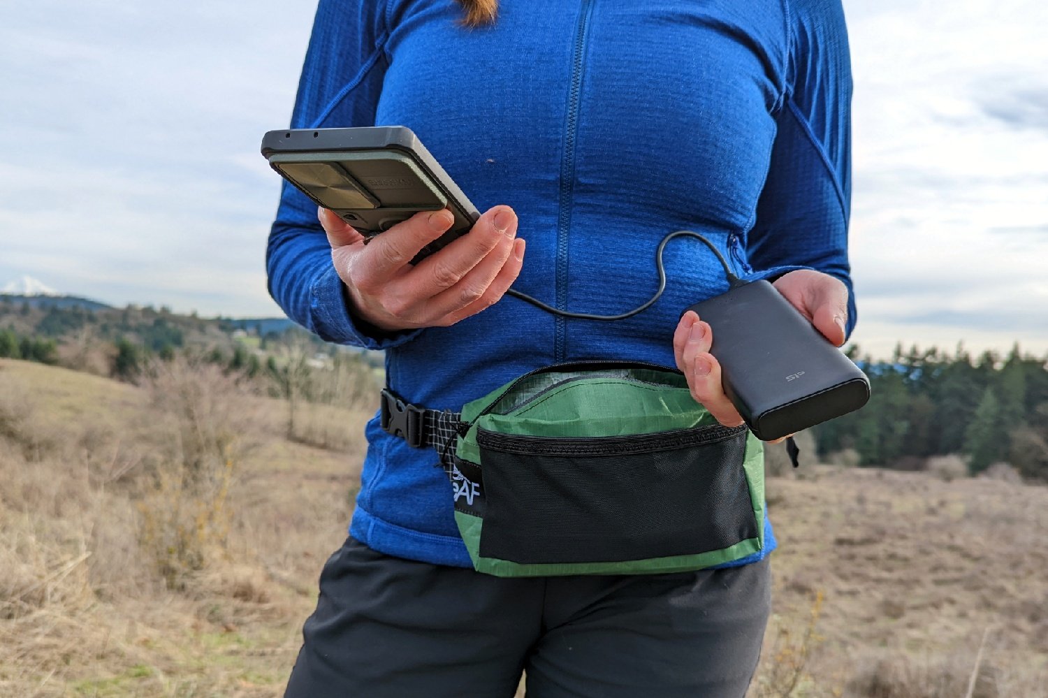
Charging Options
From solar panels to power banks, there are a plethora of compact, ultralight options for recharging your batteries while backpacking. See our best power banks list, and we also found it to be one of the most efficient. It can charge an average smartphone up to five times!
Don’t Rely Solely On Technology
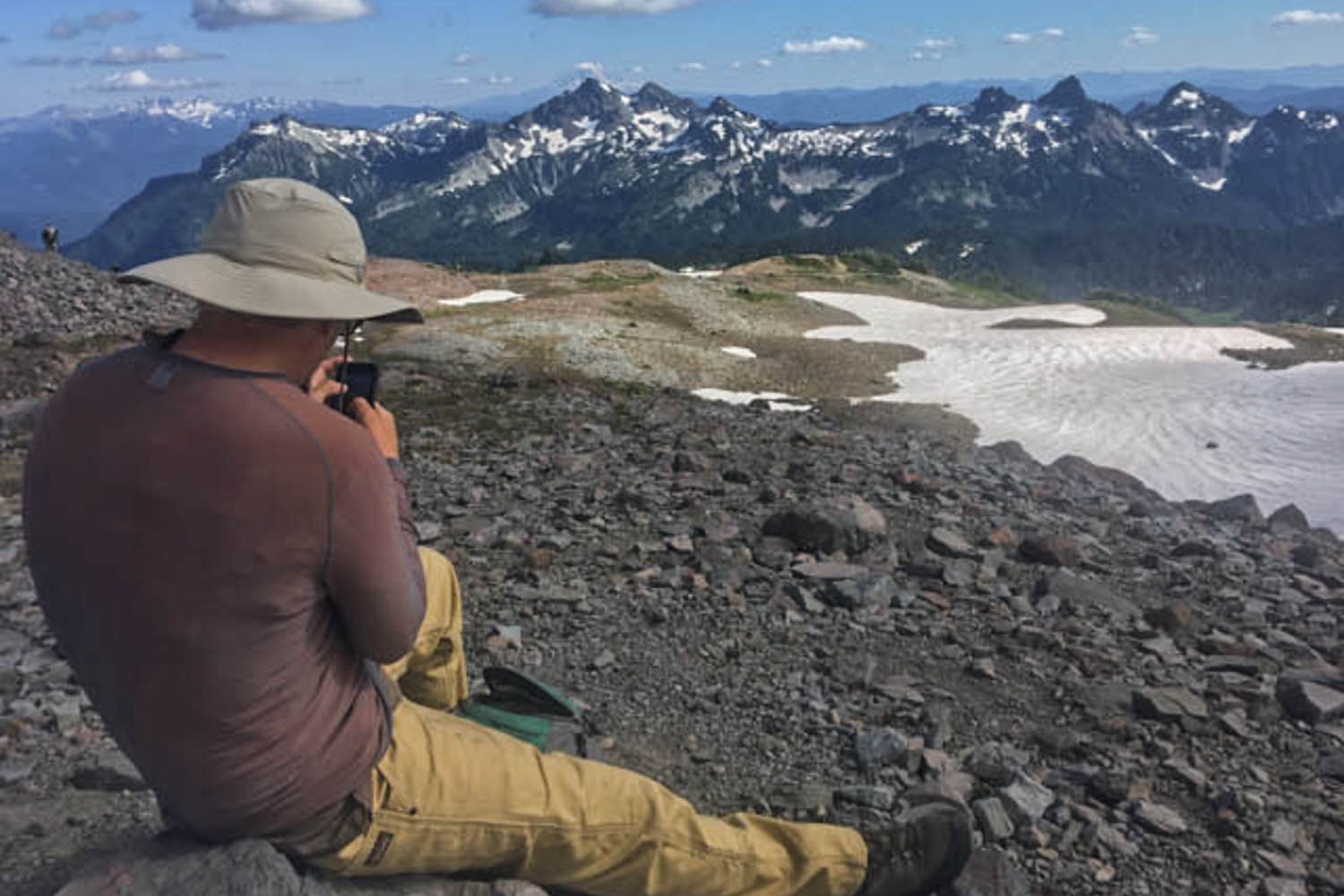
As with any new piece of gear, it’s critical to test your GPS app prior to your trip. It may take a few hours to learn how to use your GPS app properly, so make sure to spend some quality time with it.
Download some maps to your device, then take it out for a test spin on a short hike. Reference the map often until you’re comfortable enough to understand how to use it properly.
You’ll also want to pay attention to how well your phone’s battery life performs. Do a realistic test by putting your phone on airplane mode and low power mode during your trial.
Remember, once you’re deep in the backcountry, Google won’t be there to save you. So really get to know how your phone GPS app works well before hitting the trail.
Test Beforehand
As with any new piece of gear, it’s critical to test your GPS app prior to your trip. It may take a few hours to learn how to use your GPS app properly, so make sure to spend some quality time with it.
Download some maps to your device, then take it out for a test spin on a short hike. Reference the map often until you’re comfortable enough to understand how to use it properly.
You’ll also want to pay attention to how well your phone’s battery life performs. Do a realistic test by putting your phone on airplane mode and low power mode during your trial.
Remember, once you’re deep in the backcountry, Google won’t be there to save you. So really get to know how your phone GPS app works well before hitting the trail.
Other Helpful Tips & Tricks
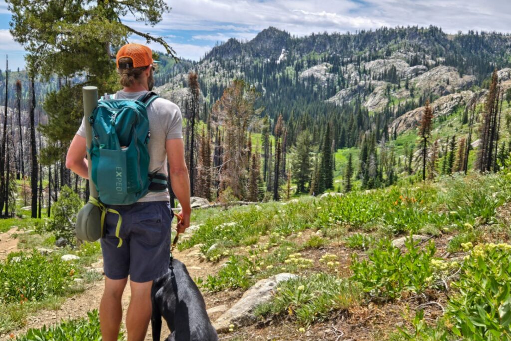
Choose a pack with hipbelts and shoulder straps
Constantly removing your pack to dig out your phone for directions is a pain. Hipbelts and shoulder straps will give you easy access to your phone for directions, without the annoyance of constant backpack removal. They’re also the ideal compartment for camera storage. There are plenty of great daypacks and backpacks with these features.
Purchase a waterproof phone case
Accidents happen. Weather happens. A waterproof and shockproof phone case is a must-have when backpacking, especially if it’s your main way to ensure you’re not getting lost in the woods.
Protect Your Maps
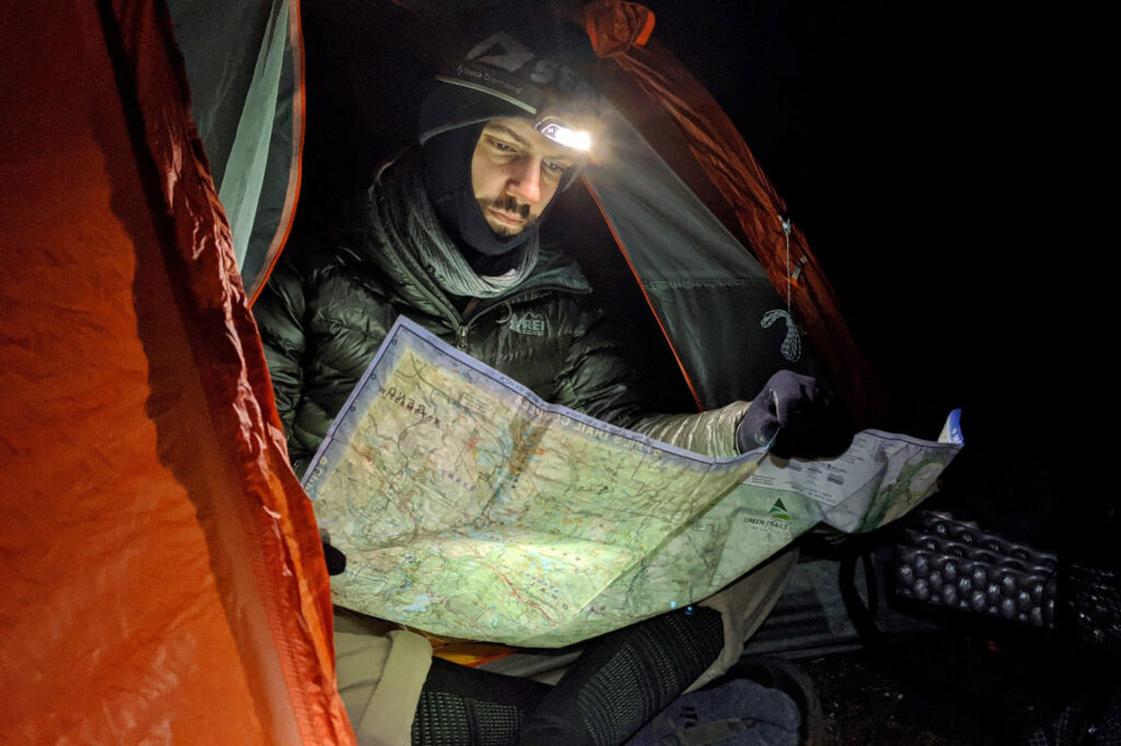
As we mentioned before, many GPS navigation apps also allow you to print paper maps for reference. If you’re going to use them in physical form, you’ll want to print them on waterproof paper. Otherwise, they’re likely to become nothing more than an ink-bleeding, wadded mess. Another option is to use a waterproof map sack to keep maps protected and dry.
In Case Of Emergency
It’s important to note that using your phone’s GPS navigation app will help with location, and many phones are adding satellite emergency messaging, but if you’re heading deep into the backcountry or into risky terrain where a medical or life-threatening emergency could occur, it is best to have a dedicated satellite messaging device.
These devices let you send simple messages, track your trip, and send an SOS signal at the push of a button – all without cell service. Here’s a list of our top picks:
- Garmin inReach Mini 2: The Garmin Mini weighs a mere 3.5-ounces and boasts 50-hours of battery life for when you need it most. It features two-way messaging with confirmation, location sharing, downloaded map storage, basic weather forecasts, and an interactive SOS for 24/7 emergency response.
- SPOT Gen4: This rugged device works solely off satellite to send your GPS coordinates to your personal contacts or a rescue center. It features SOS for emergencies, help for non-life threatening emergencies, one-way messages for check-in, and progress tracking.
- Garmin inReach Messenger: If you like the inReach Mini, but want more features, then take a look at the Garmin inReach Messenger. The Messenger has a longer battery life, larger screen, and built-in digital compass as well as colorful topo maps for GPS navigation. The one downside is a loftier price.