

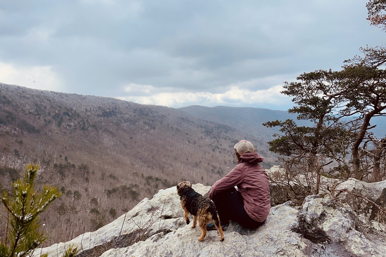
Located in eastern Alabama and western Georgia, the Pinhoti National Recreation Trail is beloved by new and experienced thru-hikers for its long hiking season, quirky trail towns, and moderate terrain.
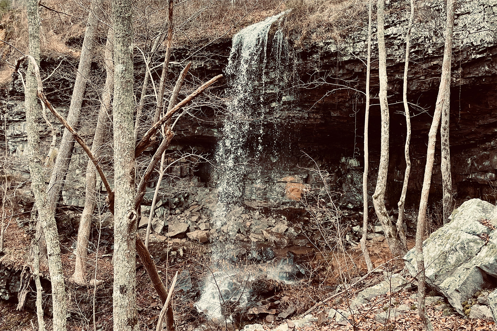
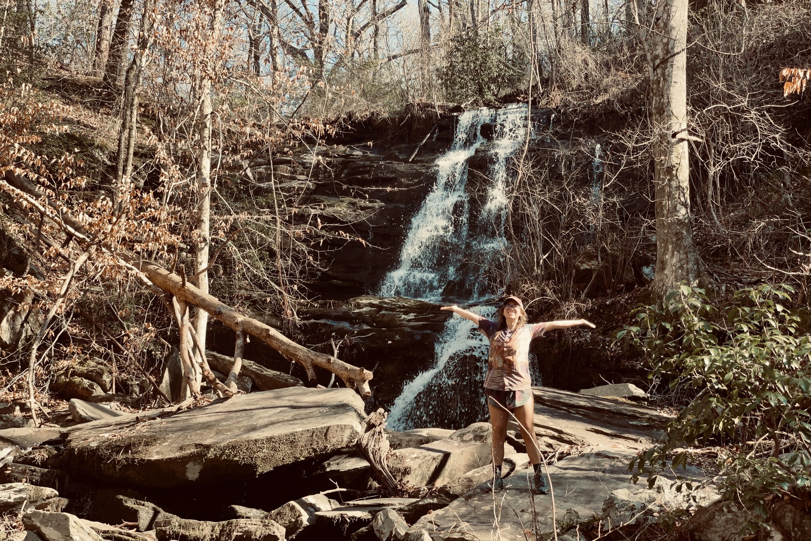
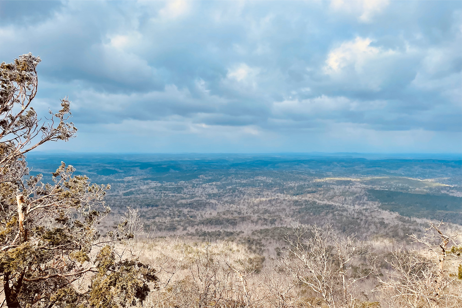
Roughly meaning “turkey home” in the Native American Creek language, hikers can expect to encounter turkeys, dogs, and even bears on the Pinhoti Trail. Cheaha State Park and the Mount Dugard Wilderness are just a couple places where hikers will be rewarded with beautiful ridgeline views. Other natural beauties include countless waterfalls along the trail.
Some thru-hikers hike this trail as part of a longer adventure, continuing onto Amicalola Falls, the Appalachian Trail, or even connecting to the Eastern Continental Trail. The Pinhoti will surely provide an enriching experience, regardless of how many nights you spend.
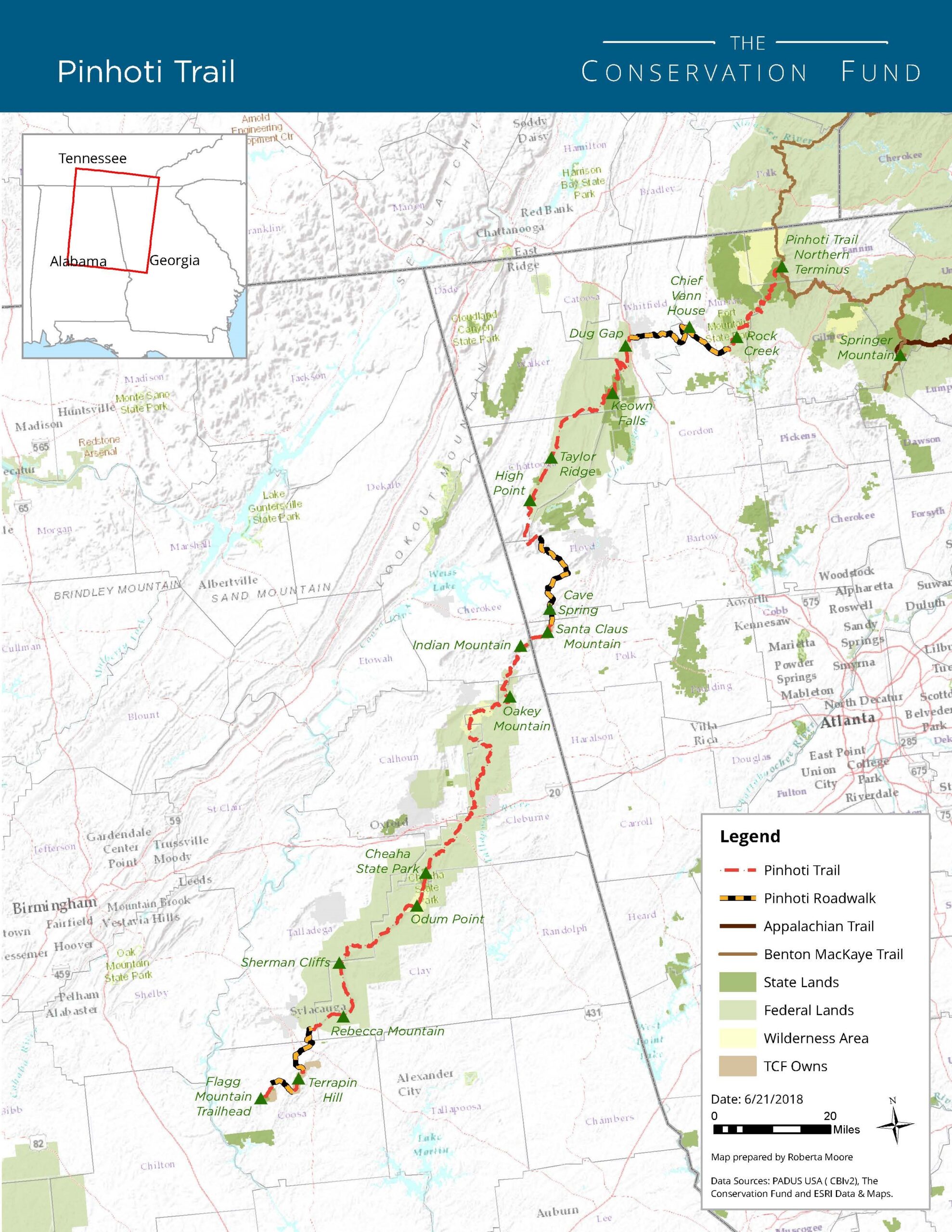
Quick Facts
- Distance: 351 miles
- Days Needed: 2 to 4 weeks
- Peak Elevation: Buddy Cove Gap (3,164 feet)
- Low Elevation: Weogufka Creek area (545 feet)
- Elevation Gain/Loss (approximate): 47,873 feet
- Best Time to Travel: Fall through spring
- Permits: None
- Difficulty: Difficult (moderate compared to other thru-hikes)
Highlights
- Well marked and maintained
- No crowds (busier near day-access waterfalls)
- Mild winter weather (great off-season option)
- Clean, well-built shelters
- Frequent resupply points and convenience stores along the route
- Termini are all within two hours of metro areas for easier access
- Cheaha Mountain, the highest point in Alabama, is an easy side trip
- Dog-friendly thru-hike
- Funky towns, lots of waterfalls, and great flora
Lowlights
- Two long road walks with limited camping
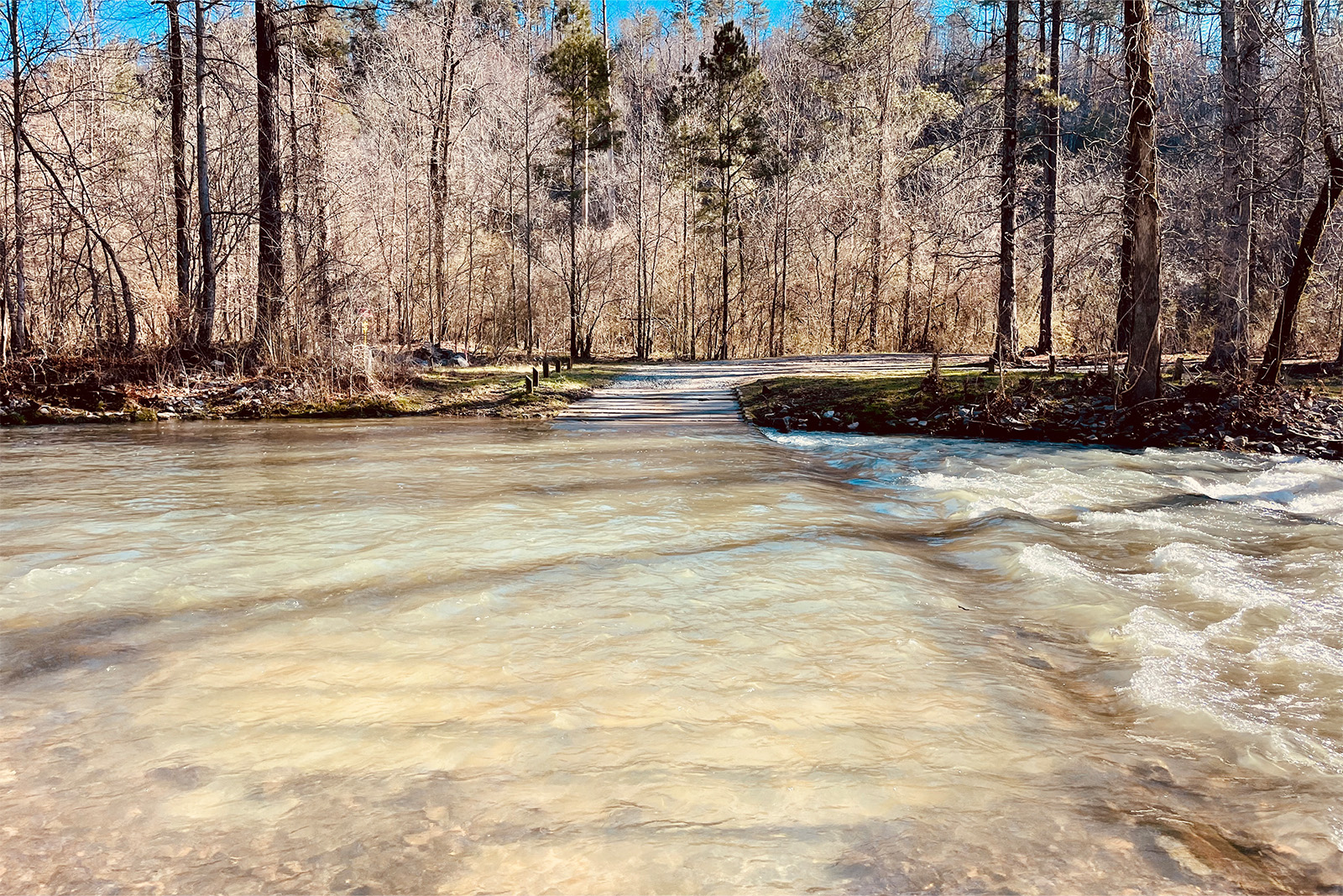
- Several water crossings are deep and quite cold in the winter (could be a swim spot highlight in another season)
- Many loose farm dogs can be intimidating for some hikers
- Several reported vehicle break-ins at trailheads
- Southern portion of the trail is surprisingly dry in the summer
When Is the Best Time to Hike the Pinhoti Trail?
Although the Pinhoti is one of the few trails that can be hiked year-round, it is best experienced from fall to spring.
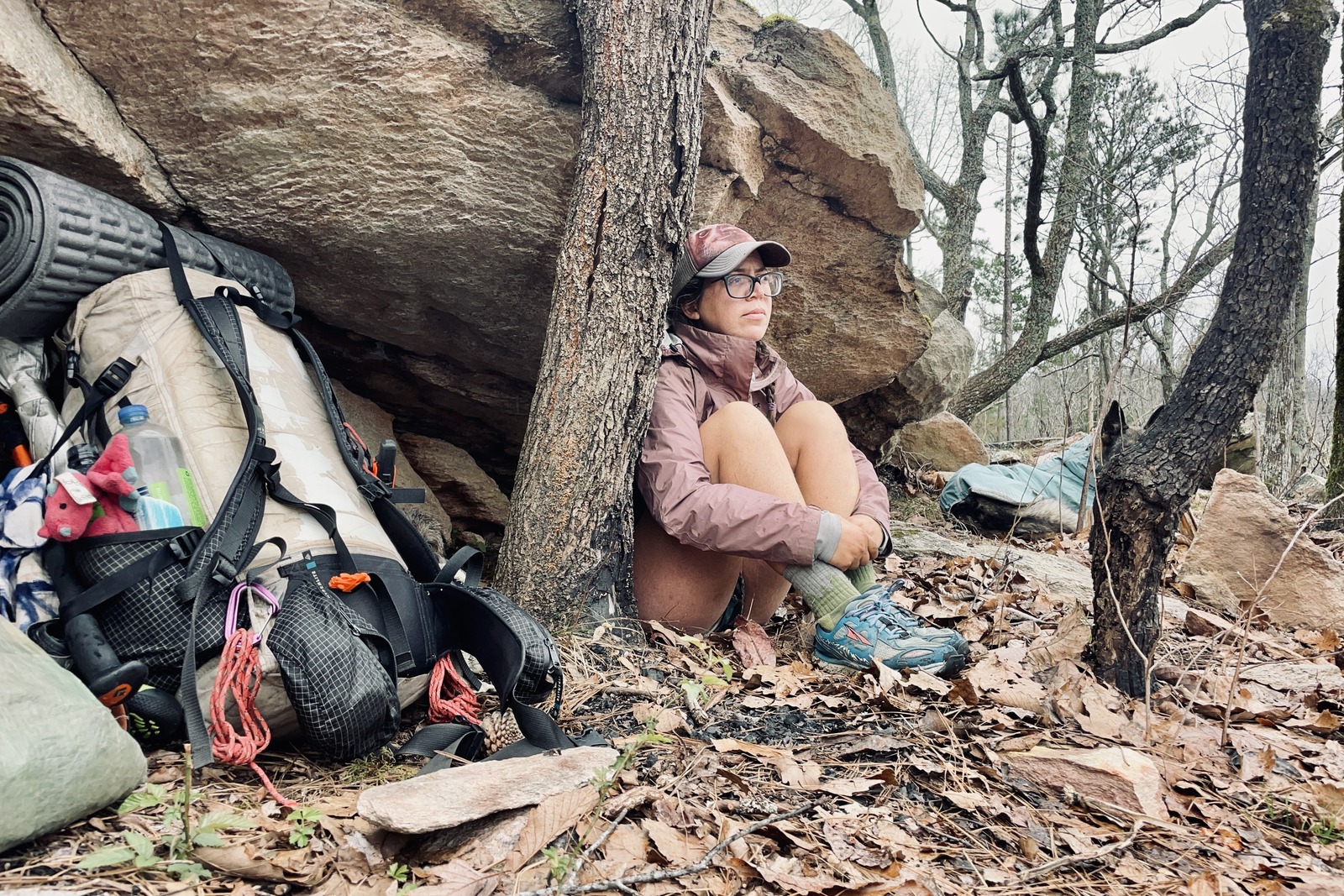
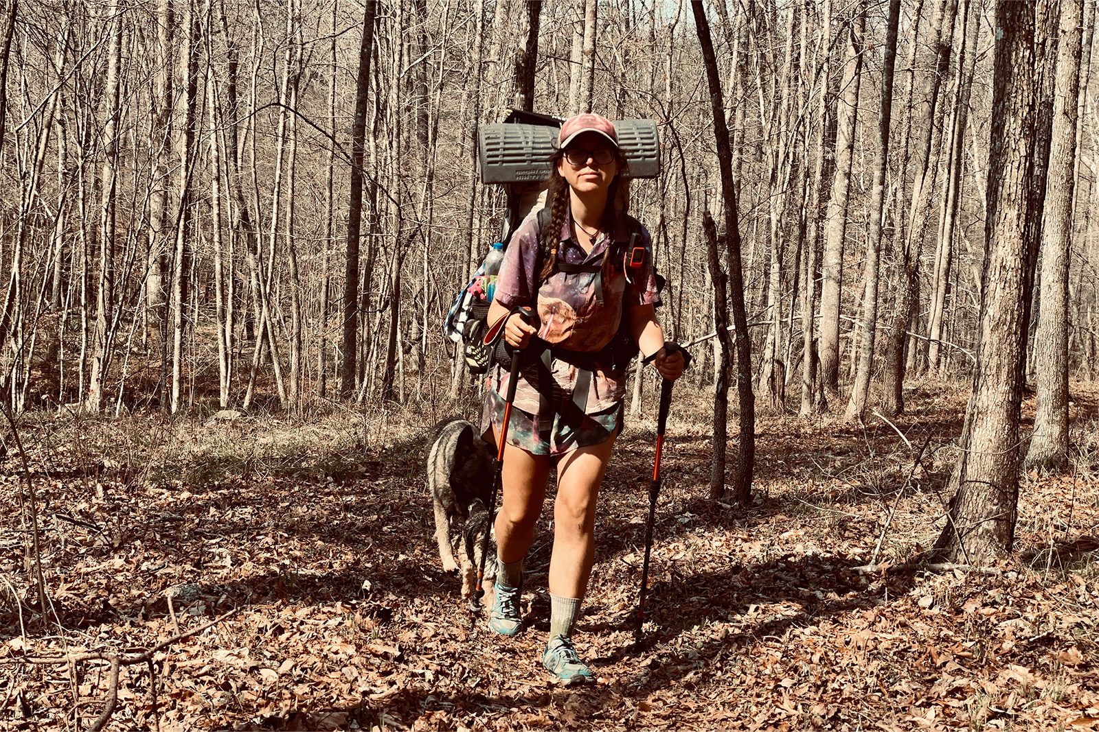
We hiked from mid-February to mid-March from north to south. The temps were cool, we had many rainy days, and it even snowed on us a few times (just a dusting, fortunately). One downside to hiking the Pinhoti in the winter is that the water crossings were unpleasant due to the cold temperatures.
Summer in the southern Appalachian Mountains can be hot and buggy, and water sources tend to be scarce. Late fall can still be dry, but temperatures are cooler, and changing foliage can make for a beautiful hike. Winters are mild, with light dustings of snow and no bugs, making this a great off-season thru-hike.
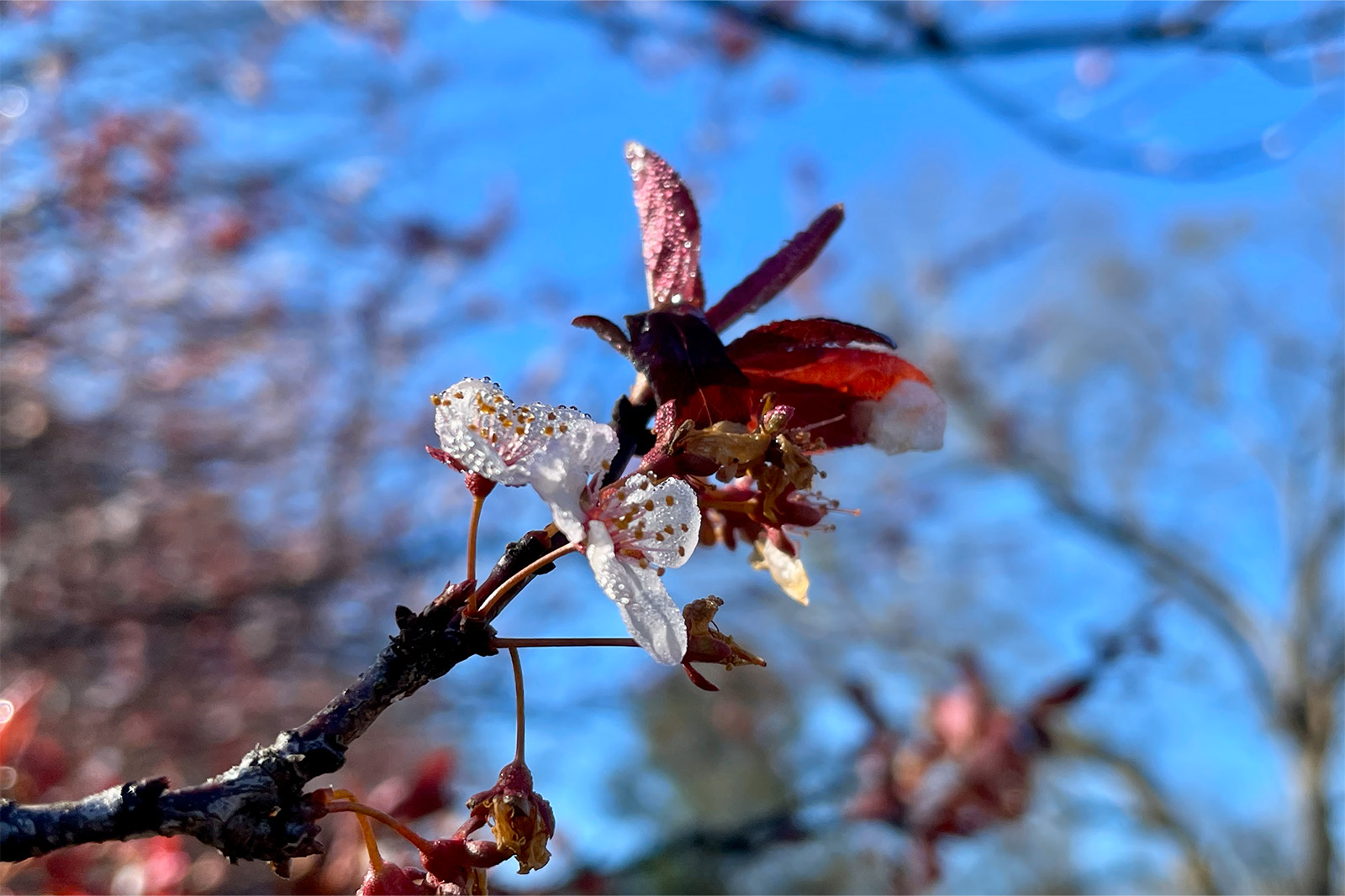
The lack of leaves on the trees also makes it easier to take in the views from the top of some of the ridges. Early spring is another great option, as the temperatures are a bit warmer than winter, and wildflowers are abundant.
Prospective hikers should beware that tornadoes are most prevalent in Alabama during spring. One of the great things about the long hiking season and southern latitudes is that the Pinhoti can easily be hiked in either direction. Hiking it NOBO (northbound) or SOBO (southbound) will not significantly alter the experience.
How Difficult Is the Pinhoti Trail?
Thanks to its well-marked and maintained footpath, the Pinhoti Trail makes a great beginner or off-season thru-hike. However, prospective hikers should keep a few things in mind:
TERRAIN
Like much of the Appalachian Mountains, the Pinhoti has sections covered with roots or rocks layered in leaves. These sections require more concentration to avoid slipping or rolling an ankle, and trekking poles may help with stability. That said, there are also many sections where the trail is made up of dirt or leaves, making for pleasant walking.
GRADIENT
The Pinhoti Trail is generally much better graded than other hikes in the Appalachian Mountains, such as the AT, Long Trail, or Benton McKaye Trail. Though there are still many ups and downs, the trail is shorter with more flat sections, and some steep sections are eased with switchbacks.
ROAD SECTIONS
One of the most challenging aspects of the Pinhoti Trail is the two long road-walking sections. The trail follows paved roads for 27 miles north of Dalton, Georgia, and about 30 miles north of Cave Springs, Georgia.
Due to private property, camping is limited along these road walks. Though the routes are blazed and officially recognized as part of the trail, many thru-hikers choose to hitch around them for physical, safety, and/or logistical reasons.
These road sections are certainly doable but require a long day of hiking. Hiking these sections southbound is slightly more appealing because the road walks terminate in towns, so your pack could be close to empty of food rations.
TRIP LENGTH
For those intending to thru-hike the Pinhoti, length is an important consideration. At 351 miles, this trail is more approachable for the average person than other thru-hikes. We only took one zero day but had lots of short days due to weather and long nights. Overall, we averaged 10 to 15 miles a day and gave ourselves a month to complete the thru-hike.
Proper planning and preparation make it possible to complete the Pinhoti Trail using PTO or stacked vacation time. Though any thru-hike requires a financial investment, physical fortitude, and plenty of logistics, it is a great introduction to long-distance backpacking or a way to scratch the itch for experienced thru-hikers. This trail can also easily be completed in sections.
How Do I Get There?
NORTHERN TERMINUS
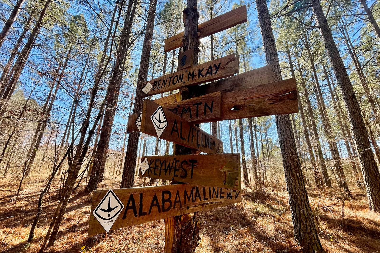
The northern terminus is one of the most remote sections of the Pinhoti Trail. It begins at the Benton MacKaye Trail near Elijay, Georgia. To get there, hike from Jacks River Field Campground or Buddy Cove Gap.
Mulberry Gap Adventure Base Camp provides shuttles and paid parking for those who need a ride to the terminus. Many thru-hikers choose to extend their trip to Amicalola Falls via the Benton MacKaye Trail.
SOUTHERN TERMINUS
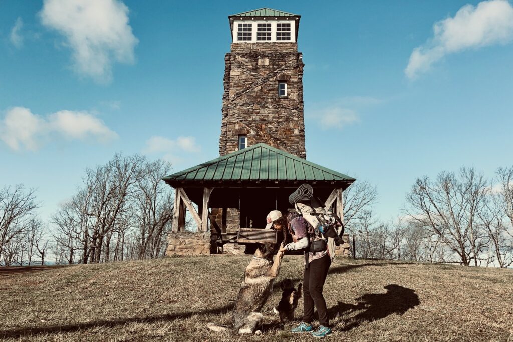
Proclaimed the southernmost peak in the Appalachian Mountains, Flagg Mountain marks the southern end of the Pinhoti Trail. A brick lookout tower perched on top of the mountain makes for a memorable landmark at the beginning or end of the trail.
For hikers from out of town, Flagg Mountain is located about an hour and a half from Birmingham, Alabama, and the closest town to the terminus is Weogufka. The Pinhoti Outdoor Center is a great resource for hikers on the trail’s southern end, and they offer shuttle rides to the terminus.
TRAILHEADS
There are various trailheads and access points along the route, especially along highways and in parks. Section hikers should be aware that multiple hikers have had their cars broken into while parked at trailheads. For longer trips, parking at the Pinhoti Outdoor Center, Mulberry Gap, or other locations where your vehicle may be monitored is a good idea.
What Should I Consider When Planning My Itinerary?
TIMING & AVERAGE DAILY MILEAGE
Being flexible can make all the difference in the enjoyment and completion of a thru-hike. That said, familiarizing yourself with resupply locations and average daily mileage is helpful.
Due to the gentler inclines and smoother trail tread, it is easier to cover more miles on the Pinhoti Trail than in the northern Appalachian mountains. Depending on fitness and pacing goals, those hiking in the late spring, summer, or early fall can cover 15 to 20 miles per day.
During the winter and early spring, hikers should be prepared to deal with poor weather conditions and long nights, which can significantly impact daily mileage. Ten to 15 miles per day tends to be a more comfortable pace for the average person at that time of year.
MAPS & RESOURCES
- CalTopo Overview Map
- FarOut Pinhoti Trail App – We found this app extremely helpful pre-trip planning and day-to-day hiking. The waypoints had up-to-date information on resupply locations, and the GPS location feature helped us plan the next day on the trail.
- Pinhoti Trail Alliance Facebook Group & Pinhoti Outdoor Center – Both are great pre-trip resources.
SHELTERS & CAMPSITES
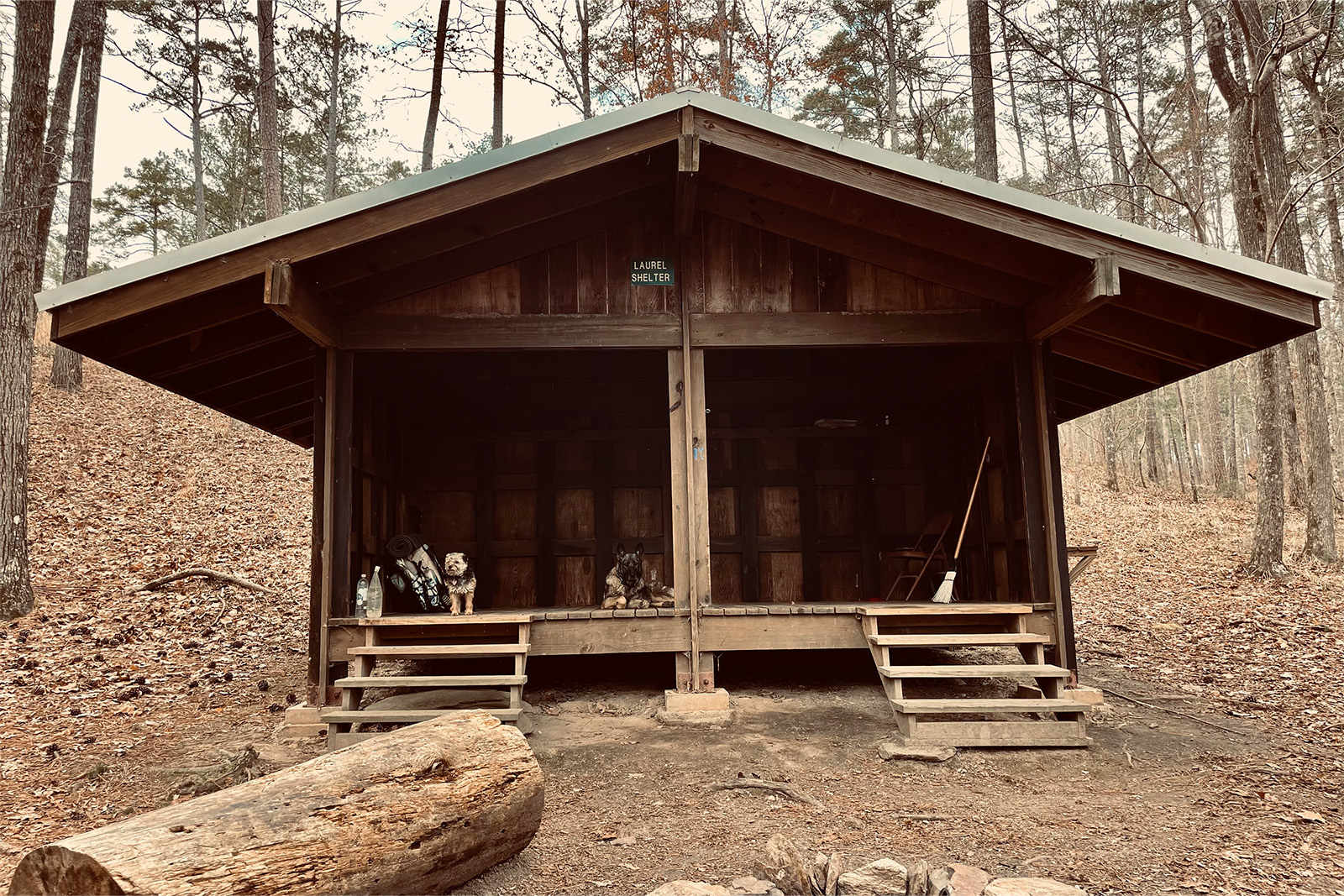
Although there are a few shelters, camping is the most reliable way to spend the night on the trail. There are nine marked shelters on the Pinhoti Trail, with the majority between I-20 and the Georgia state line. These shelters are all relatively new, clean, and well maintained. Depending on the time of year, there is a good chance you will have them all to yourself. On our thru-hike, we never saw other hikers at the shelters.
As for camping, there are many lovely spots along the trail to pitch a tent. The leaf litter that is abundant in this part of the country makes for cushy sleeping spots. Finding a flat spot to pitch a tent was not too difficult, in our experience. The biggest issue is the lack of legal camping along the Cave Springs and Dalton road walks due to private property.
Where Are the Food & Resupply Points?
Though the Pinhoti Trail traverses more rural areas of the southeast, roads and convenience stores are more frequent than in the western part of the United States. This means there are many locations to resupply or just pick up a snack during a break.
There are only a few spots where hitchhiking is necessary to reach a town, and these places can easily be avoided by carrying slightly more food and purchasing food from convenience stores. Here are the locations where we sent resupply packages or spent more time in town (from north to south):
Talladega, AL (NOBO mile ~60, SOBO mile 290)
One of two towns that will require a hitch, Talladega has a population of around 15,000 and multiple amenities to help a hiker out. Walmart, Piggly Wiggly, and multiple dollar stores offer boundless resupply options and an overwhelming array of fast food chains. Though we chose to “nero” (nearly zero mile-day) in and out of Talladega, there are many welcoming locals in town who will make your stay a great one.
Don’t Miss: Next Step Hostel
Heflin, AL (NOBO mile 113, SOBO mile 237)
This was one of our favorite stops on the Pinhoti. The town of Heflin has a great relationship with thru-hikers. Hikers are encouraged to call Heflin City Hall to arrange a ride, or you may choose to hike the 3.7-mile spur trail into town. Trail Angels in town are happy to provide rides to help with resupplying, and it is a tradition to have your photo taken next to the Heflin mural.
Though we chose to save money by camping at Cahulga Creek Park, there is a hotel in town and the 8 Acorns Hostel, which offers shuttles.
Don’t Miss: Heflin City Hall, Rhythm Cafe, Elevated Grounds, DamnYankees, Vallarta Authentic Mexican
Cave Spring, GA (NOBO mile 190, SOBO mile 160)
Small in size but located right on trail, Cave Spring is a great place to stop and recharge. Hikers can resupply at KC’s Supermarket, Dollar General, or send a package to the post office. Southern Flavor is popular among thru-hikers, as is the historic Hearn Inn.
Don’t Miss: Southern Flavor, Hearn Inn
Summerville, GA (NOBO mile 232, SOBO mile 118)
Summerville is a small but full-service town located approximately four miles from the trail by car. Due to the close proximity and access to the national forest, we had no problems turning this town stop into a nero to save some money on accommodations.
Ingles, Dollar General, and Family Dollar, in addition to the post office, provide ample resupply options. There are several locally owned and chain restaurants in town for a hot meal. We particularly appreciated Dowdy Park across the street from Ingles as a great place to hang out. The gazebo has outlets for recharging devices.
Don’t Miss: J.R. “Dick” Dowdy Park
Dalton, GA (NOBO mile 285, SOBO mile 65)
Dalton is a full-service city located right off of I-75. Because of its size, it is not as walkable or as friendly as many other stops on the Pinhoti Trail. The trade-off is that it comes with lots of resupply options.
Most hikers stay at one of the many chain hotels along I-75 to gear up for or relax after the long road walk north of town. There are many chain fast food restaurants and a Kroger grocery store less than a mile from the interstate. Other amenities exist but are farther from the Pinhoti.
Mulberry Gap, GA (NOBO mile 330, SOBO mile 20)
Those just hiking the Pinhoti may not need to stop at Mulberry Gap. However, for hikers who plan to extend their hike on the Benton MacKaye Trail, this is a wonderful stop.
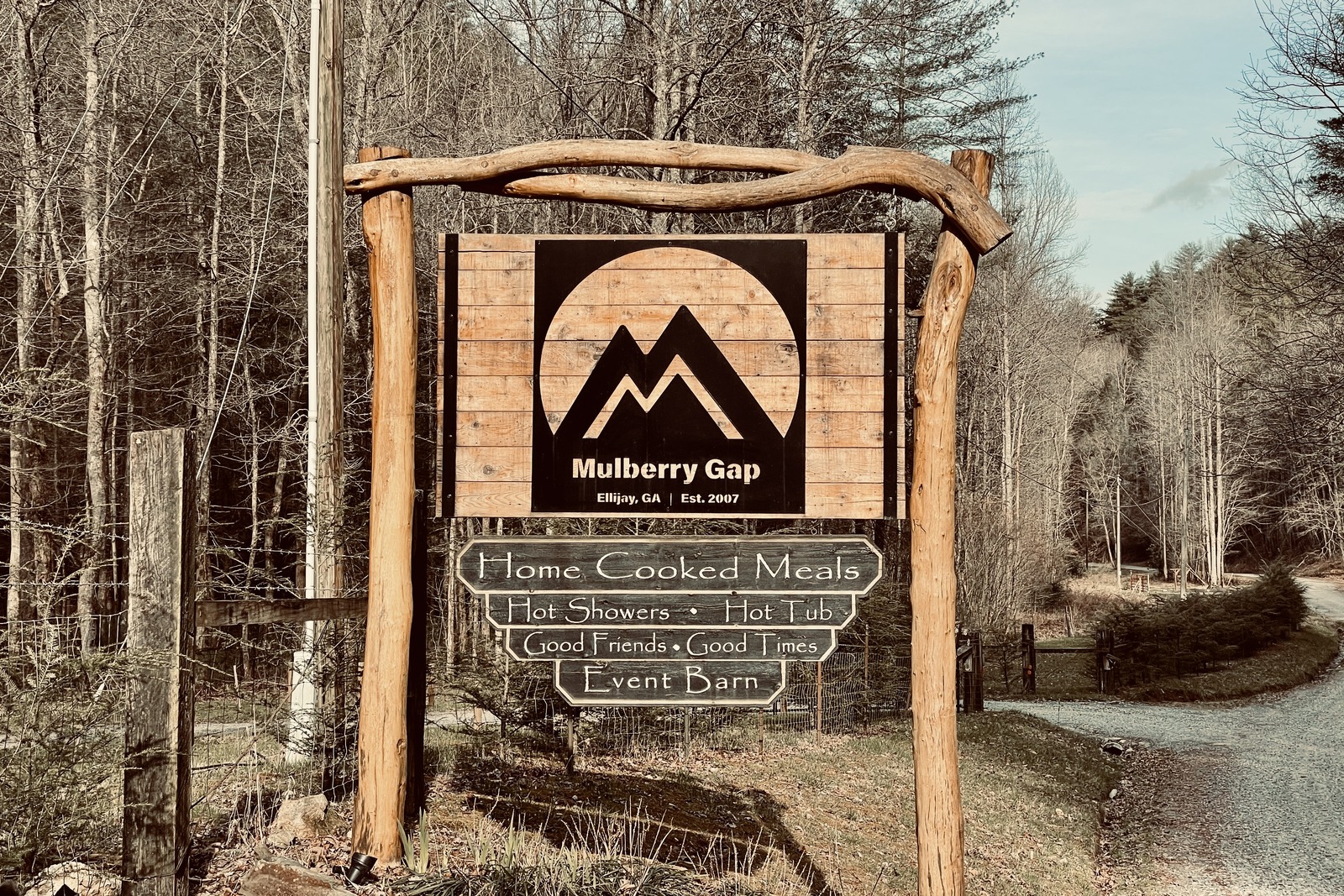
Mulberry Gap offers camping, cabins, home-cooked meals, shuttles, and package holding. We found the folks here to be extremely welcoming and kind – in addition to offering overnight parking.
Don’t Miss: Mulberry Gap Adventure Base Camp
Other Food & Resupply Locations
We also picked up snacks at the Dollar General at mile 21, Cheaha State Park, Citgo at mile 207, and the convenience stores along the Dalton road walk. There is now a Dollar General at Ramhurst, Pinhoti Trail NOBO mile 307.
These locations can be used in a pinch to resupply food or at least minimize how much food needs to be carried when leaving a larger town. Cheaha State Park is expensive but a nice treat between all of the climbing.
What Are the Biggest Safety Concerns?
DOGS
One common complaint about the Pinhoti Trail is the number of loose dogs encountered during road walks. Many hikers have been barked at, or even bitten, by dogs who are guarding their property.
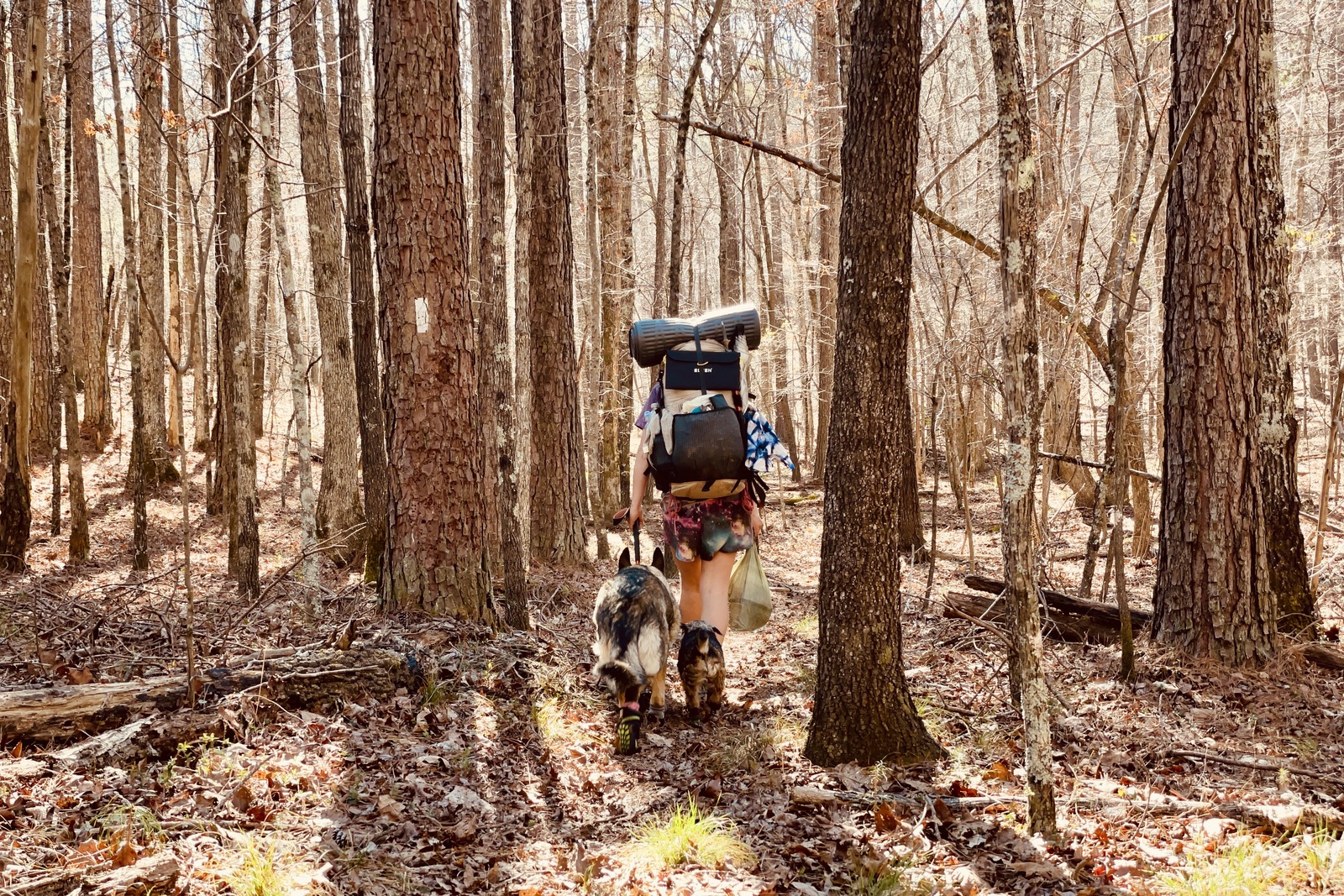
In our experience, understanding dog behavior goes a long way toward preventing a negative interaction. We are not experts on animal behavior, but we used the following strategies to successfully pass numerous loose dogs while hiking with our own pups:
- We continually reminded ourselves that most dogs are just guarding their property; they are not aggressive in the way most animal behaviorists would define the word.
- We gave them as much space as possible to avoid confrontation.
- When approached by a dog, we stopped and faced them straight while standing tall.
- If they continued to approach us, we tapped our trekking poles on the ground and used a strong voice to tell them to go away.
- We waited for them to stop and/or turn around before we continued on.
VEHICLE BREAK-INS
We’ve heard of hikers who have returned to their cars only to find they’ve been ransacked. For that reason, we suggest you leave your rig in a monitored spot like the Pinhoti Outdoor Center or Mulberry Gap.
What Gear Should I Pack?
Make sure to check out our Ultimate Backpacking Checklist, so you don’t forget something important.
Below you’ll find our current favorite backpacking gear. If you want to see additional options, our curated gear guides are the result of many years of extensive research and hands-on testing by our team of outdoor experts.
BACKPACK
- Best Backpacking Pack Overall: Gregory Paragon 58 – Men’s / Gregory Maven 58 – Women’s
- Best Ultralight Backpacking Backpack: Hyperlite Mountain Gear Unbound 40
- More: Check out our best backpacking backpacks guide for ultralight and trekking options
TENT
- Best Backpacking Tent Overall: Big Agnes Copper Spur HV UL2
- Best Ultralight Tent: Zpacks Duplex
- Best Budget Tent: REI Half Dome 2
- Best Tent Stakes Overall: All One Tech Aluminum Stakes
- More: Check out our best backpacking tents guide for more options
SLEEPING BAG/QUILT
- Best Sleeping Bag Overall: Men’s Feathered Friends Swallow YF 20 / Women’s Feathered Friends Egret YF 20
- Best Quilt Overall: Enlightened Equipment Revelation 20
- More: Check out our best backpacking sleeping bags guide and best backpacking quilts guide for more options
SLEEPING PAD
- Best Sleeping Pad Overall: NEMO Tensor All-Season
- Best Foam Sleeping Pad: NEMO Switchback
- More: Check out our best backpacking sleeping pads guide for ultralight and trekking options
CAMP KITCHEN
- Best Backpacking Stove Overall: MSR PocketRocket 2
- Best Backpacking Cookware Overall: TOAKS Titanium 750ml
- Best Backpacking Coffee Overall: Starbucks VIA
- More: Check out our best backpacking stoves guide and best backpacking cookware guide for ultralight and large group options
WATER & FILTRATION
- Best Water Filter Overall: Sawyer Squeeze
- Best Hydration Bladder Overall: Gregory 3D Hydro
- Best Backpacking Water Bottles: Smartwater Bottles
- More: Check out our best backpacking water filters guide and best backpacking water bottles guide for ultralight and large group options
CLOTHING
- Best Hiking Pants Overall: Men’s Outdoor Research Ferrosi / Women’s The North Face Aphrodite 2.0
- Best Hiking Shorts Overall: Men’s Patagonia Quandary / Women’s Outdoor Research Ferrosi
- Best Women’s Hiking Leggings: Fjallraven Abisko Trekking Tights HD
- Best Rain Jacket Overall: Men’s Patagonia Torrentshell 3L / Women’s Patagonia Torrentshell 3L
- Best Rain Pants: Men’s Patagonia Torrentshell 3L / Women’s Patagonia Torrentshell 3L
- Best Down Jacket Overall: Men’s Patagonia Down Sweater Hoodie / Women’s Patagonia Down Sweater Hoodie
- Best Fleece Jacket Overall: Men’s Patagonia Better Sweater / Women’s Patagonia Better Sweater
- Best Sunshirt Overall: Men’s Outdoor Research Echo / Women’s Outdoor Research Echo
- Best Socks Overall: Men’s Darn Tough Light Hiker Micro Crew / Women’s Darn Tough Light Hiker Micro Crew
- Beste Ultralight Liner Glove: Patagonia Capilene Midweight Liner
- More: Check out our best backpacking apparel lists for more options
FOOTWEAR & TRACTION
- Best Hiking Shoes Overall: Men’s HOKA Speedgoat 6 / Women’s HOKA Speedgoat 6
- Best Hiking Boots Overall: Men’s Salomon X Ultra 5 GTX / Women’s Lowa Renegade Evo GTX
- Best Hiking Sandals Overall: Men’s Chaco Z/1 Classic / Women’s Chaco Z/1 Classic
- Best Camp Shoes Overall: Crocs Classic Clogs
- Best Traction Device for Hiking Overall: Kahtoola MICROspikes
- More: Check out our best backpacking footwear lists for more options
NAVIGATION
- Best GPS Watch Overall: Garmin Instinct 2 Solar
- Best Personal Locator Beacon (PLB): Garmin inReach Mini 2
- More: Check out our article How to Use Your Phone as a GPS Device for Backpacking & Hiking to learn more
FOOD
FIRST-AID & TOOLS
- Best First-Aid Kit Overall: Adventure Medical Kits Ultralight/Watertight .7
- Best Pocket Knife Overall: Kershaw Leek
- Best Multitool Overall: Leatherman Wave+
- Best Headlamp Overall: Black Diamond Spot 400-R
- Best Power Bank Overall: Nitecore NB 10000 Gen 3
- More: Check out our best first-aid kit guide, best pocket knife guide, best multitool guide, best backpacking headlamps guide, and best power banks guide for more options
MISCELLANEOUS
- Best Trekking Poles Overall: Black Diamond Pursuit
- Best Backpacking Chair Overall: REI Flexlite Air
- Best Backpacking Stuff Sack Overall: Hyperlite Mountain Gear Drawstring
- More: Check out our best trekking poles guide, best backpacking chairs guide, and best stuff sacks guide for more options