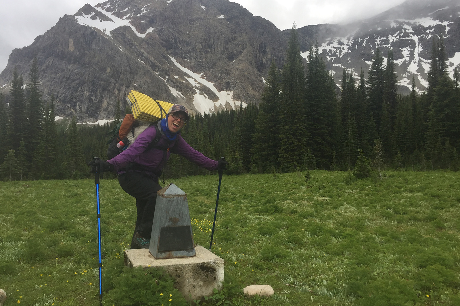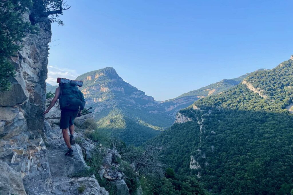
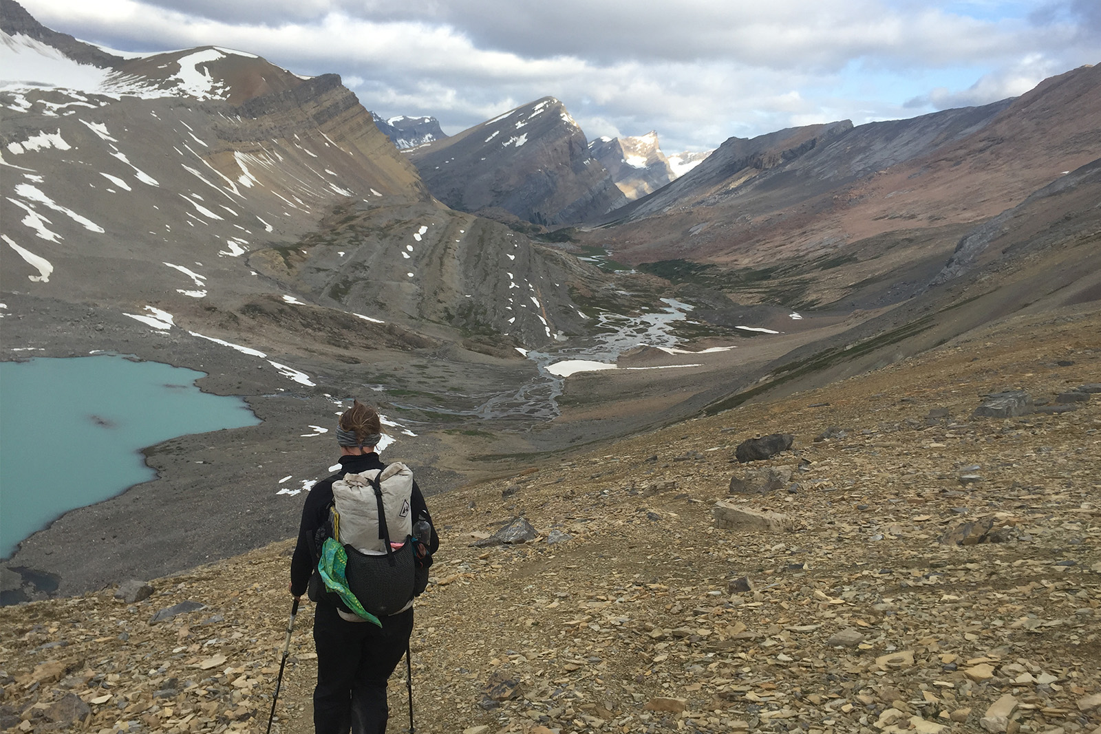
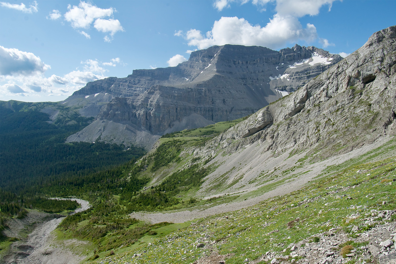
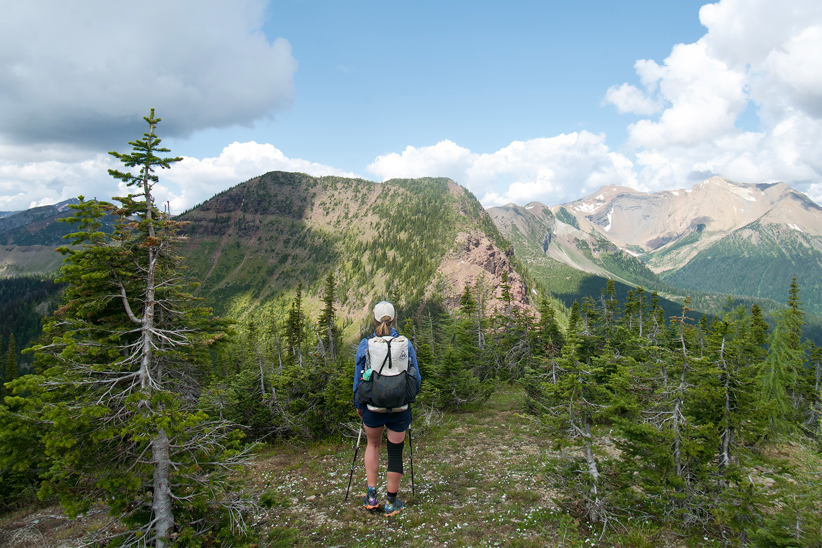
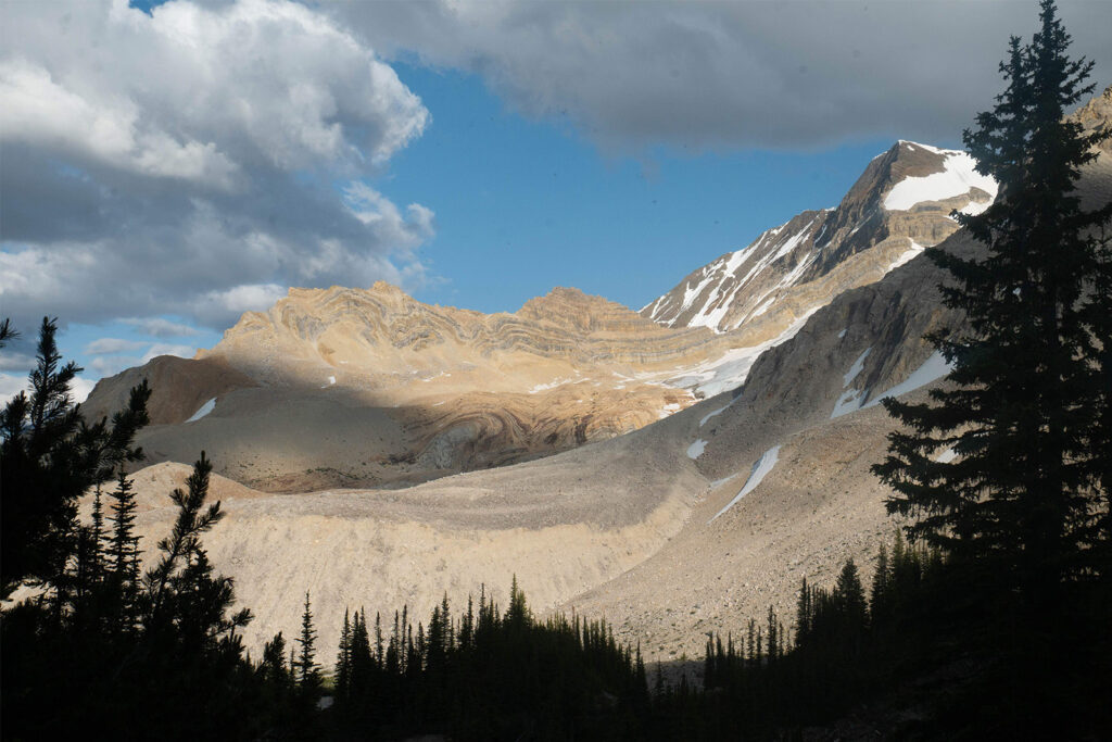
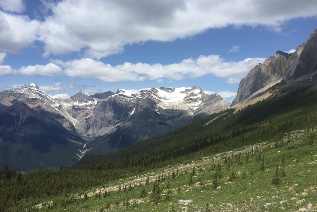
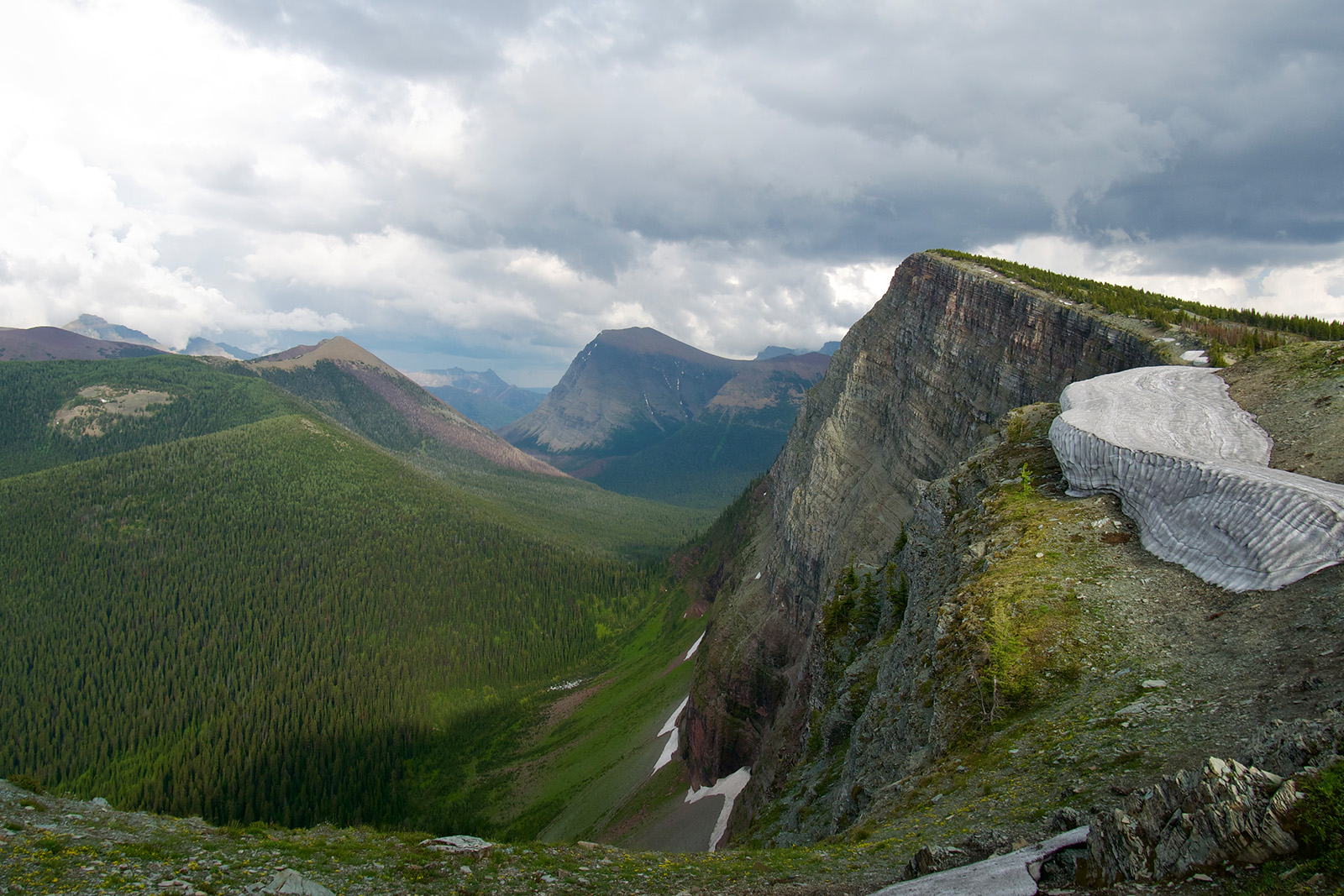
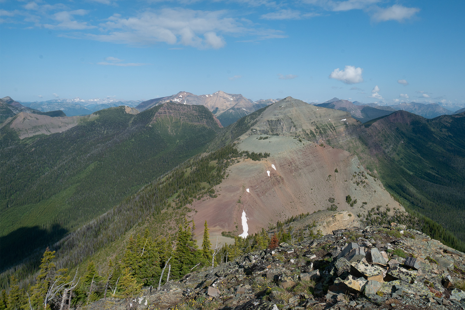
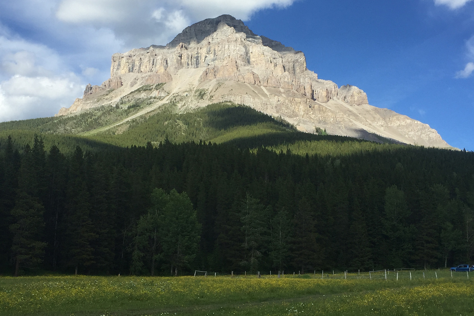
If you are up for the tricky logistics of this thru-hike, there are spectacular views around almost every corner of the Great Divide Trail. This corridor has come a long way in recent years, with trail conditions improving each hiking season, but it is still much rougher to hike than many of the mainstream long trails in the US. Fortunately, there are plenty of resources for prospective hikers to help make this trip the adventure of a lifetime.
Quick Facts
- Distance: 700 miles (1,123 km)
- Days Needed: 36 – 68 days
- Peak Elevation: 8,497 feet (2,590 m) at an unnamed pass above Michele Lakes
- Low Elevation: 3,461 feet (1,055 m) Old Fort Point trailhead near Jasper
- Permits: Yes
- Difficulty: Difficult
Highlights
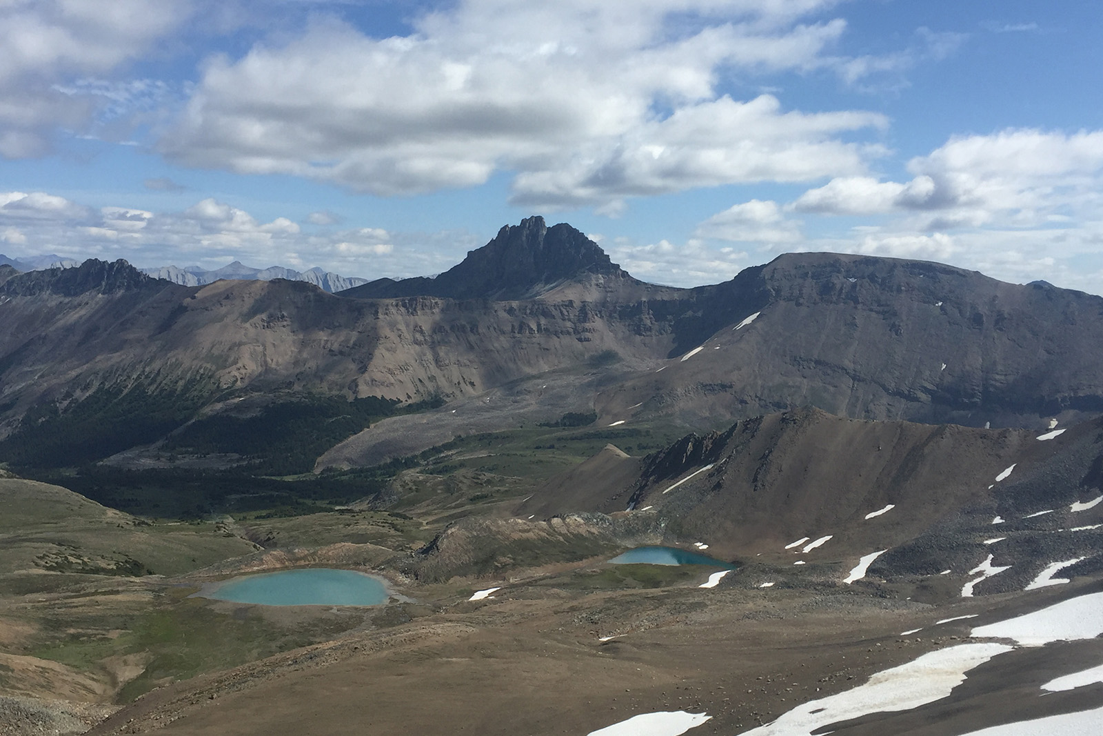
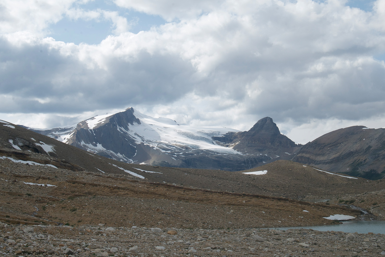
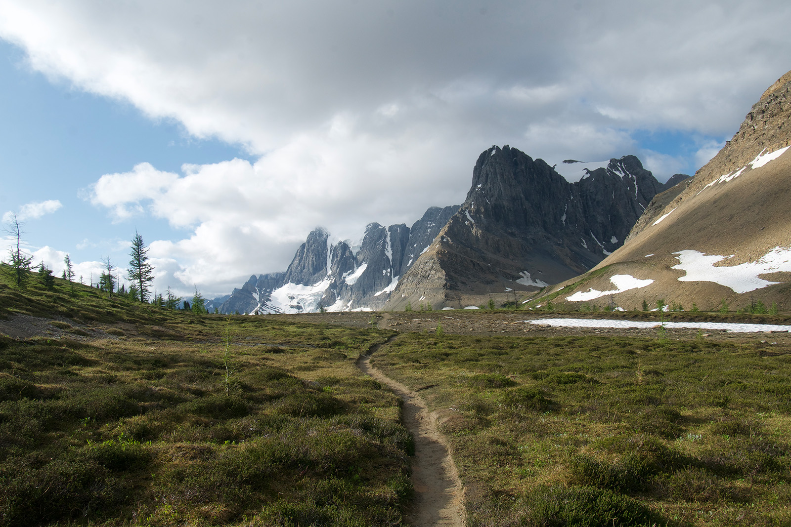
- Jaw-dropping views throughout the hike
- Abundant wildlife
- Diverse communities and hikers on the trail
Lowlights
- Permits require a lot of pre-planning and limit spontaneity on the trail
- Mosquitoes
- Difficult and sometimes dangerous glacial river fords
- Long food carry to Kakwa Lake
Best Time to Hike
Due to its northern latitude and mountainous terrain, the best time to hike the Great Divide Trail is July to September if you want to minimize the snow you encounter on the trail. Starting before July, you risk running into snowpack from the previous winter. The chance of fresh snow falling increases throughout the month of September. By October, higher snow totals are likely. Though snowstorms tend to just leave dustings during the summer months, be aware that it can snow any day of the year in the Canadian Rockies.
Difficulty of Trail
The fantastic views found along this route come with additional pre-trip planning. You must “earn those turns,” so to speak, on the Great Divide Trail. Compared to better-established thru-hikes, such as the Appalachian or Pacific Crest Trails, the GDT is a more difficult and technical hiking experience. Having hiked both well-blazed trails and unmarked routes, we would classify it as somewhere in between for the following reasons.
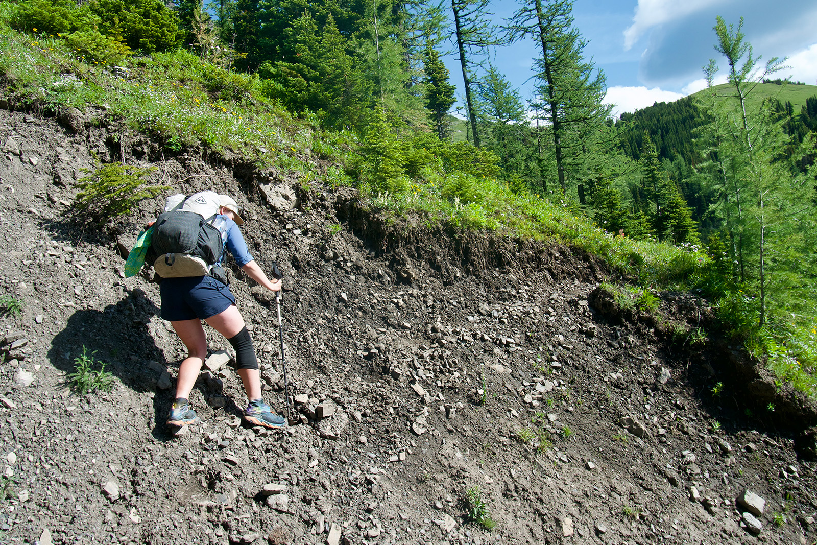
ROUTE FINDING & TRAIL QUALITY
Though the GDT is an official trail with an associated non-profit and blazes, there are still many sections that are in rough condition. There is no trail in some places, though the navigation tends to be easy due to hiking above treeline, scrambling along rock fields, or following river valleys. Compared to better-established long-distance trails, hikers should feel more comfortable making navigational choices and dealing with blowdowns.
That said, the GDT has come a long way in recent years due to the hard work of the Great Divide Trail Association. Many sections that were once completely off-trail now have trail tread or flagging to help hikers along. The FarOut GDT hiking app has also helped to make this trail more easily accessible to hikers of varying abilities.
GLACIAL RIVER FORDS
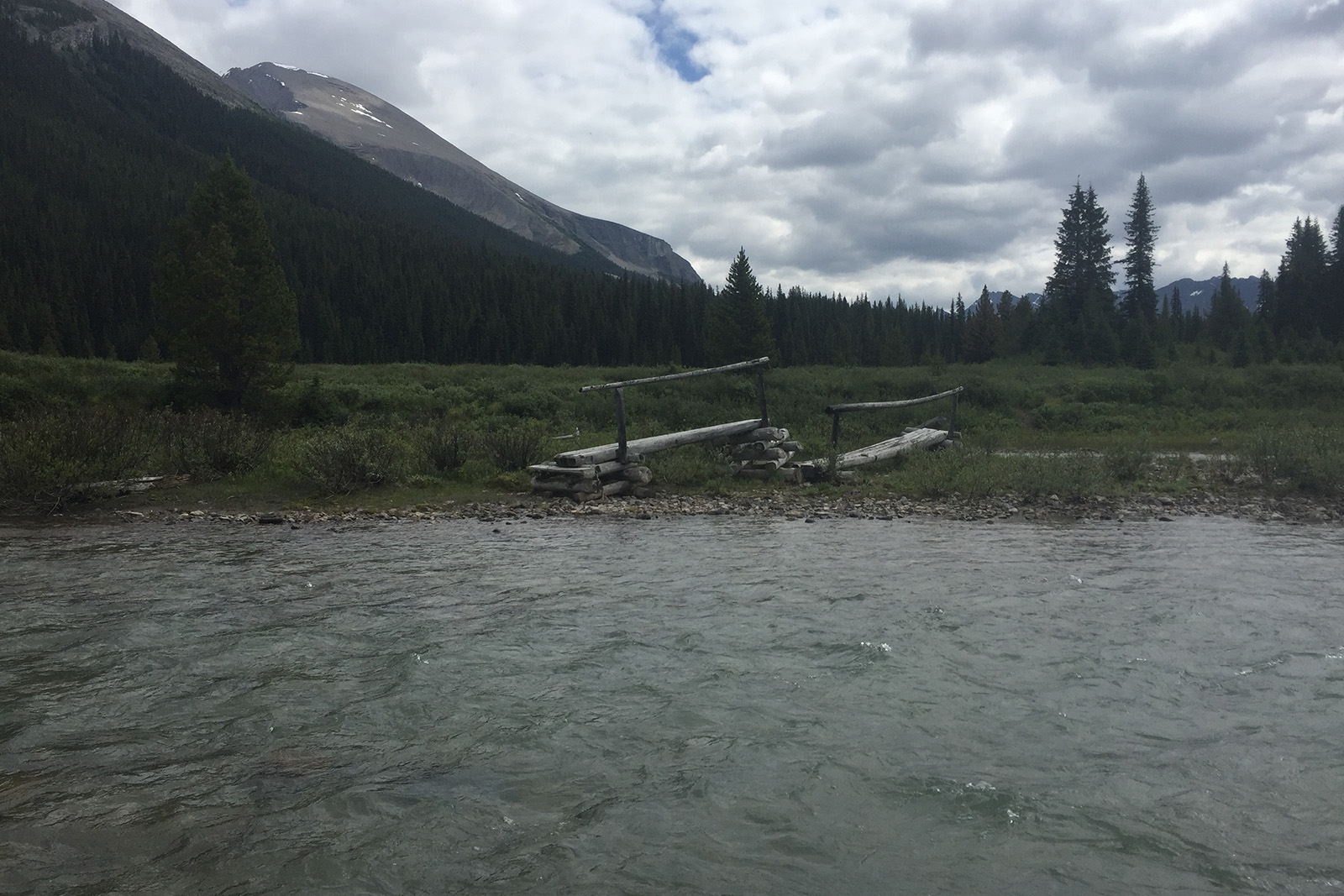
The Great Divide Trail crosses many creeks and rivers that run fast in the summer due to both seasonal snow and glacier melt. There are bridges over many of the creeks in the popular parts of the national parks, but less-trafficked areas may be more challenging.
For example, the Howse River flood plain in section D includes several crossings without bridges. It’s best to avoid crossing during the warmest part of the day when the water is running the fastest. Hikers should research safe crossing methods, be prepared to delay their crossing, or turn around if needed to avoid an accident.
Permits
One of the biggest hurdles when planning a GDT thru hike is the permit process for the Canadian National Parks. The trail passes through five National Parks and eight provincial parks. Though not all parks require permits, there are many places where no amount of long days and strategic planning will get around the permit process.
The trickiest places to get permits include Banff and Jasper National Parks as well as Mount Assiniboine and Mount Robson Provincial Parks. Permits are also required for backcountry camping in Kootenay, Yoho, and Waterton National Parks, as well as Peter Lougheed Provincial Parks, though it is easier to avoid camping in those areas with some planning.
Backcountry reservations for the national parks open at the end of January. Reservations can be quite competitive, so we recommend creating an itinerary ahead of time with backup plans in case a campsite is already booked. It is important for all thru and section hikers to book permits where required and stick to their reservations to help maintain a positive relationship with Parks Canada.
There are three provincial parks on the GDT that require overnight camping permits. Mount Assiniboine, Peter Lougheed, and Mount Robson all have different reservation dates and fees.
An Alberta Public Lands Camping Permit is the only other pass needed to camp in a few areas of sections B, E, and G. The Great Divide Trail Association has up-to-date information on backcountry permits.
Weather
Summer in the Canadian Rockies tends to be much wetter than further south, though it depends on the year. Snow is possible during the summer, as are fires. Hikers should pack appropriate layers, check the weather, and follow closure warnings when needed.
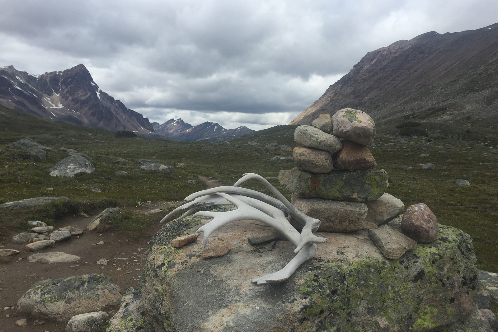
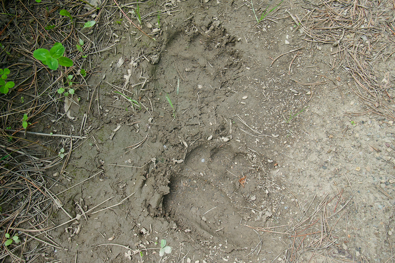
Wildlife
The GDT corridor is home to an abundance of wildlife, including both black and grizzly bears. Anyone spending time on this trail should be bear aware by storing food properly, making noise while hiking, and carrying bear spray. Other animals, big and small, also frequent the corridor, including moose and mosquitoes.
Getting There
Both NOBO and SOBO GDT thru-hikes are possible, but northbound tends to be the best choice for most thru-hikers. A NOBO thru-hike allows hikers to start slightly earlier in the season and provides time for hikers to gain their trail legs before dealing with the more remote and higher-consequence parts of the trail. The main advantage of a SOBO hike is that it may be easier to arrange a shuttle along Walker Creek Road to the Kakwa Lake terminus with a fixed start date.
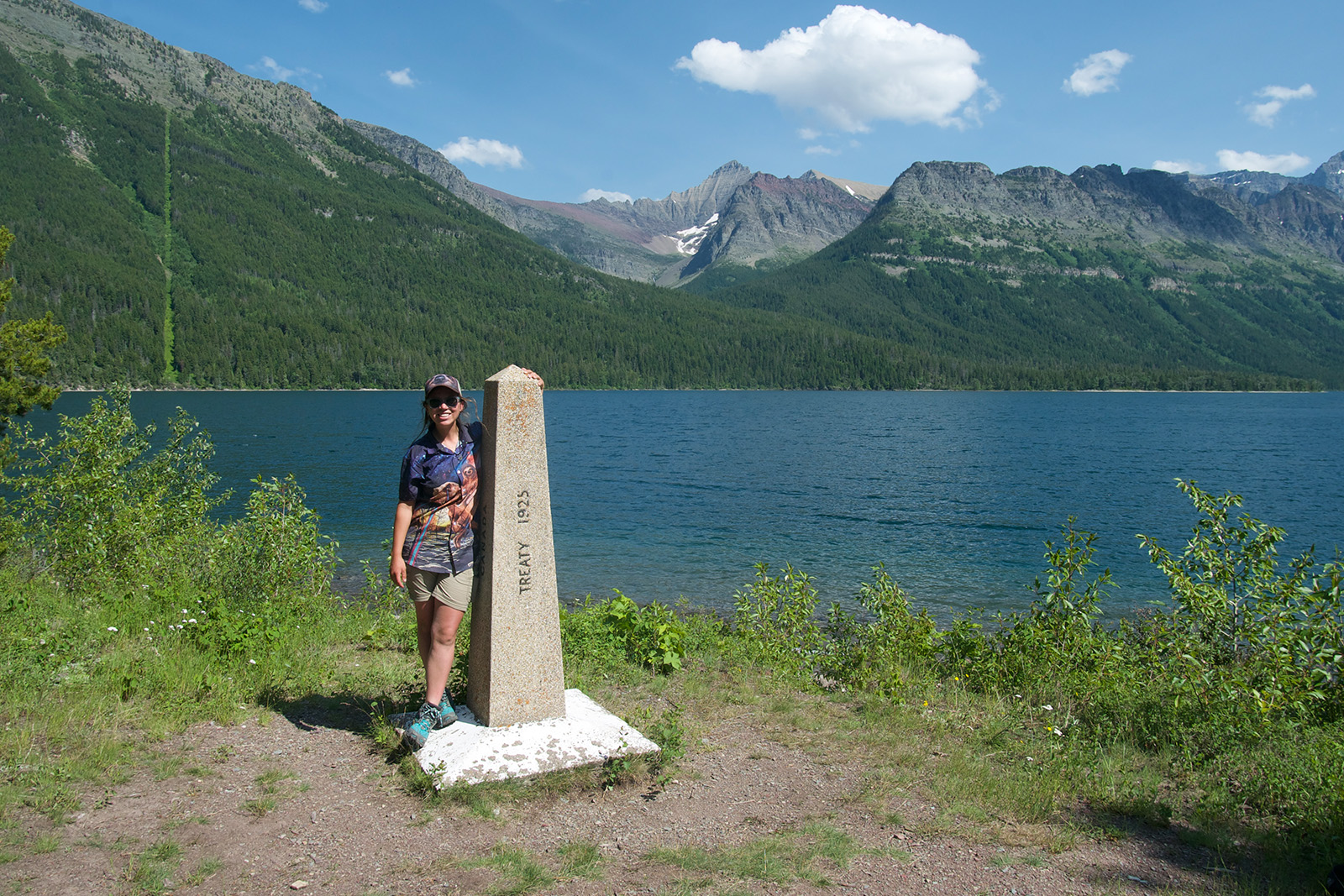
SOUTHERN TERMINUS
Located at the US-Canadian border where Glacier National Park transitions into Waterton National Park, there are several ways to reach the southern terminus. For those who strictly want to hike the GDT only, the terminus can be reached by an out-and-back hike from the Waterton townsite to the border on the boundary lake trail. Some hikers also opt to take a ferry from the Waterton marina to the Goat Haunt ranger station in Glacier National Park. Both routes are approximately the same distance, around 7-8 miles round trip (12-13 km).
Those starting or ending at the Waterton townsite have a few travel options. The main option is to fly into Calgary, AB, and take a shuttle. Another option is to take a train to East Glacier, Montana, and book a shuttle to Waterton from there.
Some hikers choose to add a longer approach or extension to their hike by hiking the Continental Divide Trail through Glacier National Park. This may simplify the shuttle aspect by allowing hikers to take advantage of the Amtrak train station in East Glacier.
NORTHERN TERMINUS
There are two official northern termini for the Great Divide Trail: Mount Robson and Kakwa Lake. Mount Robson is located north of Jasper, AB, and is the tallest point in the Canadian Rockies. The terminus is in the provincial park sharing its name. Hikers ending here must add an additional 17 miles (27 km) to the Mount Robson visitor center on Highway 16. Public transportation is not available here, so hikers need to be prepared to arrange a shuttle or hitchhike.
Kakwa Lake is the northernmost terminus, but its remote location can make it logistically difficult to reach. Hikers who finish here should expect to walk for at least another day or two to reach the nearest road, possibly longer if a ride with 4×4 capabilities is not arranged ahead of time. Most people use the western access point, Walker Creek Service Road. It is 17 miles (28 km) to the 4×4 trailhead and another 46 miles (75 km) to pavement. From there, hikers must hitch or arrange a shuttle ride to Prince George, BC. The other option is to hike 20 miles (32 km) via Deadhorse Meadows to the nearest 4×4 trailhead. From there, hikers may try to get rides at several trailheads further down the road to Grande Prairie, AB.
Planning Your Itinerary
Fortunately for those interested in thru-hiking the GDT, there are many planning resources. The Great Divide Trail Association has a wealth of information available on their website, including permit information and sample itineraries. Hiking Canada’s Great Divide Trail by Dustin Lynx is currently the main guidebook available and also pairs with the paper topo map set, also created by Dustin Lynx, which is a free resource.
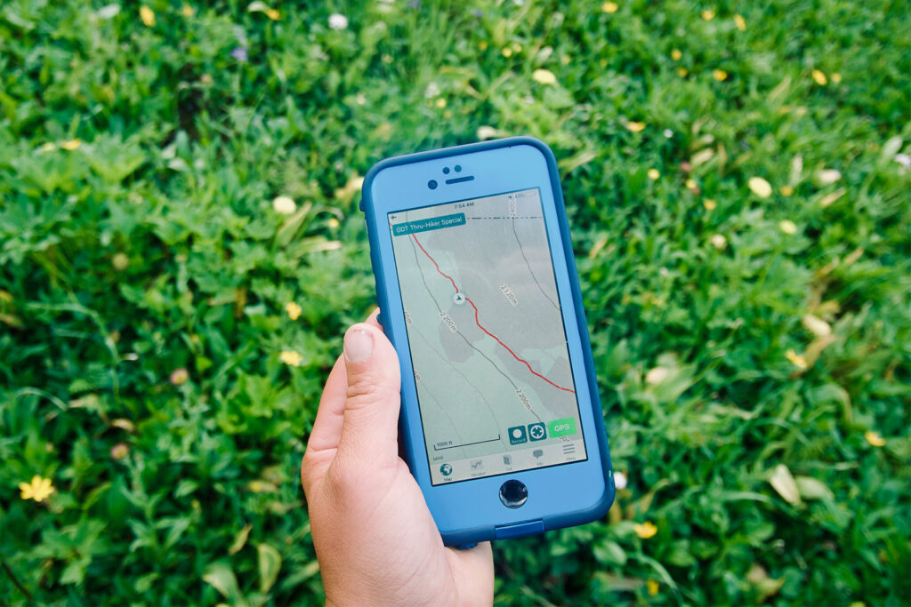
More detailed, waterproof maps are also available through GoTrekkers. The release of the FarOut GDT app in 2017 was a game changer for this trail and makes a great resource for planning and day-to-day navigation. The GDTA also manages a Facebook group called Great Divide Trail Hikers, and is a great place to get questions answered.
ALTERNATE ROUTES
There are various alternative routes along the GDT. Some offer easier walking, many provide a scenic, but tougher route compared to the official trail. Many of the alternates are shown on the FarOut app as well as on the Guidebook Topo Map set created by Dustin Lynx.
Some of the more popular alternate routes include Barnaby Ridge in section A, Northover Ridge in section C, Kiwetinok alternate in section D, and Surprise Pass in section F. It is a good idea to research the routes beforehand and have a good grasp of off trail travel. Barnaby Ridge, in particular, can be a bit technical, dropping off from La Coulette Peak.
Where to Resupply
The variety of trail towns and resupply locations is vast on the GDT, ranging from the bustling tourist trap of Banff townsite to the more remote Peter Lougheed visitor center. Below are some of the common locations to resupply, though it is by no means an exhaustive list. The Great Divide Trail Association offers additional resources.
WATERTON TOWNSITE, AB (NOBO MILE 4 [KM 6.4])
Waterton has a surprising number of amenities given its remote location. It is possible to resupply at the grocery store, and there are various lodges for overnight stays. We booked a hiker campsite at the Parks Canada campground to save money and used it to go to the movie theater instead. There are plenty of restaurants, as Waterton is a tourist stop close to the US border. Don’t forget to stop at the visitor center to call customs and declare your visit if you hiked into the park from Glacier National Park.
Don’t Miss: Waterton Lakes Opera House, Big Scoop Ice Cream Parlor, Waterton Visitor Information Center
COLEMAN & BLAIREMORE, AB (NOBO MILE 91 [KM 145])
The towns of Coleman and Blairmore are only a few miles apart on Highway 3. The official GDT goes right through Coleman, but as the main grocery store is in Blairmore, most hikers will visit both. There are a few hotels and restaurants in both towns, and many locals are willing to provide rides. Hikers who know they will be spending all of their time in Blairmore may choose to hike the Blairmore Access alternate route into town.
Don’t Miss: Sobeys IGA, Crowsnest Pantry, Pass Beer
ELK PASS TRAILHEAD IN PETER LOUGHEED PROVINCIAL PARK & BOULTON CREEK TRADING POST, AB (NOBO MILE 210 [KM 338])
To break up the long stretch between Coleman and Banff, it is a good idea to send a resupply package to Peter Lougheed Provincial Park. Though the visitor’s center and Boulton Creek Trading Post no longer accept packages, it is possible to mail them for delivery to a special cache box at the Elk Pass Trailhead. Delivery must be booked through a special email, and the cost to do so is listed on the GDTA website. GDTA members receive a discount on delivery.
Those who do not want to send a package may attempt to resupply at the Boulton Creek Trading Post. Just know that the food is both expensive and limited due to the remote location. It is also primarily geared towards car campers.
Don’t Miss: Boulton Creek Trading Post
SUNSHINE VILLAGE & BANFF, AB (NOBO MILES 270 [KM 435])
The main access point for Banff is from Sunshine Village ski area. Hikers may choose to walk up and down the hill, ride the gondola, or a mix of both. The gondola is a bit pricey, so our recommendation is to walk downhill with your empty pack, then pay for the ride to the top when you are loaded down with food. From the bottom of the ski area, there is a bus that shuttles tourists into Banff townsite.
The town of Banff itself is both a blessing and a curse for thru hikers. There are many stores with gear, food, and most other items a hiker could need. However, there is a tourist markup on prices, and the streets are extremely busy during the summer with tourists from all over the world. While there is a hostel in town, it may be worth booking a campsite reservation in advance when buying backcountry permits or paying to take the bus into Canmore, just down the road.
Don’t Miss: historic Parks Canada administration building, Banff Center, Fairmont Banff Springs (just walk by and check it out), Bow Falls
FIELD & GOLDEN, BC (NOBO MILE 337 [KM 542])
The town of Field is located right on the GDT, which makes it convenient for a quick stop before pushing on. There is a post office for mailing resupply boxes, a few expensive cafes, and some pricey lodging. Those looking to take a zero or spend the night may want to consider hitching into Golden, which is about an hour to the west, but a relatively easy hitch. Golden is a full-service town with multiple lodging options, stores, and restaurants. There is a hostel and a ski area.
Don’t Miss: Dream Catcher Hostel
SASKATCHEWAN RIVER CROSS, AB (NOBO MILE 402 [KM 647])
Saskatchewan Crossing is expensive, but a necessary resupply location. The resort accepts packages for a steep handling fee. See the GDTA website for current prices. There is food available for purchase, but options are limited as it is a convenience store and just as expensive as mailing a box. The box fee is waived for hikers who stay the night. The best part of Saskatchewan Crossing has to be the breakfast buffet if you can make it on time.
Don’t Miss: Breakfast buffet
JASPER, AB (NOBO MILE 520 [KM 837])
A full-service town, Jasper has a lot in common with Banff, as it is another popular tourist destination. Like Banff, we would recommend planning accommodations in advance to avoid scrambling for expensive rooms last minute. The Jasper Curry Place is one of our favorite stops in town and has an all-you-can-eat buffet at a reasonable price. Note that some businesses will likely still be recovering in 2025 and beyond due to the devastating fires in 2024.
Don’t Miss: Jasper Curry Place, HI Hostel, Bear Paw Bakery
MOUNT ROBSON VISITOR CENTER, BC (NOBO MILE 583 [KM 938])
Resupply packages can be mailed to the visitor center for those who are making the trek to Kakwa Lake and are willing to add an extra 17 miles (28 km) one way to make the trip. Be sure to contact the visitor center before sending the package and allow extra time for transit. Those who want a shorter side trip or to break up the long section between Jasper and Kakwa more evenly might consider using Robson Backcountry Adventures package delivery service to the Blueberry Trailhead bear box. The delivery comes with a steep fee, but may be worth it for some hikers.
MAPS & RESOURCES
Gear List
Make sure to check out our Ultimate Backpacking Checklist, so you don’t forget something important.
Below you’ll find our current favorite backpacking gear. If you want to see additional options, our curated gear guides are the result of many years of extensive research and hands-on testing by our team of outdoor experts.
BACKPACK
- Best Backpacking Pack Overall: Gregory Paragon 58 – Men’s / Gregory Maven 58 – Women’s
- Best Ultralight Backpacking Backpack: Hyperlite Mountain Gear Unbound 40
- More: Check out our best backpacking backpacks guide for ultralight and trekking options
TENT
- Best Backpacking Tent Overall: Big Agnes Copper Spur HV UL2
- Best Ultralight Tent: Zpacks Duplex
- Best Budget Tent: REI Half Dome 2
- Best Tent Stakes Overall: All One Tech Aluminum Stakes
- More: Check out our best backpacking tents guide for more options
SLEEPING BAG/QUILT
- Best Sleeping Bag Overall: Men’s Feathered Friends Swallow YF 20 / Women’s Feathered Friends Egret YF 20
- Best Quilt Overall: Enlightened Equipment Revelation 20
- More: Check out our best backpacking sleeping bags guide and best backpacking quilts guide for more options
SLEEPING PAD
- Best Sleeping Pad Overall: NEMO Tensor All-Season
- Best Foam Sleeping Pad: NEMO Switchback
- More: Check out our best backpacking sleeping pads guide for ultralight and trekking options
CAMP KITCHEN
- Best Backpacking Stove Overall: MSR PocketRocket 2
- Best Backpacking Cookware Overall: TOAKS Titanium 750ml
- Best Backpacking Coffee Overall: Starbucks VIA
- More: Check out our best backpacking stoves guide and best backpacking cookware guide for ultralight and large group options
WATER & FILTRATION
- Best Water Filter Overall: Sawyer Squeeze
- Best Hydration Bladder Overall: Gregory 3D Hydro
- Best Backpacking Water Bottles: Smartwater Bottles
- More: Check out our best backpacking water filters guide and best backpacking water bottles guide for ultralight and large group options
CLOTHING
- Best Hiking Pants Overall: Men’s Outdoor Research Ferrosi / Women’s The North Face Aphrodite 2.0
- Best Hiking Shorts Overall: Men’s Patagonia Quandary / Women’s Outdoor Research Ferrosi
- Best Women’s Hiking Leggings: Fjallraven Abisko Trekking Tights HD
- Best Rain Jacket Overall: Men’s Patagonia Torrentshell 3L / Women’s Patagonia Torrentshell 3L
- Best Rain Pants: Men’s Patagonia Torrentshell 3L / Women’s Patagonia Torrentshell 3L
- Best Down Jacket Overall: Men’s Patagonia Down Sweater Hoodie / Women’s Patagonia Down Sweater Hoodie
- Best Fleece Jacket Overall: Men’s Patagonia Better Sweater / Women’s Patagonia Better Sweater
- Best Sunshirt Overall: Men’s Outdoor Research Echo / Women’s Outdoor Research Echo
- Best Socks Overall: Men’s Darn Tough Light Hiker Micro Crew / Women’s Darn Tough Light Hiker Micro Crew
- Beste Ultralight Liner Glove: Patagonia Capilene Midweight Liner
- More: Check out our best backpacking apparel lists for more options
FOOTWEAR & TRACTION
- Best Hiking Shoes Overall: Men’s HOKA Speedgoat 6 / Women’s HOKA Speedgoat 6
- Best Hiking Boots Overall: Men’s Salomon X Ultra 5 GTX / Women’s Lowa Renegade Evo GTX
- Best Hiking Sandals Overall: Men’s Chaco Z/1 Classic / Women’s Chaco Z/1 Classic
- Best Camp Shoes Overall: Crocs Classic Clogs
- Best Traction Device for Hiking Overall: Kahtoola MICROspikes
- More: Check out our best backpacking footwear lists for more options
NAVIGATION
- Best GPS Watch Overall: Garmin Instinct 2 Solar
- Best Personal Locator Beacon (PLB): Garmin inReach Mini 2
- More: Check out our article How to Use Your Phone as a GPS Device for Backpacking & Hiking to learn more
FOOD
FIRST-AID & TOOLS
- Best First-Aid Kit Overall: Adventure Medical Kits Ultralight/Watertight .7
- Best Pocket Knife Overall: Kershaw Leek
- Best Multitool Overall: Leatherman Wave+
- Best Headlamp Overall: Black Diamond Spot 400-R
- Best Power Bank Overall: Nitecore NB 10000 Gen 3
- More: Check out our best first-aid kit guide, best pocket knife guide, best multitool guide, best backpacking headlamps guide, and best power banks guide for more options
MISCELLANEOUS
- Best Trekking Poles Overall: Black Diamond Pursuit
- Best Backpacking Chair Overall: REI Flexlite Air
- Best Backpacking Stuff Sack Overall: Hyperlite Mountain Gear Drawstring
- More: Check out our best trekking poles guide, best backpacking chairs guide, and best stuff sacks guide for more options
Conclusion
The Great Divide Trail is a challenging but rewarding Canadian adventure. Though it requires some advanced planning, backpackers are rewarded with stunning views almost every mile. We highly recommend it for those who want a slightly (but not completely) off-the-beaten-path trail.
And be sure to check out some of our other popular content: