
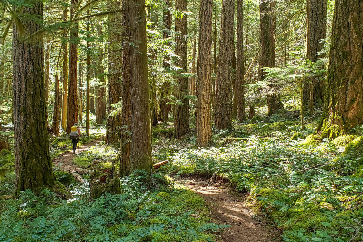
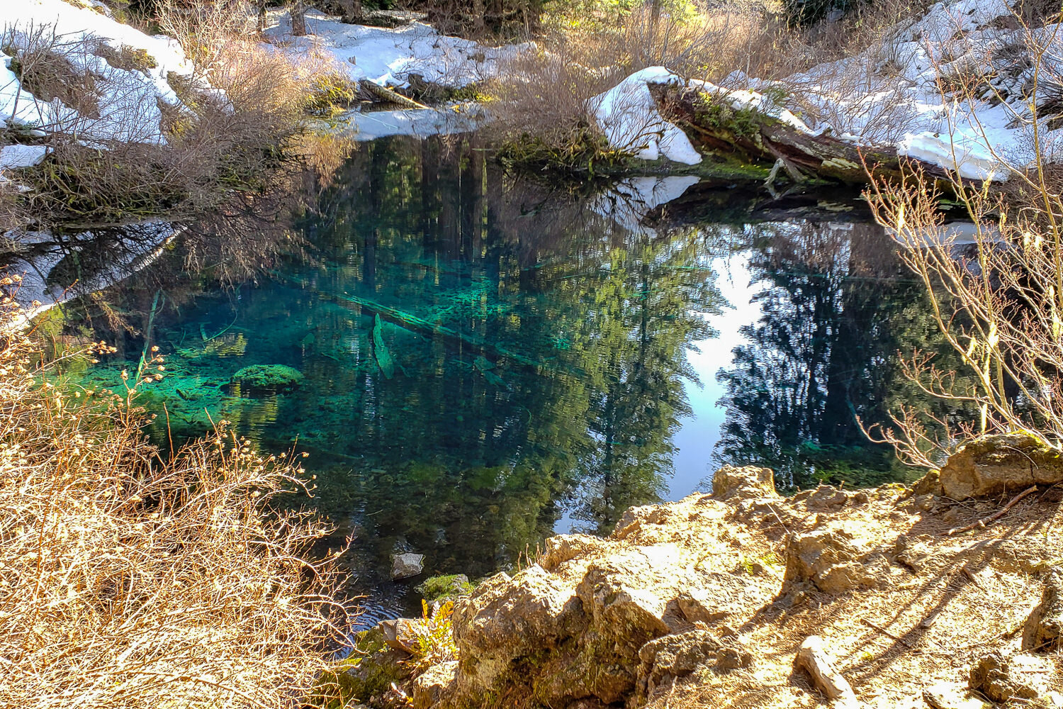
The McKenzie River Trail meanders through old lava flows, past views of crystal-clear blue waters, and through lush old-growth forests. It’s a relatively short and easy backpacking trip that you can hike over a long weekend if you’re tight on time. It’s also one of the few routes in the Pacific Northwest that’s accessible in spring and early summer. And arguably best of all, it offers a tempting opportunity to take a dip in a hot springs pool at the end of your trip.
We loved not having to carry much water while hiking the McKenzie River Trail. If you start from the Upper Trailhead, the route follows a gentle grade that’s mostly downhill. The campsites on the northern half of the trail are in developed campgrounds, which could be considered a downside (more crowds and fees), but the amenities are certainly convenient.
Quick Facts
- Distance: 27 miles (one way)
- Days Needed: 2 to 4 days
- Type: Shuttle or out-and-back
- Elevation Gain/Loss: 1,750 feet
- Best Travel Time: Mid-April through November, depending on weather
- Permits: Northwest Forest Pass or America the Beautiful Interagency Pass for trailhead parking; day use fees in some campgrounds
- Difficulty: Easy
Highlights
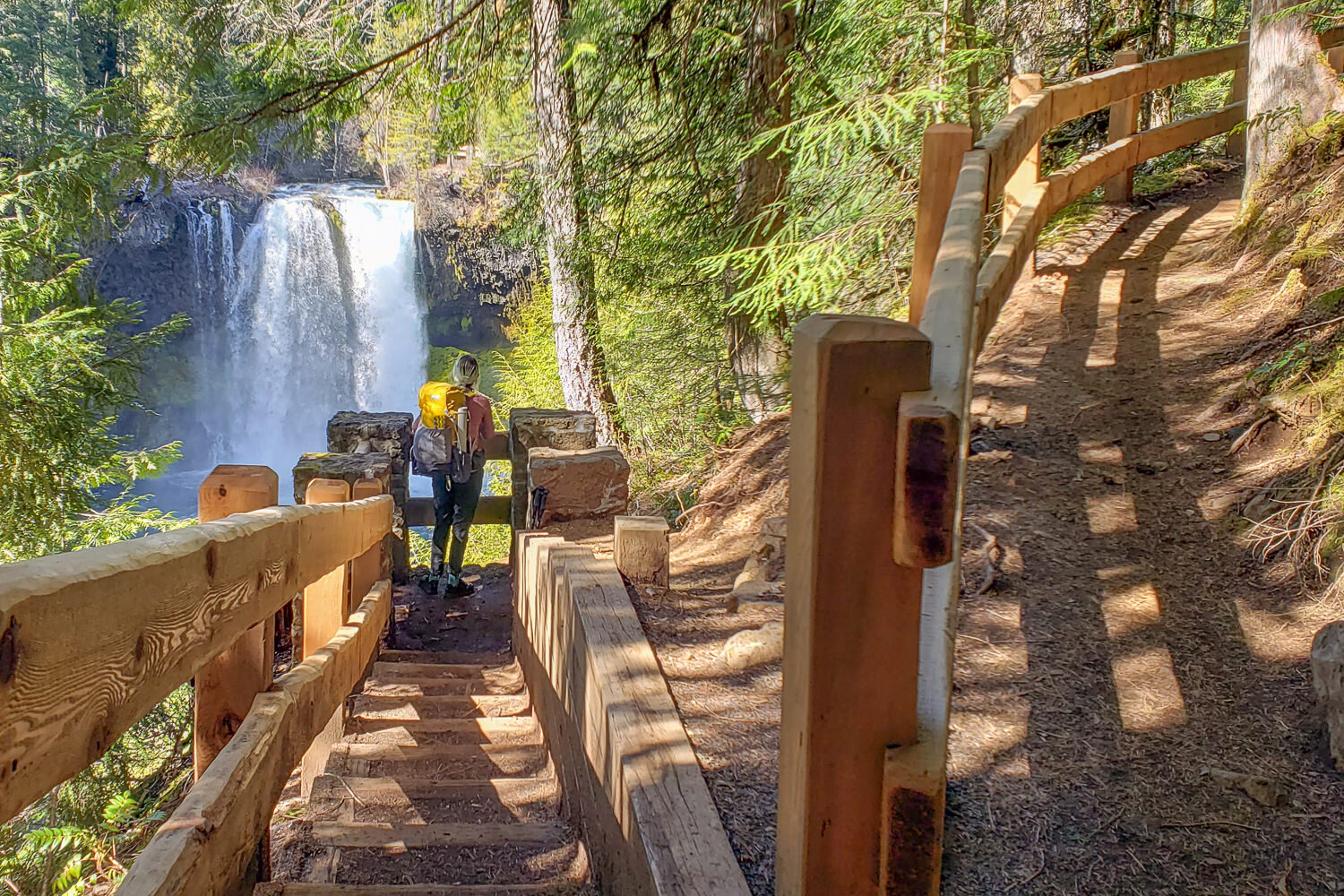
- Crystal-clear blue lakes, springs, waterfalls, and rivers
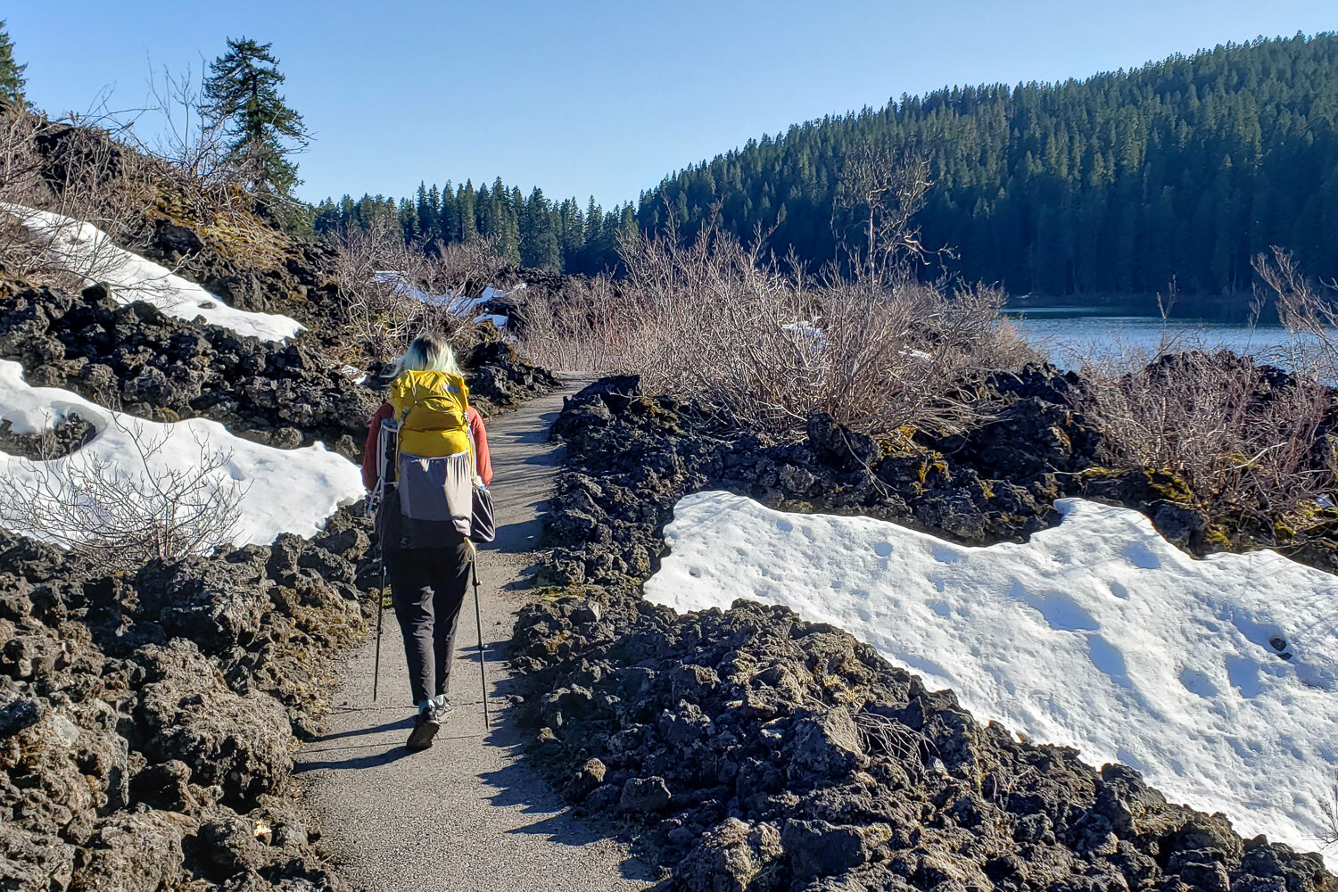
- Dramatic lava beds
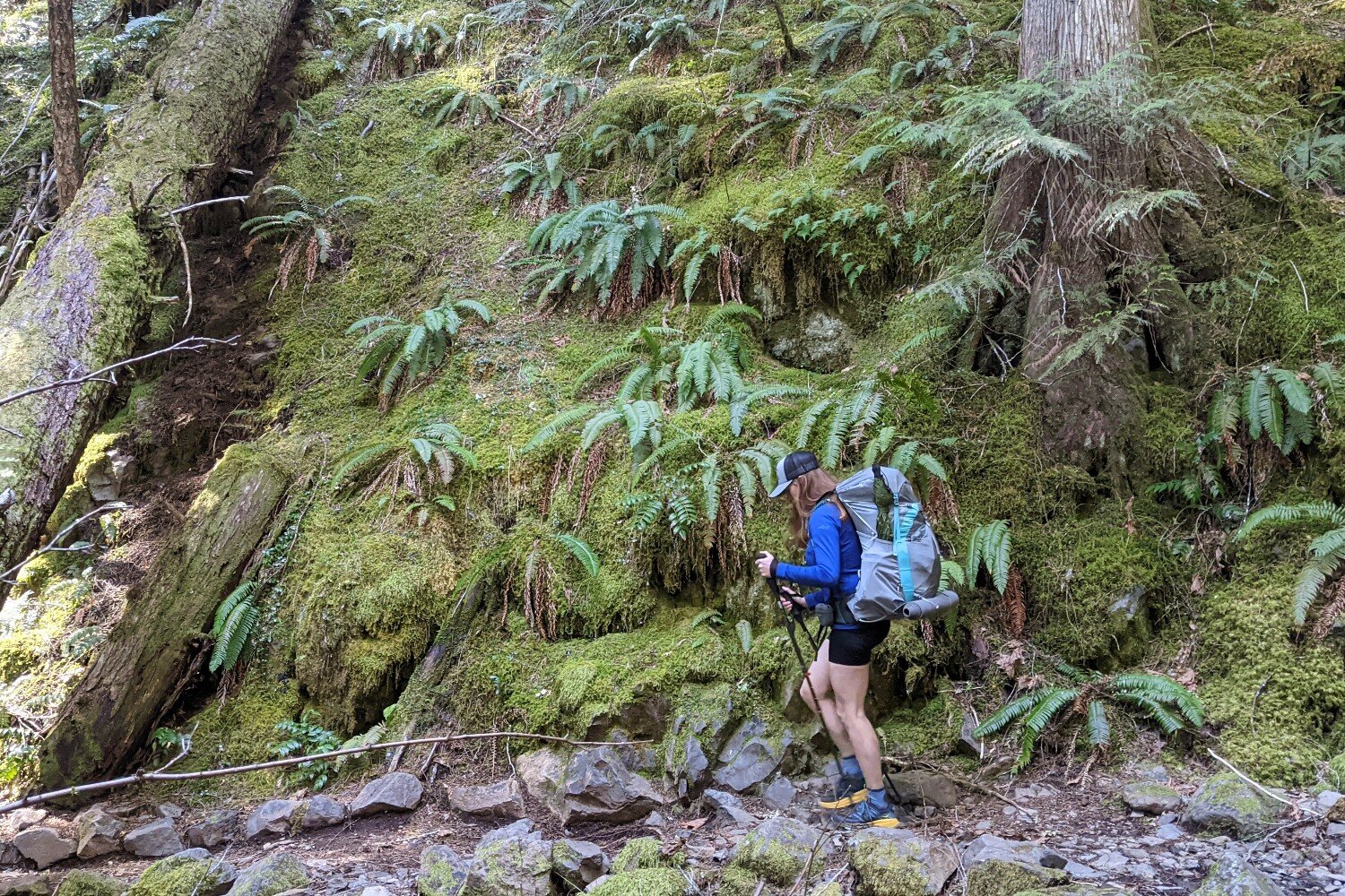
- Quiet old-growth forest
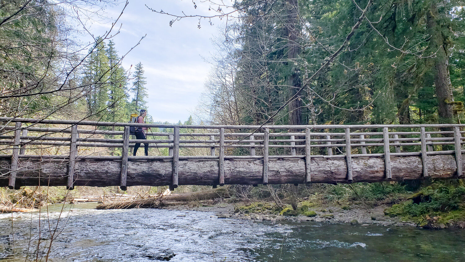
- Impressive log bridges
- Easy hiking with plenty of water sources
- Lots of entry and exit points
- Campground amenities (fire pits, pit toilets, showers, boat ramps, etc.)
- Hot springs resort on route
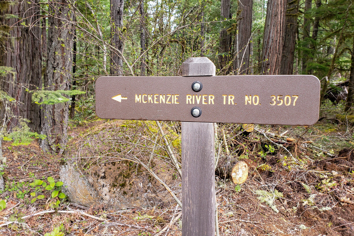
- Well-maintained trails with excellent signage
Lowlights
- Limited dispersed camping opportunities
- At popular times, you’ll have to share the trail with mountain bikers
- Blue Pool and waterfall viewpoints can be crowded
- Campgrounds can be busy and costly
- Belknap Hot Springs is developed (check prices for a soak and campsite)
- A shuttle or hitchhiking is necessary unless you hike out and back

When Is the Best Time to Visit?
The McKenzie River Trail (MRT) has a long hiking window due to its low elevation. That means you can backpack it anytime from mid-April through the fall in most normal snow years. Snow can linger through April at the upper end of the trail, but a bit of residual snow isn’t much of an issue since the trail is so well defined.
For the best experience, we recommend hitting the trail mid-spring (catch the rhododendrons in peak bloom May through July) or in the fall when you’ll have more solitude (pressure from rafters, mountain bikers, and tourists decreases). In the shoulder seasons, you’ll also have agreeable temperatures for a luxurious hot spring dip.
During the summer months, the campgrounds will be open, so you’ll have to pay more fees. Waterfall viewpoints will also be more crowded, but the old-growth forests and waterfront havens are still a great refuge from the heat.
How Difficult Is the McKenzie River Trail?
- Total Distance: 27 miles
- Total Elevation Gain/Loss: 1,750 feet
- Overall Difficulty: Easy
Difficulty depends on your experience, physical fitness, pack weight, and weather conditions. We would categorize this hike as easy since the trail is well maintained with good signage, and there are only a few small climbs and descents along the way. It’s a great fit for beginners and families, but it’s also an excellent hike for intermediate to experienced backpackers looking for a short trip that’s not too physically demanding.
As always, the heavier your backpack is, the harder your hike will be – so do yourself a favor and pack light. Check out our backpacking gear guides for the best in lightweight tents, sleep systems, cookware, and more.
Do I Need a Permit?
No permits are needed to hike the McKenzie River Trail. That said, make sure you have a Northwest Forest Pass, America the Beautiful Interagency Pass, or equivalent to park your car at the trailhead.

How Do I Get There?
The McKenzie River Trail is between the populated areas of Sisters/Bend and Springfield/Eugene, Oregon, which means there are lots of awesome dining/brewery options pre- and post-hike.
The drive to the trailhead is straightforward and scenic, especially if you take the backroads. There are many places to enter and exit the McKenzie River Trail since Highway 126 loosely follows the entire path. If you want to do all 27 miles, we recommend starting at the Upper McKenzie River Trail Trailhead.
- The drive from Portland takes about 2.5 hours. Take I-5 down to Salem, then follow OR-22 E to Santiam Junction. At the junction, hop on OR-20 W for a few miles before turning left on OR-126 E. A final left onto FS-2600 will take you to the Upper McKenzie River Trailhead at the end of the road.
- Start at the Trail Bridge Campground and head south for a shorter, more leisurely trip. The lower half of the MRT has more great riverside campsites, as well as the best old-growth forest scenery. If you choose this shorter route, make sure to drive up and check out Sahalie and Koosah Falls on your way out.
What Shuttle Services Are Available?
The following businesses offer shuttle services with multiple drop-off points. Note: Some cater specifically to mountain bikers, so it’s best to call ahead to make sure they can accommodate hikers on the dates of your trip.
What Are the Best Maps & Guidebooks for the Area?
We recommend downloading the Gaia GPS app on your phone and downloading the area map that encompasses the McKenzie River Trail. You can also print or buy maps through the following links:
What Regulations & Restrictions Are in Place?
We are always diligent about Leaving No Trace when outdoors to protect ourselves, others, wildlife, and the environment. That said, there are a few hard-set rules for camping in this part of the Willamette National Forest. For a section along the lower McKenzie River Trail, camping is restricted to developed campgrounds, and campfires should be contained to established fire rings when burning is allowed.
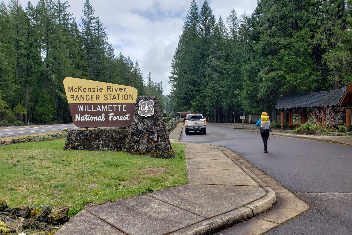
For more information about current wilderness regulations and restrictions, call or visit the McKenzie River Ranger Station. It’s also a good idea to keep an eye on the Willamette National Forest trail information page for conditions and closures.
How Accessible Is Water Along the Route?
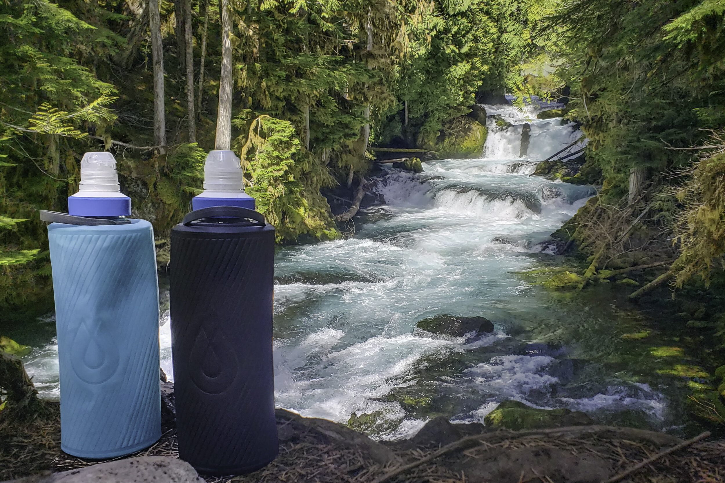
There are plenty of water sources along the McKenzie River Trail, including the river, springs, and lakes, so you can fill your water bottle as you go and keep your backpack lightweight. All campsites have water sources nearby, so carrying 1 to 2 liters of water at a time is all you’ll need.
There is a 3-mile section between Carmen Reservoir and Tamolitch Falls (Blue Pool) where the river disappears underground for much of the year. We recommend topping off your water before you traverse that section since harvesting water from the beaver marsh isn’t very appealing.
Note: The McKenzie River is turbulent and dangerously cold. Use caution if you choose to cool off in the water, even during the summer months.
How Should I Store My Food?
Bear canisters aren’t required on the McKenzie River Trail, but it’s always a good idea to store your food properly for peace of mind. We used an Ursack to keep rodents from getting their paws on our goods at night.
Where Are the Best Hot Springs Nearby?
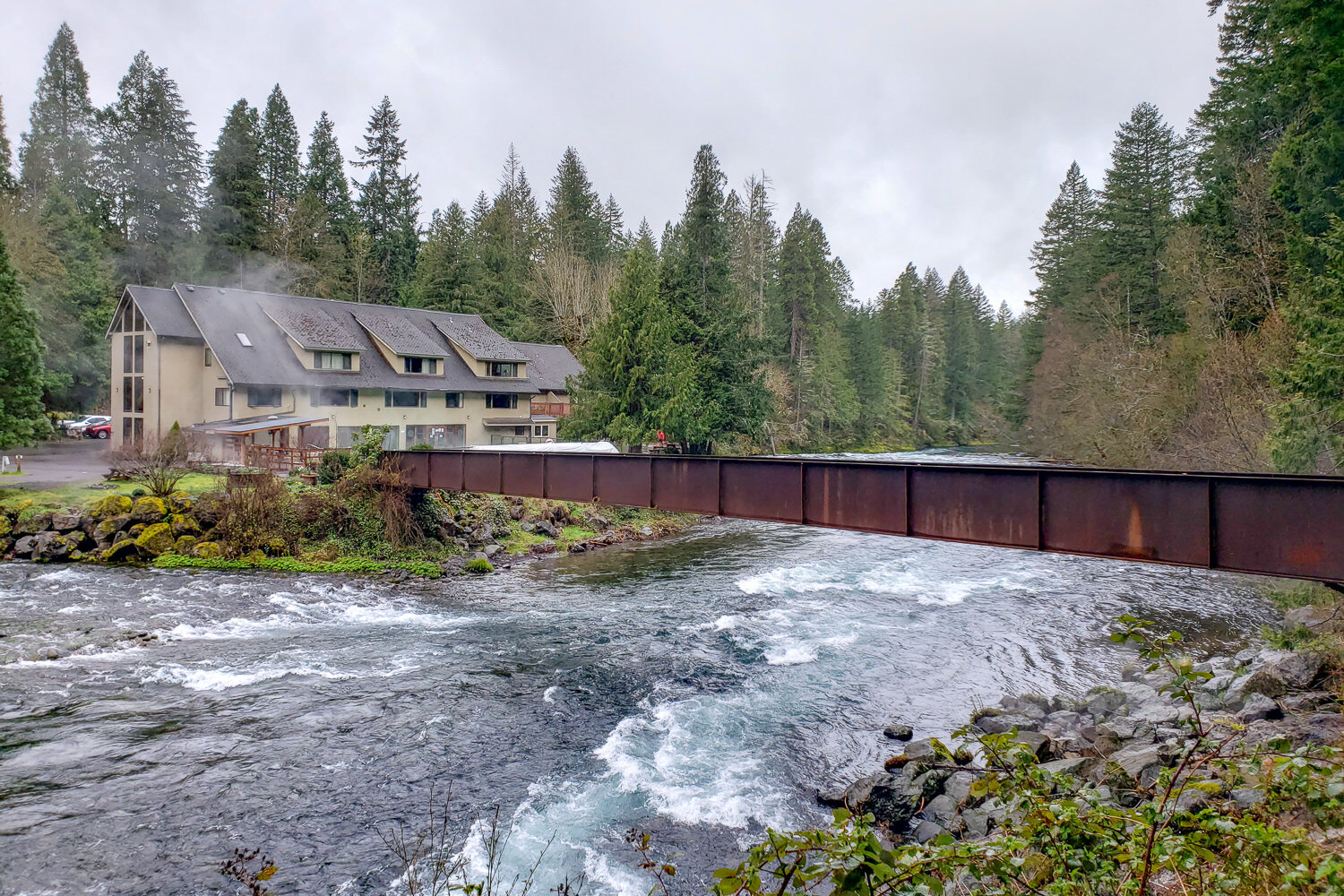
Belknap Hot Springs Resort is a great way to end (or begin) your McKenzie River Trail backpacking trip. The naturally heated mineral hot spring water is piped into two pools. If you tent camp ($40 a night for two guests), you can soak from 9 a.m. to 9 p.m. Walk-in pool guest hours are 9 a.m. to 5 p.m. ($12 for one hour). There are other hot springs off of the McKenzie Highway, but this one is a classic.
Here are some helpful items to pack if you plan to visit the hot springs:
- Small, packable towel (towels are also available for rent at the front desk)
- Ultralight camp shoes (for the showers / changing rooms)
- Swimsuit or an extra pair of underwear / bra to wear in the pool
- Small dry bag or sealable plastic bag (for wet clothes)
- Hair tie (sleeping with wet hair will make you cold)
What Gear Should I Pack?
Make sure to check out our Ultimate Backpacking Checklist, so you don’t forget something important.
Below you’ll find our current favorite backpacking gear. If you want to see additional options, our curated gear guides are the result of many years of extensive research and hands-on testing by our team of outdoor experts.
BACKPACK
- Best Backpacking Pack Overall: Gregory Paragon 58 – Men’s / Gregory Maven 58 – Women’s
- Best Ultralight Backpacking Backpack: Hyperlite Mountain Gear Unbound 40
- More: Check out our best backpacking backpacks guide for ultralight and trekking options
TENT
- Best Backpacking Tent Overall: Big Agnes Copper Spur HV UL2
- Best Ultralight Tent: Zpacks Duplex
- Best Budget Tent: REI Half Dome 2
- Best Tent Stakes Overall: All One Tech Aluminum Stakes
- More: Check out our best backpacking tents guide for more options
SLEEPING BAG/QUILT
- Best Sleeping Bag Overall: Men’s Feathered Friends Swallow YF 20 / Women’s Feathered Friends Egret YF 20
- Best Quilt Overall: Enlightened Equipment Revelation 20
- More: Check out our best backpacking sleeping bags guide and best backpacking quilts guide for more options
SLEEPING PAD
- Best Sleeping Pad Overall: NEMO Tensor All-Season
- Best Foam Sleeping Pad: NEMO Switchback
- More: Check out our best backpacking sleeping pads guide for ultralight and trekking options
CAMP KITCHEN
- Best Backpacking Stove Overall: MSR PocketRocket 2
- Best Backpacking Cookware Overall: TOAKS Titanium 750ml
- Best Backpacking Coffee Overall: Starbucks VIA
- More: Check out our best backpacking stoves guide and best backpacking cookware guide for ultralight and large group options
WATER & FILTRATION
- Best Water Filter Overall: Sawyer Squeeze
- Best Hydration Bladder Overall: Gregory 3D Hydro
- Best Backpacking Water Bottles: Smartwater Bottles
- More: Check out our best backpacking water filters guide and best backpacking water bottles guide for ultralight and large group options
CLOTHING
- Best Hiking Pants Overall: Men’s Outdoor Research Ferrosi / Women’s The North Face Aphrodite 2.0
- Best Hiking Shorts Overall: Men’s Patagonia Quandary / Women’s Outdoor Research Ferrosi
- Best Women’s Hiking Leggings: Fjallraven Abisko Trekking Tights HD
- Best Rain Jacket Overall: Men’s Patagonia Torrentshell 3L / Women’s Patagonia Torrentshell 3L
- Best Rain Pants: Men’s Patagonia Torrentshell 3L / Women’s Patagonia Torrentshell 3L
- Best Down Jacket Overall: Men’s Patagonia Down Sweater Hoodie / Women’s Patagonia Down Sweater Hoodie
- Best Fleece Jacket Overall: Men’s Patagonia Better Sweater / Women’s Patagonia Better Sweater
- Best Sunshirt Overall: Men’s Outdoor Research Echo / Women’s Outdoor Research Echo
- Best Socks Overall: Men’s Darn Tough Light Hiker Micro Crew / Women’s Darn Tough Light Hiker Micro Crew
- Beste Ultralight Liner Glove: Patagonia Capilene Midweight Liner
- More: Check out our best backpacking apparel lists for more options
FOOTWEAR & TRACTION
- Best Hiking Shoes Overall: Men’s HOKA Speedgoat 6 / Women’s HOKA Speedgoat 6
- Best Hiking Boots Overall: Men’s Salomon X Ultra 5 GTX / Women’s Lowa Renegade Evo GTX
- Best Hiking Sandals Overall: Men’s Chaco Z/1 Classic / Women’s Chaco Z/1 Classic
- Best Camp Shoes Overall: Crocs Classic Clogs
- Best Traction Device for Hiking Overall: Kahtoola MICROspikes
- More: Check out our best backpacking footwear lists for more options
NAVIGATION
- Best GPS Watch Overall: Garmin Instinct 2 Solar
- Best Personal Locator Beacon (PLB): Garmin inReach Mini 2
- More: Check out our article How to Use Your Phone as a GPS Device for Backpacking & Hiking to learn more
FOOD
FIRST-AID & TOOLS
- Best First-Aid Kit Overall: Adventure Medical Kits Ultralight/Watertight .7
- Best Pocket Knife Overall: Kershaw Leek
- Best Multitool Overall: Leatherman Wave+
- Best Headlamp Overall: Black Diamond Spot 400-R
- Best Power Bank Overall: Nitecore NB 10000 Gen 3
- More: Check out our best first-aid kit guide, best pocket knife guide, best multitool guide, best backpacking headlamps guide, and best power banks guide for more options
MISCELLANEOUS
- Best Trekking Poles Overall: Black Diamond Pursuit
- Best Backpacking Chair Overall: REI Flexlite Air
- Best Backpacking Stuff Sack Overall: Hyperlite Mountain Gear Drawstring
- More: Check out our best trekking poles guide, best backpacking chairs guide, and best stuff sacks guide for more options
More McKenzie River Trail Photos
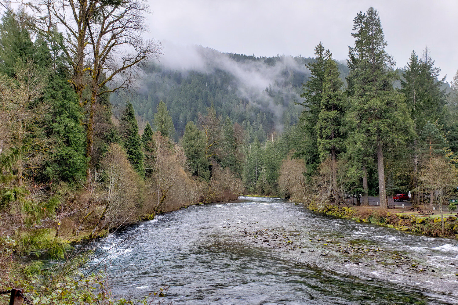
Boaters, anglers, hikers, and mountain bikers all enjoy exploring the McKenzie River. – photo credit: heather eldridge (cleverhiker.com)
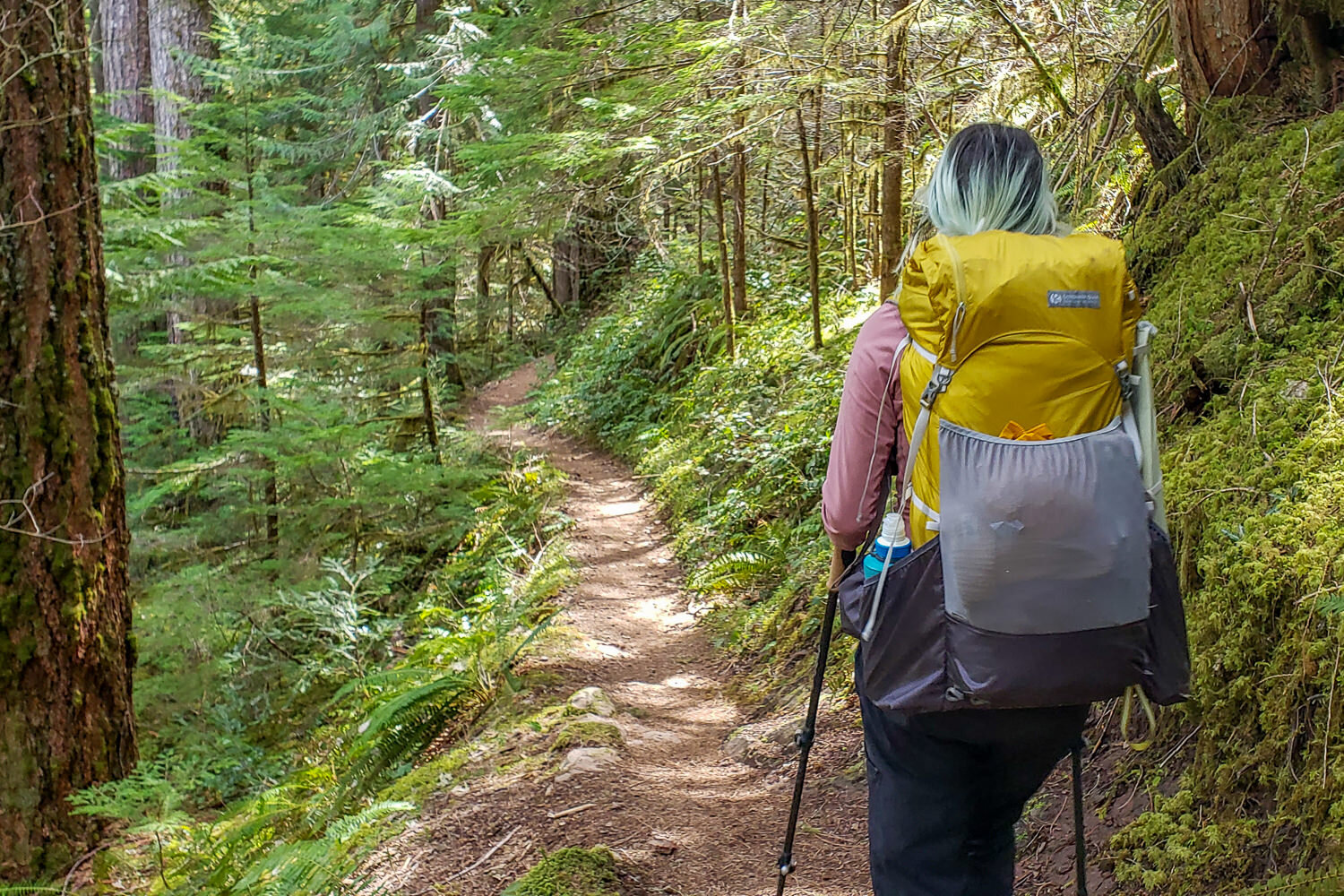
Backpacking the McKenzie River Trail with the Gossamer Gear Gorilla 50 pack. – photo credit: heather eldridge (cleverhiker.com)
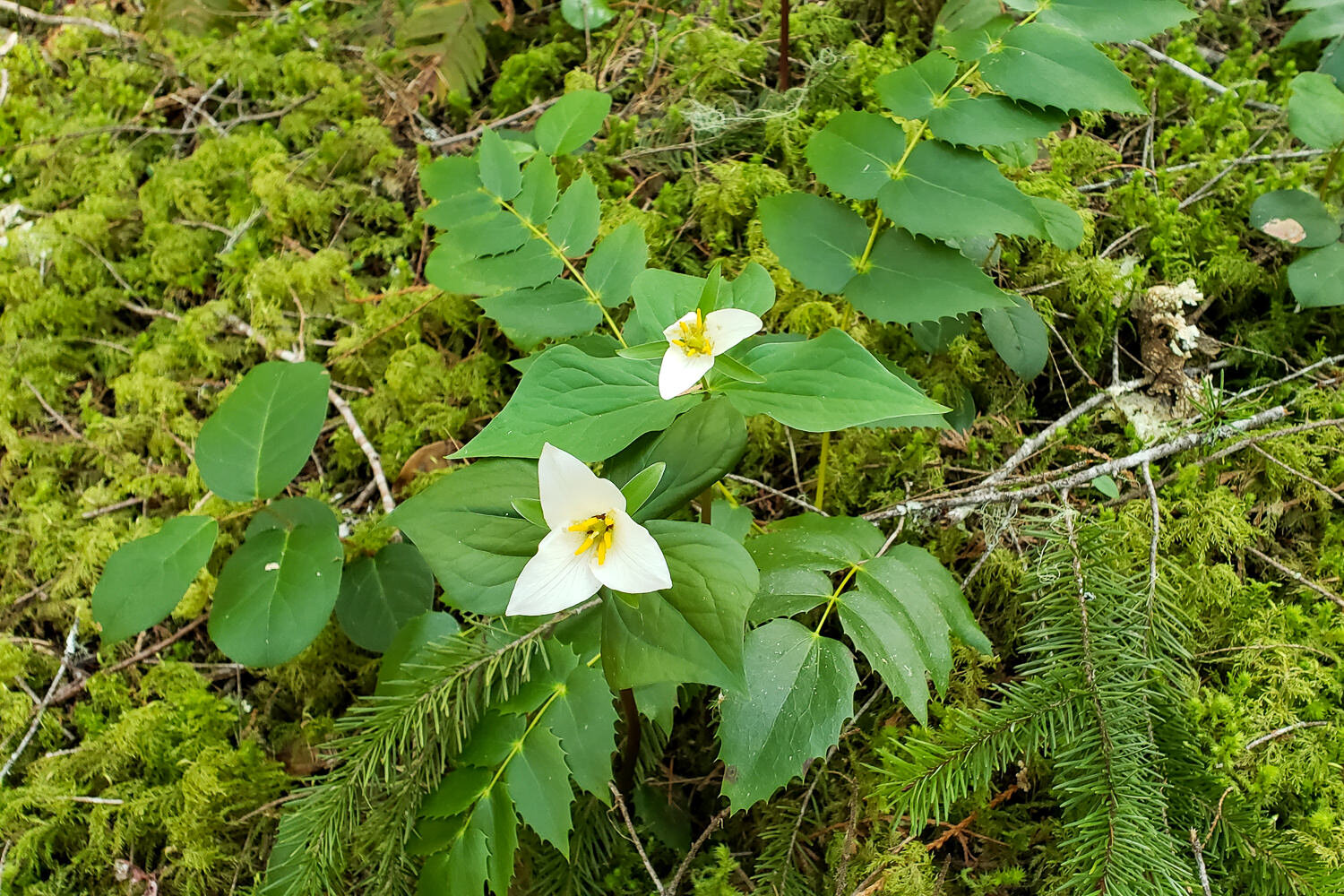
trilliam and oregon grape blanket the shady forest floors along the trail. – photo credit: heather eldridge (cleverhiker.com)
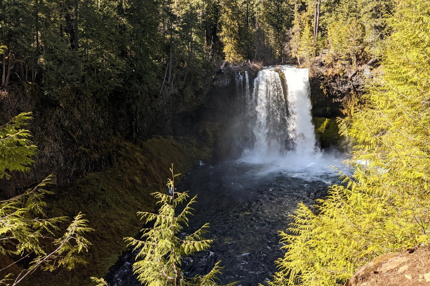
You’ll visit three iconic Oregon waterfalls on this trail. – photo credit: heather eldridge (cleverhiker.com)
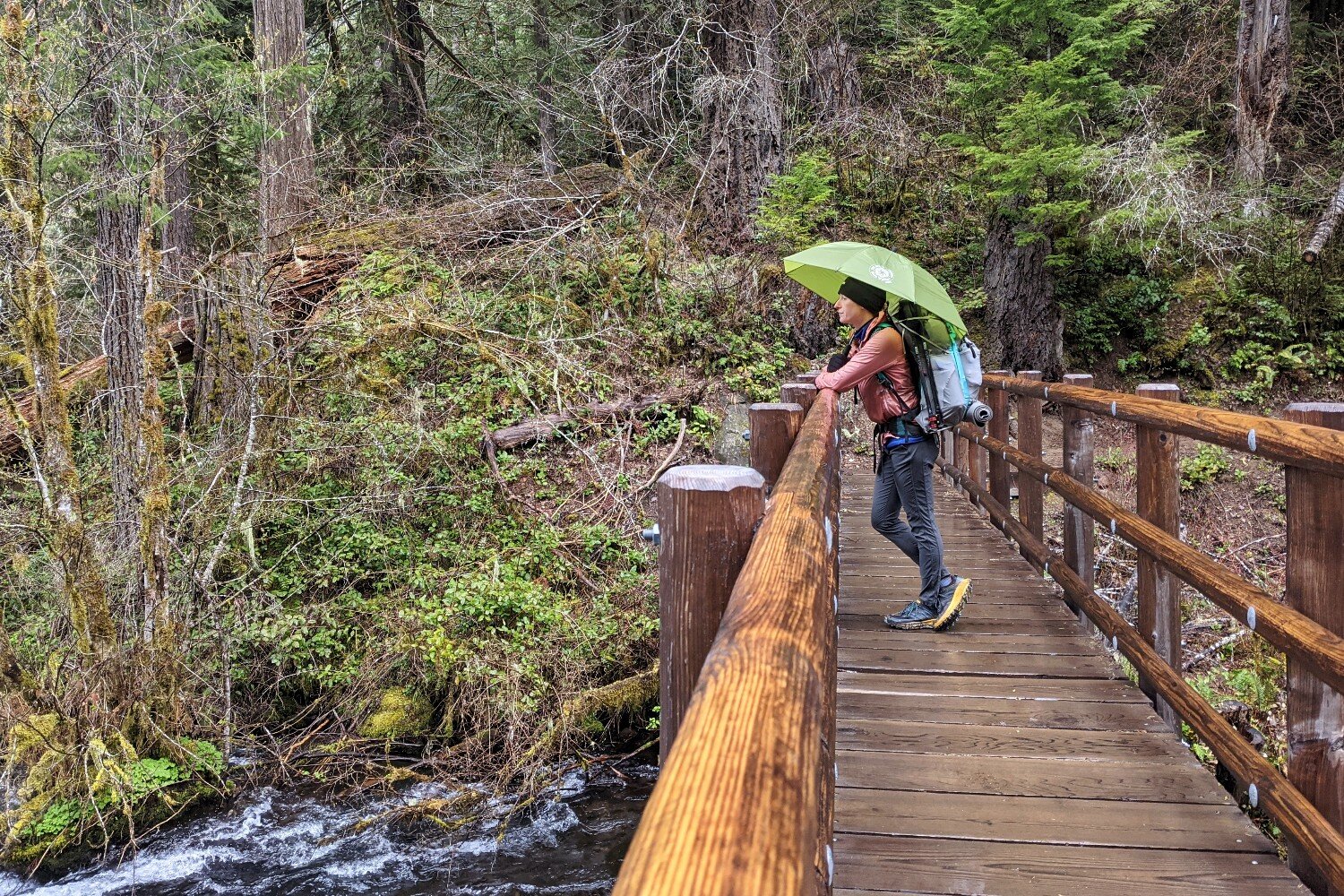
It’s not a bad idea to bring an umbrella on the this hike. – photo credit: heather eldridge (cleverhiker.com)
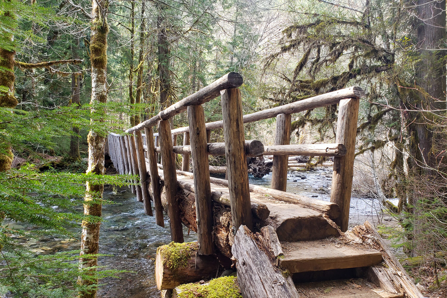
Kudos to the trail crews of the Willamette National Forest – These bridges were incredible backcountry designs. – photo credit: heather eldridge (cleverhiker.com)