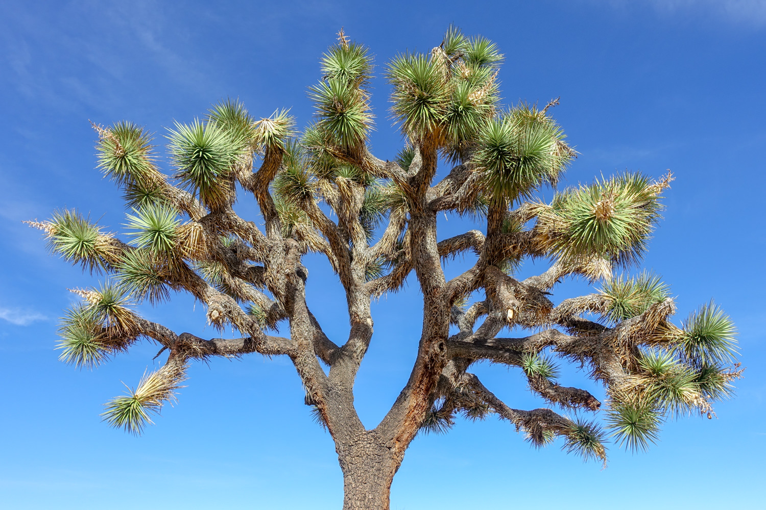
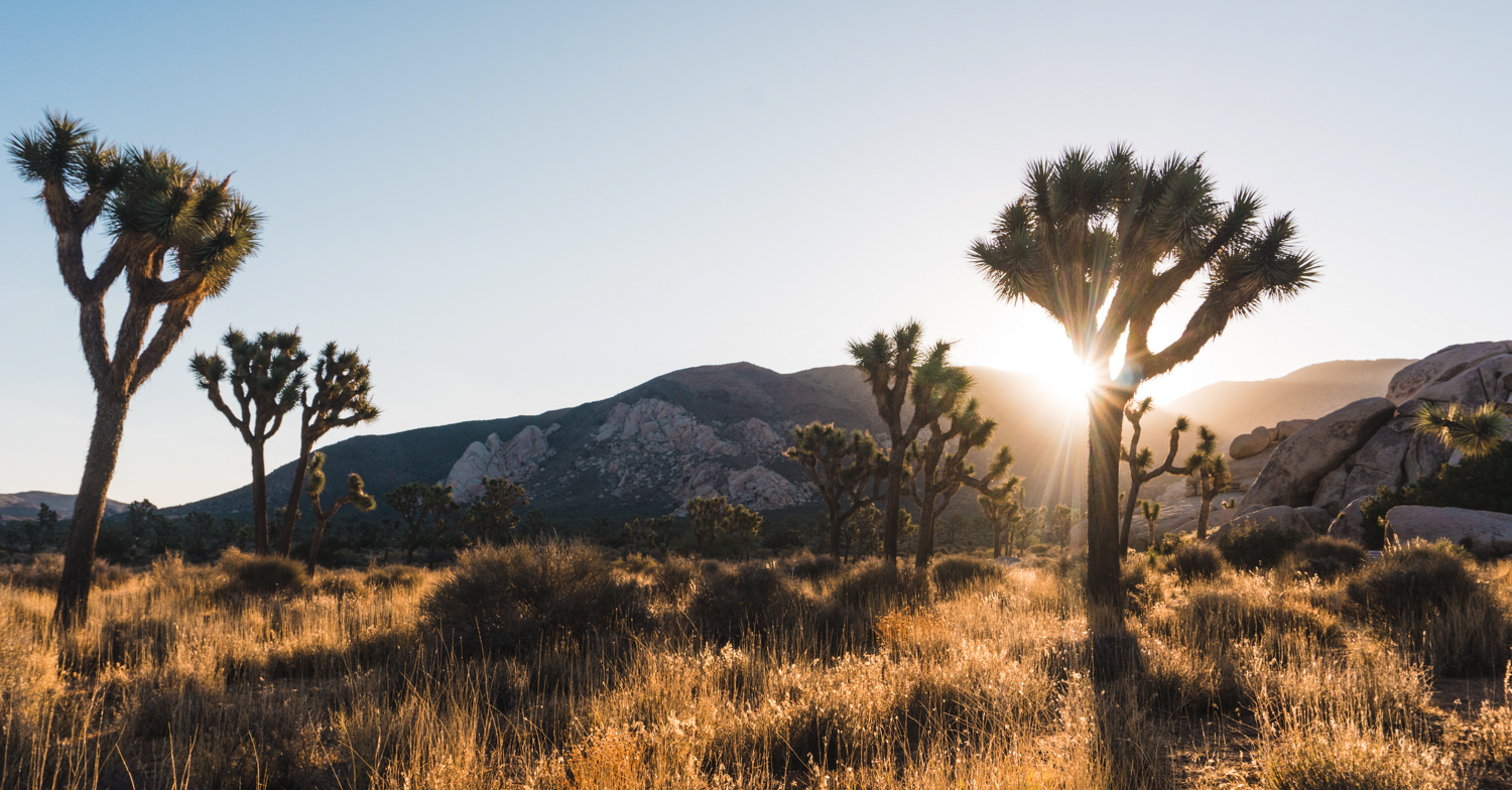
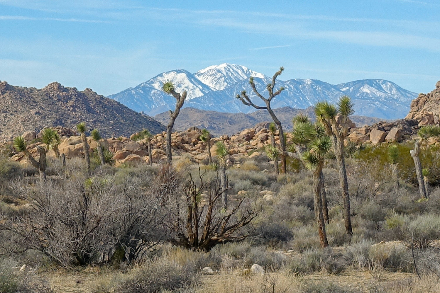
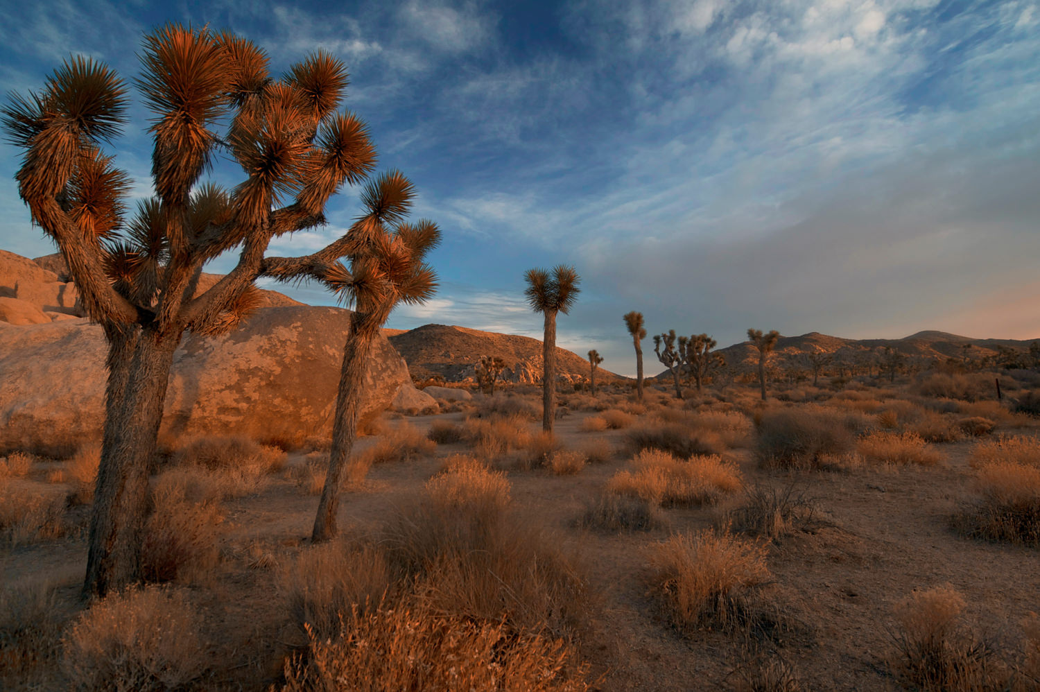
Joshua Tree National Park is aptly named after the tree-like succulents with stemless pointed leaves that only grow in a small swath of the Mojave Desert in California. Mormon settlers thought the plant’s sprawling, zig-zagging branches resembled the outstretched arms of the biblical Joshua, so they dubbed it the Joshua Tree.
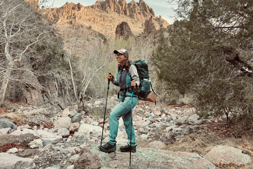
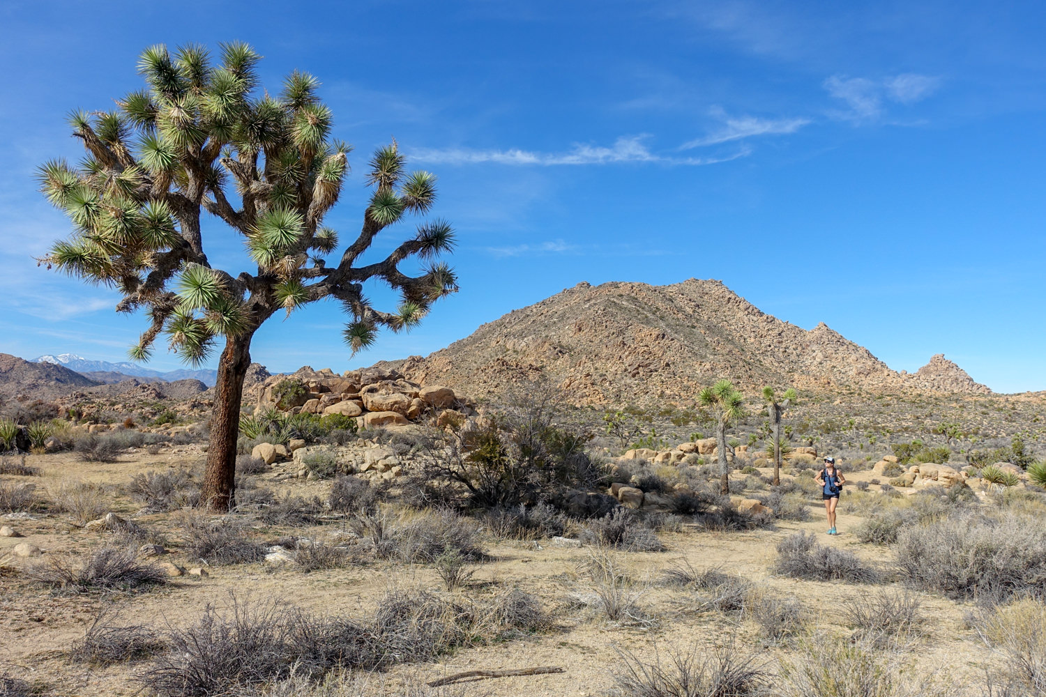
Joshua tree is a fantastic place to hike. On top of its iconic Joshua trees, the park boasts other unique plants and animals in a surreal landscape of granite monoliths and rock garden labyrinths filled with house-sized boulders. The area is also noteworthy for its exceptionally dark night skies, rich cultural history, incredible rock climbing, and unique hiking options. This guide outlines our favorite hikes in the park and all the information you’ll need to plan your Joshua Tree adventure.
Best Hikes In Joshua Tree NP
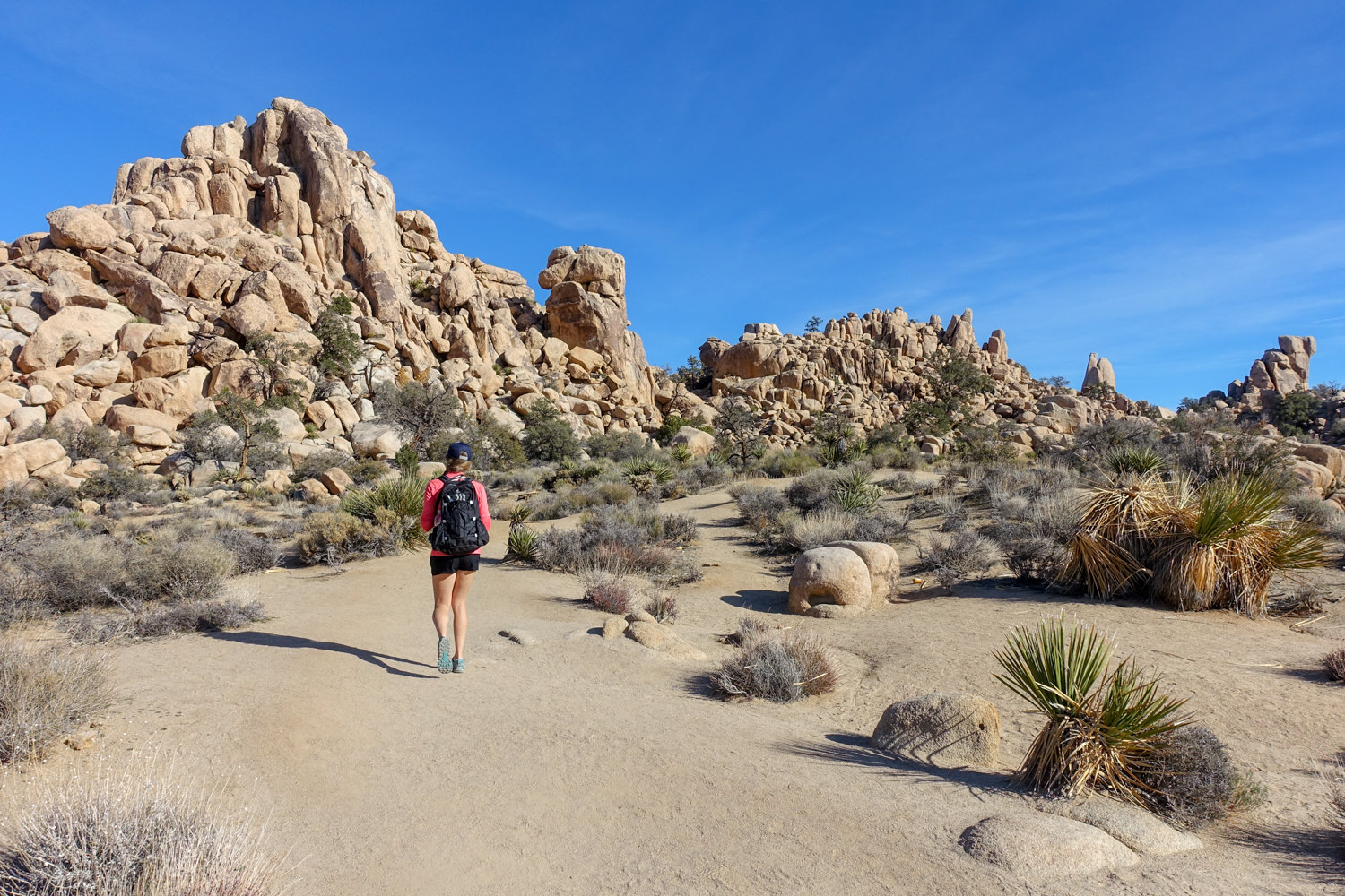
Hidden Valley Trail
- Distance: 1 mile
- Difficulty: Easy
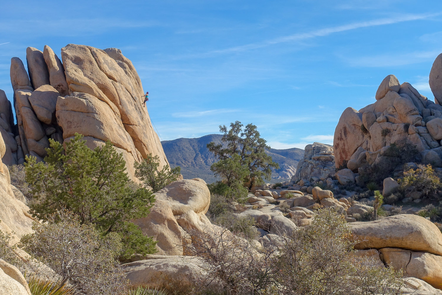
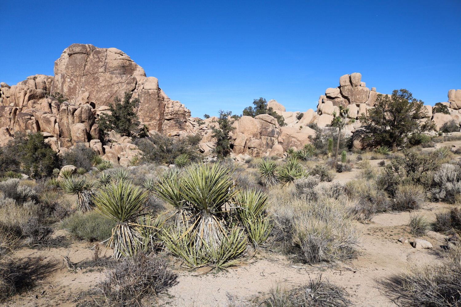
Located near Twentynine Palms, this a good trail to get out and stretch your legs after first arriving to the western edge of Joshua Tree. This one-mile, mostly level trail circles around a small valley scattered with massive boulders. Think of it as a sampler trail that provides a solid overview of the park’s unique geology, plant life, and rock formations.
Hidden Valley is also a popular climbing and bouldering area. You can spend hours watching people scale the walls, but don’t expect solitude. That said, it’s worth a quick visit to wander through this boulder oasis.
Wonderland Wash
- Distance: 2.1 miles (roundtrip)
- Difficulty: Easy
A lightly traveled whisper of a trail, this hike captures the essence of Joshua Tree. It’s a faint but obvious trail, partially following a wash. The elevation gain is a mere 75-feet total, but you’re bound to be slack-jawed the entire way. The rocks here are crazy fun, including one that looks like a whale when you first pass it but transforms into a panther as you return and see it in a whole new light.
Many hikers overlook this trail in this part of the park because they are too busy scrambling up the amazing rocks on the way to the Astro Dome. The trailhead is just south of both the west and the north entrance to the park.
Ryan Mountain
- Distance: 2.8 miles roundtrip
- Difficulty: Moderate
Located in the center of the park, Ryan Mountain is the closest trail to the west entrance. The trail is a well-maintained combination of dirt and constructed stone steps. It’s a steady 1,200 ft climb to the 5,400-foot summit, but hikers get rewarded with the most comprehensive views of the entire park.
The crowds can get pretty thick on this trail during peak season. Consider timing your trek for sunset, but bring a headlamp and trekking poles (to help warn rattlesnakes of your approach). Watching the sun go down across this desert has inspired legions of hikers, artists and musicians.
Pine City
- Distance: 3.9 miles
- Difficulty: Easy to Moderate
Located in a maze of canyons in the northeast corner of Queen Valley, Pine City Trail gets its name from all the pinyon pines in the area. Hikers will love the largely flat wandering through a maze of boulder-riddled rock gardens.
You’ll love it even more if you’re lucky enough to catch a glimpse of the small Desert Bighorn Sheep herd that visits the area. They generally come for the shade, vegetation and numerous potholes in the early morning or early evening.
Pine City Trail is a designated Day Use Area Only, so you’ll have to get up early to see them. The trip to Pine City Overlook is short and easy, but strong hikers will want to drop in and explore the maze of canyons below it.
Warren Peak
- Distance: 5.35 miles (roundtrip)
- Difficulty: East
If Ryan Mountain is worth climbing for the sunset, Warren Peak is the one you want for sunrise – although, you’ll work a little harder for it in terms of distance (not elevation).
Located near the Black Rock Campground in the quiet northwestern section of Joshua Tree, this low-crowd hike descends into a wash. The way through the moderately deep sandy wash is fairly obvious, but it’ll likely take longer than you’d expect to traverse it. Once through the wash, it tracks across the scrub-dominated desert before finally beginning an earnest climb via switchbacks and a final steep climb (in the last quarter mile) toward the rocky summit.
One of the unique features of this hike is that it lies in the park’s Colorado and Mohave ecological transition zone. This means you’ll see few Joshua Trees but a scattering of pinyon, juniper and oak that you’ll rarely see anywhere else in the park.
Lost Horse Mine Loop
- Distance: 6.4 miles
- Difficulty: Moderate
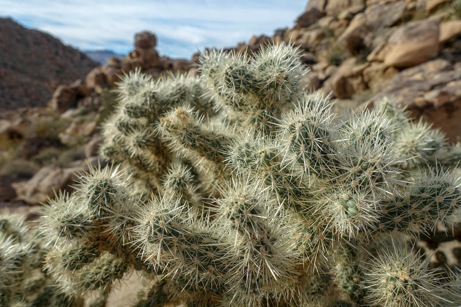
Located in the Southwest section of the park, this is an interesting trail offering a good mix of Joshua Trees, cacti, and horizon views across the desert. It also includes a bit of history, including a closed mine and graffiti from Gram Parsons from the ’70s band, the Eagles – look for his signature on the rock shelf near the mine’s entrance).
Ascending only 810 feet, this trail is fairly easy with a few short sections requiring extra effort. It’s best to hike to the mine clockwise, getting the ascent out of the way before the heat sets in. You’ll also get more spectacular views of the desert basins to the east.
A couple of cautions:
- Get here early. The parking lot is small and fills up fast.
- Carry extra water. Like many Joshua Tree trails, the sun exposure in this particular area is direct with no shade to speak of.
The Maze Loop
- Distance: 4.7-8.2 miles (depending on route)
- Difficulty: Moderate
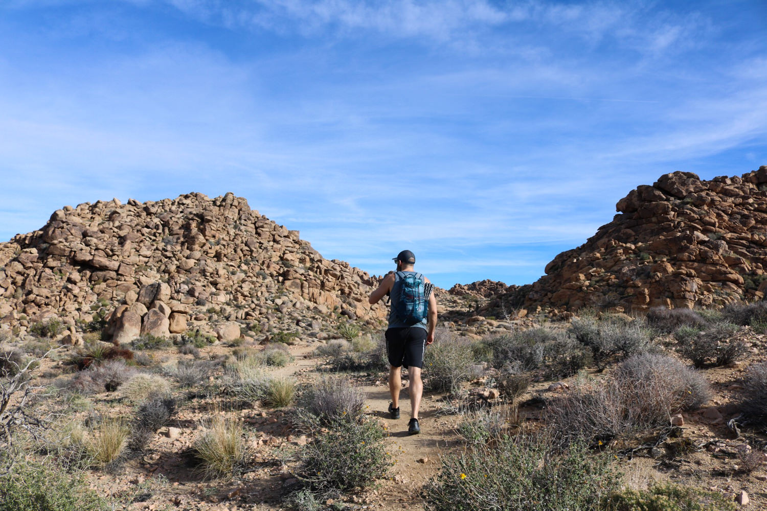
Though there are many variations of this hike, the standard 4.7 mile Maze Loop is a great, mid-range day hike in Joshua Tree. You’ll slowly meander your way toward peaks that provide excellent views of the National Park. Along the way there’ll be plenty of stacked rock formations, low slot canyons formed from boulders, juniper, Joshua Trees and desert expanse.
The park service has finally beefed up signage in this area as it truly is a maze. That said, always carry a map and pay attention because you’ll be traversing in and out of washes along faint trails in a landscape of low-lying shrub.
Optional Grand Loop: If you have the time and energy, we recommend combining the three loop trails for a 8.2 mile adventure. Take the Maze Loop trail just under 2 miles to where it meets up with the Window Loop Trail. Follow the Window Loop and gain elevation steadily. The Window Loop curves back around and reconnects with the Maze Loop, but instead of following it back to the trailhead, continue straight ahead to the North View Trail (where you’re likely to see desert tortoise, lizards, snakes and birds) and a junction with the Big Pine Trail. Stay on the North View Trail to where it cuts south (after a steady climb), and then eventually you’ll head back to The Maze trailhead.
Willow Hole and the Wonderland of Rocks
- Distance: 7.1 miles
- Difficulty: Easy
With a net elevation gain of only 22 feet, this is a fairly level out-and-back trail. Though the Willow Hole Trail is marked, sections of the route traverse through washes and can be confusing, sandy, and faint. Always carry a map, especially if you want to explore the fantastic rock gardens in the Wonderland of Rocks, which is a complex maze in its own right.
You’ll navigate a few tight spots before the wash opens up and reaches the towering rock formations. The minimal elevation gain can be deceptive, however, as deep sand impedes the last part of this trail, which ends at a seasonal waterhole under a willow tree, your turnaround point. The Day Use Only area, especially at Willow Hole, serves as a water source for Bighorn Sheep, but is also a micro-habitat that supports a wide range of plants and wildlife.
Lost Palms Oasis
- Distance: 7.4 miles (roundtrip)
- Difficulty: Moderate
Located near the Cottonwood entrance in the the southeast part of the park, this trail offers a wide variety of terrain, a diversity of vegetation (including the spectacular fan palm), wildflowers, long horizon views, and wildlife sightings.
The best route to the oasis avoids dropping in at the Lost Palms Canyon sign, where the steep sand and gravel-strewn route makes for difficult descending. Instead, head to the right and and find the Lost Palms Canyon path. From there, look for cairns and follow them into the canyon that takes you to the eponymous oasis.
Summit Springs
- Distance: 11.4 miles (roundtrip)
- Difficulty: Strenuous
Located beyond Lost Palms Oasis in a palm grove deep in the isolated Munsen Canyon, Summit Springs is an epic desert trek in a landscape punctuated with Mojave yucca, cholla cacti, jojoba, juniper, creosote, and palo verde trees, to name a few. You’ll also encounter deep narrow canyon floors, ubiquitous Fan Palms, challenging boulder obstacles, and pour-offs. But there’s also beautiful spring-fed pools.
Accessed from the Cottonwood Spring Trailhead and with 2,510′ total round-trip elevation gain, this trail requires substantial desert wilderness hiking experience, as well as bouldering, scrambling, and solid navigation skills. The trail descends and winds through fan palms, mesquite, cats claw, and desert willow before entering a maze of washes and canyons and rippling ridgelines. Even though it’s a pretty obvious trail most of the way, route finding will be needed around transition points or junctions, around washes, and in and out of canyons.
Best Time To Visit
The best time to visit Joshua Tree is March through April and October through November. Spring is the best season to experience the desert at its most brilliant as the desert brims with the bloom of wildflowers and cacti.
Visiting in winter months can be very nice, too, as daytime temperatures are pleasant and crowds are thinner compared to spring and fall.
During the summer, temperatures often soar dangerously high into the 100s during the day and drop down to 50-degree temps at night. You should also be prepared for sudden lightning storms (June-August). We always recommend checking the local forecast before heading out.
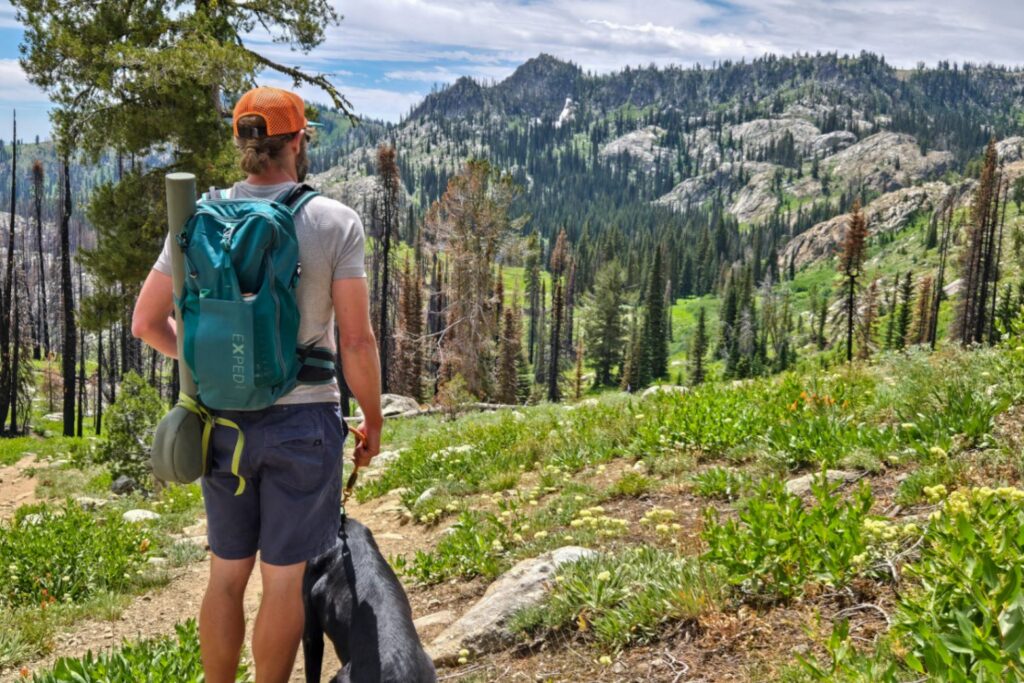
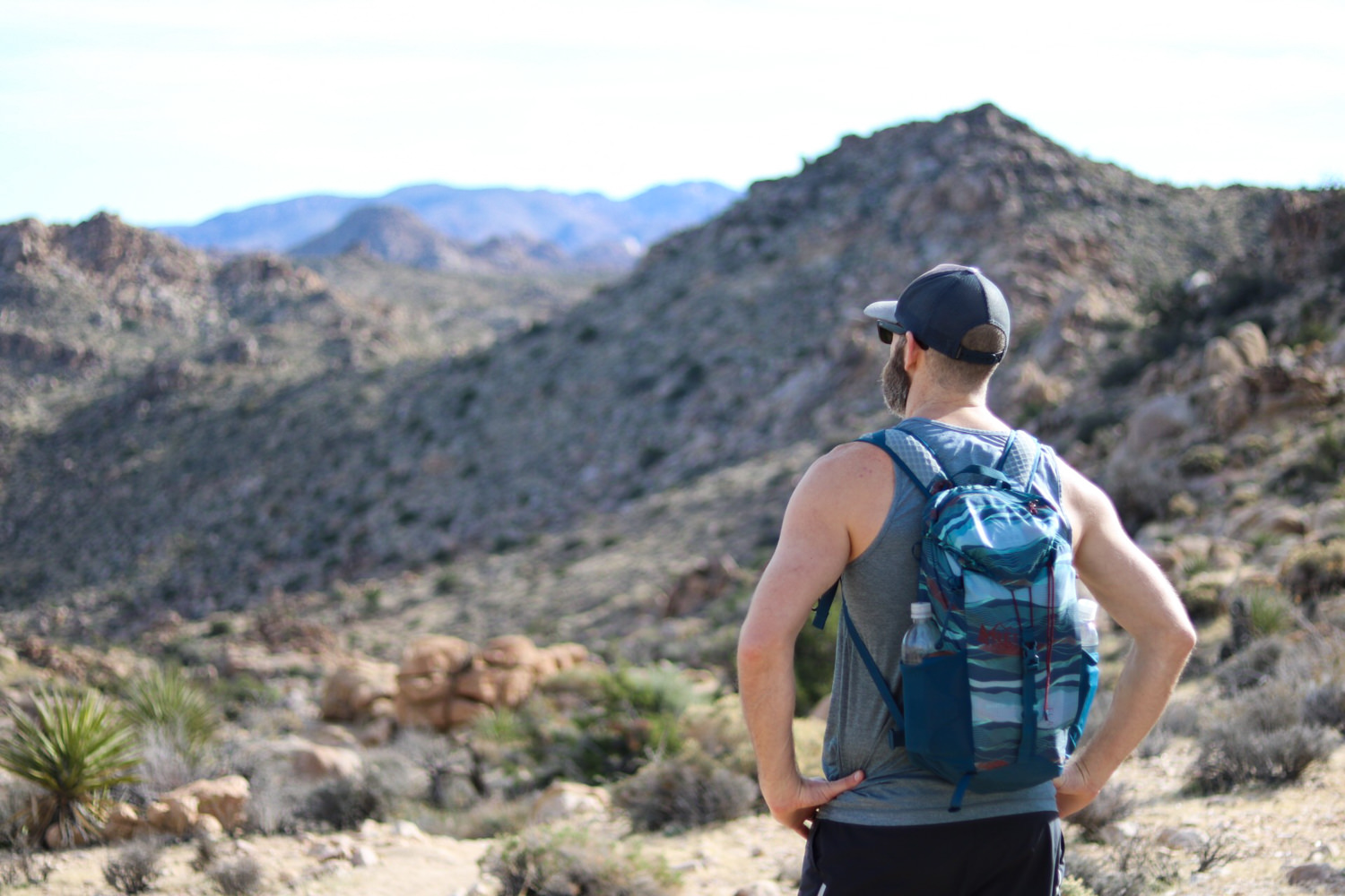
What Gear Do I Need For A Day Hike?
For first-timers and sage backcountry travelers alike, dialing in essential day hiking gear is an important part of any pre-trip preparations. When things go wrong outdoors, knowing What To Pack on Your Day Hike can mean the difference between a minor inconvenience and actual danger. Educate yourself on the 10 Things You Should Bring On Every Day Hike to ensure you have a safe and comfortable wilderness adventure.
For more information, check out our Best Hiking Daypacks post where we outline top recommendations for packs that balance comfort, convenience, weight, and cost.
Where To Camp
According to Joshua Tree National Park, visitation has doubled in the over the past five years, Spring – specifically Spring Break – is peak season. Some campgrounds are first come, first served. Others absolutely require pre-reservations during peak season. Find out more on campgrounds and reservations on the National Park Service’s Joshua Tree page. Reservations may be made on recreation.gov.
Most of the first-come first-serve sites are located near self-guided nature walks, shorter hikes, popular rock climbing areas, and day-use picnic areas. Most have pit toilets. Look for the fee pay area, and then post your pay stub on the campsite post correlating with the campsite number.
First-come, First-Serve Campsites
- Hidden Valley
- Belle
- White Tank
Reservable Campsites
- Jumbo Rocks (in the main park)
- Cottonwood (near the south entrance)
- Black Rock (entrance in the town of Yucca Valley)
- Indian Cove (entrance in the town of Twentynine Palms)
- Ryan (centrally located, adjacent to the California Riding and Hiking Trail)
If all the sites are full, consider private campgrounds or dispersed camping on BLM land. There are expansive areas for free dispersed BLM camping north of the park and south of the park. This is a great option if you’re traveling with a camper van, RV, or you’re looking to pitch a tent for free. Expect no water, no toilets, no fire rings, no trash cans, and no picnic tables.
Also, please leave no trace – minimize your impact while you’re visiting and pack everything out. Accessing the BLM land typically does not require 4-wheel drive, but you will be traveling on sandy dirt roads, so be aware of weather conditions; it can turn into a mud pit after rain.
Maps And Guidebooks
National Geographic Joshua Tree National Park Trails Illustrated Map – This is the best map for navigating the various trails in Joshua Tree. It provides the level of detail needed for all but the most vague trails.
- Joshua Tree: The Complete Guide: Joshua Tree National Park – This book provides an enormous amount of information on hiking in the park, along with plenty of inspiring photographs.
- Best Easy Day Hikes in Joshua Tree – This is a handy little guide to a selection of the best trails in the park. It’s small enough to stuff in a daypack or pants pocket.
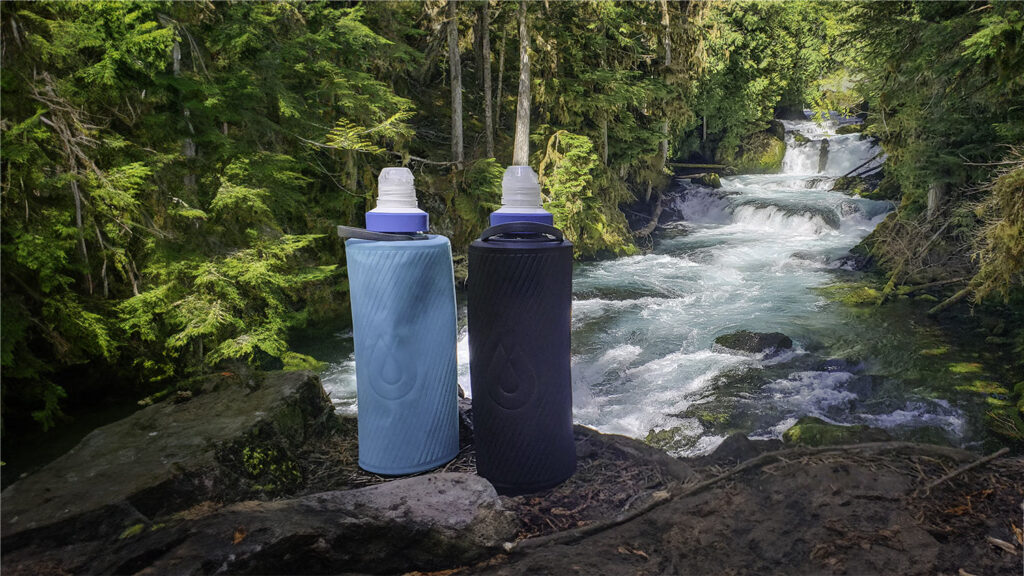
Water
According to Joshua Tree NP, you should plan to carry all the water you will need for your hike. Natural water sources are scarce, easily polluted, and should not be used. We recommend carrying at least one gallon (4 liters) of water per person for a full-day in the heat.
Backpacking In The Park
Although most people visiting Joshua Tree are looking to day hike, there are some wonderful opportunities to get away from the crowds and spend a night under the stars. The lack of reliable water sources usually limits people to no more than 1-2 nights in the backcountry, so plan accordingly to avoid putting yourself in a dangerous situation.
Before you head out into the fragile desert backcountry, we highly recommend brushing up on Leave No Trace guidelines as they pertain to the desert. There are no designated backcountry campgrounds in Joshua Tree. That said, the park strongly encourages you to select the most durable possible location to pitch your tent. Sleeping and cooking areas should be on flat rocks, in sandy washes (except in the case of flash flood threat), or under trees. Campsites must be at least one mile from any trailhead or road and 500 feet from trails or water sources (seeps, springs, oases).
You’ll need to register for a backcountry permit before heading out. For more information on backpacking in Joshua Tree, please visit the NPS.gov backpacking page.