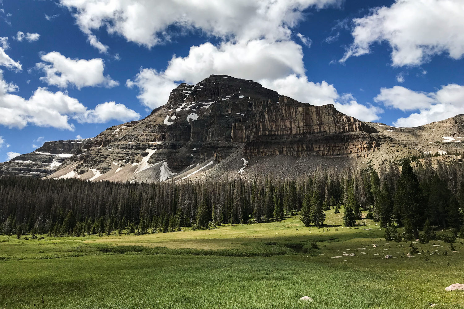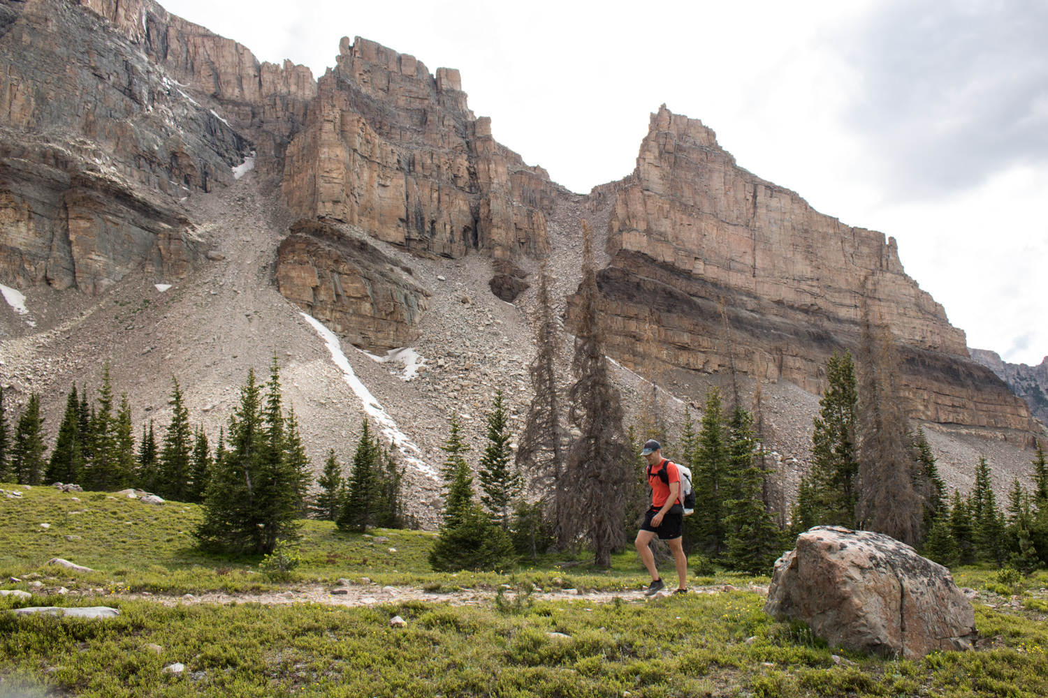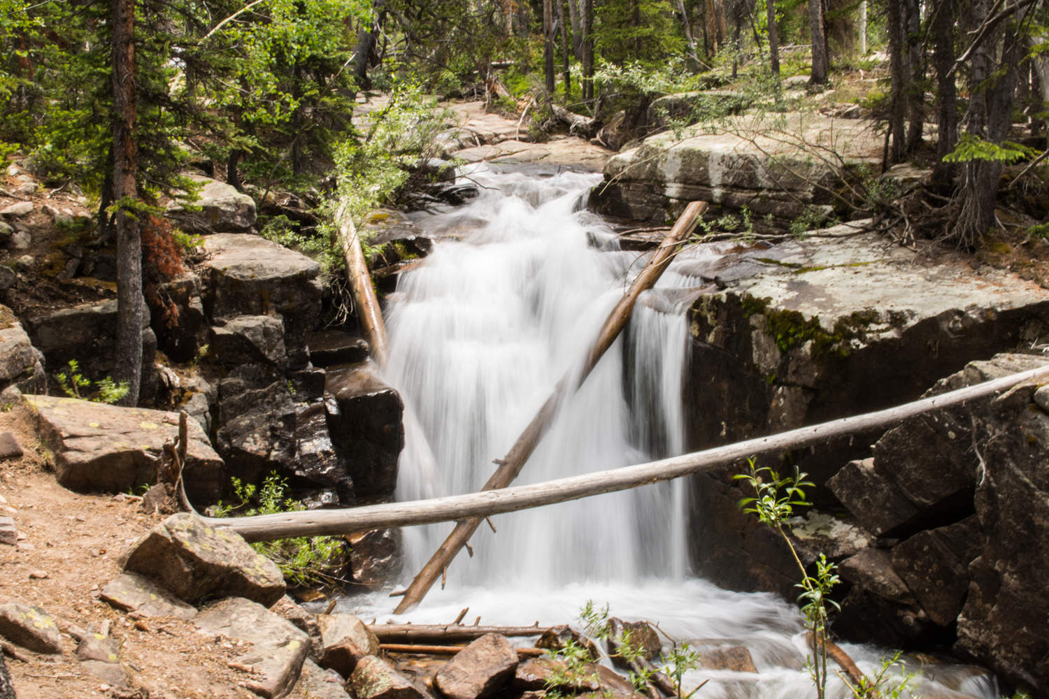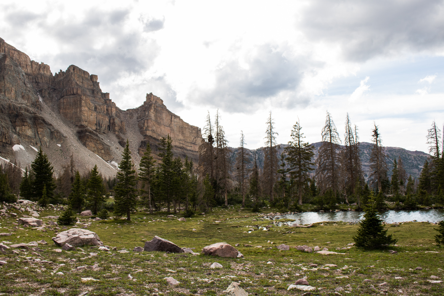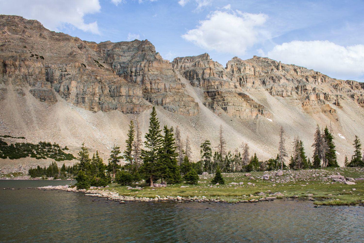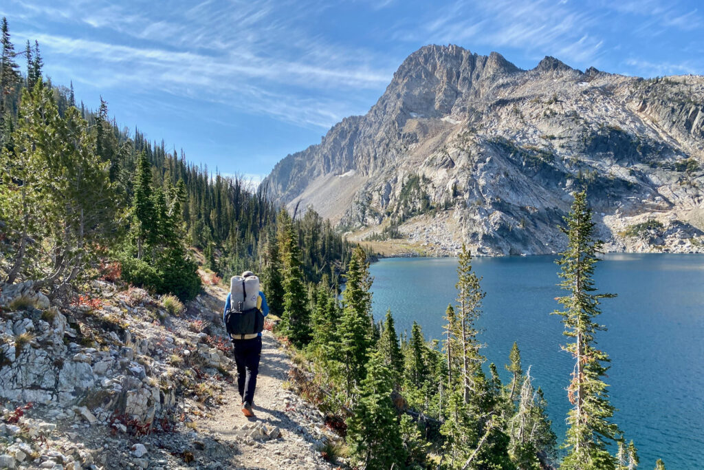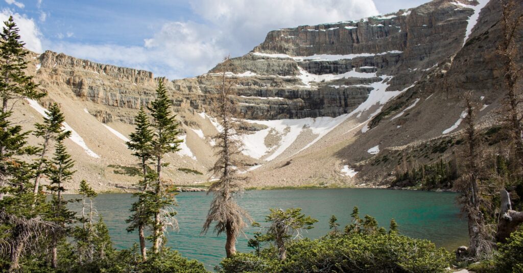
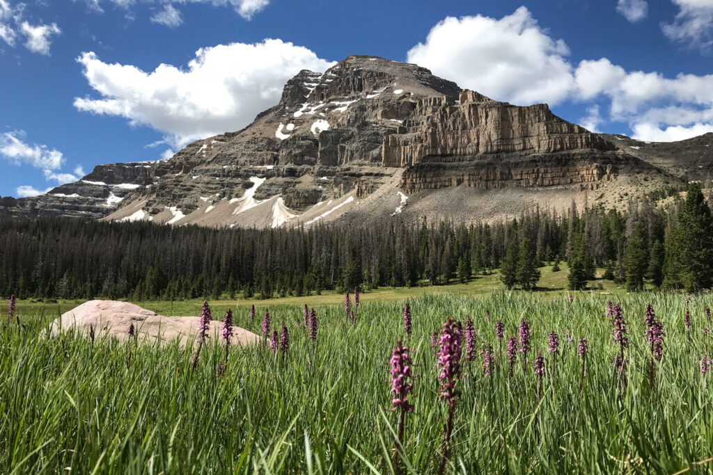
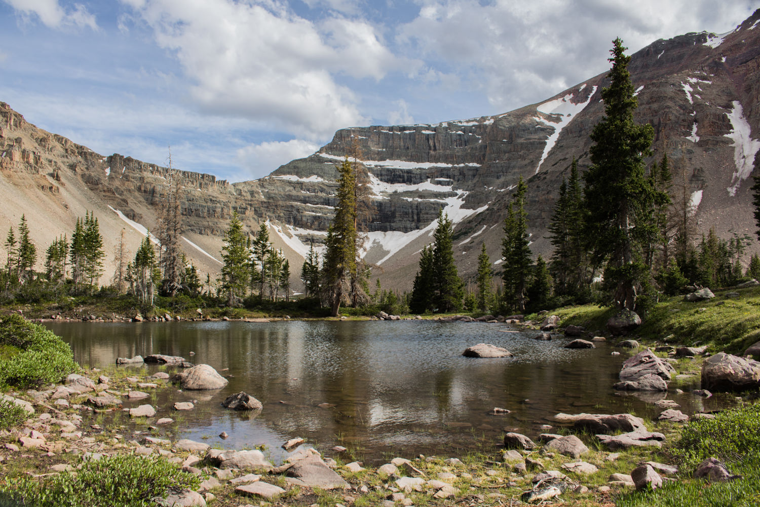
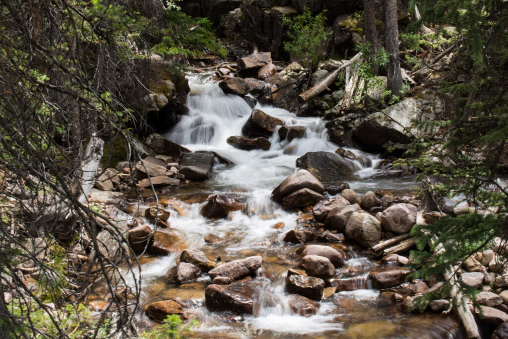
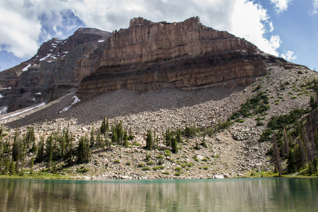
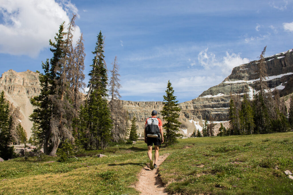
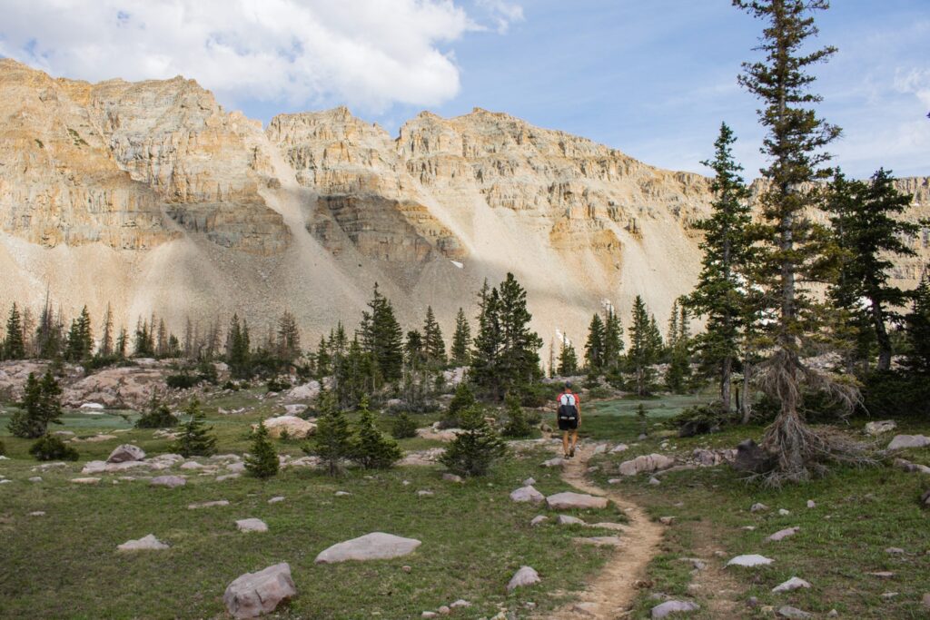
The High Uinta Wilderness is home to a plethora of great backpacking options. A hike to Amethyst Basin is among the very best. Moderately challenging, this hike takes you up to a high alpine lake with gorgeous campsites. The trail follows the Stillwater and Ostler Forks of the Bear River as it ascends about 2050 feet, passing beautiful waterfalls on the way to a stunning cirque basin. The meadow-framed basin rewards backpackers with a glistening alpine lake with panoramic views of Ostler and Hayden Peaks. Extra days allow time for climbing Ostler Peak or walking the entire perimeter of the lake.
Quick Facts
Distance: 13 miles (21 km), round-trip
Days Needed: 2-4 days (depending on itinerary add ons)
Elevation Gain/Loss: 2,050 feet (625 m)
Peak Elevation: 10,740 feet (3,273 m)
Best Travel Time: July – October
Highlights
- Wildlife, including elk, mule deer, black bear
- Fascinating geology
- Beautiful lake, waterfalls and rivers
- Heavy coniferous forest canopy
- Beautiful meadows and wildflowers
- Well-maintained trails
- Dogs allowed
- High-country lake fishing
Lowlights
- Muddy and rocky trails
- Armies of mosquitos and horseflies as well as ticks and yellow jackets
- Cold lakes make swimming tempting but challenging
- Giardia and campylobacter prevalent in streams and lakes
- Busy on weekends
Best Time to Travel
Surrounded by high desert, the Uintas normally receive about 40 inches of precipitation annually—mostly snow. If you hike during summer months above 10,000 feet, daytime highs rarely reach above 80 degrees, and night temperatures range between 30-40 degrees. Afternoon thunderstorms are fairly typical. Below treeline, summer temps range from mid-70s to the mid-90s during the day with nighttime temps rarely dipping below 40.
August is the busiest month for backpacking to the basins. Some years June and October are dry and pleasant, but be advised that fast and furious storms could arise in a hurry anytime. And lightening is a serious threat above treeline.
For local weather information below treeline, check the National Weather Service for the Uintas.
Difficulty
We rate most backpacking trips in this area as moderate. As always, difficulty ratings depend on the route you choose, experience, physical fitness, pack weight, and weather conditions. Although most routes in the Uintas are not technically demanding, you should always plan thoroughly, train properly, know your limitations, brush up on your skills, and dial in your gear. Doing so will make for a safer and more enjoyable adventure.
Permits
There is a $10 fee to travel Mirror Lake Highway for 3 days, free if you have an annual Mirror Lake Hwy or American Fork Canyon pass, or an annual National Park Pass. Make sure you hang your pass in your windshield at the trailhead (even in overflow parking) or you will get ticketed. No backcountry permit is required.
For more information contact the Uinta-Wasatch-Cache National Forest, Kamas office at (435) 783-4338 or the Evanston office at (307) 789-3194.
Trailhead
You’ll begin the hike to Amethyst Lake at the Christmas Meadows Trailhead.
From Salt Lake City, head east on I-80 through Parley’s Canyon. Just past Kimball Junction, take exit 146 for HWY 40. Drive another 3.5 miles and take exit 4, Kamas. At the first light in town, turn left. At the Chevron Station, turn right onto the Mirror Lake Highway. Drive 46 miles until you see the sign for Stillwater Campground. The unsigned turnoff for Christmas Meadows is 0.2 miles past the Stillwater Campground sign, to the right. You’ll immediately be on a dirt road signed UT 150. Travel 4 miles to the parking lot and trailhead.
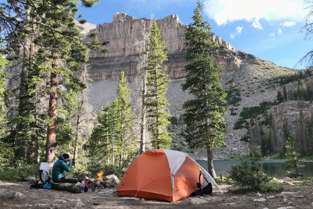
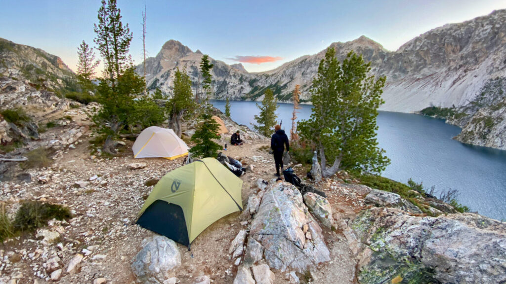
Campsites
- Second meadow on your way up to Amethyst Lake
- Small pond after the second meadow
- BR-24, about 1 mile at the end of the long meadow before you get to the lake (protection from the wind and fewer mosquitos).
- At the far end of Amethyst Lake below the peaks
Possible Itineraries
Two Day Itinerary
Starting Trailhead: Christmas Meadows
Ending Trailhead: Christmas Meadows
- Day 1 – Hike from Christmas Meadows to campsites on the far end of Amethyst Lake below the peaks
- Day 2 – Return to Christmas Meadows
Total Mileage – 12-13 miles (depending on where you camp)
Three Day Itinerary
Starting Trailhead: Christmas Meadows
Ending Trailhead: Christmas Meadows
- Day 1 – Hike from Christmas Meadows to campsites on the far end of Amethyst Lake below the peaks
- Day 2 – Hike around Amethyst Lake or climb as far up Ostler Peak as you feel comfortable.
- Day 3 – Return to Christmas Meadows
Total Mileage – 14-16 miles, depending on itinerary add ons
Four Day Itinerary
Starting Trailhead: Christmas Meadows
Ending Trailhead: Christmas Meadows
- Day 1 – Hike from Christmas Meadows to campsites on the far end of the lake below the peaks
- Day 2 – Hike 11 miles to Ryder Lake, camp
- Day 3 – Hike 11 miles back to Amethyst Lake, camp
- Day 4 – Return to Christmas Meadows
Total Mileage – 36 miles
Maps & Guidebooks
- Hiking Utah’s High Uintas: A Guide to the Region’s Greatest Hikes by Brett Prettyman, an outdoors editor for the Salt Lake City Tribune. This guide includes descriptions of 99 routes throughout the backcountry wilderness of Utah’s Uinta Mountains and High Uintas Wilderness, including easy day hikes to great fishing spots, adventurous treks to remote campsites, and extended backpacking trips for intrepid wilderness travelers.
- National Geographic High Uintas Wilderness Trails Illustrated Map This map covers the High Uintas Wilderness, as well as the Ashley and Wasatch-Cache National Forests. It features key points of interest and is printed on “Backcountry Tough” waterproof, tear-resistant paper. A full UTM grid is printed on the map to aid with GPS navigation.
- 60 Hikes Within 60 Miles: Salt Lake City by Greg Witt. This book includes many of the best hikes in the Western Uintas with detailed trail descriptions that range from easy strolls to challenging backpacks. Extensive key-at-a-glance information makes it easier to choose a hike based on length, difficulty, or scenery.
- Gaia Phone app GPS and Caltopo Mapping Software – We use both these services for many of our backpacking trips to assist with route planning (Caltopo) and on-trail navigation (Gaia).
Water
Water is plentiful along the trail to Amethyst Basin and accessible from small streams and lakes. Many sources look pure, but you must filter water because Giardia and Campylobacter are present in this area. Check out our best water filters list for recommendations.
Regulations
To be safe, read the forest service website for wilderness regulations, alerts, and closures in this area. As a rule of thumb, responsible backpackers
- Stay on designated trails and do not cut switchbacks.
- Select a campsite 200 feet from trails or streams.
- Wash their bodies and dishes away from water sources and only use biodegradable soap when necessary.
- Bury human waste and fish entrails 6-8″ deep and 200 feet away from water sources.
Critters & Food Storage
Black bears are present in this area, but bear cannisters are not required. That said, we recommend packages all your food and scented products in the Ursack Allmitey – the only Ursack rated for both bears and small critters. (Rodents are often more dangerous than Yogi and Smokey in the backcountry due to the diseases they carry).
Bugs
Mosquitoes are present along this route and can be pretty vicious, especially early in the season and near bogs and water sources. Hiking later in the season is often bug-free. Use a combination of permethrin on your clothing and bring a small bottle of picaridin or DEET for exposed skin to provide full protection.
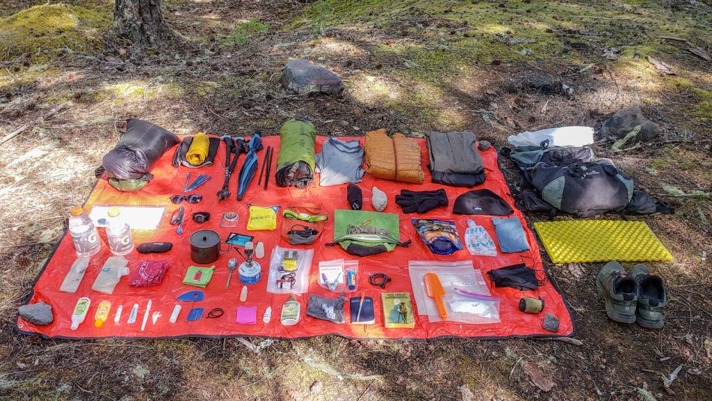
GEARING UP TO BACKPACK AMETHYST BASIN
Gear List
Make sure to check out our Ultimate Backpacking Checklist, so you don’t forget something important.
Below you’ll find our current favorite backpacking gear. If you want to see additional options, our curated gear guides are the result of many years of extensive research and hands-on testing by our team of outdoor experts.
BACKPACK
- Best Backpacking Pack Overall: Gregory Paragon 58 – Men’s / Gregory Maven 58 – Women’s
- Best Ultralight Backpacking Backpack: Hyperlite Mountain Gear Unbound 40
- More: Check out our best backpacking backpacks guide for ultralight and trekking options
TENT
- Best Backpacking Tent Overall: Big Agnes Copper Spur HV UL2
- Best Ultralight Tent: Zpacks Duplex
- Best Budget Tent: REI Half Dome 2
- Best Tent Stakes Overall: All One Tech Aluminum Stakes
- More: Check out our best backpacking tents guide for more options
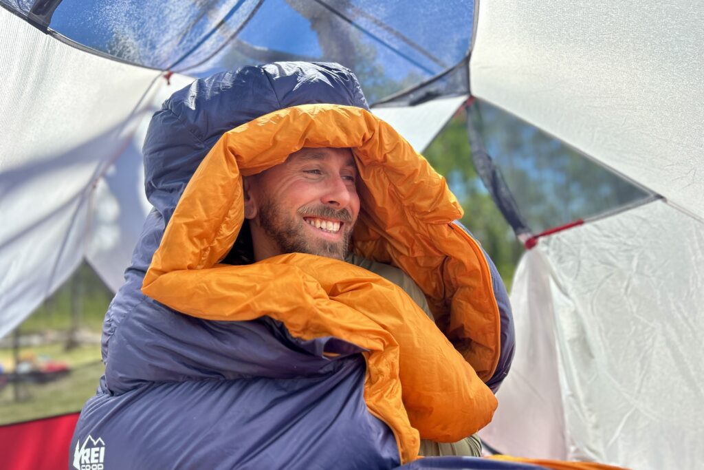
SLEEPING BAG/QUILT
- Best Sleeping Bag Overall: Men’s Feathered Friends Swallow YF 20 / Women’s Feathered Friends Egret YF 20
- Best Quilt Overall: Enlightened Equipment Revelation 20
- More: Check out our best backpacking sleeping bags guide and best backpacking quilts guide for more options
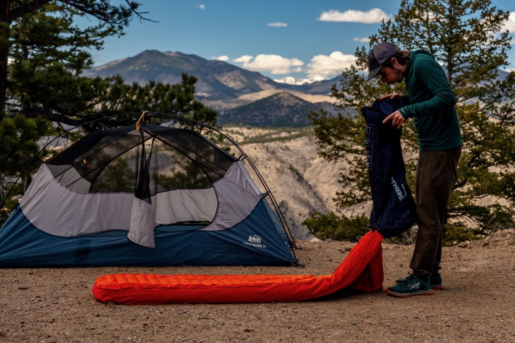
SLEEPING PAD
- Best Sleeping Pad Overall: NEMO Tensor All-Season
- Best Foam Sleeping Pad: NEMO Switchback
- More: Check out our best backpacking sleeping pads guide for ultralight and trekking options
CAMP KITCHEN
- Best Backpacking Stove Overall: MSR PocketRocket 2
- Best Backpacking Cookware Overall: TOAKS Titanium 750ml
- Best Backpacking Coffee Overall: Starbucks VIA
- More: Check out our best backpacking stoves guide and best backpacking cookware guide for ultralight and large group options
WATER & FILTRATION
- Best Water Filter Overall: Sawyer Squeeze
- Best Hydration Bladder Overall: Gregory 3D Hydro
- Best Backpacking Water Bottles: Smartwater Bottles
- More: Check out our best backpacking water filters guide and best backpacking water bottles guide for ultralight and large group options
CLOTHING
- Best Hiking Pants Overall: Men’s Outdoor Research Ferrosi / Women’s The North Face Aphrodite 2.0
- Best Hiking Shorts Overall: Men’s Patagonia Quandary / Women’s Outdoor Research Ferrosi
- Best Women’s Hiking Leggings: Fjallraven Abisko Trekking Tights HD
- Best Rain Jacket Overall: Men’s Patagonia Torrentshell 3L / Women’s Patagonia Torrentshell 3L
- Best Rain Pants: Men’s Patagonia Torrentshell 3L / Women’s Patagonia Torrentshell 3L
- Best Down Jacket Overall: Men’s Patagonia Down Sweater Hoodie / Women’s Patagonia Down Sweater Hoodie
- Best Fleece Jacket Overall: Men’s Patagonia Better Sweater / Women’s Patagonia Better Sweater
- Best Sunshirt Overall: Men’s Outdoor Research Echo / Women’s Outdoor Research Echo
- Best Socks Overall: Men’s Darn Tough Light Hiker Micro Crew / Women’s Darn Tough Light Hiker Micro Crew
- Beste Ultralight Liner Glove: Patagonia Capilene Midweight Liner
- More: Check out our best backpacking apparel lists for more options
FOOTWEAR & TRACTION
- Best Hiking Shoes Overall: Men’s HOKA Speedgoat 6 / Women’s HOKA Speedgoat 6
- Best Hiking Boots Overall: Men’s Salomon X Ultra 5 GTX / Women’s Lowa Renegade Evo GTX
- Best Hiking Sandals Overall: Men’s Chaco Z/1 Classic / Women’s Chaco Z/1 Classic
- Best Camp Shoes Overall: Crocs Classic Clogs
- Best Traction Device for Hiking Overall: Kahtoola MICROspikes
- More: Check out our best backpacking footwear lists for more options
NAVIGATION
- Best GPS Watch Overall: Garmin Instinct 2 Solar
- Best Personal Locator Beacon (PLB): Garmin inReach Mini 2
- More: Check out our article How to Use Your Phone as a GPS Device for Backpacking & Hiking to learn more
FOOD
FIRST-AID & TOOLS
- Best First-Aid Kit Overall: Adventure Medical Kits Ultralight/Watertight .7
- Best Pocket Knife Overall: Kershaw Leek
- Best Multitool Overall: Leatherman Wave+
- Best Headlamp Overall: Black Diamond Spot 400-R
- Best Power Bank Overall: Nitecore NB 10000 Gen 3
- More: Check out our best first-aid kit guide, best pocket knife guide, best multitool guide, best backpacking headlamps guide, and best power banks guide for more options
MISCELLANEOUS
- Best Trekking Poles Overall: Black Diamond Pursuit
- Best Backpacking Chair Overall: REI Flexlite Air
- Best Backpacking Stuff Sack Overall: Hyperlite Mountain Gear Drawstring
- More: Check out our best trekking poles guide, best backpacking chairs guide, and best stuff sacks guide for more options
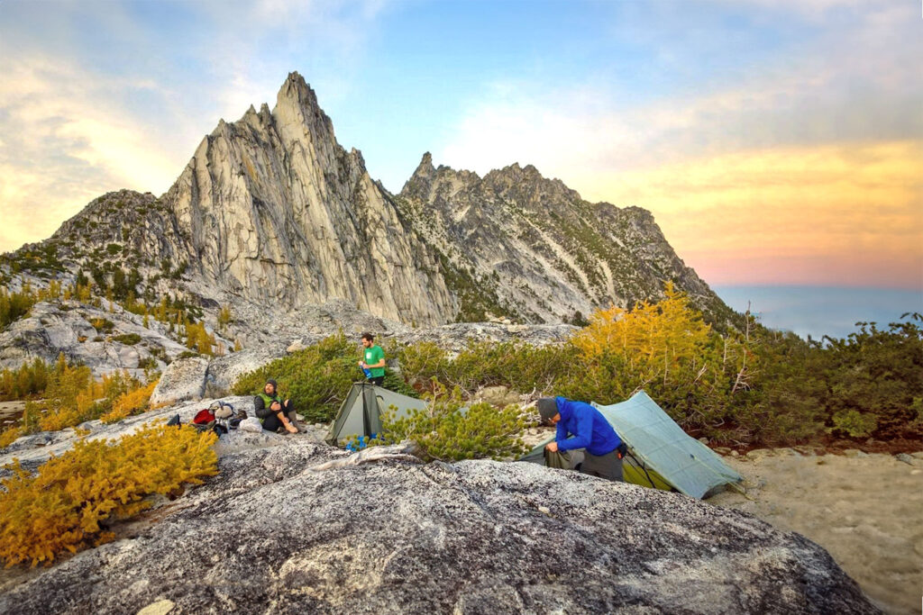
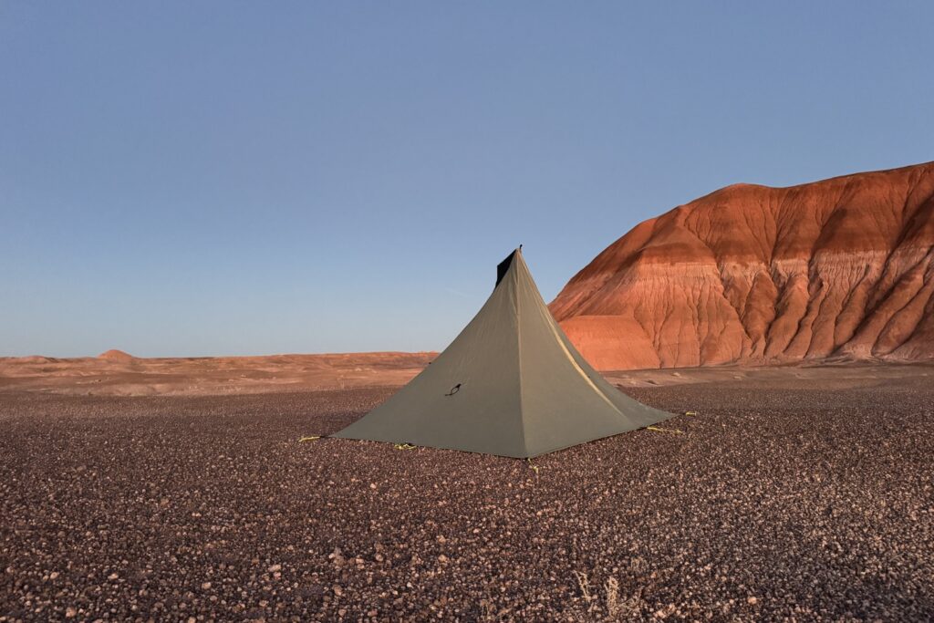
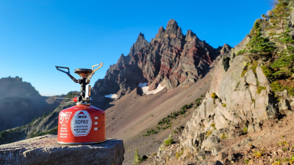
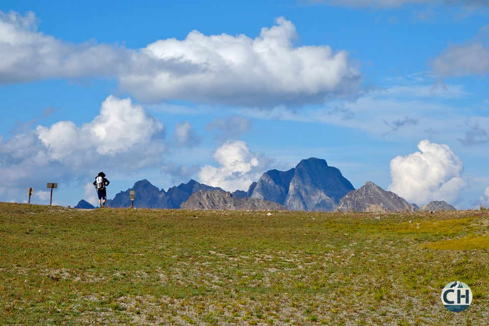
Amethyst Basin Photo Gallery