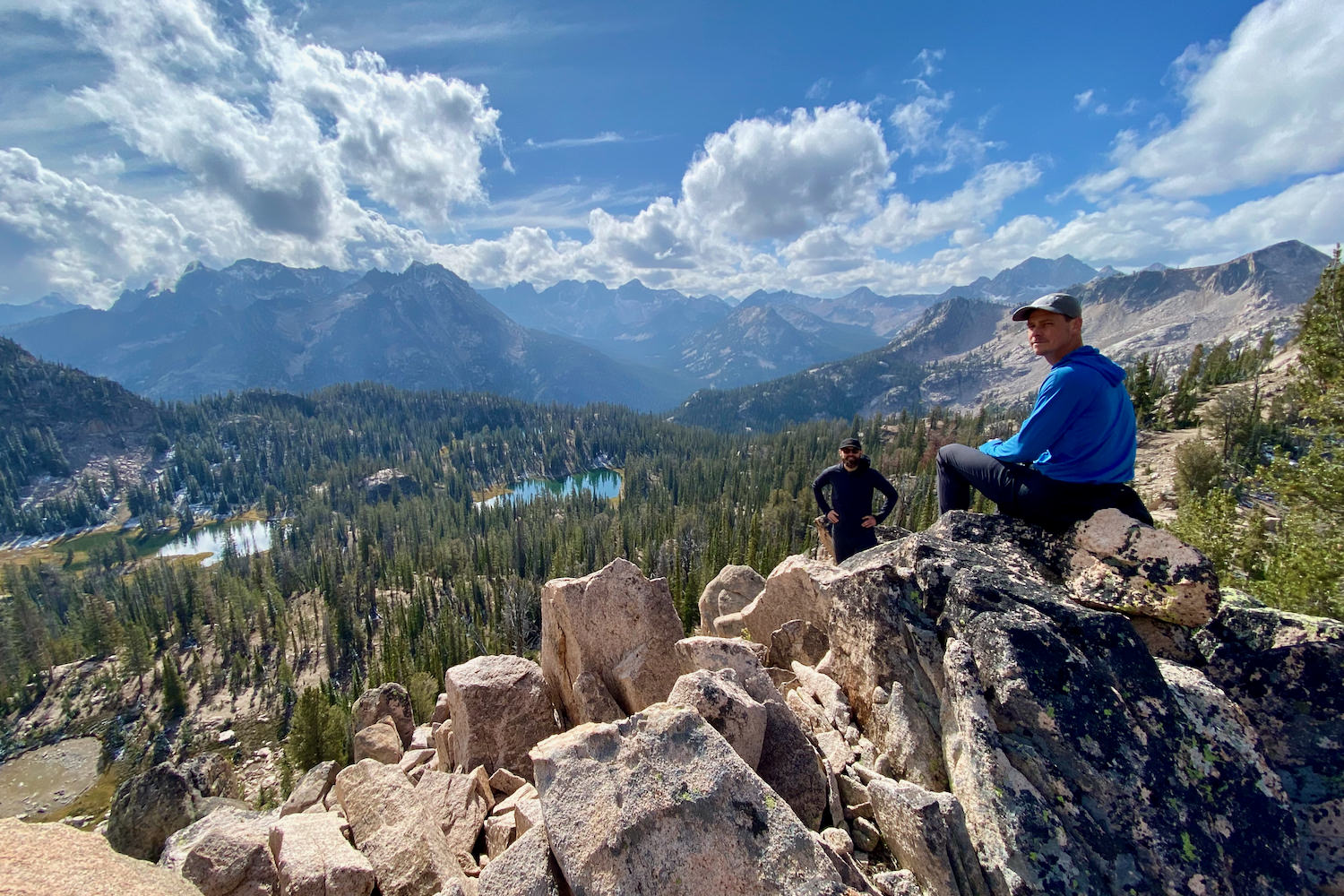

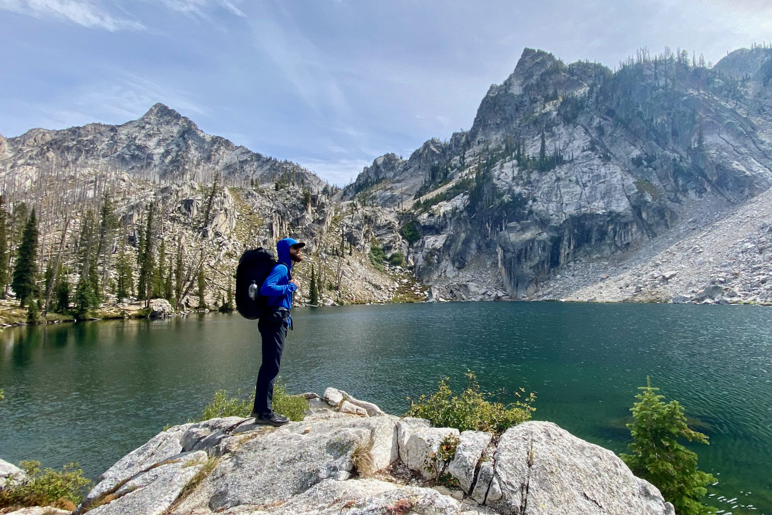
The Grand Sawtooth Loop is one of Idaho’s most exhilarating and burly backcountry trails. It’s a gratifying route that promises a big adventure through some of Idaho’s most challenging and beautiful landscapes. You’ll spend day after day surrounded by high alpine lakes, majestic mountain passes, and craggy, towering peaks. At 60+ miles and 12,000’+ of gain, this trail is no cakewalk, but the wild views of the Sawtooth Range will exceed your highest expectations. Whether you’re a seasoned backpacker or an occasional adventurer, the Grand Sawtooth Loop offers everything you could want in a multi-day backpacking trip.
Quick Facts
- Distance: 60 to 70 miles (add or subtract mileage for side trips and route variations)
- Days needed: 5-7 days
- Type: Loop
- Elevation gain: 12,340 ft
- Best travel time: Late summer to early fall (mid-July to mid-September depending on weather)
- Permits: No advanced permits required. Free permits available at trailhead.
- Difficulty: Very challenging

Highlights
- Stunning alpine lakes and mountain vistas
- Convenient permit system with no advanced booking required
- Numerous side trip opportunities and options for shorter loops
- Spectacular wildflower displays in spring and summer
- Wildlife sightings from birds and deer to elk and coyotes
- Well-maintained and mostly well-marked trails
Lowlights
- Burn area near the beginning of the route
- Crowded along some sections of trail and at popular camping spots – especially during summer weekends
- Mosquitoes and flies in spring and summer
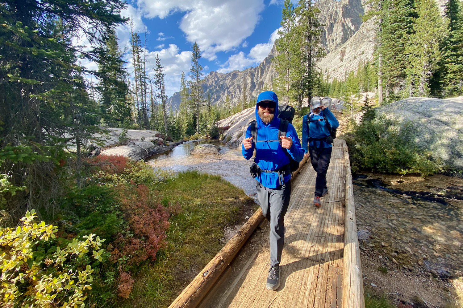
- Lots of climbing, including steep ascents and descents with elevation gain/loss of around 3,000 feet or more per day
- There are a few rivers to ford along the route
- Exposed high-elevation sections of trail
Best Time to Hike
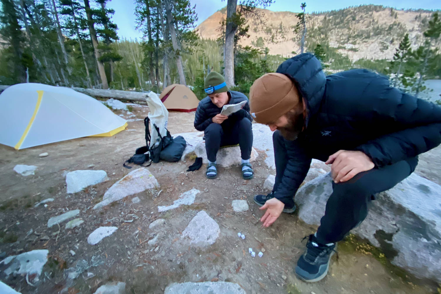
The best time to tackle the Grand Sawtooth Loop is in the early summer to early fall, ideally from mid-July to mid-September. You can backpack a bit before or after those dates but plan on colder temperatures and snow. Like most high mountains, spring can mean postholing through lingering snow banks and fall can mean fresh, icy snow and cold winds.We hiked the full loop and all side trips in late September. The weather was in the 30s at night and 40s to 50s during the day. The weather was an appropriate fall mix of sunny, calm days and days with low-hanging clouds, light rain, frost, and a dusting of snow. With the right gear, we stayed warm and enjoyed the quiet, uncrowded trails.
Difficulty
We rate the Grand Sawtooth Loop as very challenging due to the significant amount of elevation gain and loss. Trails through this beautiful area are established, maintained, and well-graded. But with around 3,000 feet of ascent and descent every day, expect to be constantly hiking up or down over the course of the loop. There are very few flat sections.Of course, difficulty depends on your experience, physical fitness, pack weight, and weather conditions. If your backpack is heavy, your hike will be more challenging. Scroll to the bottom of this article to see our lightweight gear recommendations that will make your hike happier. If you’re looking to shed some weight from your kit, check out our guide for Ultralight Backpacking Basics.

Permits
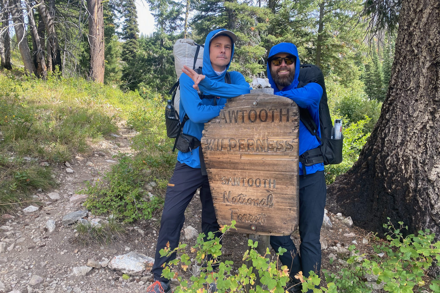
A permit is required to hike the Grand Sawtooth Loop. They are free to pick up in person at the trailhead. You do not need to book in advance but do bring the permit along when you head up the trail.
Getting There
The Grand Sawtooth Loop is located in central Idaho about 2.5 hours from Boise, the biggest city in the state. The following directions are for getting to the Grandjean Campground Trailhead. This is the best starting point for accessing the Grand Sawtooth Loop. Access to the turnoff for Grandjean Campground is paved. The last 6 miles is a dirt road that’s no problem for 2WD vehicles, although we recommend a vehicle with some clearance. Like most dirt Forest Service roads you’ll need to navigate rogue rocks, bumpy grading, and occasional potholes.
From Boise – It’s about two and a half scenic hours to drive east from Boise to Grandjean Campground. You’ll enjoy a stunning drive through old-growth ponderosa stands and the rolling hills of Boise National Forest. Take Highway 55 North out of Boise and follow it for about 34 miles. Take a right onto County Highway 17 / Lowman Road. Stay on County Highway 17 for about 33 miles, then turn left onto Highway 21 North. After about 21 miles, follow the signs for Grandjean Campground and turn right onto Grandjean Road. The road will turn to dirt. Drive 5.6 miles until the road ends at the campground and trailhead.
From Missoula – From the north, you’ll enjoy a slow, winding approach into Idaho’s central wilderness. It’s about six hours to drive south from Missoula to Grandjean Campground. From Missoula, follow US 93 South for 136 miles. At US-93 South / South Challis Street, turn right, and continue for 60 miles. Next, turn right onto Highway 75 South and drive into the Idaho Rockies for 55 miles. When you reach the small mountain town of Stanley, turn right onto Highway 21 South for 37 miles. Follow the signs for Grandjean Campground and turn left onto Grandjean Road. The road will turn to dirt. Drive 5.6 miles until the road ends at the campground and trailhead.
From Twin Falls – If you’re arriving from the south, Sawtooth National Forest is full of impressive vistas and wildflower-filled meadows. It’s about 3 hours and 45 minutes to drive. From Twin Falls, take Highway 93 North for 27 miles. When you reach Shoshone, Idaho, Highway 93 turns into Highway 75, but you’ll continue north on the same road 116 miles to Stanley, Idaho. Take a left onto Highway 21 South for 37 miles. Follow the signs for Grandjean Campground and turn left onto Grandjean Road. The road will turn to dirt. Drive 5.6 miles until the road ends at the campground and trailhead.
Maps & Guidebooks
PHYSICAL RESOURCES
We recommend always carrying a paper copy of a map in addition to using a GPS app on your phone. You can download or purchase maps and guides through the following links:
- Backpacking Idaho: From Alpine Peaks to Desert Canyons – This is an indispensable guidebook for research on the Grand Sawtooth Loop.
- Hiking Idaho’s Sawtooth Country – Another helpful guidebook for exploring trails in the Sawtooth, White Cloud, and Salmon River Mountains. Helpful tips and hikes for families and kids.
- Sawtooth Society Maps – The Sawtooth Society is a nonprofit organization focused on preserving and enhancing recreation in the Sawtooth National Recreation Area. They offer excellent PDFs and downloadable resources, including a trail map.
- Forest Service Topography Maps – Sturdy maps for studying trails and the many ups and downs of the Grand Sawtooth Loop.
- National Geographic Map – Reliably thorough, colorful, waterproof, and tear-resistant maps for the Sawtooth National Recreation Area.
DIGITAL RESOURCES
Your phone is one of the most powerful ways to research a new outdoor adventure, plan your hiking route, then track your whereabouts on the trail. For tips on how to use your phone as a backpacking GPS, see our How to Use Your Phone as GPS Device guide.
- Avenza (Android or iPhone) – Consider downloading the Avenza phone app and purchasing the Sawtooth & Whitecloud Mountains, Idaho Trail Map. For $7, these maps cover the Grand Sawtooth Loop and the larger National Recreation Area. Similar to other top GPS apps, Avenza allows you to live-track your location. That’s super helpful at trail intersections with confusing signage or when you’re unsure which left you should take. Android and iPhone friendly.
- Gaia Maps – If you don’t want to pay for an app but still want powerful tracking features with a detailed, free offline map, Gaia is a great choice. But you’ll need to load a pre-made route ahead of time from an outside source or create your own. Android and iPhone friendly.
- CalTopo – CalTopo is one of our favorite resources for printing out topographical maps and designing, planning, and uploading specific routes. Android and iPhone friendly.
- Topo Maps+ – Topo Maps+ also offers a wide variety of trail maps and excellent on-trail navigational features. iPhone only.
Regulations
If you’re heading on an adventure in the Idaho Sawtooths, review the current rules and restrictions on the Forest Service Sawtooth National Recreation Area website.
PERMIT
You will need a permit to backpack the Sawtooths, but it’s free and can be obtained at the trailhead.
LEAVE NO TRACE
Reducing our impact on the natural world not only protects us but preserves wildlife habitats and the environment. No matter where you’re camping, hiking, or backpacking, always practice Leave No Trace principles.
DOGS
Dogs on a leash are allowed on the Grand Sawtooth Loop. However, we recommend getting a pet sitter: this is a tough route for furry pals. Huge elevation gains, long distances, plenty of wildlife, and unpredictable weather can make an already challenging hike more difficult with Fido.
It’s vital to cater backcountry trips around your pup to keep both of you comfortable, safe, and enjoying the journey. If your four-legged friend is joining the pack, take a look at our guide of 14 Tips for Hiking & Backpacking With a Dog.
CAMPFIRES
While campfires are allowed in specific places, we recommend skipping them altogether. Gas stoves are more efficient, safer, and faster for cooking. Because this area is so heavily forested and remote, wildfires can start easily and become very large, very fast. Fires are banned off-trail from July 1 until Labor Day, and there are year-round bans that apply to specific areas and drainages.Per the Forest Service, there are no ground fires allowed anywhere in the Sawtooth Wilderness. Campfires in the Sawtooths are only allowed on a fire pan, fire blanket, or in designated fire pits. Be sure to check the fire stage levels as well as conditions and notices for the Sawtooth area ahead of time. And, check out our Campfire Safety Tips Guide for fire safety tips.
Water
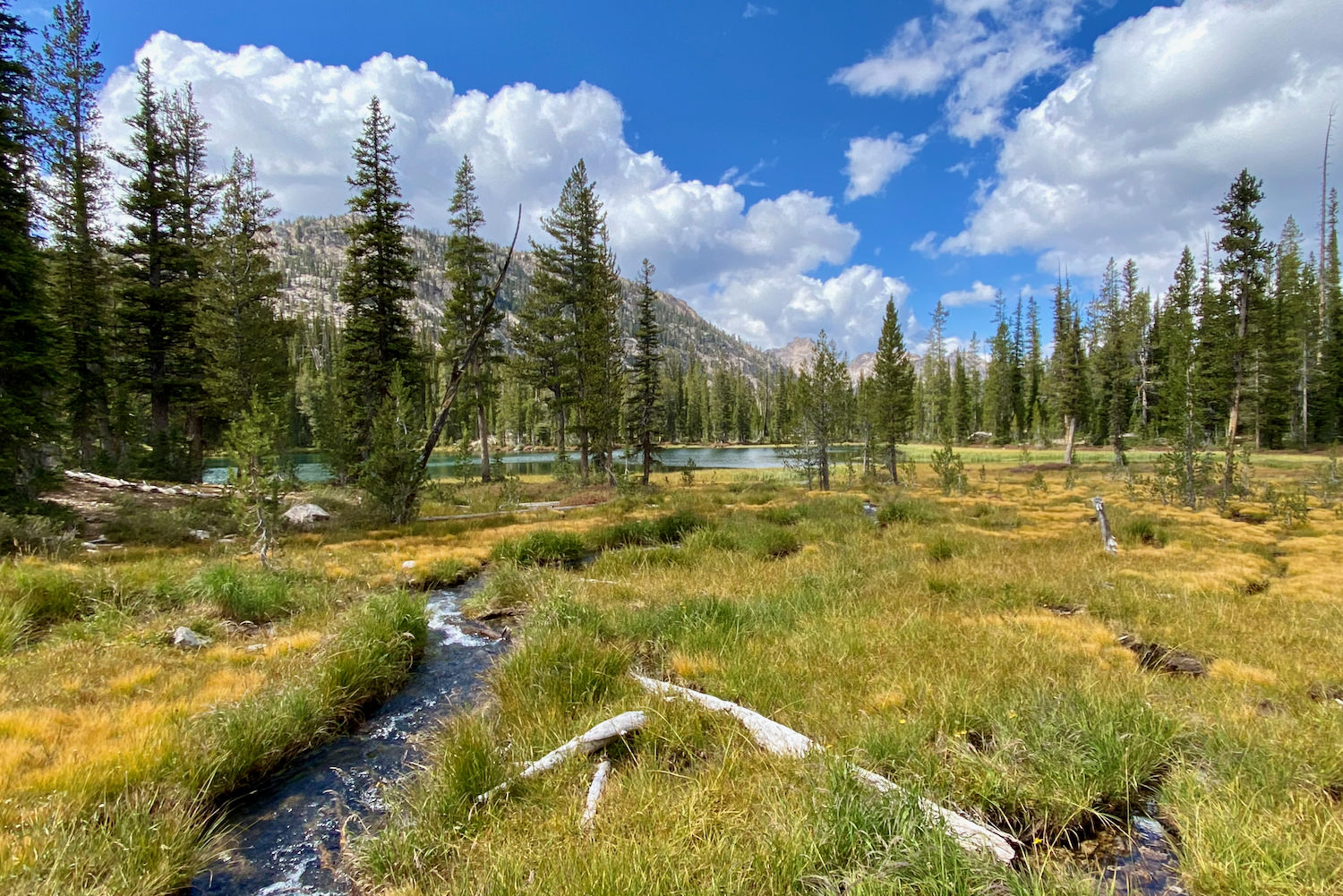
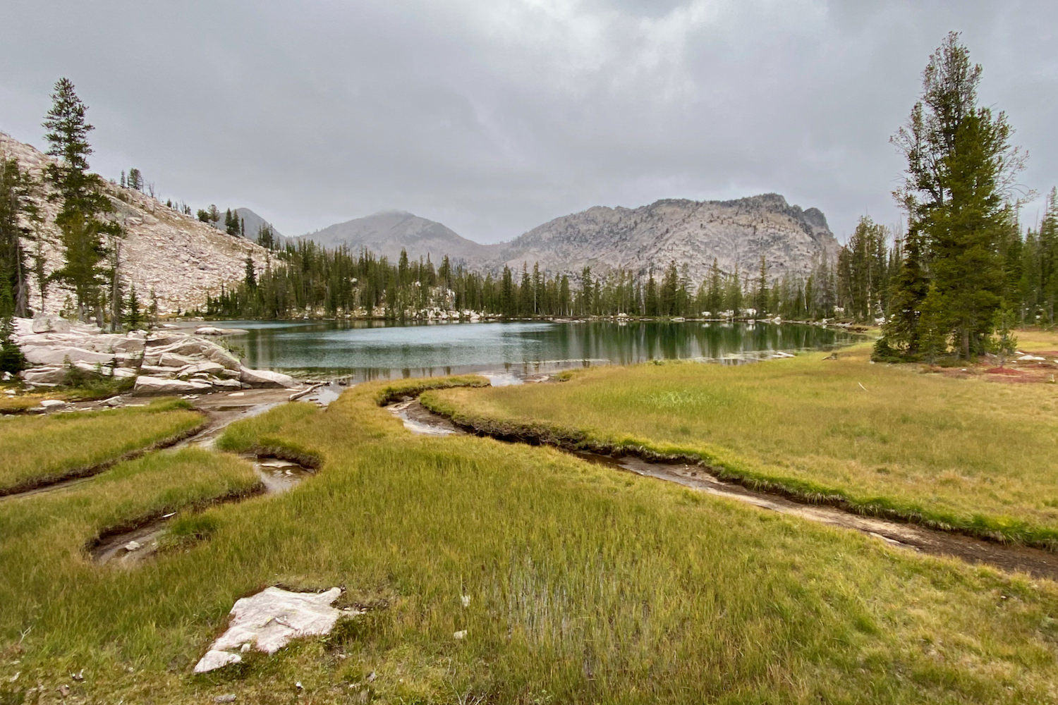
Water is plentiful along this route. The trail follows streams and creeks almost the entire way, and most nights you’ll camp near high alpine lakes. We found there were very few stretches over our 5-day hike where there wasn’t access to fresh, flowing water. But, even the cleanest Idaho snowmelt and spring-fed creeks need to be filtered. Check out our top picks for water filters to keep your backpack gear weight down and your hydration levels up. To make hydration even easier on the trail, consider bringing along an electrolyte mix from our Best Hydration Mixes guide.
Camping
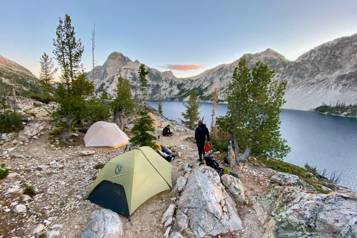
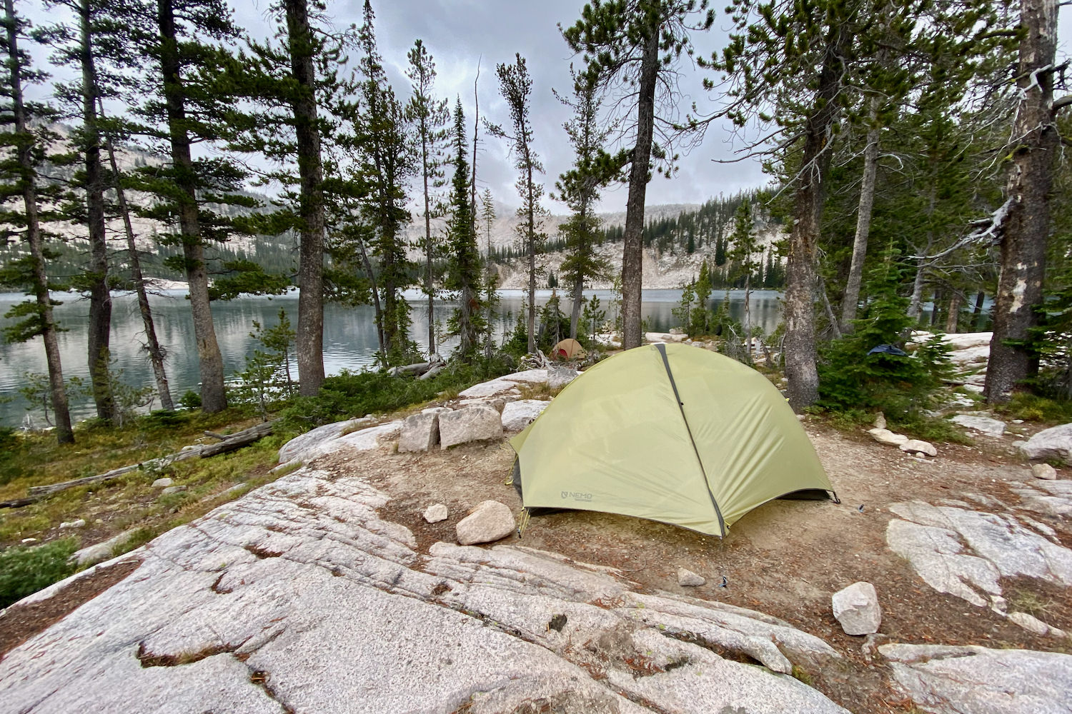
Camping in Idaho’s Sawtooth Wilderness offers a wide range of options. Whether you’re looking for a protected site in the treeline of a deep river valley, or you’d prefer to sleep under the stars next to a calm alpine lake, campsites are well-used and plentiful on this route. We recommend choosing an impacted site 100 feet away from lakes, rivers, and trails.
DISPERSED CAMPING
Dispersed camping is permitted throughout the backcountry. No camping reservations are needed, but you’ll need a wilderness use permit for traveling through the Sawtooth Wilderness.
CAMPSITE AVAILABILITY
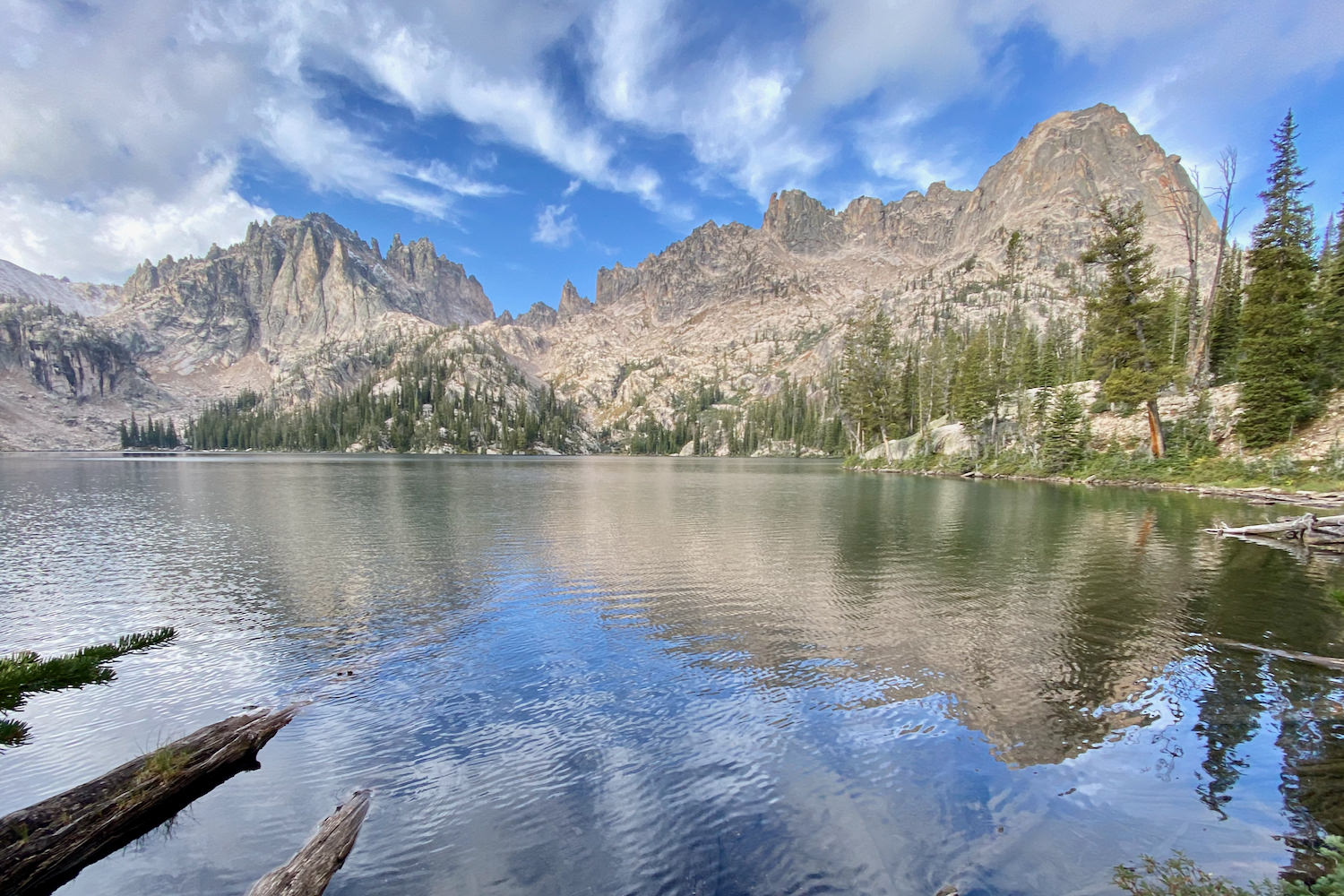
Campsites are easy to find on the Grand Sawtooth Loop. They are first come, first served. Most lakes are lined with gorgeous spots for pitching a tent, but these areas tend to be crowded and popular. This is especially true for picturesque places like Sawtooth Lake, Bear Lakes, and Lake Edna. There are many more private, protected, and equally scenic spots throughout the river valleys, along streams, and near trail intersections.
QUALITY OF CAMPSITES
The quality of these campsites is generally good, and many are clean and well-maintained. We had no trouble finding flat, quiet campsites with spectacular views near water and out of the wind. Unfortunately, some of the most developed sites were not only less than 100 feet from bodies of water but had damaged vegetation and eroded soil from overuse.
AMENITIES
The Sawtooth Wilderness does not offer facilities or amenities. There are no toilets, fire rings, or picnic tables, so all visitors should be prepared to follow Leave No Trace principles. It’s especially important to manage human waste responsibly in wild places. To brush up on your backwoods bathroom skills, check out our Backpacker’s Guide to How to Poop in the Woods.
CELL SERVICE
Cell service is very limited or nonexistent before arriving at the trailhead, so be sure to download all maps ahead of time.
HOW TO FIND A CAMPSITE
If you’re a planner, guidebooks are helpful for narrowing down the most gorgeous places to pitch a tent, and there are some maps online to locate specific campsites. We recommend using topographic tools like Gaia or CalTopo to choose a lake or an area where you will spend the night, then staying flexible once you arrive: some of our favorite campsites were not well-marked on resources.
OUR FAVORITE SITES
There are a plethora of campsites along the Grand Sawtooth Loop. Here are a few of our favorites:
- Trail Creek Lakes – This short side trip adds about .6 miles and around 400 feet of climbing for several good-to-excellent campsites near the spectacular Trail Creek Lakes. Also consider adding the short, steep cross-country scramble to Upper Trail Creek Lake.
- Baron Lakes – The dramatic Baron Lakes offers superb views of numerous granite spires and cliffs. These campsites are usually busy and popular, but we found a less crowded and scenic camping option just before the lake.
- Ardith Lake – This is also a popular lake with numerous stellar campsites offering scenic views. Horse parties are common here.
- Smith Falls – Wide, roaring Smith Falls is worth more than just a side trip. Consider an overnight stay near campsites just upstream from the wide, captivating waterfalls.
Route
ROUTE DIRECTION
From Grandjean trailhead and campground, you can complete the loop clockwise or counterclockwise:
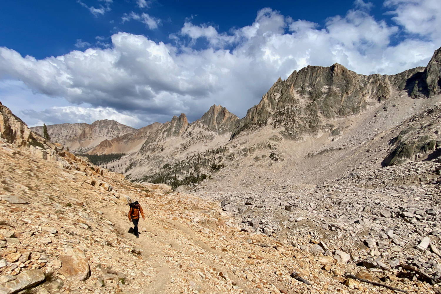
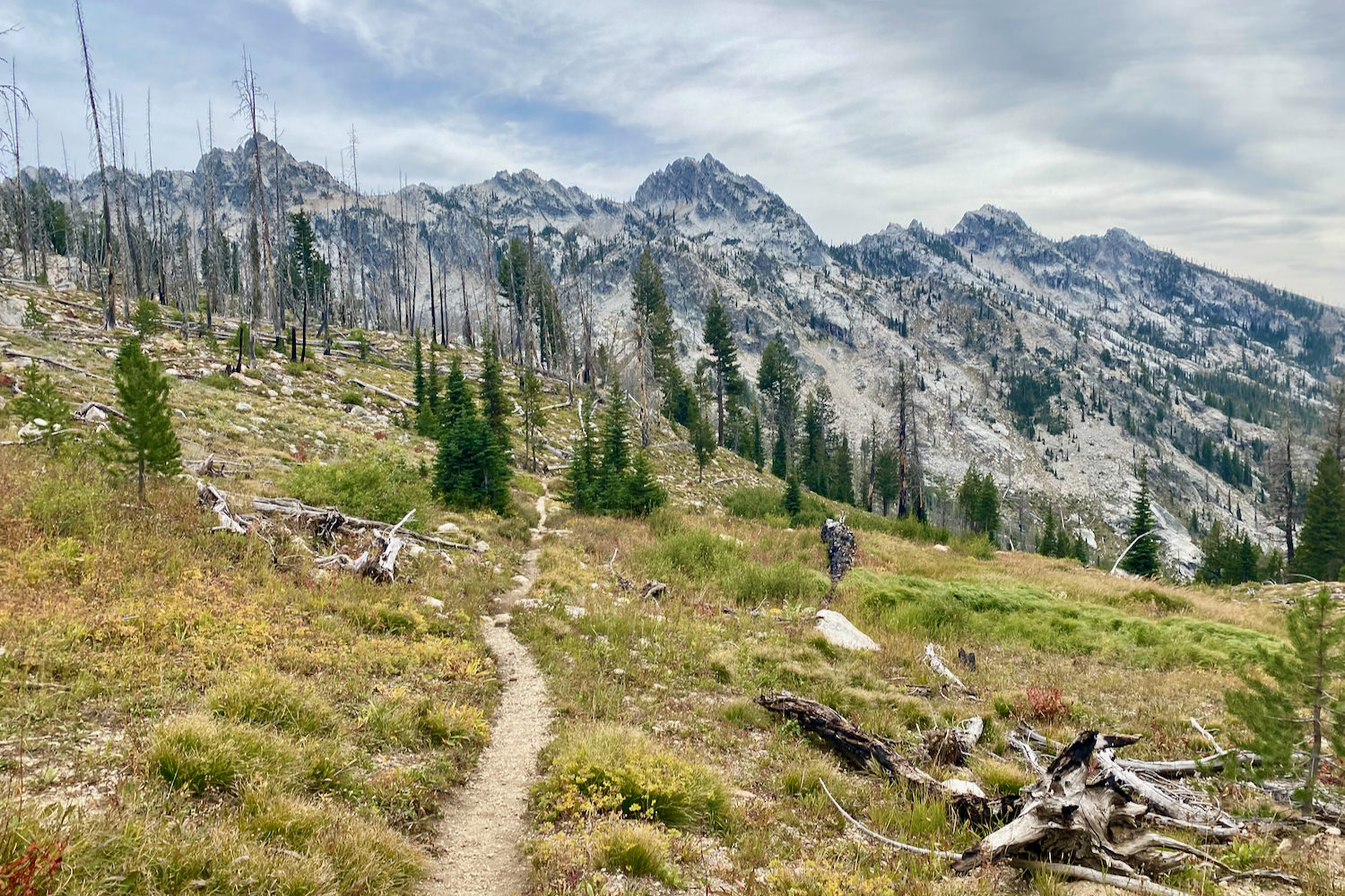
- Clockwise – We went clockwise. This is the more popular option because access to huge mountain vistas and clear alpine lakes is relatively short for both day hikers and backpackers.e We recommend this direction because we were immediately immersed in the most awe-inspiring and jagged peaks in the Sawtooths. The trail climbs a steep 2800’ on day one, but the final 20 miles were more relaxed and level en route to the trailhead.
- Counter-Clockwise – Reversing the direction of approach means an easier start with a long and gradual ascent over the first 20 miles. Since you start off on more mellow terrain, the scenery will become more dramatic and gorgeous day after day as you head to the most rugged parts of the trail.
One of the real highlights of the loop, Sawtooth Lake, will be near the end of the trip if you’re traveling counter-clockwise. This lake, framed by rough, tall peaks, is one of the most jaw-dropping views in the area. The trail would also end with one of the biggest descents of the trip back to the trailhead at nearly 3,000 feet.
RECOMMENDED ADD-ONS
These are optional, highly recommended mountains and lakes to consider adding to your hike.
- Trail Creek Lakes – Adds 1.2 miles and 400 feet round trip. This is a beautiful lake basin in a burn area surrounded by jagged peaks.
- Observation Peak – Adds 2.5 miles and 1,100 feet round trip. 9,151-foot Observation Peak is the only peak in the Sawtooths with a class one trail that goes to the summit. It offers some of the best views in the range and is worth the adventure.
- Sand Mountain Pass – Adds 3.2 miles and 800 feet round trip. This is a worthwhile side hike to a pass with incredible views of the surrounding high ridges, blue lakes, and thick evergreen forests.
- Three Island Lake – Adds 1 mile and 300 feet round trip. Three Island Lake is a deep, rich blue lake framed by sensational Peak 9785, named for its elevation.
- Everly & Plummer Lakes – Adds 4 miles and 850 feet round trip. These clear blue lakes are real gems in the Sawtooth. They’re smaller, remote, and further from the main circuit and offer more solitude than other campsites on the Loop.

What Gear Should I Pack?
Make sure to check out our Ultimate Backpacking Checklist, so you don’t forget something important.
Below you’ll find our current favorite backpacking gear. If you want to see additional options, our curated gear guides are the result of many years of extensive research and hands-on testing by our team of outdoor experts.
BACKPACK
- Best Backpacking Pack Overall: Gregory Paragon 58 – Men’s / Gregory Maven 58 – Women’s
- Best Ultralight Backpacking Backpack: Hyperlite Mountain Gear Unbound 40
- More: Check out our best backpacking backpacks guide for ultralight and trekking options
TENT
- Best Backpacking Tent Overall: Big Agnes Copper Spur HV UL2
- Best Ultralight Tent: Zpacks Duplex
- Best Budget Tent: REI Half Dome 2
- Best Tent Stakes Overall: All One Tech Aluminum Stakes
- More: Check out our best backpacking tents guide for more options
SLEEPING BAG/QUILT
- Best Sleeping Bag Overall: Men’s Feathered Friends Swallow YF 20 / Women’s Feathered Friends Egret YF 20
- Best Quilt Overall: Enlightened Equipment Revelation 20
- More: Check out our best backpacking sleeping bags guide and best backpacking quilts guide for more options
SLEEPING PAD
- Best Sleeping Pad Overall: NEMO Tensor All-Season
- Best Foam Sleeping Pad: NEMO Switchback
- More: Check out our best backpacking sleeping pads guide for ultralight and trekking options
CAMP KITCHEN
- Best Backpacking Stove Overall: MSR PocketRocket 2
- Best Backpacking Cookware Overall: TOAKS Titanium 750ml
- Best Backpacking Coffee Overall: Starbucks VIA
- More: Check out our best backpacking stoves guide and best backpacking cookware guide for ultralight and large group options
WATER & FILTRATION
- Best Water Filter Overall: Sawyer Squeeze
- Best Hydration Bladder Overall: Gregory 3D Hydro
- Best Backpacking Water Bottles: Smartwater Bottles
- More: Check out our best backpacking water filters guide and best backpacking water bottles guide for ultralight and large group options
CLOTHING
- Best Hiking Pants Overall: Men’s Outdoor Research Ferrosi / Women’s The North Face Aphrodite 2.0
- Best Hiking Shorts Overall: Men’s Patagonia Quandary / Women’s Outdoor Research Ferrosi
- Best Women’s Hiking Leggings: Fjallraven Abisko Trekking Tights HD
- Best Rain Jacket Overall: Men’s Patagonia Torrentshell 3L / Women’s Patagonia Torrentshell 3L
- Best Rain Pants: Men’s Patagonia Torrentshell 3L / Women’s Patagonia Torrentshell 3L
- Best Down Jacket Overall: Men’s Patagonia Down Sweater Hoodie / Women’s Patagonia Down Sweater Hoodie
- Best Fleece Jacket Overall: Men’s Patagonia Better Sweater / Women’s Patagonia Better Sweater
- Best Sunshirt Overall: Men’s Outdoor Research Echo / Women’s Outdoor Research Echo
- Best Socks Overall: Men’s Darn Tough Light Hiker Micro Crew / Women’s Darn Tough Light Hiker Micro Crew
- Beste Ultralight Liner Glove: Patagonia Capilene Midweight Liner
- More: Check out our best backpacking apparel lists for more options
FOOTWEAR & TRACTION
- Best Hiking Shoes Overall: Men’s HOKA Speedgoat 6 / Women’s HOKA Speedgoat 6
- Best Hiking Boots Overall: Men’s Salomon X Ultra 5 GTX / Women’s Lowa Renegade Evo GTX
- Best Hiking Sandals Overall: Men’s Chaco Z/1 Classic / Women’s Chaco Z/1 Classic
- Best Camp Shoes Overall: Crocs Classic Clogs
- Best Traction Device for Hiking Overall: Kahtoola MICROspikes
- More: Check out our best backpacking footwear lists for more options
NAVIGATION
- Best GPS Watch Overall: Garmin Instinct 2 Solar
- Best Personal Locator Beacon (PLB): Garmin inReach Mini 2
- More: Check out our article How to Use Your Phone as a GPS Device for Backpacking & Hiking to learn more
FOOD
FIRST-AID & TOOLS
- Best First-Aid Kit Overall: Adventure Medical Kits Ultralight/Watertight .7
- Best Pocket Knife Overall: Kershaw Leek
- Best Multitool Overall: Leatherman Wave+
- Best Headlamp Overall: Black Diamond Spot 400-R
- Best Power Bank Overall: Nitecore NB 10000 Gen 3
- More: Check out our best first-aid kit guide, best pocket knife guide, best multitool guide, best backpacking headlamps guide, and best power banks guide for more options
MISCELLANEOUS
- Best Trekking Poles Overall: Black Diamond Pursuit
- Best Backpacking Chair Overall: REI Flexlite Air
- Best Backpacking Stuff Sack Overall: Hyperlite Mountain Gear Drawstring
- More: Check out our best trekking poles guide, best backpacking chairs guide, and best stuff sacks guide for more options