
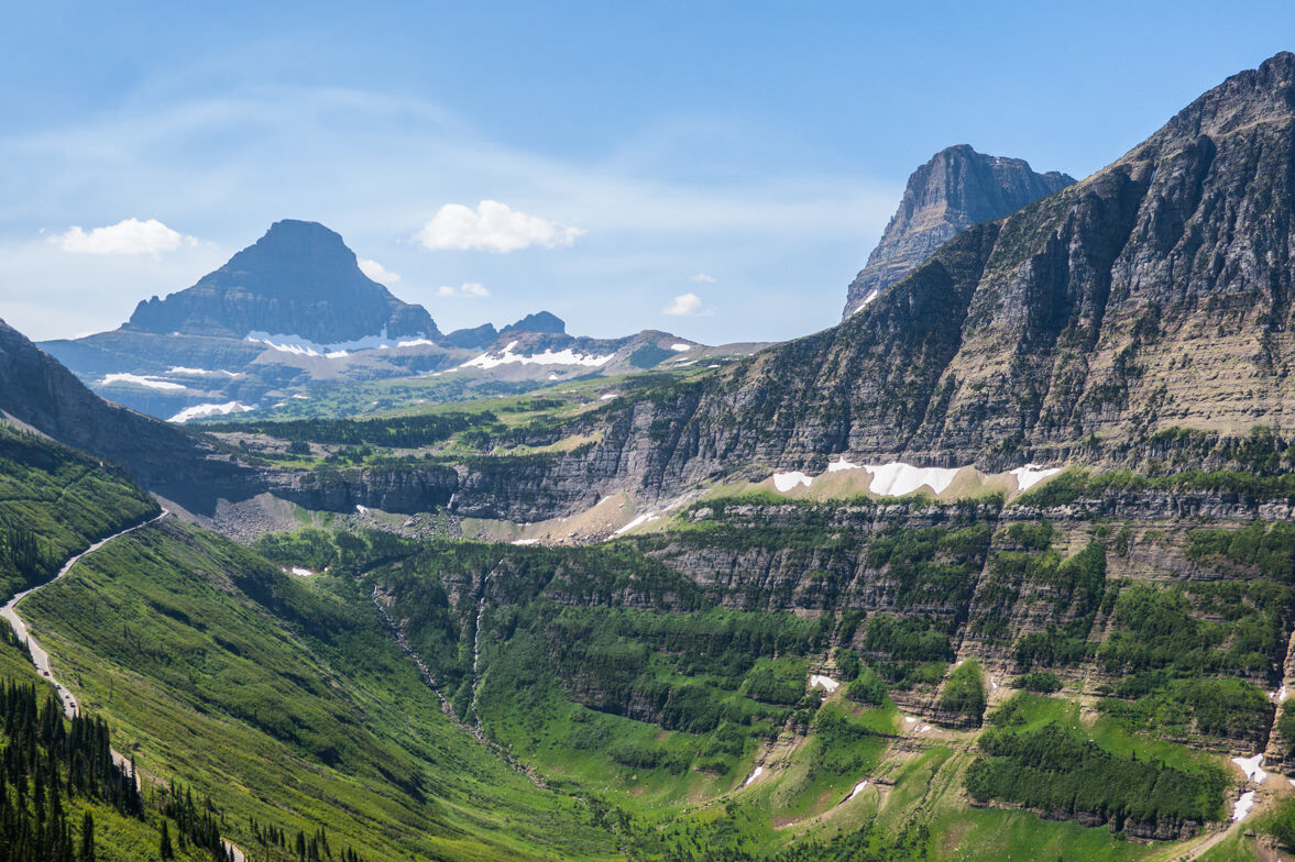
With over 700 miles of trails winding through Glacier National Park, it can be hard to narrow it down to the top ten best day hikes to explore. The good news? You can’t go wrong in Glacier. It’s an ecological and geological jackpot.
With towering peaks, glistening turquoise lakes, wonderful wildlife sightings, and the possibility to get up close to a glacier, your options are endless. In this guide, we hope to outline a range of options, from easy day hikes to full-day adventures.
If you have the time and energy, we highly recommend taking a couple of nights to explore some of the deeper backcountry trails the park offers. For more information on backcountry travel, check out our Guide to Backpacking in Glacier National Park.
Editor’s Note: We updated this guide September 17, 2026 to reflect changes to the transportation systems and rules in the park. We expect changes again, which tend to be announced mid-winter.
How Do I Get Around the Park?
Shuttles
In short, it’s not easy, but don’t give up. The park seems to change the shuttle system every season, and this year’s system was a big bummer. It no longer stops at every trailhead. We think it was due to budget cuts and sincerely hope they reinstate the comprehensive shuttle system.
Shuttles can be booked in advance online at recreation.gov starting 60 Days in Advance of the entrance date. A portion of tickets is released on a rolling basis starting May 2 at 8:00 a.m. MDT. The remaining tickets are released daily at 7:00 p.m. MDT the evening before the ride date. They get scooped up in about a minute, so have everything ready and keep refreshing the page until the button is live.
- Locations: West side options include Apgar Visitor Center and Lake McDonald Lodge; east side options include St. Mary Visitor Center and Rising Sun Picnic Area.
- Requirements: Each passenger aged 2 and older needs a ticket and their own seat. You also need a valid park entrance pass.
- Arrival: Arrive at least 30 minutes before your scheduled slot to park, line up, and get your validation wristband.
If that doesn’t work, there’s a waitlist that fills in no-shows, but it isn’t a guarantee.
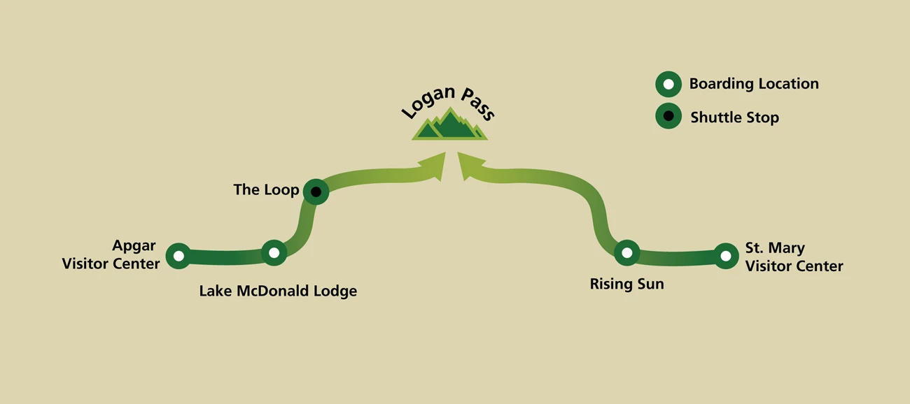
The shuttle operates as a hop-on hop-off two-way service along Going-to-the-Sun Road between the Apgar Visitor Center and St. Mary Visitor Center. The shuttle runs on the west side from the Apgar Visitor Center to Logan Pass. On the east side the shuttle runs from Logan Pass to St. Mary’s Center. If you plan to ride the full Going-to-the-Sun Road, you’ll have to switch shuttles at Logan Pass.
CAR
Parking is limited and competitive, especially now that there isn’t a vehicle reservation and they reduced shuttle stops. It Isn’t impossible, especially in less popular areas (anywhere other than Logan Pass and Avalanche Lake TH).
Also, plan to park your car at a shuttle hub parking lot instead of other locations where parking is limited. The east hub is the St. Mary Visitor Center, and the west hub is the Apgar Visitor Center. Parking is competitive throughout the park, especially at Logan Pass Visitor Center. We’ve seen it all in this parking lot, even fist fights over a parking spot. During peak season, many parking lots are full by early morning. Keep in mind that shuttle services end at 7 p.m., so do your best to be at a bus stop before then!
Hitchhiking
Hikers can also hitch a ride to their starting point or back to their cars at the end of the hike (riskier if it is late in the day). Most people are friendly and it’s never taken more than 10 minutes to find a ride; just know they might make a bunch of stops to take pictures or look at wildlife, so be ready to be patient.
Always exercise caution when accepting a ride from a stranger, avoid hitching alone, and have an excuse to decline an offer if your gut gives you the “ick.”
What Are the Best Easy Day Hikes
Hidden Lake Overlook and Lake
- Mileage: 2.7 miles (overlook only) & 5.4 miles (overlook and lake)
- Trailhead: Logan Pass Visitor Center
- Elevation Gain: 540 ft. & 1325 ft.
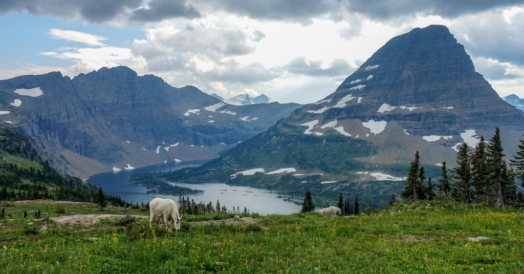
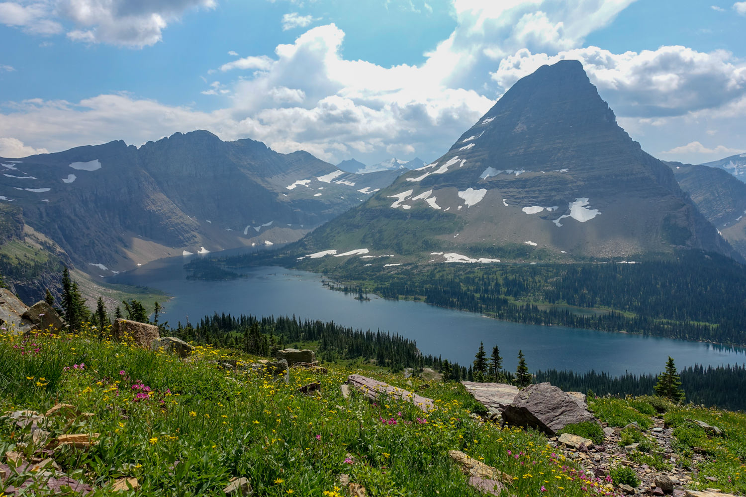
Hidden Lake is one of the most iconic images of Glacier National Park, and because of this, it’s also one of the most popular trails. You’ll start this hike from the Logan Pass Visitor Center, the junction of the two shuttle systems.
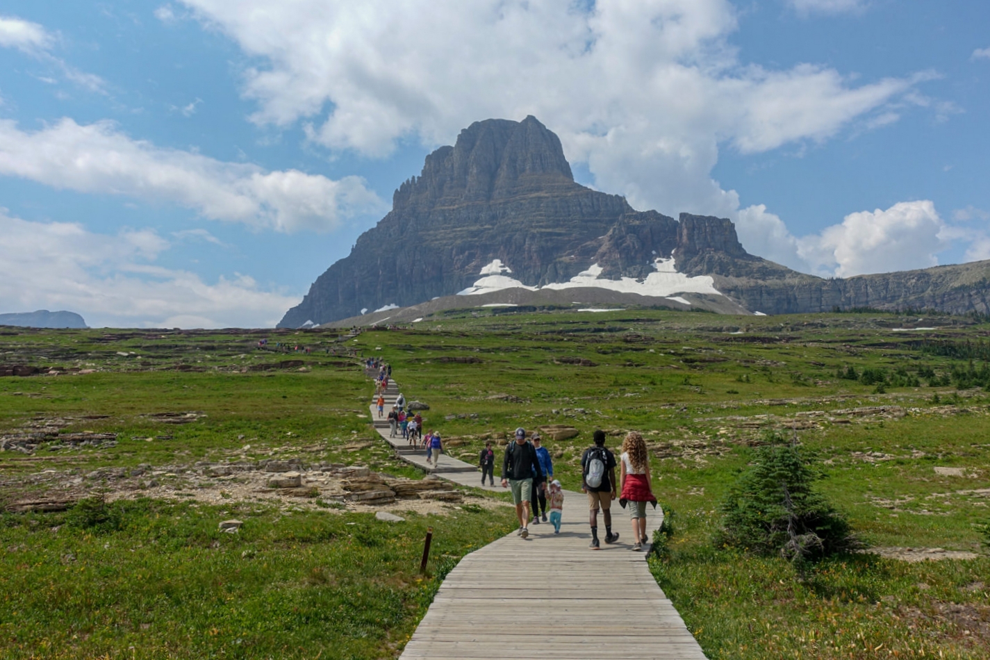
Heading out on a raised boardwalk, you’ll hike toward the Continental Divide and the hulking 8684-foot Bearhat Mountain on your way to the overlook. If you have it in you, we recommend continuing to the shores of Hidden Lake, which adds 2.7 miles of hiking and an additional 770 feet of elevation loss and gain but is totally worth it.
Expect to see goats quite habituated to humans along this route, but please keep your distance and don’t feed them! Bighorn sheep also frequent the area, especially in the late afternoons. We’ve also seen a few grizzlies in this area, which is a good reminder that just because people are around doesn’t mean bears aren’t!
Avalanche Lake
- Mileage: 4.5 miles
- Trailhead: Trail of the Cedars
- Elevation Gain: 730 ft.
Located only 5.5 miles from Lake McDonald Lodge along the Going to the Sun Road, the flat, easy, and wheelchair-accessible trail to Avalanche Lake is a great introduction to Glacier National Park. You’ll walk along raised boardwalks as you pass Avalanche Creek and the spectacular Avalanche Gorge on your way to the lake. Be cautious near the creek; people slip, and it can be fatal.
This loop hike is one of the most popular in the park, so expect crowds. The parking lot is also quite small, so we highly recommend going early (or late) and avoiding weekends.
Best Moderate Day Hikes
Highline Trail Loop
- Mileage: 11.8 miles
- Starting Trailhead: Highline Trail Trailhead
- Ending Trailhead: The Loop Trailhead
- Elevation Gain: 1,950 ft.
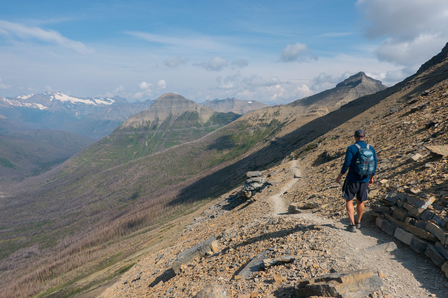
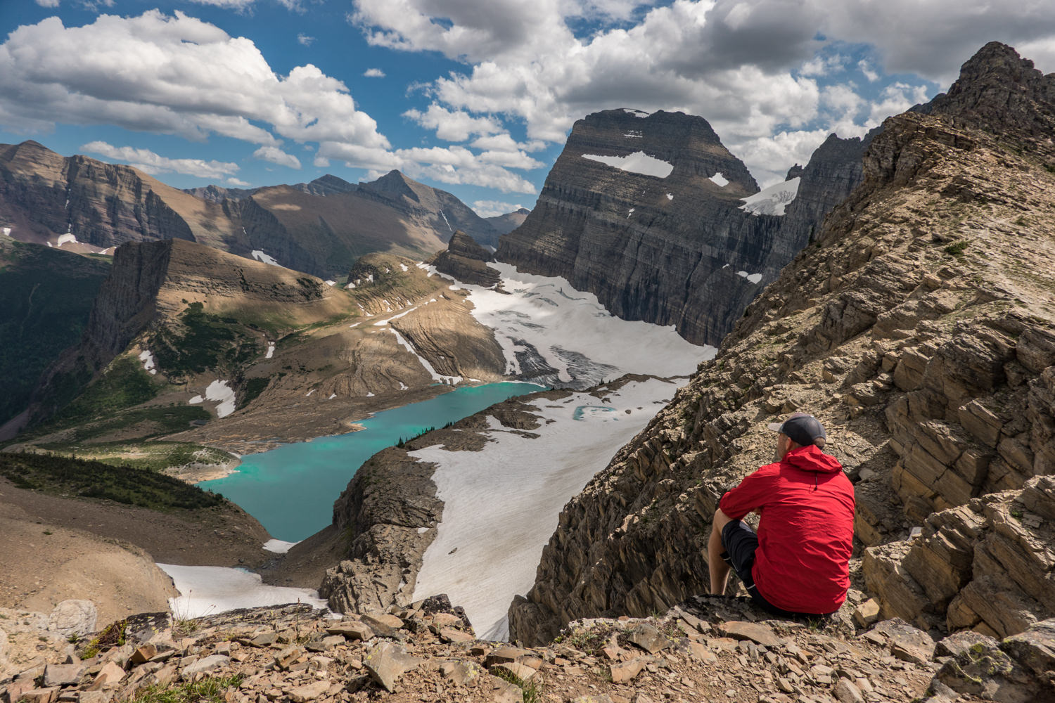
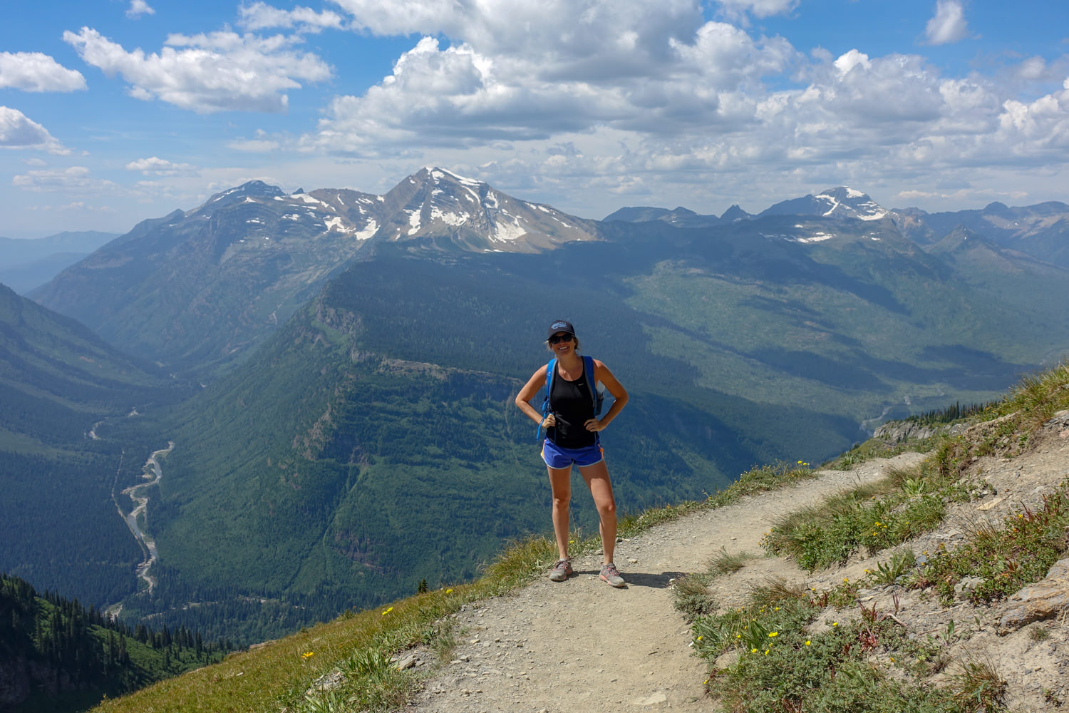
The Highline Trail is one of our favorite full-day hikes in the park. You’ll traverse the Continental Divide for a good portion of this hike, with spectacular views every step of the way. Just after you set off, you’ll hike on the exposed ledge trail high above the Going to the Sun Road on your way to the Garden Wall. All along the route, you’ll get a panorama of peaks to your west as you hug the wall. Around mile 7, you’ll hit the Garden Wall Trail junction, which offers a burly, but absolutely worthy 0.9 mile side trail that climbs steeply to the Grinnell Glacier Overlook (see photo below). Continue and make a quick stop at the Granite Park Chalet before beginning your long descent down the Granite Park Trail (also known as the Loop Trail) on your way to trailhead and shuttle stop.
Firebrand Pass
- Mileage: 10.5 miles
- Trailhead: Lubec Trailhead
- Elevation Gain: 1,956 ft.
This out-and-back hike takes in the east side of the Continental Divide in the Marias Pass area in the south end of the park. You’ll traverse through aspen forestland and be rewarded with views of horizon-bound prairies and endless mountain peaks. It takes you through wildflower meadows (Yellow Columbine, Subalpine Spiraea, and Fireweed, often still blooming into late September) and aspen groves, then up into a stark, rocky landscape unlike what you often see throughout the park.
But it’s the view at the pass that will blow you away. The trailhead is a little difficult to find: Look for mile marker Number 203 along Highway 2 on the southern border of Glacier Park. Park in the dirt pullout, cross the train tracks, and head for the gate and trailhead sign.
Ptarmigan Tunnel
- Mileage: 10.7 miles
- Trailhead: Iceberg Lake Trailhead
- Elevation Gain: 2,300 ft.
This hike is moderately strenuous and absolutely intriguing. The tunnel, built back in the 1930’s by the CCC for horses and mountain tours, is about 150 feet long and is a fascinating piece of Glacier history. This route will surely be crowded, but the trail should thin a bit after the Iceberg Lake junction, where you’ll continue straight to the Ptarmigan Tunnel. Along the route you’ll visit a spectacular lake and experience views out the backend of the tunnel you will never forget – we’ll just leave it at that. This trail is prime grizzly habitat and is often closed due to bear activity, so always check trail status at a ranger station in the park prior to heading out.
Siyeh Pass Loop
- Mileage: 10.4 miles
- Starting Trailhead: Siyeh Bend
- Ending Trailhead: Sunrift Gorge
- Elevation Gain: 2,280 ft.
This is one of Glacier’s most spectacular and visually rewarding day hikes. It begins in a dense spruce and fir forest. It then climbs to high alpine meadows, crosses rivers and creeks to views of Blackfoot, Jackson, Piegan, and Sexton glaciers, and finally to the bases of Matahpi Peak and Mount Siyeh.
The final set of switchbacks takes you to knockout views, then heads down around the top of the rocky pass with views of Saint Mary’s Lake and the Baring Creek Valley, and finally terminates at Sunrift Gorge. Although it’s designated as a loop trail, it’s really a one-way trail that loops back to the start with a hop on the free shuttle.
Quartz Lake Loop
- Mileage: 12.8 miles
- Trailhead: Bowman Lake
- Elevation Gain: 2,378 ft.
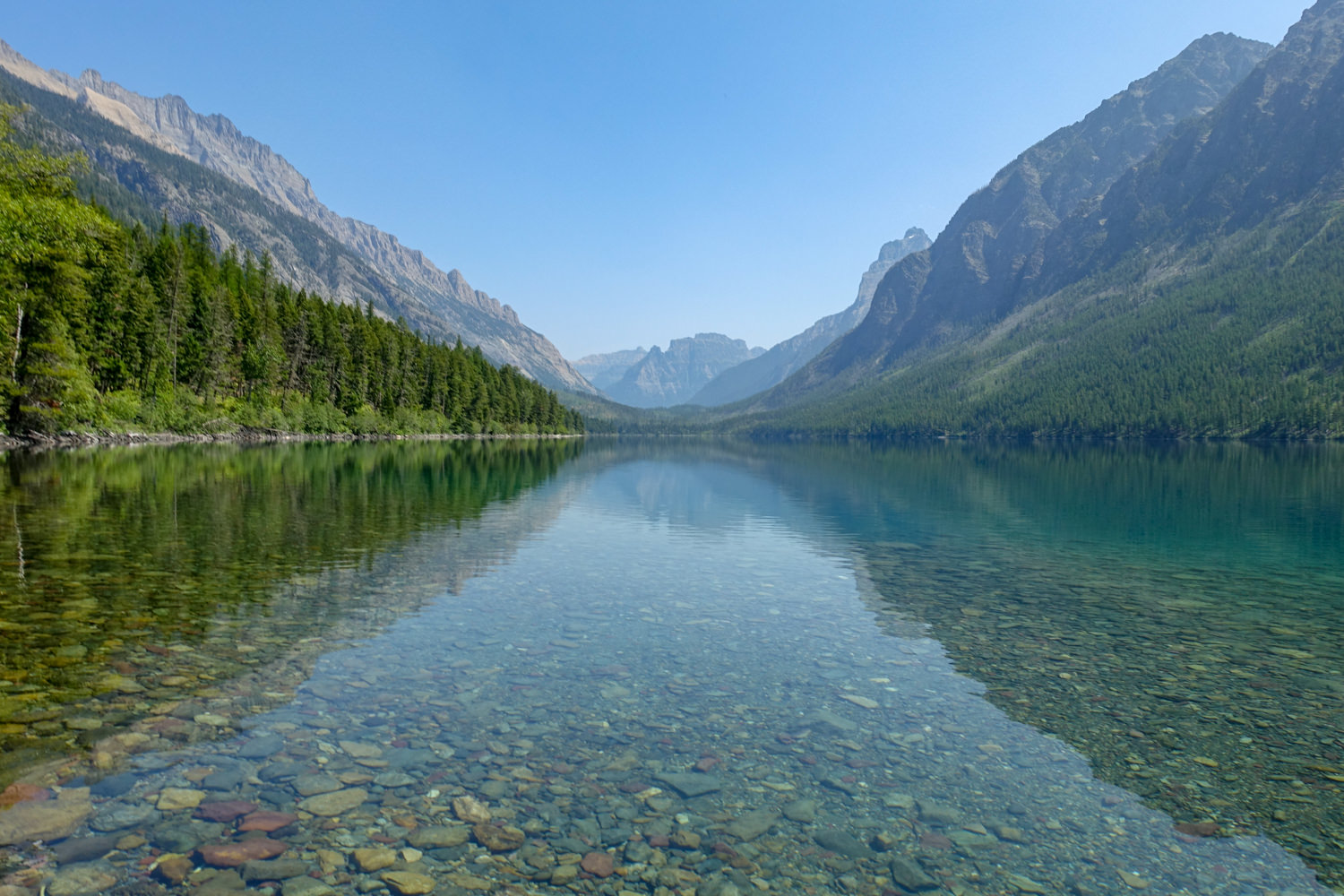
This wonderful woodland hike in the North Fork Valley area of the park travels up and over one of two forested ridges (depending on which direction you go; Cerulean or Quartz ridge) then down into a basin that holds both Upper and Lower Quartz Lakes. It can be very buggy in early summer, but by September, the bugs diminish quickly.
Besides offering considerable solitude for a hike in Glacier, this trail is filled with birdsong and offers views of Vulture, Numa, and Rainbow peaks. Keep an eye out for nesting loons on the lakes!
Grinnell Glacier
- Mileage: 10.3 Miles
- Trailhead: Grinnell Glacier Trailhead
- Elevation Gain: 1,819 ft.
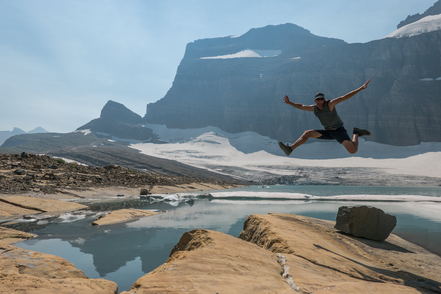
This is a day hike with an ultimate reward -an incredible glacier at the end of the route. But the views along the way are just as jaw-dropping. As you climb up the flanks of Mt. Grinnell, the views down the valley and ahead of you continue to increase.
Keep your eyes out for the tall cliffs of Angel Wing rising abruptly from the horizon as Grinnell Lake’s incredible emerald color comes into focus. Keep in mind that the trail is not completely accessible until late July most years, when the snow melts and the park opens higher portions of the trail.
Cracker Lake
- Mileage: 12.6 Miles
- Trailhead: Cracker Lake Trailhead (Many Glacier)
- Elevation Gain: 1,400 ft.
Famously known for its milky turquoise lake hugged by towering cliffs and a fascinating old mine site, the hike to Cracker Lake remains one of the most popular trails in the park. You’ll pass impressive waterfalls and dip in and out of the forest as you make your way toward the magnificent headwalls of Mt. Siyeh and Allen Mountain.
The reward for your hard work is glorious Cracker Lake 6.3 miles in. The trail to the lake is prime grizzly habitat, with tall brush and a plethora of berry bushes, so take adequate precautions and make a lot of noise. If you’re lucky, you may even snag a backcountry permit and spend the night at the lake.
Best Strenuous Day Hikes
Dawson-Pitamakin Loop (Two Medicine Area)
- Mileage: 19 miles
- Trailhead: North Shore/Pray Lake
- Elevation Gain: 2,935 ft.
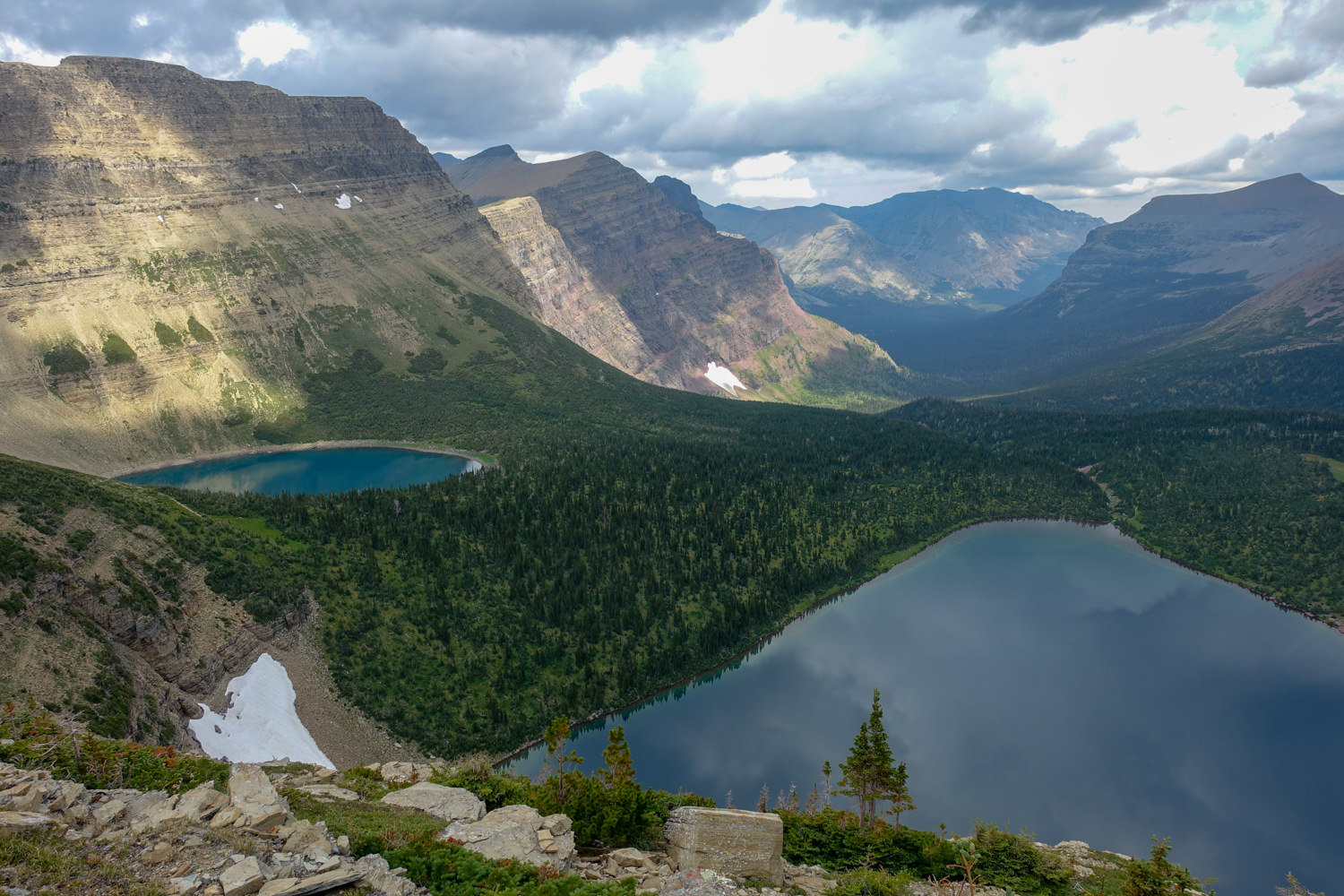
Many choose to do this loop as a backpacking trip. But this loop is an epic day hike for those in good physical shape. You’ll travel around the massive Rising Wolf Mountain while passing stunning turquoise lakes and traversing exposed and wildly scenic trails.
The loop hike is best traversed clockwise – first climbing to Dawson Pass and then over Pitamakin Pass. Doing it this way will complete the ascent in the morning. That way, the rest of your day will be relatively easy and enjoyable. Of all the trails we hiked in Glacier, we saw the most wildlife on this loop. You can shorten the loop by booking a ferry and skipping the walk along Two Medicine Lake. It’s a fun ride with great interp from the captain.
Gunsight Pass Trail
- Mileage: 20 miles
- Beginning Trailhead: Jackson Glacier Overlook
- Ending Trailhead: Lake McDonald Lodge (Sperry Trail)
- Elevation Gain: 3,711 ft.
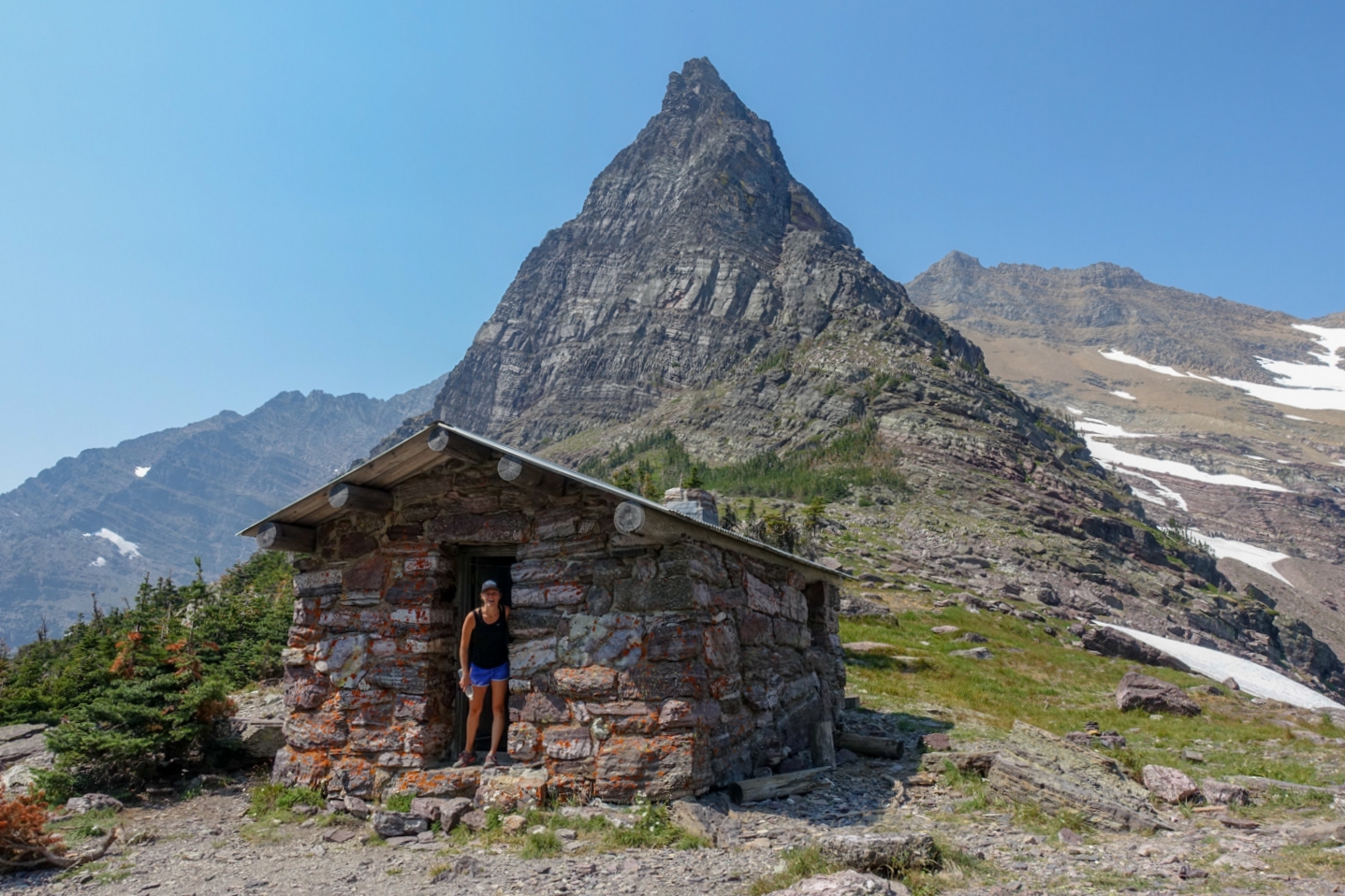
Competition for backcountry permits along this route is fierce. Some complete the Gunsight Pass Trail as a day hike – though it’s not for the faint of heart. Make sure you’re in good physical shape and know your limits before attempting it. Over the course of 20 miles, you’ll climb nearly 4,000 feet and descend nearly 6,000 ft.
The trail begins with a descent into the Reynolds Creek Valley. Then, it evens out as you traverse alongside St. Mary River. Eventually, you’ll begin a gradual climb uphill after a footbridge approaching Gunsight Lake. The climb to Gunsight Pass is spectacular, with a stunning view of Lake Ellen Wilson awaiting you at the top. The second and highest pass – Lincoln Pass – precedes a long descent through the 2017 burn area. Finally, you will pass the Sperry Chalet area as you head down to Lake McDonald. Stop in the historical Chalet for a piece of pie.
Piegan Pass
- Mileage: 17.7 miles
- Beginning Trailhead: SunPoint
- Ending Trailhead: Many Glacier Hotel
- Elevation Gain: 3,506 ft.
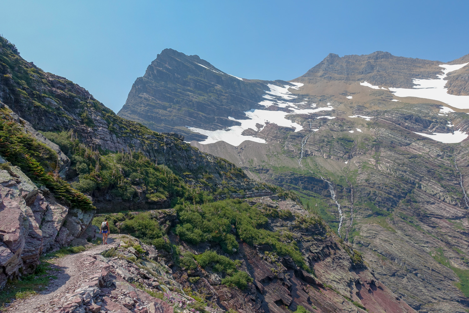
Equally exciting as the Highline Trail but less crowded, this trail offers an epic sunrise-to-sunset hike. It’s perfect for those seeking adventure without the crowds. You begin the route with spectacular views over St. Mary’s Lake as you dip in and out of the forest. As you climb to the pass, your jaw will drop at the view of the surrounding mountains and lakes. The flora and fauna are the highlights of this trip, capturing the best Glacier has to offer.
You can shorten this route by starting at other pullouts like Siyeh Bend along the Going-to-the-Sun Road. Also, if you complete this route as a one-way trip you’ll need to arrange transportation.
Glacier National Park Lodges Hiker’s Shuttle is a good option since the shuttle does not stop in the Many Glacier area.
What Gear Do I Need?
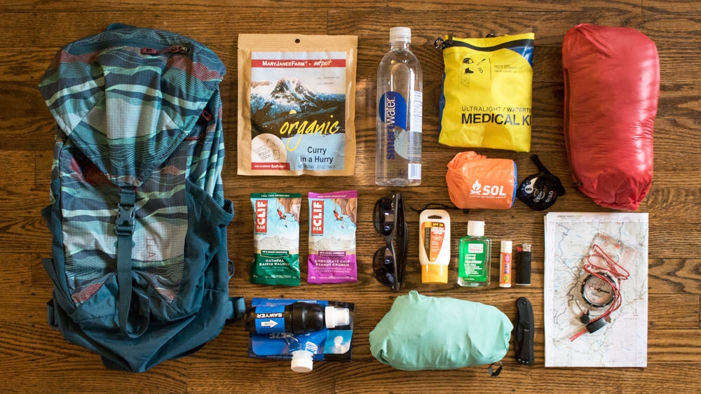
Carrying the proper equipment is absolutely critical. Pack the same whether it’s a short hike to Avalanche Lake or a full-day adventure like the Highline Trail. If things go wrong, the right gear can mean the difference between a minor inconvenience and a dire outcome. Weather moves quickly, and it isn’t uncommon to experience a 15-minute thunderstorm in the midst of an otherwise bluebird day.
Dialing in essential day hiking gear should be part of any pre-trip preparations, whether you’re a first-timer or a sage backcountry traveler. Check out our article, 10 Things You Should Bring on Every Day Hike to ensure you’re geared up for a safe and enjoyable trip.
More Information
We hope this guide helps you plan an awesome visit to one of our nation’s most spectacular national parks. You really can’t go wrong in Glacier, so pack a bag and hit the trails!