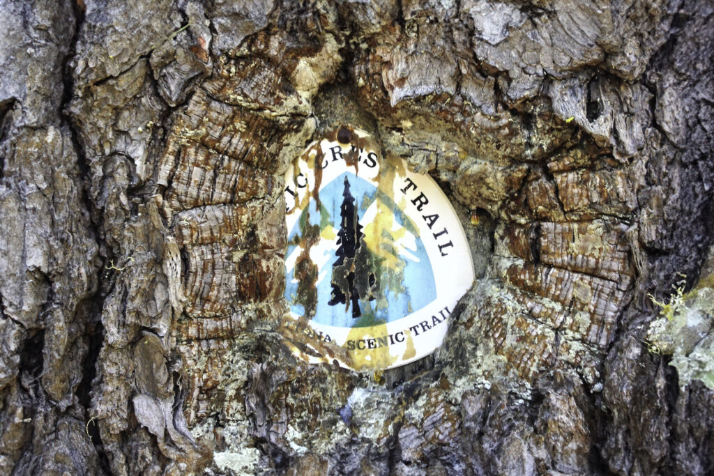
The Appalachian Trail (AT) is a long-distance national scenic hiking trail that goes from Springer Mountain in Georgia to Mt. Katahdin in Maine on the U.S. East Coast. Every year, thousands of people attempt a “thru-hike” on the AT, but only a fraction finish.
Thru-hiking the AT can be a rewarding and powerful experience. Overcoming the challenges of a thru-hike requires a lot of research, planning, and dedication, so we put together this guide to help get you started. Below, you’ll find tips about choosing when and where to start, buying gear, what to expect on the trail, and so much more.
Quick Facts
- 2,190 – Approximate length in miles of the AT
- 14 – Number of states the AT traverses
- 6 – Number of National Parks Service Units the AT passes through
- 165 – Average number of days it takes to complete an AT thru-hike
- 465,000 – Approximate elevation gain and loss in feet of the AT
- 16 – Amount of times an AT hiker would have climbed Mt. Everest after finishing a thru-hike
- $6,000-$8,500 – Average on-trail expenses, plan to spend $3 – $4 per mile
- 4-5 – Average pairs of shoes an AT hiker will go through
- 30 – Number of volunteer trail clubs that maintain the trails, shelters, and privies along the AT
- 25% – Average percentage of people who complete a thru-hike on the AT out of those who attempt it
What to Expect on an Appalachian Trail Thru-Hike
A thru-hike on the Appalachian Trail can be a life-changing experience. Because of its rich history, many people attempt it as their first thru-hike. (Anyone stepping into thru-hiking for the first time should take a look at 21 Tips for First-Time Thru-Hikers.) You can’t fully anticipate how you will adjust to the lifestyle and conditions of long-distance hiking, but here are some typical experiences you may encounter:
Crowds
The AT can be very crowded, especially in the first 200 miles of a northbound thru-hike. Out of the three National Scenic Trails in the U.S., the AT has the largest number of people attempting a thru-hike every year. The AT also passes through Great Smoky Mountains National Park, which is the most visited national park in the country.
Steep climbs
There’s a common misconception that the AT is flat because the Appalachian Mountains don’t look as epic as the Sierras or Rockies. Though the mountains are smaller, the AT is consistently steeper than the Pacific Crest Trail (PCT) or Continental Divide (CDT) Trail. It’s not switchbacked and not graded for pack animals. You summit a huge number of peaks instead of ridge-walking around them.
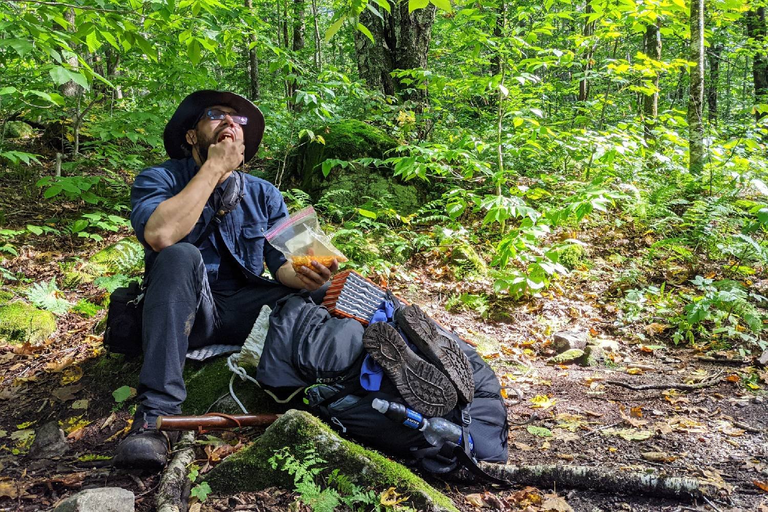
Repetitive meals
Thru-hikers eat A LOT of food. Hiker hunger, the insatiable appetite of thru-hikers, typically sets in about two weeks in to a long distance hike. At that point, it’s difficult to eat enough food to replace the calories you burn while hiking – let alone eat enough to feel satisfied.
Thru-hikers must choose calorie and protein-rich foods that are lightweight (and affordable), and typically you will be eating the same stuff nearly every day. For some ideas of great hiker foods, check out our best backpacking food guide, our guide to making your own backpacking meals, and our best freeze dried backpacking meals list.
Most challenges are mental, not physical
Backpacking the entirety of the AT is no walk in the park. Sure, it can push your body to the limit, but it’s the mental wear and tear that can steer even the strongest thru-hikers off the trail. Mental challenges include worries over money, homesickness, and a gloomy outlook. Surround yourself with trail buddies who keep your spirits high, get your ducks in a row with some solid planning, and never throw in the towel on a crummy day.
Hiker family
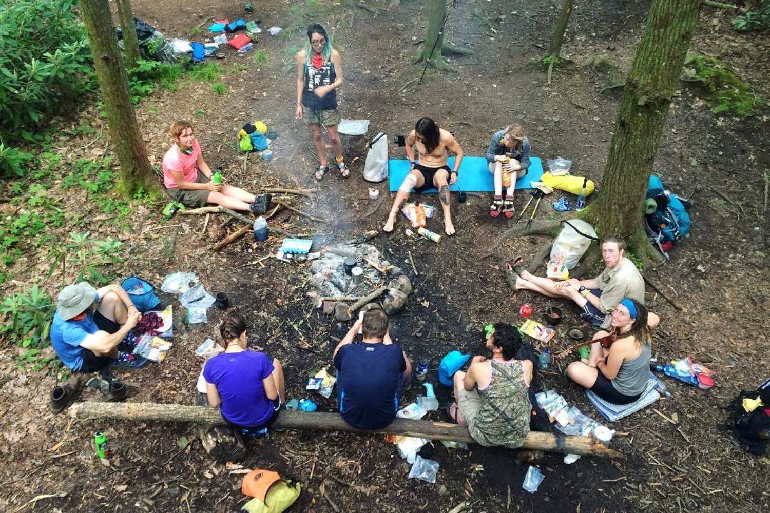
Thru-hiking often leads to life-long friendships. It’s pretty amazing how quickly you become best friends with your fellow hikers. You’ll meet people from all walks of life, but you’ll always have one major thing in common—you’re all brave enough to leave average life behind and spend five to seven months walking across the country and sleeping in the woods.
Planning
Good planning isn’t only for the benefit of the thru-hiker—it’s also for your friends and family back home. These tips will prep you and help your loved ones understand what you are doing why you’re trading creature comforts for trail life.
Picking a direction and start date
Thru-hikers can choose to hike the Appalachian Trail northbound (NOBO) or southbound (SOBO). NOBO hikers start at the trail’s southern terminus at Springer Mountain, Georgia, and hike north until they reach Mt. Katahdin, Maine. SOBO hikers start at the trail’s northern terminus (Katahdin) and hike south, finishing at Springer Mountain, Georgia.
AT thru-hikers are not required to apply for a permit ahead of time or stagger starting dates. This means you can start on any day you like, but it also means that you can experience intense overcrowding if you start on a popular date.
Most northbound (NOBO) hikers will start in March and April; NOBO hikers will generally want to reach Mt. Katahdin in Maine before October 15, when Baxter State Park usually stops giving permits to summit. For NOBO hikers, the most popular date to start is April 1.
Southbound (SOBO) hikers usually start in June or July, which will avoid most of the bad weather in Maine. Choosing which direction you want to go really depends on your style and what you want to get out of the hike. Here are some things to consider when making your decision:
NOBO
Pros:
- Lots of people to interact with
- longer window of good weather to start and finish
- easier start to the hike
- ending in Maine feels a lot more epic
Cons:
- Hard to find solitude
- shelter/campsite availability can be limited
- harder to budget because trail gets more expensive as you go north
- less transportation options to get home from Maine
SOBO
Pros:
- less crowded
- get the hardest parts of the way first
- start with better scenery
- trail gets cheaper as you go south
- easier transportation options to get home from Georgia
Cons:
- can be lonely
- trail is difficult right out of the gate
- shorter good weather window to complete your hike
- less scenic finish in Georgia
Permits
There is no thru-hiking permit for the Appalachian Trail. However, there are sections where you need permits:
Great Smoky Mountains National Park – You need a GSMNP AT Thru-Hiker Permit to travel through the national park. It costs $40 and can be obtained online, but you must have a printed version with you in the park. The National Park Service’s GSMNP’s backcountry permits page will have the most up-to-date info.
Shenandoah National Park – The SNP backcountry overnight permits are required for thru-hikers and can be purchased through Recreation.gov. The permit costs $9 per person and there is a $6 fee per reservation. Permits can be obtained up to 90 days in advance of entering the park. Hikers will need to carry a printed or digital copy of their permit with them while in the park. For more on SNP permits, the National Parks Service’s SNP backcountry permits and regulations information page provides up to date information.
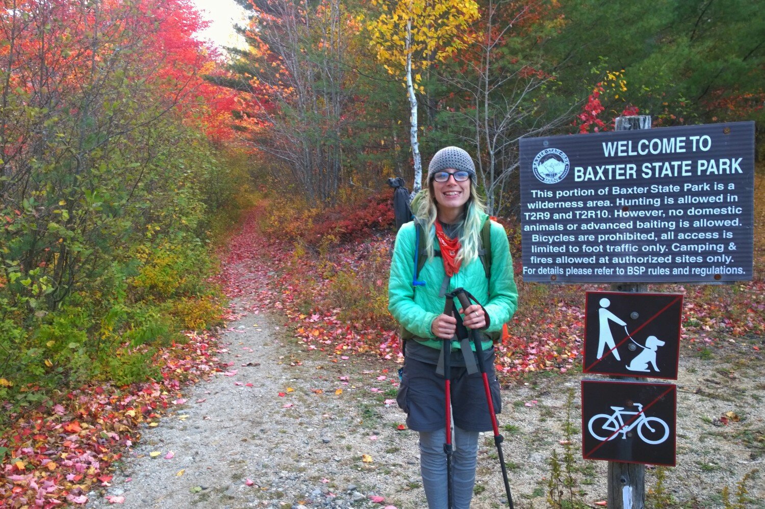
Baxter State Park, Maine – All AT hikers (NOBO, SOBO, section hikers, flip-floppers, etc.) must obtain an AT Hiker Permit before attempting to summit Katahdin. This permit is only available at the Katahdin Stream Campground and it’s free. Baxter State Park has the most up-to-date permit info.
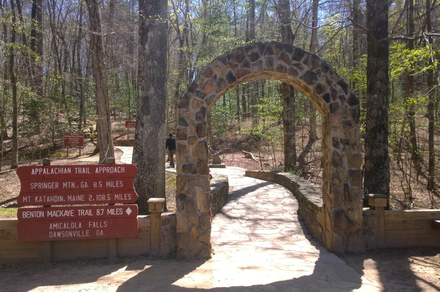
Amicalola Falls State Park, Georgia – Okay, so this one is not technically a permit, nor is it technically part of the Appalachian Trail. Amicalola Falls is home to the AT approach trail – an optional 8.8-mile hike that leads to Springer Mountain, the southern terminus of the AT.
We highly recommend doing the approach trail. It’s epic, you start off with mad trail cred, and you get to climb 604 stairsteps up a waterfall! But also, it’s good to start here so you can register your hike with the ATC.
Registration is voluntary, but it helps determine usage data (plus, the ATC gives great pointers, and they let you use their hanging scale to get your starting pack weight.)
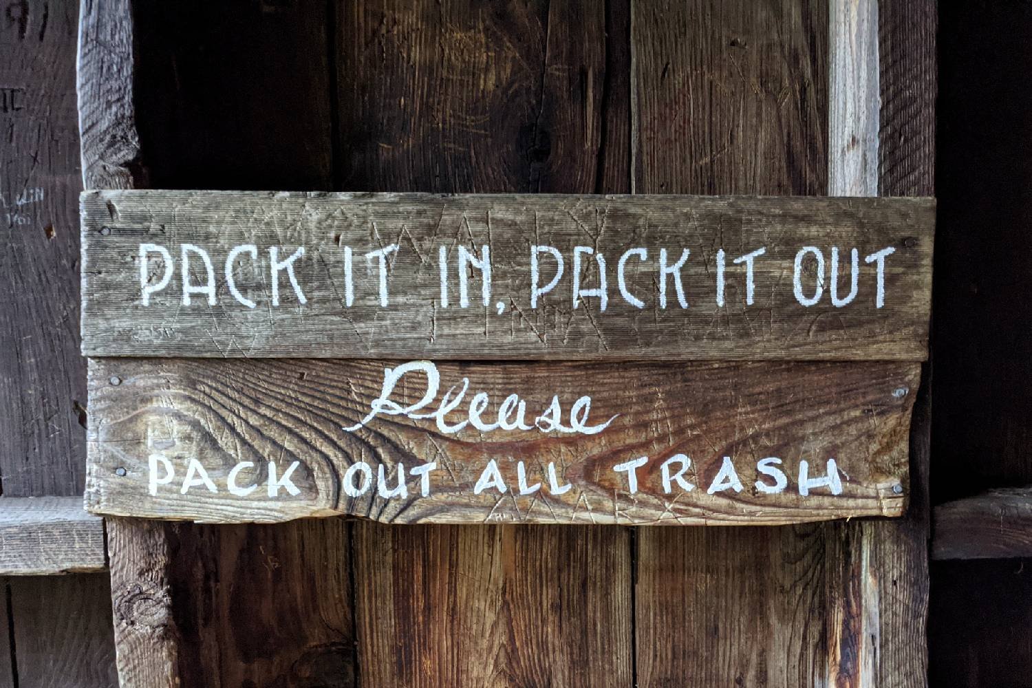
Familiarize yourself with LNT
With more people long-distance backpacking, it’s crucial to know how to thru-hike in a way that minimizes your impact while visiting the outdoors. The Leave No Trace Principles (LNT) are a great set of practices to adopt during your hike. For more information on what how these principles are practiced by backpackers, see our leave no trace video.
Budgeting
Budgeting to take a five to seven months off of work can be tricky if you aren’t sitting on a pile of gold. The average thru-hiker spends $3-$4 per mile during a hike on the Appalachian Trail – $6,000 – $8,400 for the whole thru-hike – for things like transportation, lodging, food, drinks, and replacing gear. This estimate does NOT include the gear, food, and clothing you purchase prior to hiking – which can easily add several thousand dollars (unless you already have a dialed in backpacking set up).
Living out of a backpack starts to sound expensive when you factor in the initial investment in gear, which can be pricey depending on what you already have and what you need. To avoid financial stress on the trail or worse, ending your hike early because you ran out of money, check out our 20 Tips for Backpacking on a Budget.
Pressing Pause on your regular life
Stepping away from your regular life for thru-hike on the Appalachian Trail is a significant logistical undertaking. Here’s what you need to consider before hitting the trail:
Employment considerations – Thru-hiking often requires more than standard vacation time. While some fortunate hikers secure extended leaves, many choose to resign. Others hop off the trail to work short contracts (ex. a week as a travel nurse, harvest season, using a trade skill for an odd job they line up) without compromising their commitment to the thru-hike.
However you work it out, this decision impacts your income and potentially your health coverage. It’s best to initiate discussions with your employer well in advance—some hikers plant the seed years before their trek. Remember, robust savings are crucial, not just for trail life, but for your post-hike transition back to the working world.
Set up auto-pay – Set up automatic payments for ongoing obligations like loans, insurance, and phone bills. Trail life often means unpredictable cell service, so ensure your financial responsibilities are handled without constant oversight.
Pets – Secure reliable long-term care for your pets with trusted friends, family members, or reputable boarding options. Compile a comprehensive pet care package including: up-to-date vaccination records, medical history and necessary medications.
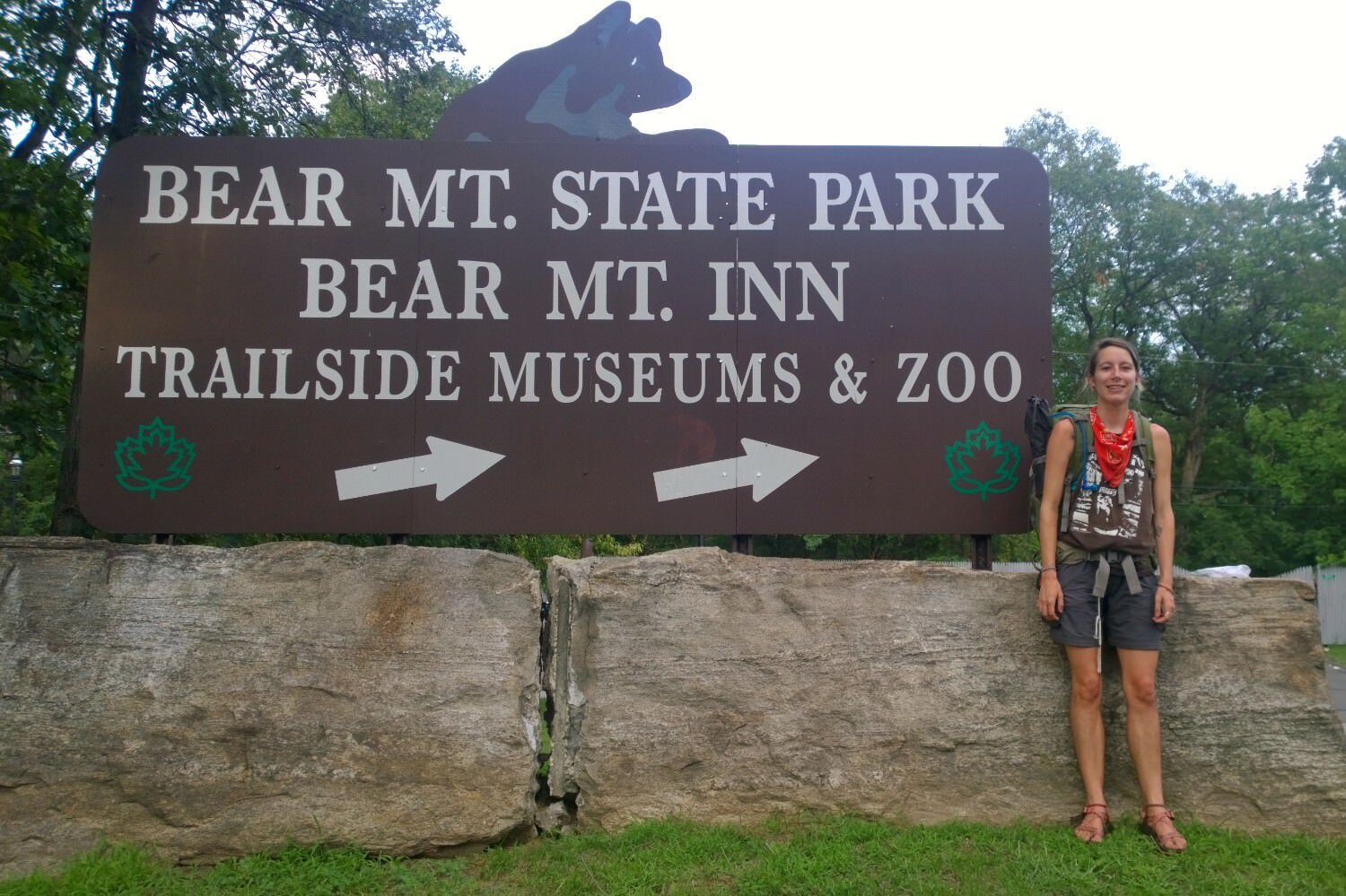
Although dogs are allowed on parts of the Appalachian Trail, there are restricted areas where they are not allowed (Great Smoky Mountains National Park, Bear Mountain State Park Trailside Museum and Zoo, and Baxter State Park). Additionally, almost half of the AT requires that your dog be leashed to minimize stress on hikers and wildlife.
Physical prep
In many ways, it is hard to prepare your body to hike all day for many months. At some level, you just have to do it – and accept the initial beatdown as a shared experience. Many thru-hikers find that their bodies adjust to the demands of the trail. For example, some who start out hiking only 8-mile days may work up to 30-mile days, depending on the trail conditions.
Still, adequate training should speed up that acclimation process. Training can also protect against nagging injuries/weaknesses and support your stamina and recovery.
Here are a few tips to start training for an AT thru-hike:
Start small – If you are new to backpacking, start training with shorter trails and a daypack. Gradually work your way up in mileage and elevation gain/loss. Then head out for some overnight trips with a light pack. Then plan some extended trips with a backpacking pack loaded with what you think you will carry on your thru-hike.
Not only are you getting physically trained, but also you will learn how to load your pack and what gear isn’t quite right for the job. Check out our trip guides page to see some of our favorite backpacking trips that you can use to get your feet wet!
Practice hiking with trekking poles – The AT has a lot of steep climbs and descents. Trekking poles will save a lot of strain on your muscles and joints. Check out our Pros and Cons of Hiking with Trekking Poles article for more info, and then head over to our best trekking poles list to find the perfect pair for you.
Safety
Thru-hiking the Appalachian Trail presents numerous chances for problem-solving, risk assessment, and decision-making through rugged and remote terrain. That beautiful fall foliage on the ground might hide a boulder waiting to twist your ankle. Or, the steep, rocky staircase-like trail becomes a slip-n-slide in the rain, or a lightning storm catches you off-guard.
Being prepared, trusting your gut, and knowing what to look out for is essential no matter where you are.
Dangers of the AT
It’s crucial to recognize that thru-hiking carries inherent risks on the trail itself. Plus, the AT has numerous road crossings and access points. In some cases, it’s within a day’s drive to some of the largest cities in the U.S. This is handy in an emergency but also means the trail is not totally insulated from larger societal issues of the “front country.”
Here’s a list of some risks and helpful resources on how to mitigate them:
- Giardia (see our article on the best water filters)
- Dehydration (check out 20 Tips for Backpacking in the Desert)
- Exposure leading to heat exhaustion/stroke & hypothermia (see our tutorial on emergency first aid skills for the backcountry)
- Blisters & overuse injuries (see our article on how to prevent and treat blisters)
- Sketchy river crossings (see our tutorial on how to safely cross rivers)
- Cars/busy road crossings
- Treefall
- Crime/Theft/Violence (see ATC’s article on crime prevention)
- Lightning strikes (see our tutorial on how lighting safety)
- For more information on AT risks and safety, we recommend reading ATC’s safety tips.
Make a rough itinerary
Do your best to plan out goals for miles per day, town stops for rest days (called “zeros” for hiking 0 miles), and resupplies before you go. This not only allows you to set a goal for finishing and to plan logistics. You also can share it with loved ones at home for their peace of mind. In our experience, friends and family really appreciated being included in the planning process.
Consider carrying a Satellite Communication Device
A satellite communicator is a great safety net in the event of a worst-case scenario. Our favorite is the Garmin InReach Mini – which uses top-notch satellite systems and offers many useful features like on-device mapping and two-way texting. If you’re looking for something more affordable, the less feature-rich Spot Gen4 will also get the job done.
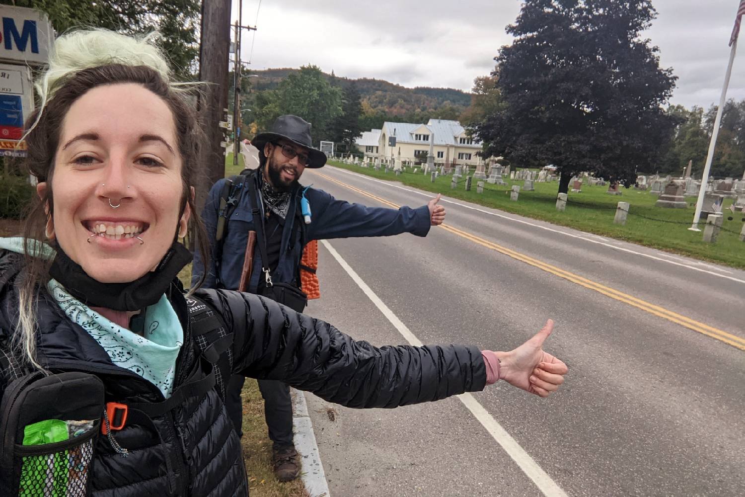
Hitchhiking
We’ve done a lot of hitchhiking between trail towns and trailheads and have never had a bad experience, but things can happen. Always stay aware of your surroundings and, if possible, have a partner with you if you must hitchhike.
Don’t get in the car if it doesn’t feel right. Say you left something in the woods that you need to go back for, tell the car to go on without you, and walk away. You don’t want to take an unnecessary risk.
Luckily, if the idea of hitchhiking makes you super uncomfortable, trail towns and resupply points are pretty easy to access by foot for pretty much the entire AT. With some planning, you can set yourself up for a hitchhike-free experience.
Wildlife
The Appalachian Trail is home to more than 1,800 rare, threatened, and endangered plants and animals. Sighting wildlife on the AT is an exciting and mostly enjoyable experience. You might spot the rare metalmark butterfly, wild turkeys, deer, some really cool salamanders, the elusive fisher, and maybe even a moose! Here are some critters to keep a more cautious eye out for:
Ticks
Small but mighty – ticks (specifically deer ticks; there are a lot of different types on the AT) are the number one most feared critter for many hikers because they’re carriers of dreaded tick-borne diseases like Lyme Disease and Rocky Mountain Spotted Fever.
Get into the habit of checking yourself and your hiking partners as a regular part of your day and know the signs and what to do if a tick bites you. Pretreat your clothing with Permethrin before hitting the trail and avoid areas with tall grass to reduce your risk of a tick encounter.
Mosquitos and black flies
These little pests exist in droves on many parts of the AT. Carry a good non-DEET bug repellant (DEET can damage synthetic clothing and gear) with you at all times!
Timber rattlers/cottonmouths/copperheads
You will find many species of snakes on the AT, but these are the three venomous snakes you might encounter during your thru-hike. Snakes generally want nothing to do with you, but scanning the trail as you hike is important to avoid stepping too close to them.
Venomous snakes are far more common in Southern Appalachia. For more information on snake encounters, check out our snake safety video.
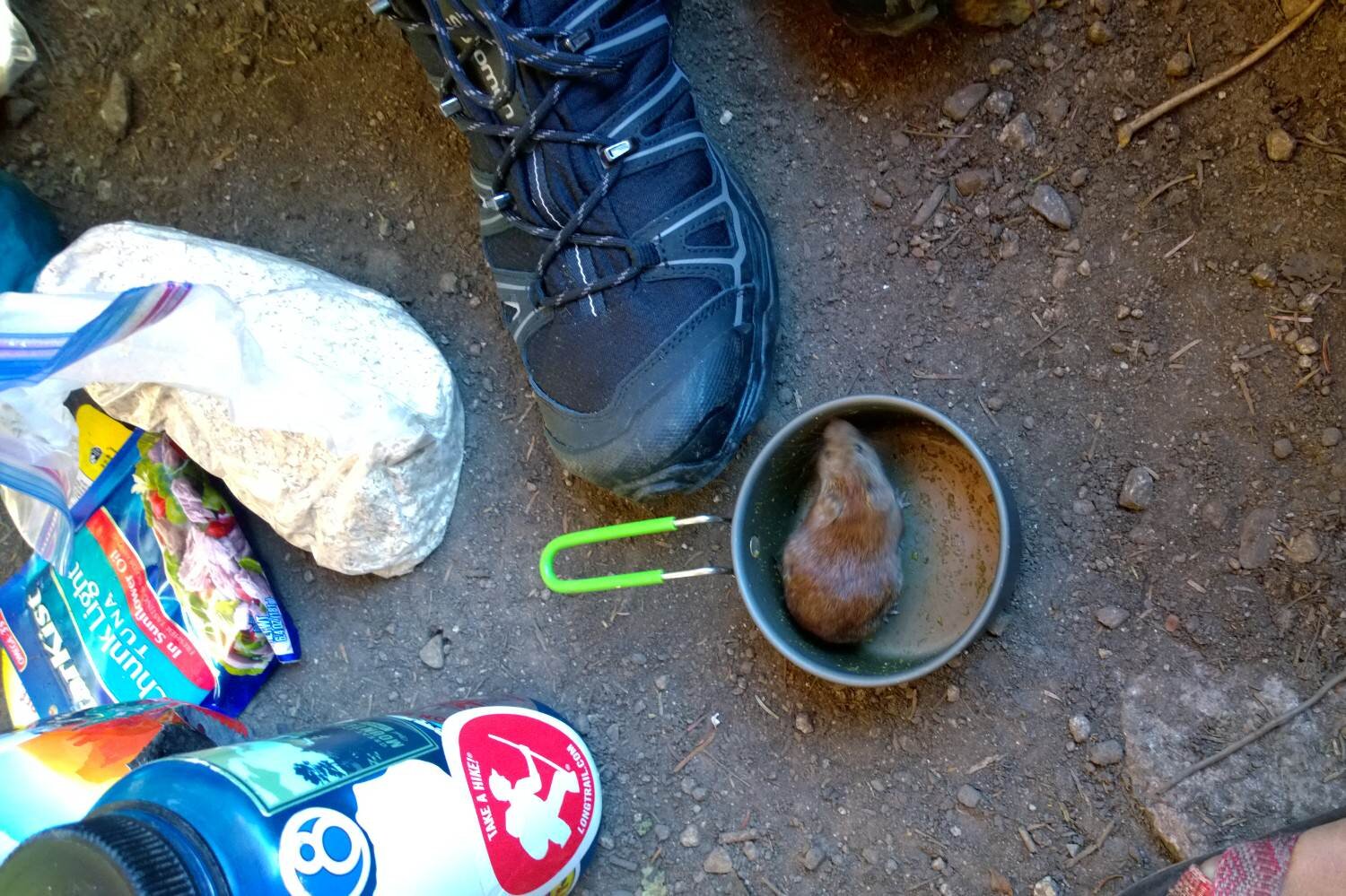
Mice/raccoons
These little disease-carrying jerks are a common sight, especially at shelters. They will defy gravity and all logic to get to your food bag, so make sure you take proper care to protect your food from disaster.
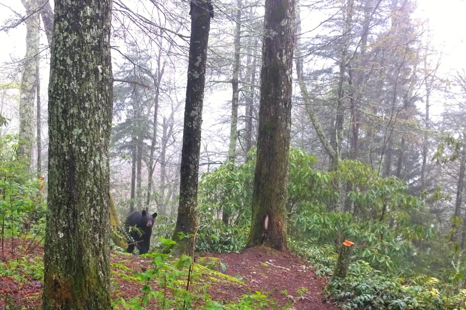
Black bears
Bear are common in the Appalachians but rarely seen. There are large populations of them in the Smokies, Shenandoah, and New Jersey to name a few places, so enjoy any opportunity you get to see these amazing creatures in action.
We are sorry to disappoint, but AT bears are typically not threatening or scary. In reality, you pose a much larger threat to bears than they do to you. Check out our article on the facts and myths of bear encounters for more info.
The biggest key is always properly hang your food and all other scented items, and never approach a bear or get between a mother and her cubs. Remember the saying, “a fed bear is a dead bear.” Feeding wildlife and attracting them to human-frequented areas can lead to a bear’s death.
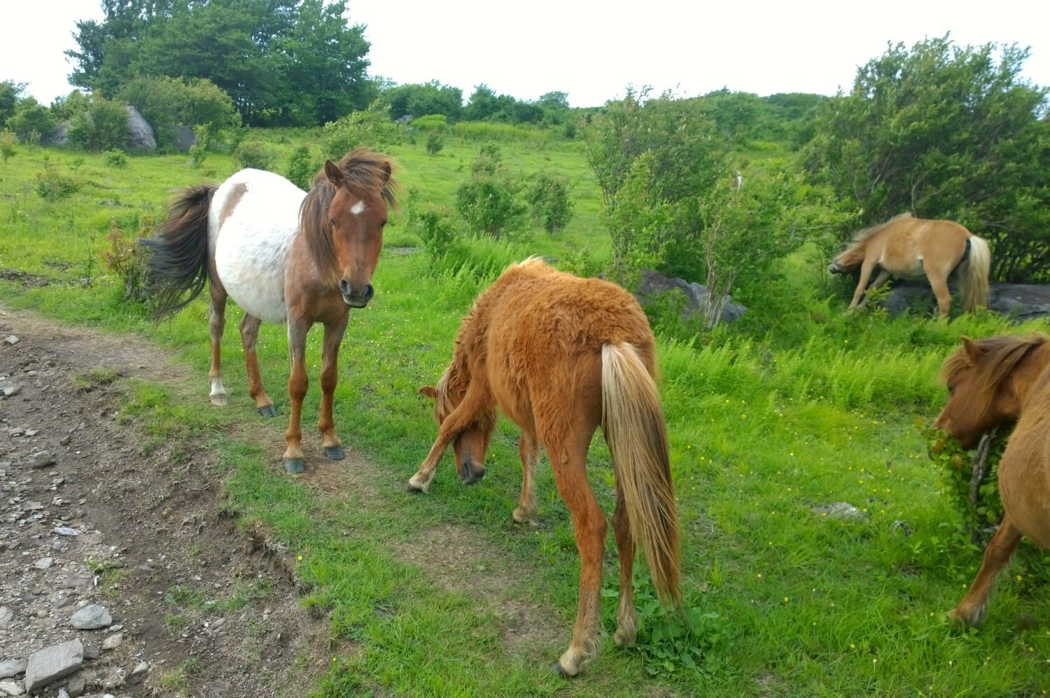
Grayson Highlands ponies
You might be comfortable with horses and they look cute from a safe distance, but don’t be fooled, these animals can be kind of scary!
Grayson Highland ponies are only found in one specific area – the Grayson Highlands in Virginia. They may charge at you, bite at you, or eat your gear. Resist, at all costs, the urge to pet one of these little miracles.
Resupplies
Resupplying on the Appalachian Trail is generally very easy because the trail passes right through or within a mile or two of so many towns. For this reason, many hikers opt to shop for most of their resupply food as they go instead of mailing it.
Still, it’s handy to know how to mail a resupply in case you want to send yourself a bounce box (sending a box of extra food or gear you will need later to a point further down the trail). Here are some resupplies we suggest:
- Food – Especially if you are vegetarian/vegan/gluten-free/etc., you may want to consider mailing ahead some special-diet-friendly foods to yourself
- Seasonal gear – Some hikers choose to use different gear in different sections of the AT. For example, some people send their cold-weather gear ahead to New Hampshire after the Great Smoky Mountains, so they only have to carry it for sections that have historically lower temperatures
- Personal Items – medications, contacts/contact solution, a fresh pair of socks, new hiking shoes, and any other creature comforts that you can’t live without
- More info – Check out Appalachian Trail Conservancy’s AT Thru-Hikers’ Companion for a resupply guide on grocery stores and outfitters, as well as post offices and other businesses that hold packages for hikers along the AT
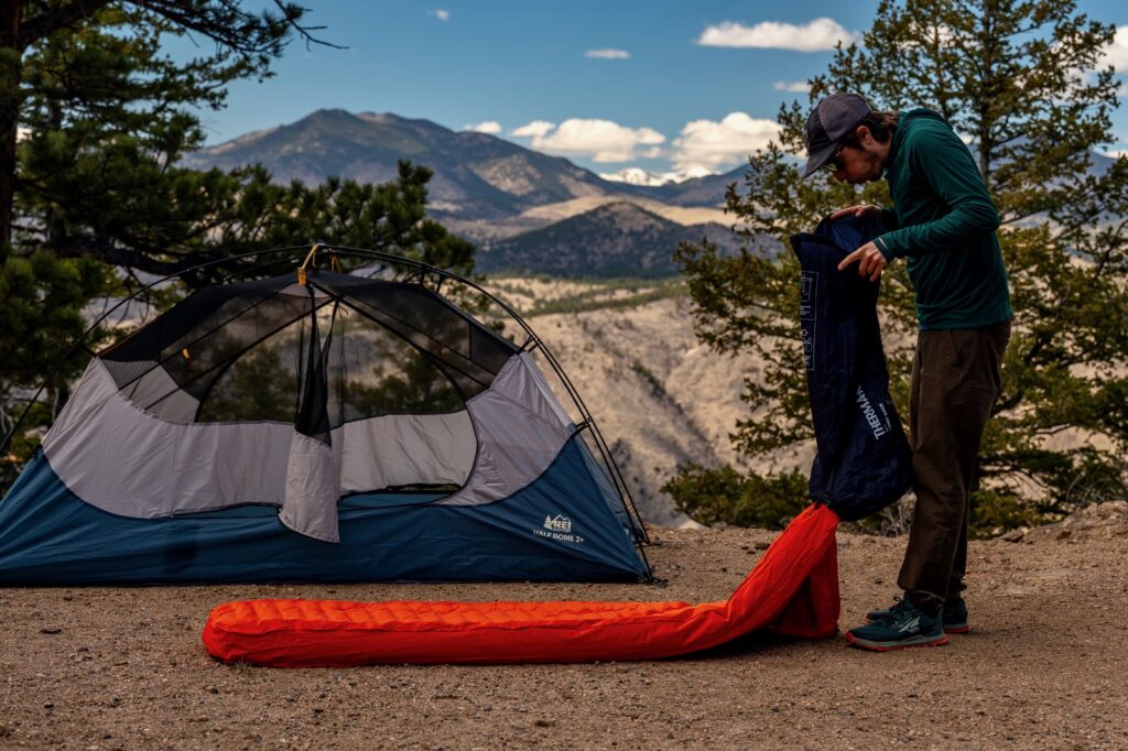
Gear List
Make sure to check out our Ultimate Backpacking Checklist, so you don’t forget something important.
Below you’ll find our current favorite backpacking gear. If you want to see additional options, our curated gear guides are the result of many years of extensive research and hands-on testing by our team of outdoor experts.
BACKPACK
- Best Backpacking Pack Overall: Gregory Paragon 58 – Men’s / Gregory Maven 58 – Women’s
- Best Ultralight Backpacking Backpack: Hyperlite Mountain Gear Unbound 40
- More: Check out our best backpacking backpacks guide for ultralight and trekking options
TENT
- Best Backpacking Tent Overall: Big Agnes Copper Spur HV UL2
- Best Ultralight Tent: Zpacks Duplex
- Best Budget Tent: REI Half Dome 2
- Best Tent Stakes Overall: All One Tech Aluminum Stakes
- More: Check out our best backpacking tents guide for more options
SLEEPING BAG/QUILT
- Best Sleeping Bag Overall: Men’s Feathered Friends Swallow YF 20 / Women’s Feathered Friends Egret YF 20
- Best Quilt Overall: Enlightened Equipment Revelation 20
- More: Check out our best backpacking sleeping bags guide and best backpacking quilts guide for more options
SLEEPING PAD
- Best Sleeping Pad Overall: NEMO Tensor All-Season
- Best Foam Sleeping Pad: NEMO Switchback
- More: Check out our best backpacking sleeping pads guide for ultralight and trekking options
CAMP KITCHEN
- Best Backpacking Stove Overall: MSR PocketRocket 2
- Best Backpacking Cookware Overall: TOAKS Titanium 750ml
- Best Backpacking Coffee Overall: Starbucks VIA
- More: Check out our best backpacking stoves guide and best backpacking cookware guide for ultralight and large group options
WATER & FILTRATION
- Best Water Filter Overall: Sawyer Squeeze
- Best Hydration Bladder Overall: Gregory 3D Hydro
- Best Backpacking Water Bottles: Smartwater Bottles
- More: Check out our best backpacking water filters guide and best backpacking water bottles guide for ultralight and large group options
CLOTHING
- Best Hiking Pants Overall: Men’s Outdoor Research Ferrosi / Women’s The North Face Aphrodite 2.0
- Best Hiking Shorts Overall: Men’s Patagonia Quandary / Women’s Outdoor Research Ferrosi
- Best Women’s Hiking Leggings: Fjallraven Abisko Trekking Tights HD
- Best Rain Jacket Overall: Men’s Patagonia Torrentshell 3L / Women’s Patagonia Torrentshell 3L
- Best Rain Pants: Men’s Patagonia Torrentshell 3L / Women’s Patagonia Torrentshell 3L
- Best Down Jacket Overall: Men’s Patagonia Down Sweater Hoodie / Women’s Patagonia Down Sweater Hoodie
- Best Fleece Jacket Overall: Men’s Patagonia Better Sweater / Women’s Patagonia Better Sweater
- Best Sunshirt Overall: Men’s Outdoor Research Echo / Women’s Outdoor Research Echo
- Best Socks Overall: Men’s Darn Tough Light Hiker Micro Crew / Women’s Darn Tough Light Hiker Micro Crew
- Beste Ultralight Liner Glove: Patagonia Capilene Midweight Liner
- More: Check out our best backpacking apparel lists for more options
FOOTWEAR & TRACTION
- Best Hiking Shoes Overall: Men’s HOKA Speedgoat 6 / Women’s HOKA Speedgoat 6
- Best Hiking Boots Overall: Men’s Salomon X Ultra 5 GTX / Women’s Lowa Renegade Evo GTX
- Best Hiking Sandals Overall: Men’s Chaco Z/1 Classic / Women’s Chaco Z/1 Classic
- Best Camp Shoes Overall: Crocs Classic Clogs
- Best Traction Device for Hiking Overall: Kahtoola MICROspikes
- More: Check out our best backpacking footwear lists for more options
NAVIGATION
- Best GPS Watch Overall: Garmin Instinct 2 Solar
- Best Personal Locator Beacon (PLB): Garmin inReach Mini 2
- More: Check out our article How to Use Your Phone as a GPS Device for Backpacking & Hiking to learn more
FOOD
FIRST-AID & TOOLS
- Best First-Aid Kit Overall: Adventure Medical Kits Ultralight/Watertight .7
- Best Pocket Knife Overall: Kershaw Leek
- Best Multitool Overall: Leatherman Wave+
- Best Headlamp Overall: Black Diamond Spot 400-R
- Best Power Bank Overall: Nitecore NB 10000 Gen 3
- More: Check out our best first-aid kit guide, best pocket knife guide, best multitool guide, best backpacking headlamps guide, and best power banks guide for more options
MISCELLANEOUS
- Best Trekking Poles Overall: Black Diamond Pursuit
- Best Backpacking Chair Overall: REI Flexlite Air
- Best Backpacking Stuff Sack Overall: Hyperlite Mountain Gear Drawstring
- More: Check out our best trekking poles guide, best backpacking chairs guide, and best stuff sacks guide for more options

Appalachian Trail Regions Quick Facts
The AT goes through 14 states with very diverse landscapes, weather, and challenges. A couple of fun facts about each section are outlined below.
Georgia – 78.5 mi.
- A lot of hikers quit the AT at Neel Gap. There’s a tree covered in boots out front of the Mountain Crossings gear shop because hikers supposedly threw them up there when they quit.
- Mountain Crossings is a gear shop at the bottom of Blood Mountain. They are very well known for their pack shakedowns.
- Georgia can be really crowded, especially if you start in early-mid April.
Tennessee/North Carolina – 386.7 mi.
- Great Smoky Mountains National Park has a lot of bears!
- Clingman’s Dome (6,643 ft./2,025 m.) in GSMNP is the highest point on the AT.
- Weather changes very quickly in the Smokies from lightning storms to heavy rain to dense fog. The views in the Smokies are some of the best in Southern Appalachia if you’re lucky enough to get to the viewpoints during clear weather.
Virginia – 554.3 mi. (¼ of the trail!)
- Virginia is truly the “green tunnel” you hear about. The trail here goes up and down steep mountains all day, but viewpoints are rare because of the tree cover.
- Grayson Highlands is home to wild ponies!
- Damascus, VA holds Trail Days every May.
- McAfee Knob is the most photographed spot on the AT.
West Virginia/Maryland – 44.6 mi.
- Because this section is short, some hikers like to do the four state challenge – wake up in Virginia, hike through West Virginia and Maryland, and end your day in Pennsylvania.
- Stop by The Appalachian Trail Conservancy Headquarters in Harper’s Ferry, WV to get your “halfway” photo taken.
Pennsylvania – 229.3 mi.
- People refer to PA as “rocksylvania,” because it’s very…well, rocky.
- Pine Grove Furnace is the official halfway point. Many hikers attempt the “half gallon challenge” here – eating a half gallon of ice cream in one sitting.

New Jersey/New York – 164.7 mi.
- There’s a large black bear population in NJ.
- The AT passes through a zoo in New York.
- Food and lodging start to get considerably more expensive from this section north.
Connecticut/Massachusetts – 138.3 mi.
- The trail finally starts to feel more mountainous again.
- Upper Goose Pond cabin on the AT in MA is exclusively for AT thru-hikers and section hikers. It’s a great place to take a zero.
Vermont – 150.1 mi.
- The AT follows the Long Trail for about 100 miles before branching off to NH.
- Can be very muddy
- Vermont is home to some of the prettiest forests on the whole trail.
New Hampshire – 160.9 mi.
- Many consider the White Mountains to be the best/most challenging section.
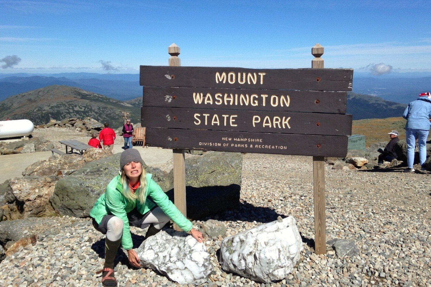
- Mt. Washington can have some pretty intense weather. The world record for the highest wind speed was set on top of this mountain.
Maine – 281.8 mi.
- Maine is the most remote and rugged section of the trail. The 100 Mile Wilderness is the longest stretch of the AT that doesn’t cross a road.
- The Mahoosuc Notch, a traverse through a gap filled with giant boulders, is considered the slowest mile on the AT. When author Casey Handley hiked the notch, it took her almost three hours to get through!
Get Involved
The AT truly is an amazing footpath, but it didn’t just appear there. Thousands of volunteers organized by the Appalachian Trail Conservancy and their 30 volunteer trail clubs help maintain and protect the trail, shelters, and privies every year. Here are a few ways you can help:
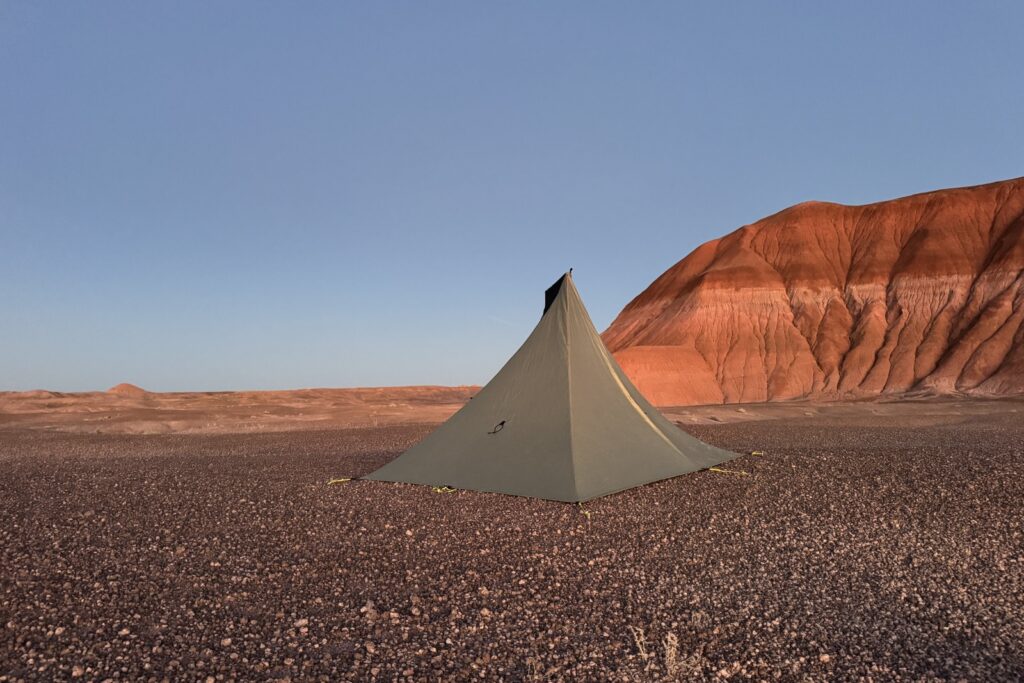
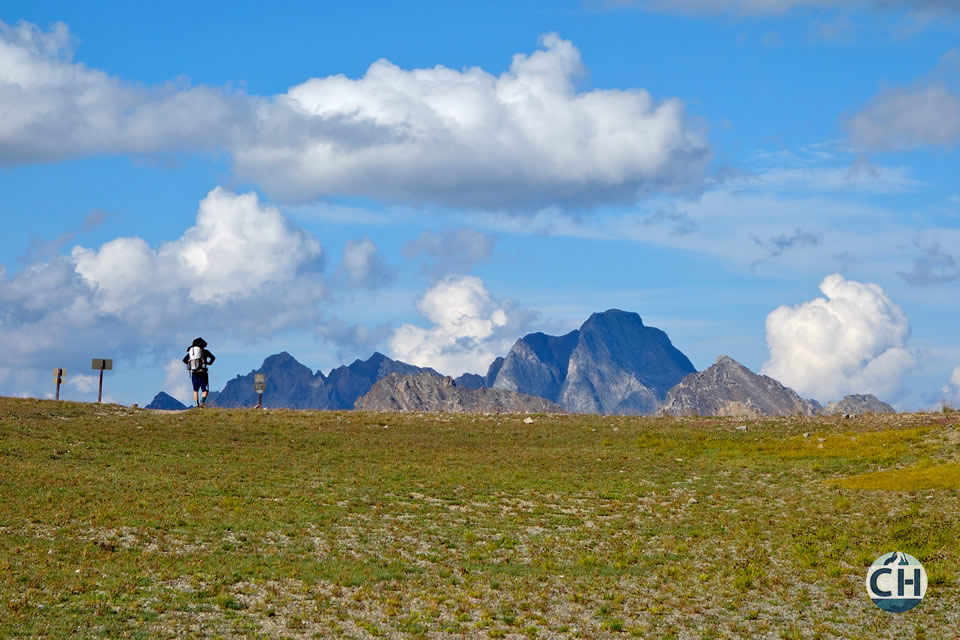
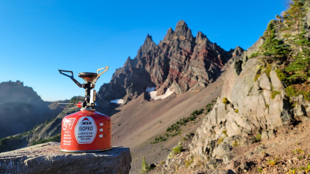
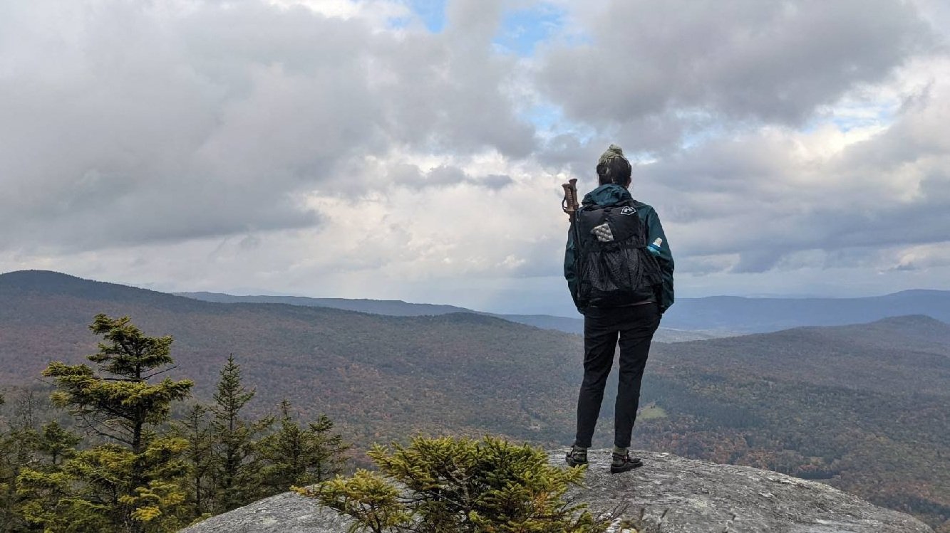
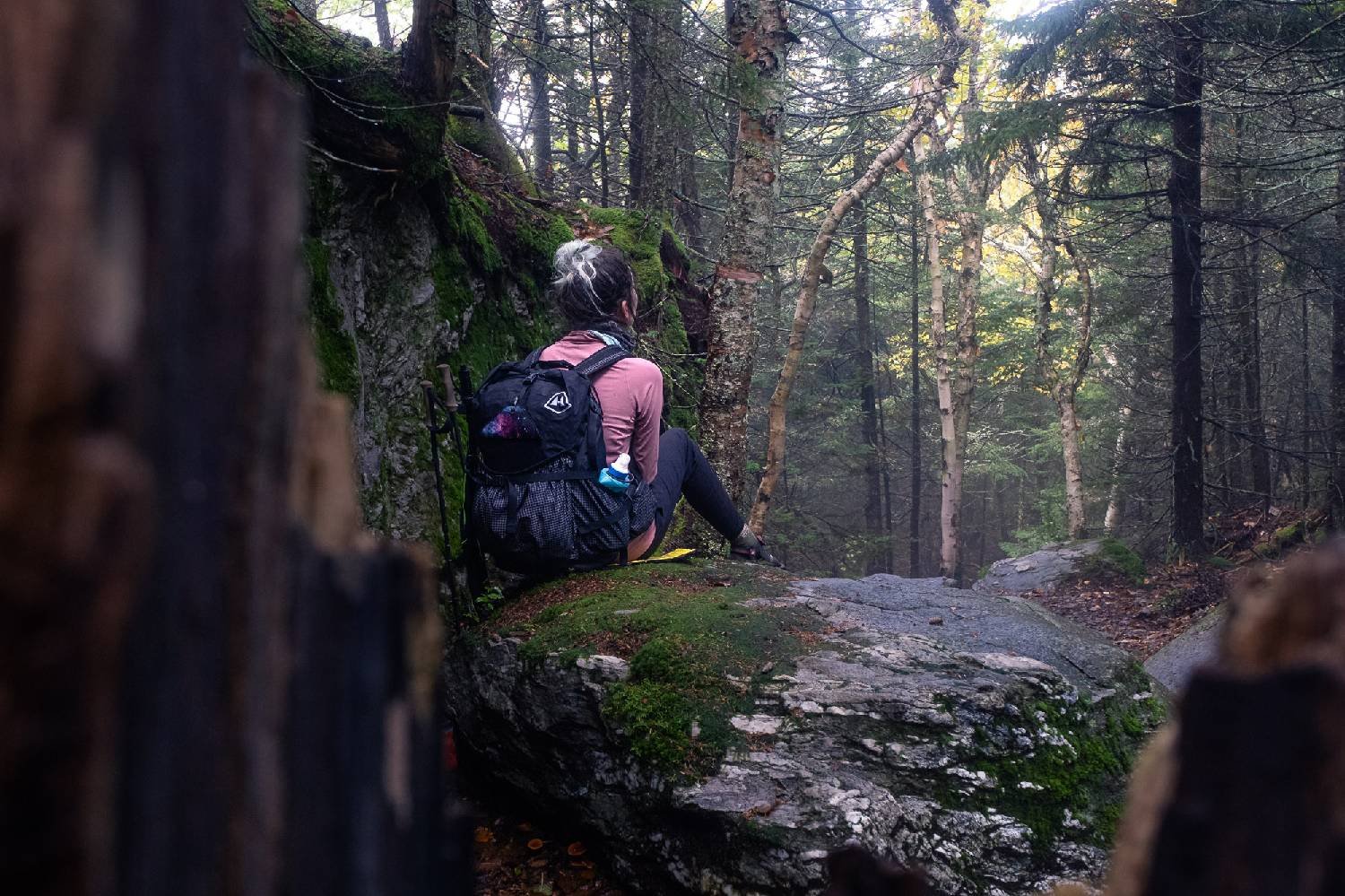
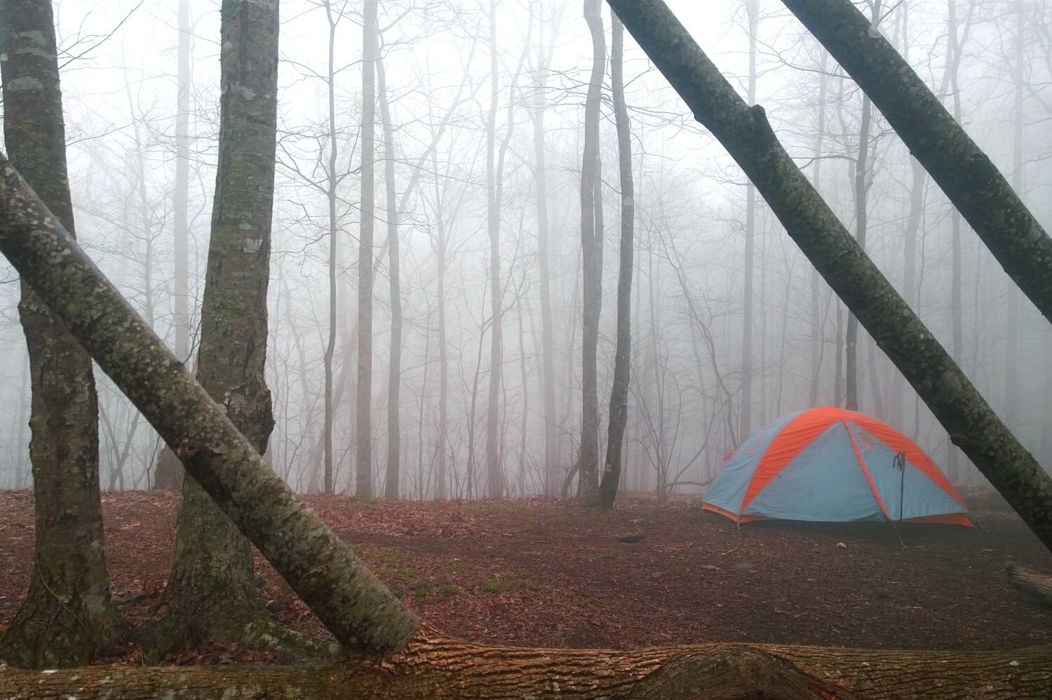
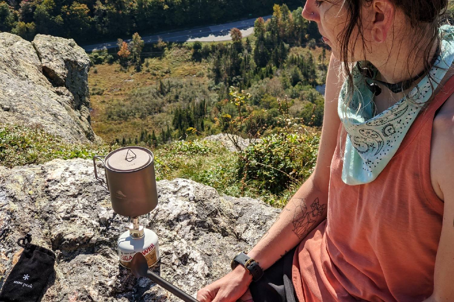
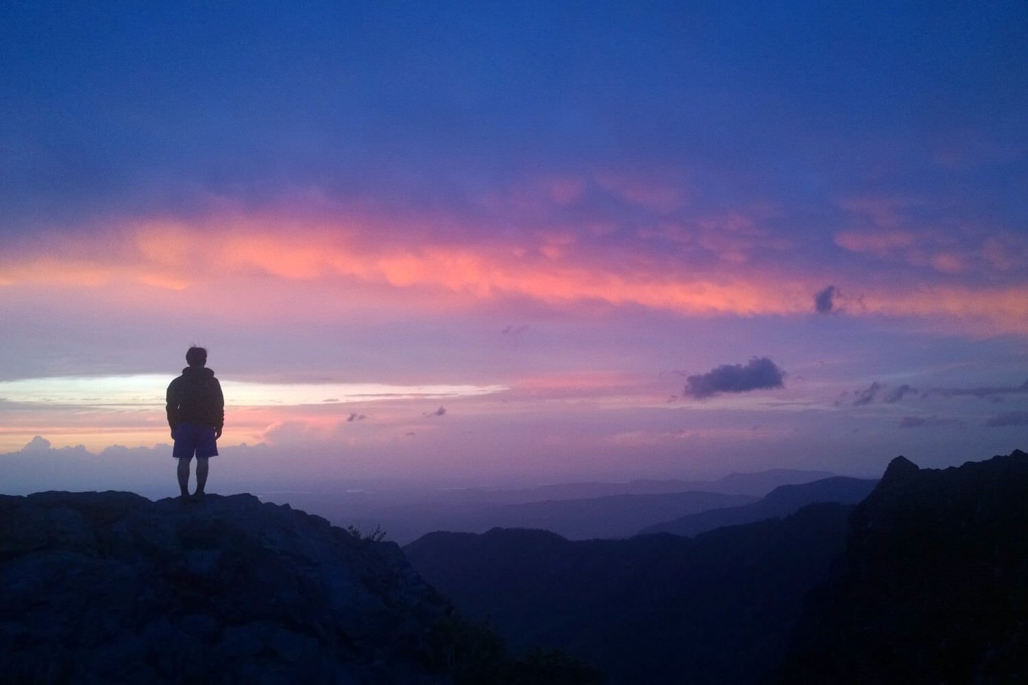
More Appalachian Trail Photos
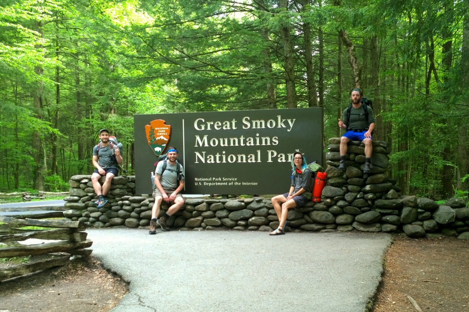
Obligatory GSMNP entrance photo.
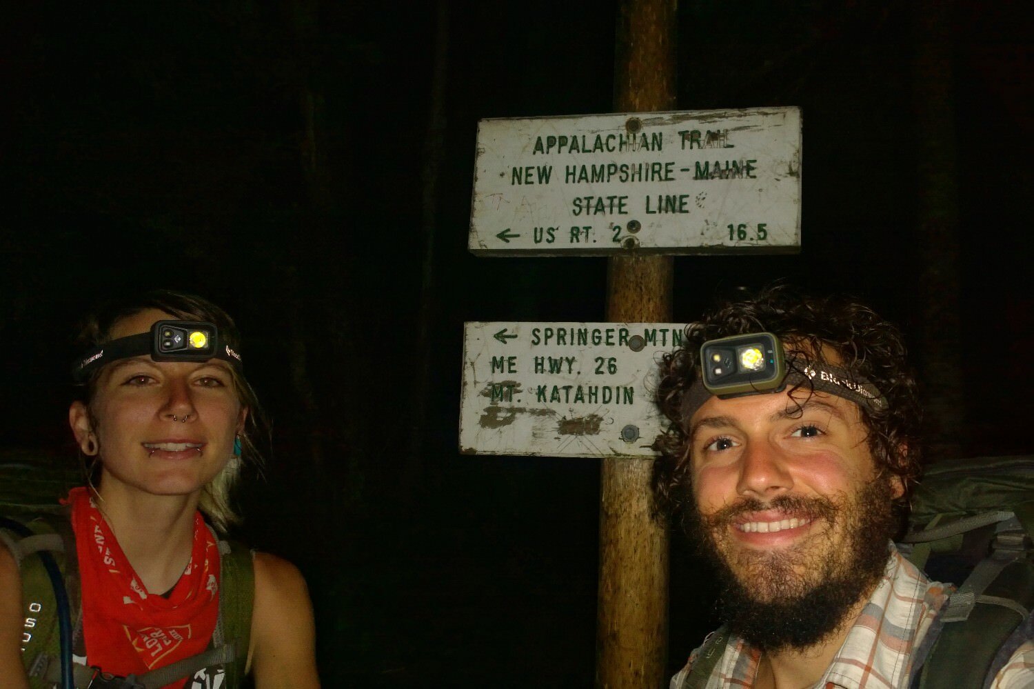
Walking in the dark made possible by headlamps.
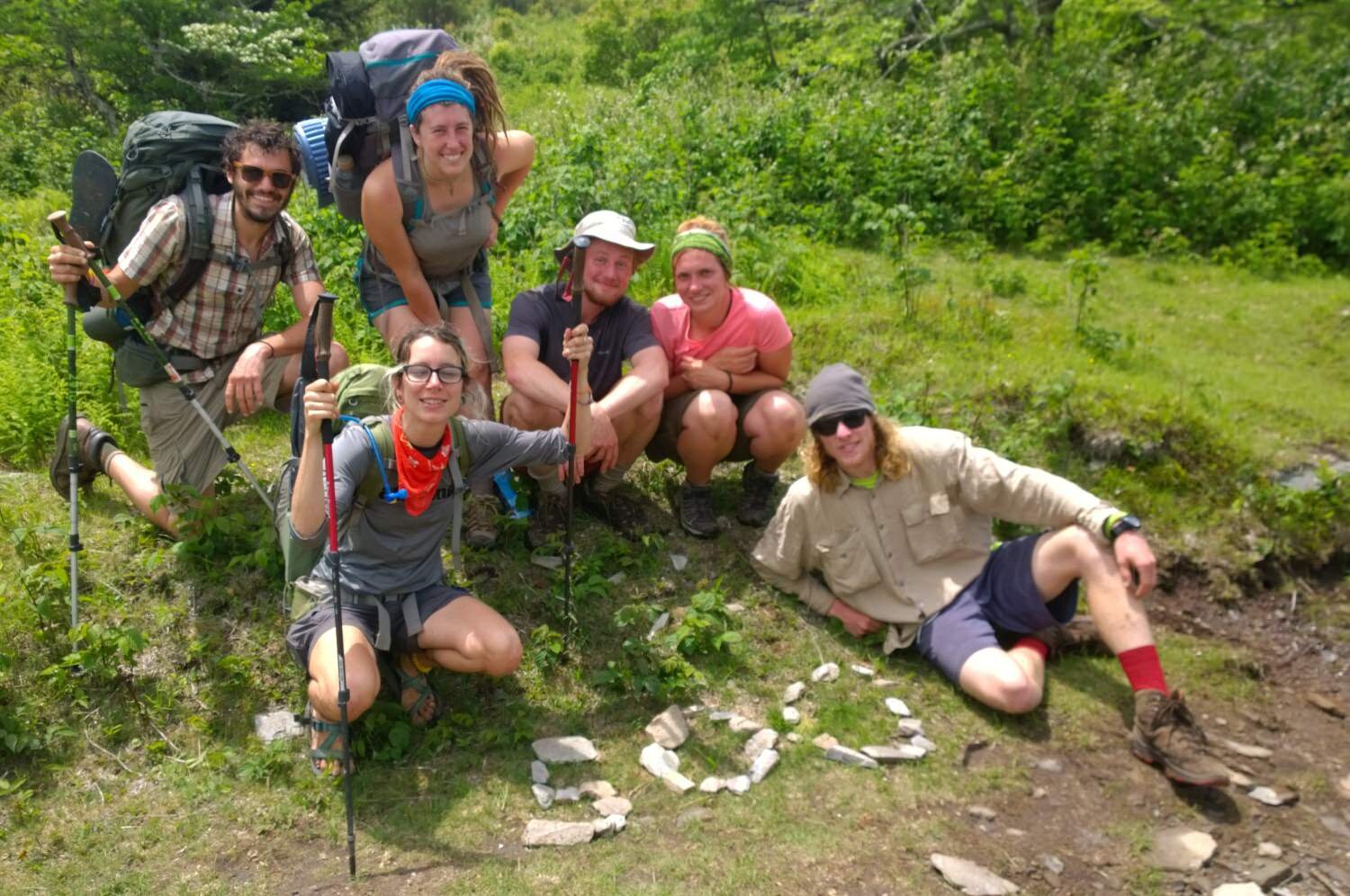
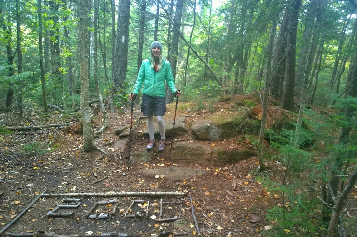
Breaking 500 miles is something to celebrate on the AT.

Obligatory national park entrance photo.

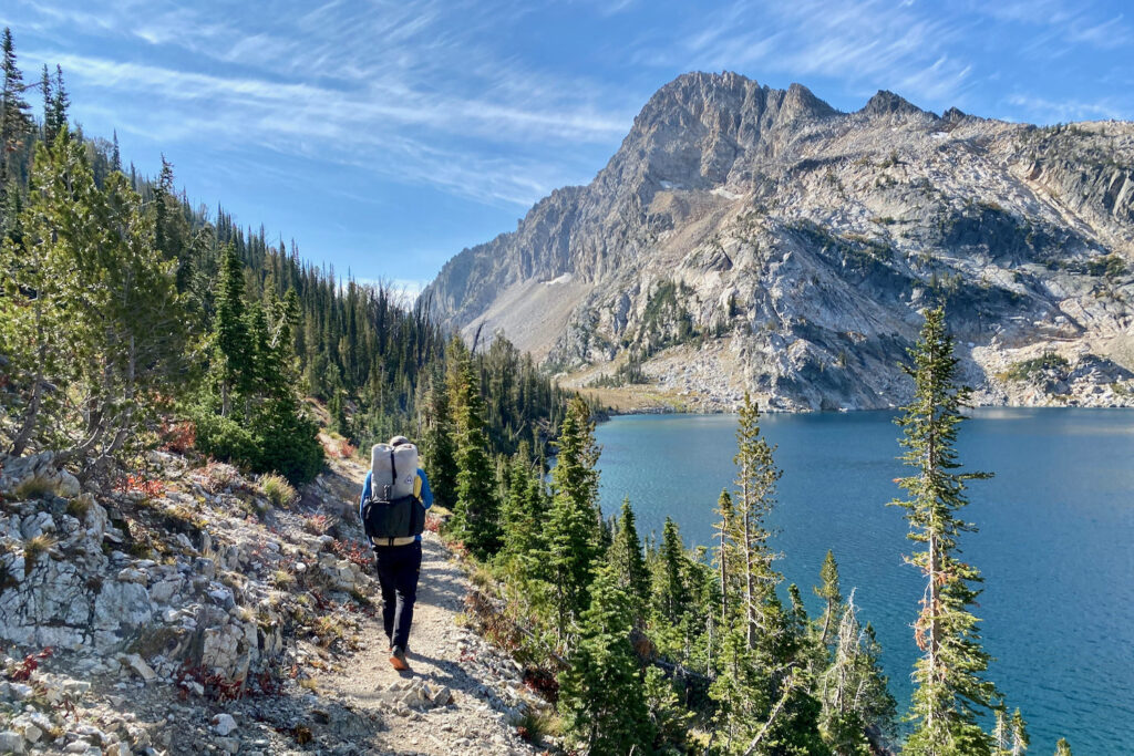
A typical stunning lake view on the Appalachian Trail.

While cairns, stone johnnies, or piled-up rocks are hotly debated topics by LNT practitioners, these seem to send a clear message, “stop, swim, snack here.”

Crossing into another state keeps the journey on the AT exciting.
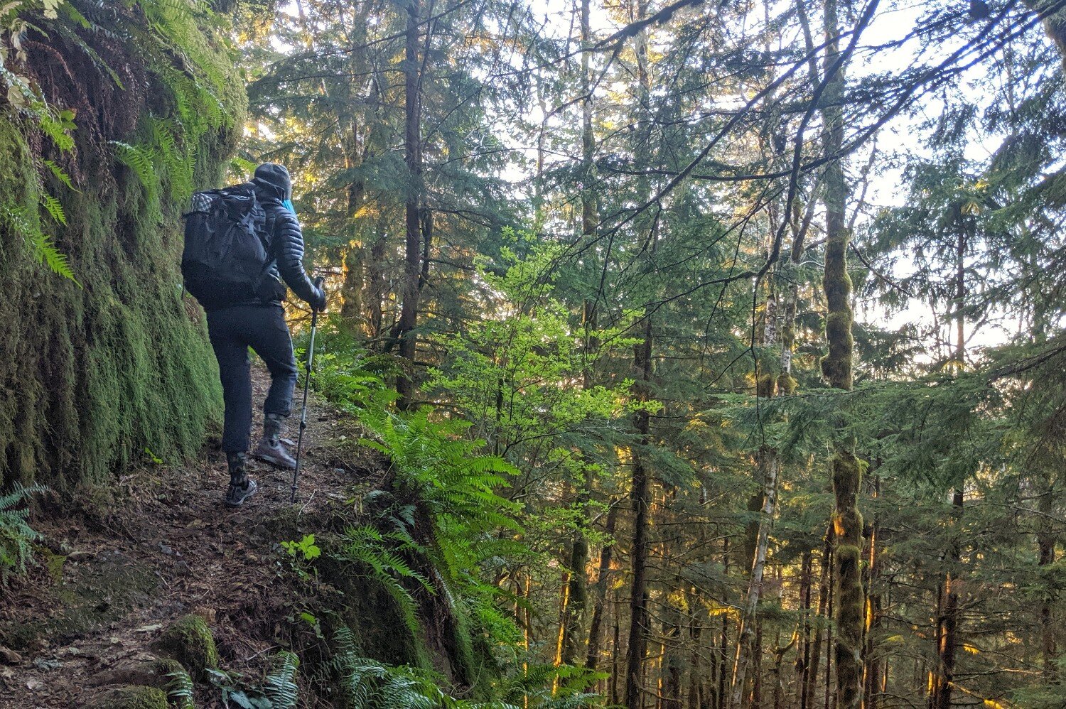
The climbs might be steep on the AT, but the vistas are always worth it.
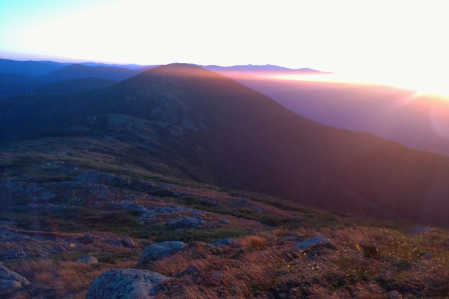
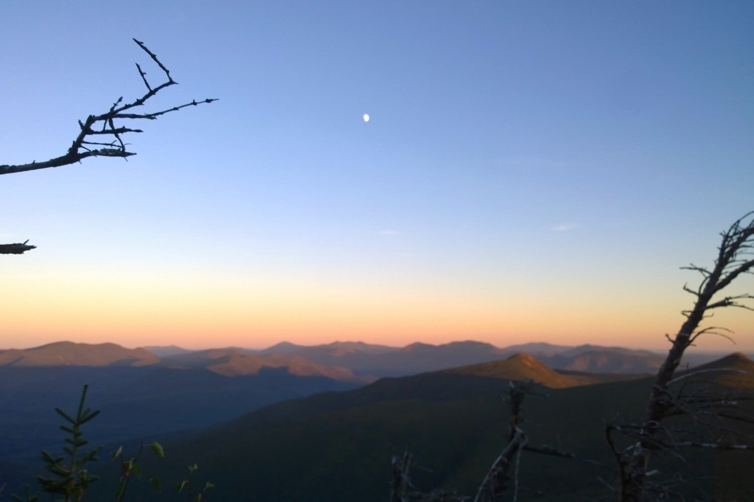
Because of the colder climate, acidic soils, high winds, and moisture, the alpine zones in New England have fewer trees, which means stunning summit views.

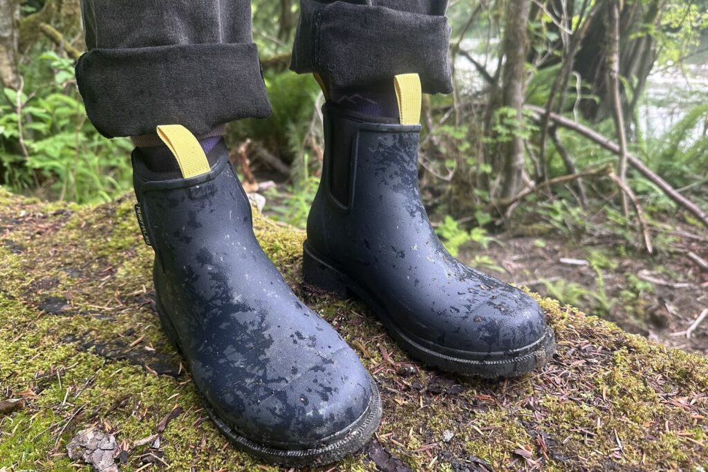
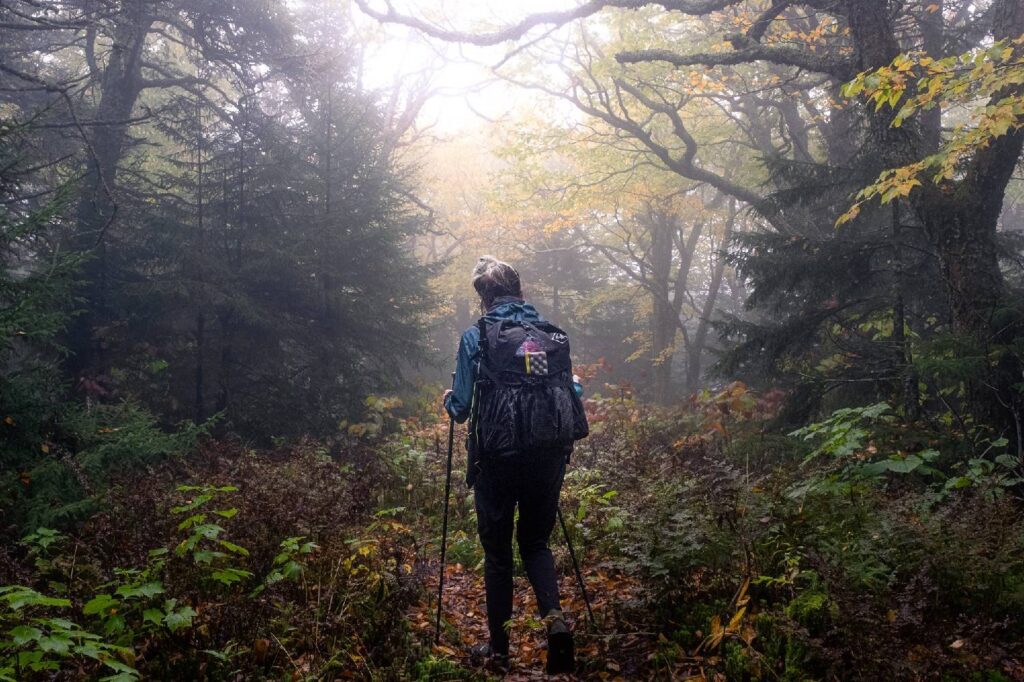
Did we mention it can be wet on the AT?
Casey Handley celebrates a monumental accomplishment of hiking 2000 miles on the Appalachian Trail.
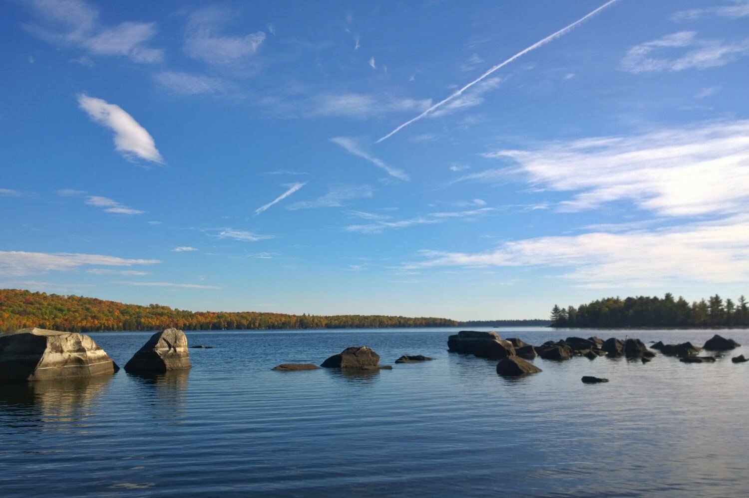
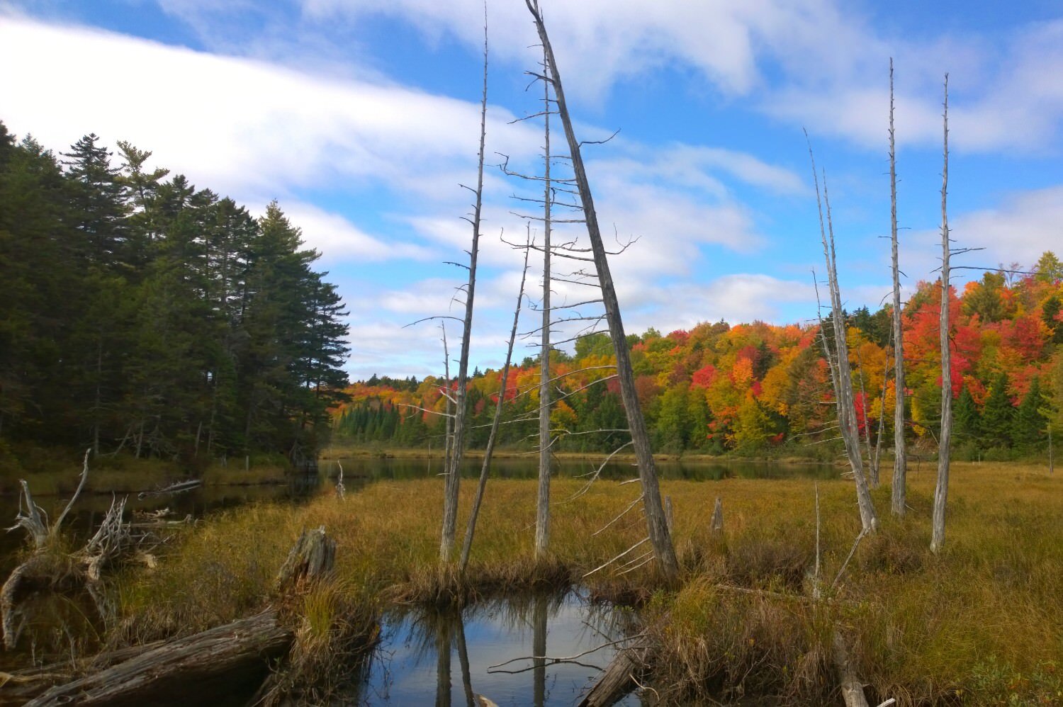
New England lakes have a peaceful beauty unlike any other.