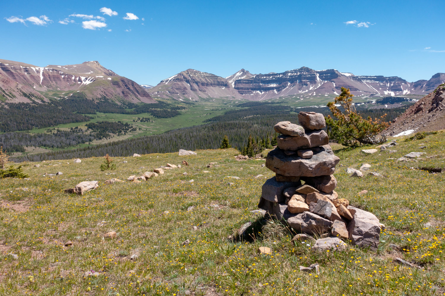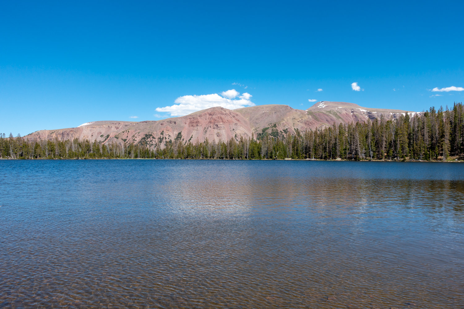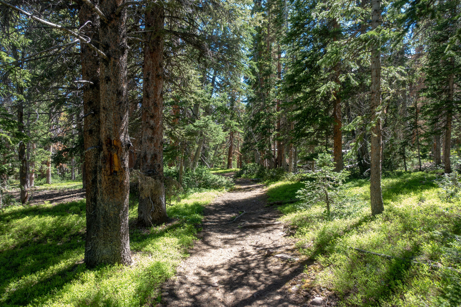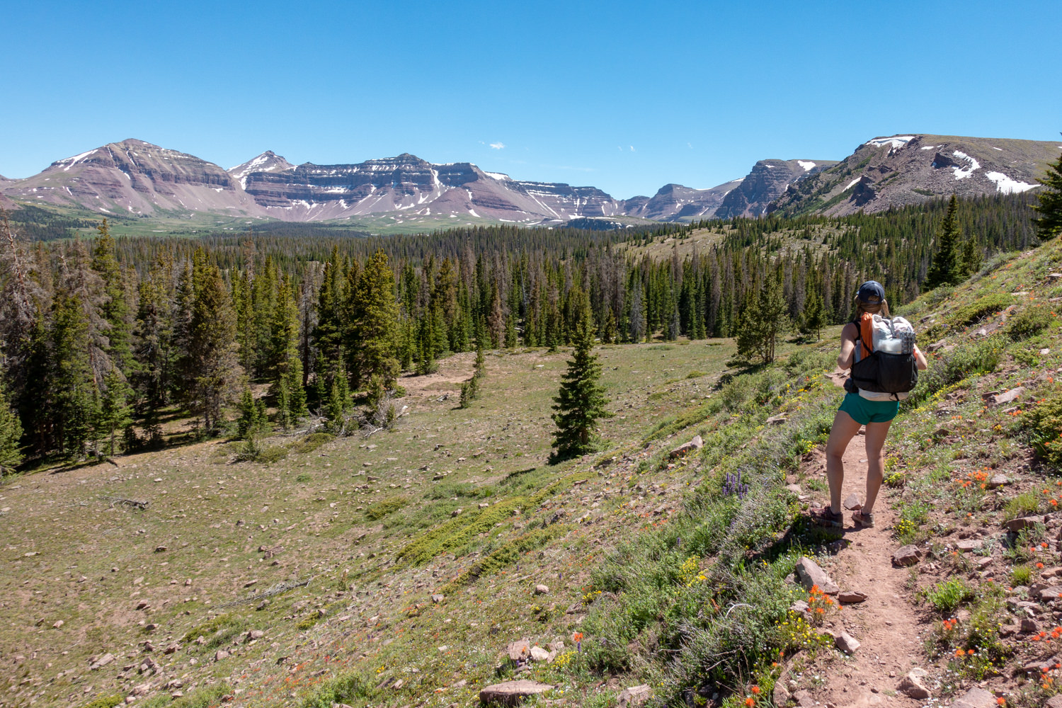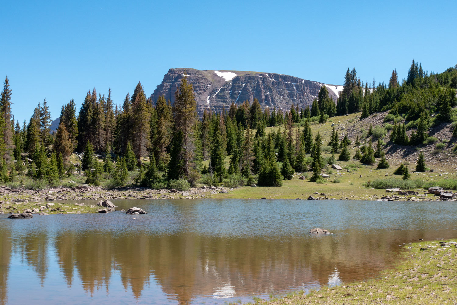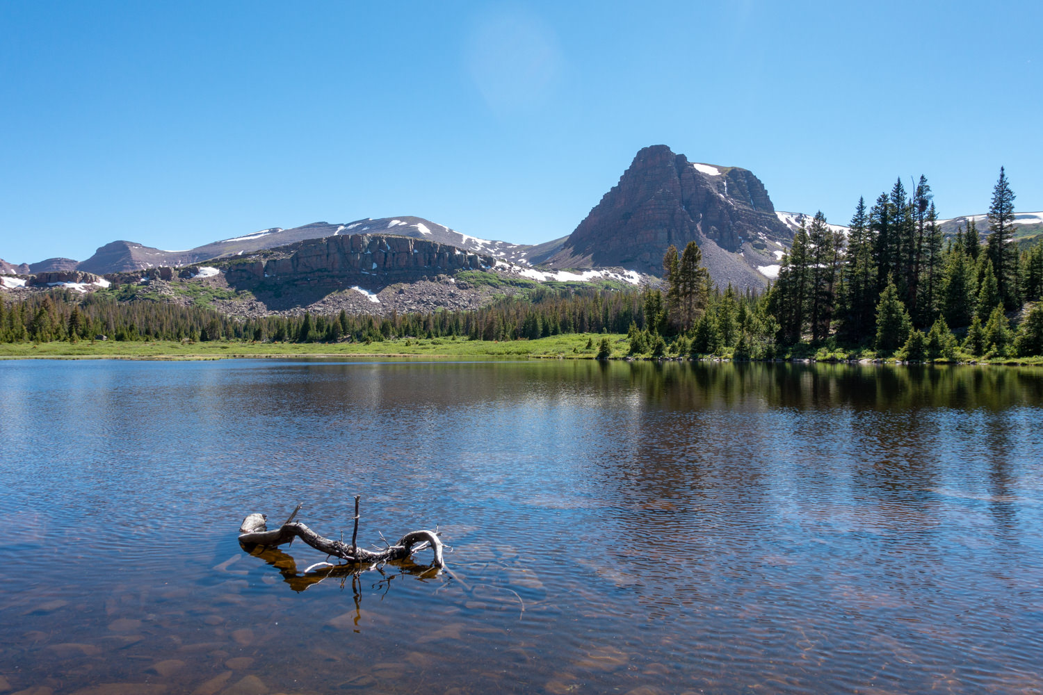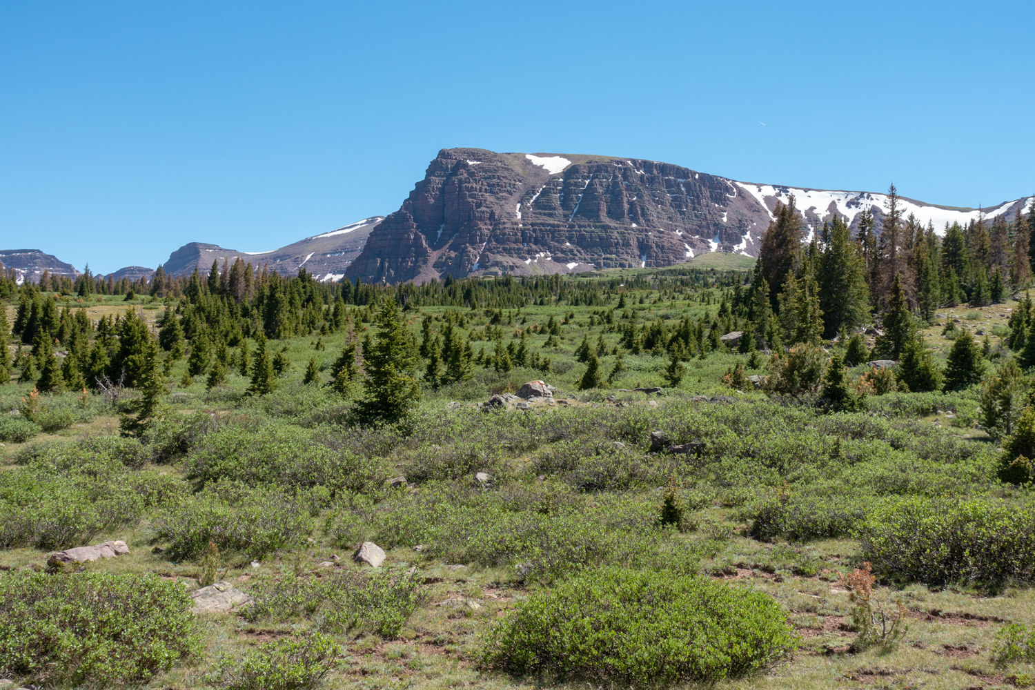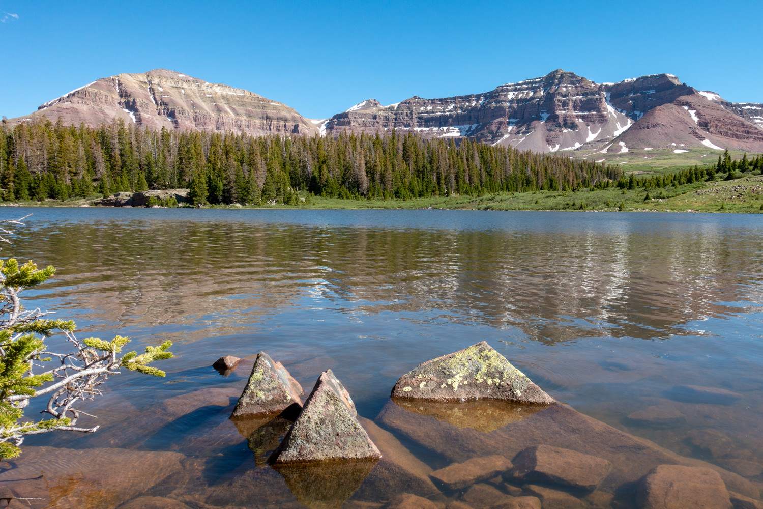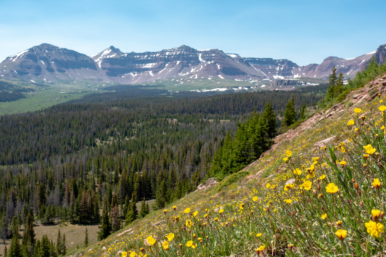
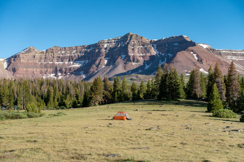
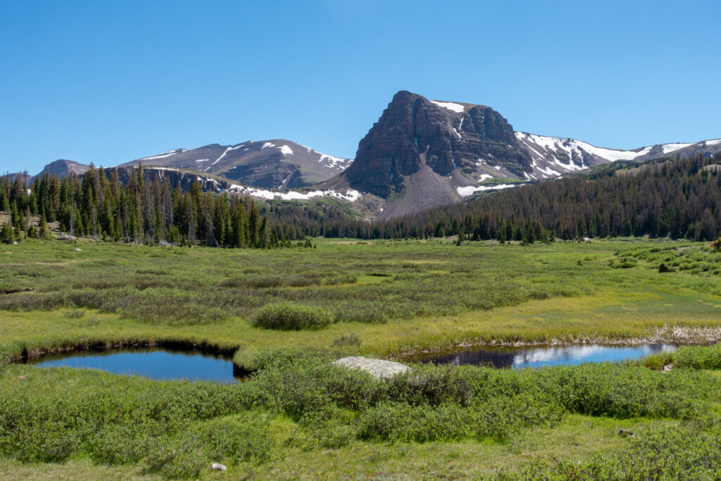
Henry’s Fork Lake Loop is one of our favorite backpacking loops in the High Uintas Wilderness. This loop explores a gorgeous alpine mountain basin with every enticement you dream of — misty mountain meadows, tall pines, small lakes and winding streams that tie it all together. If that weren’t enough, the whole scene is framed by a massive mountain range with Kings Peak at its head. This trip is truly a gem in the High Uintas. Our backpacking guide to Henry’s Fork Lake Loop will help you plan your trip and find some solitude in this scenic slice of Utah.
Quick Facts
Distance: 18.2 miles (29 km) round-trip (depending on itinerary add ons)
Days Needed: 2-3 days (depending on itinerary add ons)
Elevation Gain: 1,532 feet (467 m)
Peak Elevation: 10,830 feet (3,300 m)
Best Travel Time: June – October
Highlights
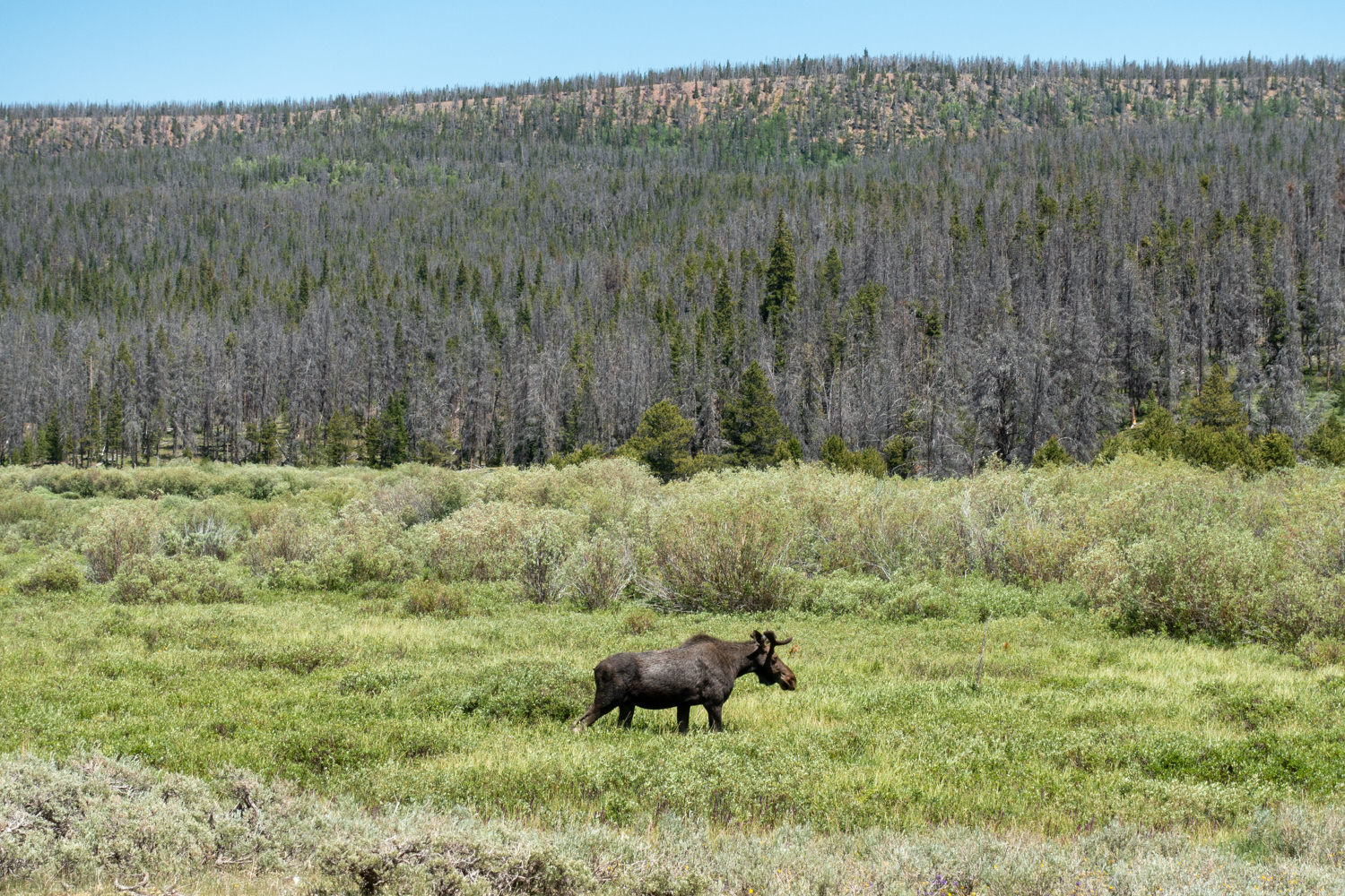
- Possible wildlife sightings, including elk, mule deer, black bear
- Fascinating geology
- Beautiful lakes and rivers
- Tall pines
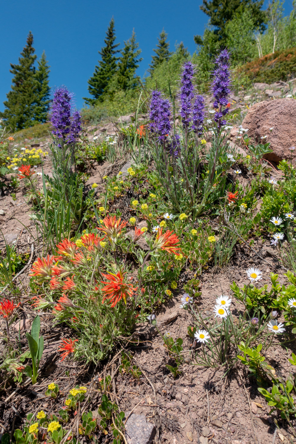
- Beautiful meadows and wildflowers
- Well-maintained trails for the most part
- Dogs allowed
- High-country lake fishing
Lowlights
- Muddy and rocky trails at times
- Mosquitos, horseflies, ticks, and yellow jackets
- Cold/muddy lakes makes swimming tempting but challenging
- Giardia and campylobacter require treating drinking water
Best Time to Travel
July through September offers the best temperatures in the High Uinta Wilderness. Daytime highs are typically in the 70-80s – with afternoon thunderstorms and lightning risks above the treeline. Night temperatures range between 30-40 degrees.
August is the busiest month for backpacking. To avoid the crowds, we recommend visiting this area mid-week or during shoulder seasons. Please check the National Weather Service for the local forecast prior to any backcountry trip.
Difficulty
Henry’s Fork Lake Loop is a moderate backpacking trip. The elevation gain and loss is fairly moderate and gentle – unless you are adding a climb to King’s Peak to your itinerary. Even though this route is not technically demanding, you should plan thoroughly, train properly, know your limitations, brush up on your skills, and dial in your gear for a safer, more enjoyable adventure.
Permits/Fees
There are no permits or fees required for backpacking in this area. For official, up-to-date information, contact the Mt. View Ranger District Office 307-782-6555.
Trailhead
The best way to access this area is by starting at the Henrys Fork Trailhead. This trailhead is on the north side of the range. Take exit 39 off Interstate 80 on Wyoming and turn south on State Route 414. Go 6 miles to Mountain View, WY where route 414 turns west through Mountain View and becomes Route 410 as the road turns south at the west end of town. Drive Route 410 for 6.7 miles toward Robertson, WY to the point where it turns west. From this point, drive Uinta County Road 283 (also named Forest Road 072) south toward Grahams Reservoir and Bridger Lake for 12.1 miles to Forest Road 017. Turn left on Forest Road 017 and continue south 6.8 miles to Forest Road 077. Drive south on Forest Road 077 for 2.8 miles, and turn right on the road to Henry’s Fork Campground and the Henry’s Fork Trailhead.
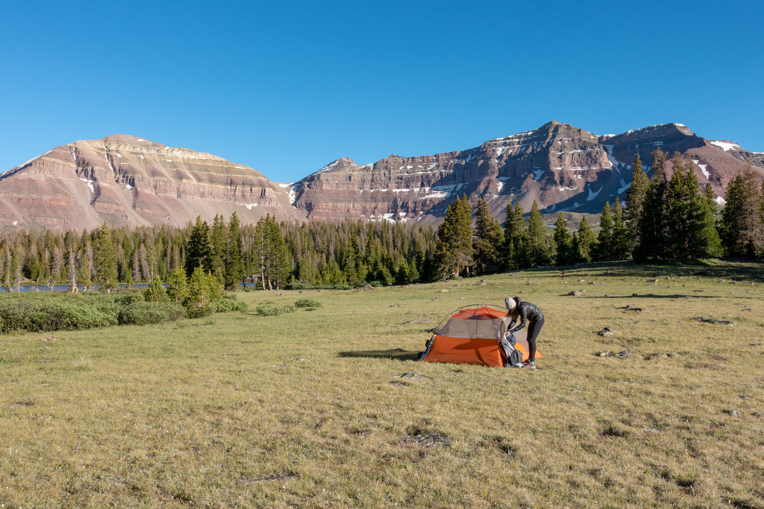
Campsites
Campsites are first come, first serve along this route. We found good options around most lakes in the basin – with the exception of Castle, Blanchard, and Cliff lakes. Always try to camp in designated campsites and make sure they are all 200 feet from lakes and ponds. For those looking to climb King’s Peak, you’ll most likely want to set up a base camp at Dollar or Henry’s Fork lake.
- Dollar Lake 7.5 miles
- Henrys Fork Lake 9.1 miles
- Vicinity of Gunsight Pass, about 3 miles beyond Dollar Lake
Possible Itineraries
Dollar Lake makes a good basecamp for climbing Kings Peak, which means that it is often crowded. Henrys Fork Lake may be slightly less crowded. The lakes on the west side of the Henry’s Fork loop tend to see less traffic, so they’re a good option as well.
There is an option to connect Henry Forks Loop to Red Castle Lakes, but the connecting trails are very hard to follow and non-existent at times. Connecting these two areas will require excellent map reading skills, following cairns/blazes, and using GPS as you go past the Lake Hessie turnout. The view from the top of range is stunning (also a good day hike option), but we would only recommend this route for experienced backpackers.
Two Day Itinerary
Starting trailhead: Henrys Fork
Ending trailhead: Henrys Fork
- Day 1 – Hike to Dollar Lake or Henry Fork Lake
- Day 2 – Return to Henrys Fork TH
Total mileage: 15.1 miles (depending on where you camp)
Three Day Itinerary
Starting trailhead: Henrys Fork
Ending trailhead: Henrys Fork
- Day 1 – Hike to Dollar Lake, basecamp
- Day 2 – Hike to Kings Peak and return to camp
- Day 3 – Return to Henrys Fork Trailhead
Total mileage: 28.8 miles
Maps & Guidebooks
- Hiking Utah’s High Uintas: A Guide to the Region’s Greatest Hikes by Brett Prettyman, an outdoors editor for the Salt Lake City Tribune. This guide includes descriptions of 99 routes throughout the backcountry wilderness of Utah’s Uinta Mountains and High Uintas Wilderness, including easy day hikes to great fishing spots, adventurous treks to remote campsites, and extended backpacking trips for intrepid wilderness travelers.
- National Geographic High Uinta’s Wilderness Trails Illustrated Map This map covers the High Uintas Wilderness, as well as the Ashley and Wasatch-Cache National Forests. It features key points of interest and is printed on “Backcountry Tough” waterproof, tear-resistant paper. A full UTM grid is printed on the map to aid with GPS navigation.
- 60 Hikes Within 60 Miles: Salt Lake City by Greg Witt. This book includes many of the best hikes in the Western Uintas with detailed trail descriptions that range from easy strolls to challenging backpacks. Extensive key-at-a-glance information makes it easier to choose a hike based on length, difficulty, or scenery.
- Gaia Phone app GPS and Caltopo Mapping Software – We use both these services for many of our backpacking trips to assist with route planning (Caltopo) and on-trail navigation (Gaia).
Water
Water is plentiful and accessible via small streams and lakes along the Henrys Fork Trail. The water may look pure, but you will need a reliable water filter due to Giardia and Campylobacter contamination.

Regulations
Visit the Forest Service website for a full list of wilderness regulations in this area. We observed the following best practices for backpacking:
- Stay on designated trails and do not cut switchbacks.
- Select a campsite 200 feet from trails or streams.
- Wash yourself and dishes away from water sources and only use biodegradable soap when necessary.
- Bury human waste and fish entrails at least 6-8″ deep and 200 feet away from water sources.
- Campfires are prohibited near some lakes in this area – always obey posted signs.
Critters & Food Storage
The US Forest Service does not require bear cannisters for this area. That said, you should protect your food, yourself – and bears – by packaging all your food and scented products in an Ursack. We prefer the AllMitey Bear & Critter Sack because it’s the only Ursack that’s both bearproof and rodent proof (and rodents are often more dangerous than bears due to the diseases they can transmit).
Bugs
Mosquitoes can be pretty vicious, especially early in the season and near bogs and water sources. Hiking later in the season may be bug-free, but we usually bring some bug repellent just in case. Use a combination of permethrin on your clothing and picaridin on your skin to provide full protection.
Gear List
Make sure to check out our Ultimate Backpacking Checklist, so you don’t forget something important.
Below you’ll find our current favorite backpacking gear. If you want to see additional options, our curated gear guides are the result of many years of extensive research and hands-on testing by our team of outdoor experts.
BACKPACK
- Best Backpacking Pack Overall: Gregory Paragon 58 – Men’s / Gregory Maven 58 – Women’s
- Best Ultralight Backpacking Backpack: Hyperlite Mountain Gear Unbound 40
- More: Check out our best backpacking backpacks guide for ultralight and trekking options
TENT
- Best Backpacking Tent Overall: Big Agnes Copper Spur HV UL2
- Best Ultralight Tent: Zpacks Duplex
- Best Budget Tent: REI Half Dome 2
- Best Tent Stakes Overall: All One Tech Aluminum Stakes
- More: Check out our best backpacking tents guide for more options
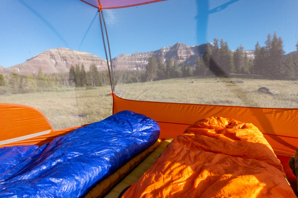
SLEEPING BAG/QUILT
- Best Sleeping Bag Overall: Men’s Feathered Friends Swallow YF 20 / Women’s Feathered Friends Egret YF 20
- Best Quilt Overall: Enlightened Equipment Revelation 20
- More: Check out our best backpacking sleeping bags guide and best backpacking quilts guide for more options
SLEEPING PAD
- Best Sleeping Pad Overall: NEMO Tensor All-Season
- Best Foam Sleeping Pad: NEMO Switchback
- More: Check out our best backpacking sleeping pads guide for ultralight and trekking options
CAMP KITCHEN
- Best Backpacking Stove Overall: MSR PocketRocket 2
- Best Backpacking Cookware Overall: TOAKS Titanium 750ml
- Best Backpacking Coffee Overall: Starbucks VIA
- More: Check out our best backpacking stoves guide and best backpacking cookware guide for ultralight and large group options
WATER & FILTRATION
- Best Water Filter Overall: Sawyer Squeeze
- Best Hydration Bladder Overall: Gregory 3D Hydro
- Best Backpacking Water Bottles: Smartwater Bottles
- More: Check out our best backpacking water filters guide and best backpacking water bottles guide for ultralight and large group options
CLOTHING
- Best Hiking Pants Overall: Men’s Outdoor Research Ferrosi / Women’s The North Face Aphrodite 2.0
- Best Hiking Shorts Overall: Men’s Patagonia Quandary / Women’s Outdoor Research Ferrosi
- Best Women’s Hiking Leggings: Fjallraven Abisko Trekking Tights HD
- Best Rain Jacket Overall: Men’s Patagonia Torrentshell 3L / Women’s Patagonia Torrentshell 3L
- Best Rain Pants: Men’s Patagonia Torrentshell 3L / Women’s Patagonia Torrentshell 3L
- Best Down Jacket Overall: Men’s Patagonia Down Sweater Hoodie / Women’s Patagonia Down Sweater Hoodie
- Best Fleece Jacket Overall: Men’s Patagonia Better Sweater / Women’s Patagonia Better Sweater
- Best Sunshirt Overall: Men’s Outdoor Research Echo / Women’s Outdoor Research Echo
- Best Socks Overall: Men’s Darn Tough Light Hiker Micro Crew / Women’s Darn Tough Light Hiker Micro Crew
- Beste Ultralight Liner Glove: Patagonia Capilene Midweight Liner
- More: Check out our best backpacking apparel lists for more options
FOOTWEAR & TRACTION
- Best Hiking Shoes Overall: Men’s HOKA Speedgoat 6 / Women’s HOKA Speedgoat 6
- Best Hiking Boots Overall: Men’s Salomon X Ultra 5 GTX / Women’s Lowa Renegade Evo GTX
- Best Hiking Sandals Overall: Men’s Chaco Z/1 Classic / Women’s Chaco Z/1 Classic
- Best Camp Shoes Overall: Crocs Classic Clogs
- Best Traction Device for Hiking Overall: Kahtoola MICROspikes
- More: Check out our best backpacking footwear lists for more options
NAVIGATION
- Best GPS Watch Overall: Garmin Instinct 2 Solar
- Best Personal Locator Beacon (PLB): Garmin inReach Mini 2
- More: Check out our article How to Use Your Phone as a GPS Device for Backpacking & Hiking to learn more
FOOD
FIRST-AID & TOOLS
- Best First-Aid Kit Overall: Adventure Medical Kits Ultralight/Watertight .7
- Best Pocket Knife Overall: Kershaw Leek
- Best Multitool Overall: Leatherman Wave+
- Best Headlamp Overall: Black Diamond Spot 400-R
- Best Power Bank Overall: Nitecore NB 10000 Gen 3
- More: Check out our best first-aid kit guide, best pocket knife guide, best multitool guide, best backpacking headlamps guide, and best power banks guide for more options
MISCELLANEOUS
- Best Trekking Poles Overall: Black Diamond Pursuit
- Best Backpacking Chair Overall: REI Flexlite Air
- Best Backpacking Stuff Sack Overall: Hyperlite Mountain Gear Drawstring
- More: Check out our best trekking poles guide, best backpacking chairs guide, and best stuff sacks guide for more options
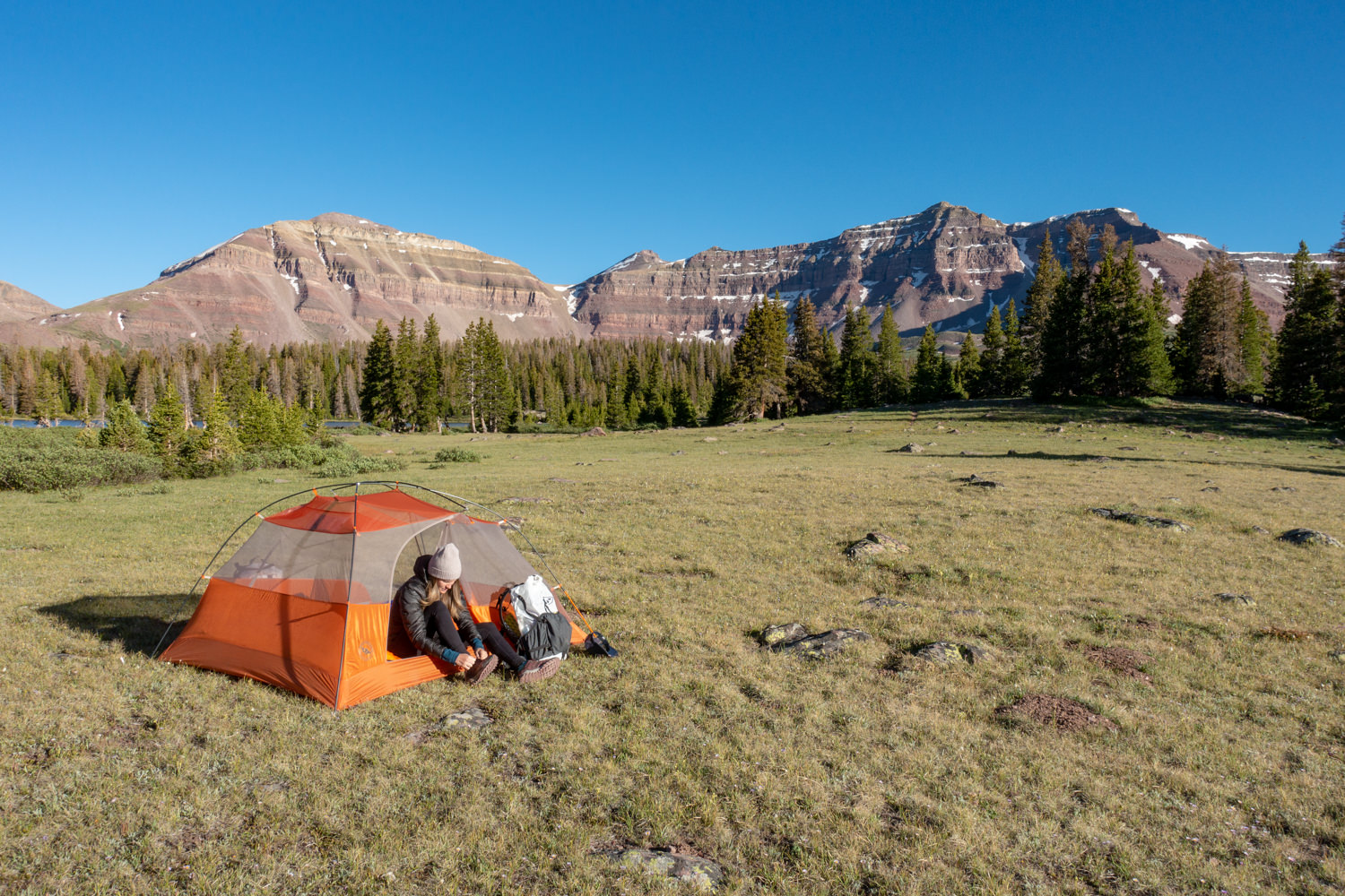
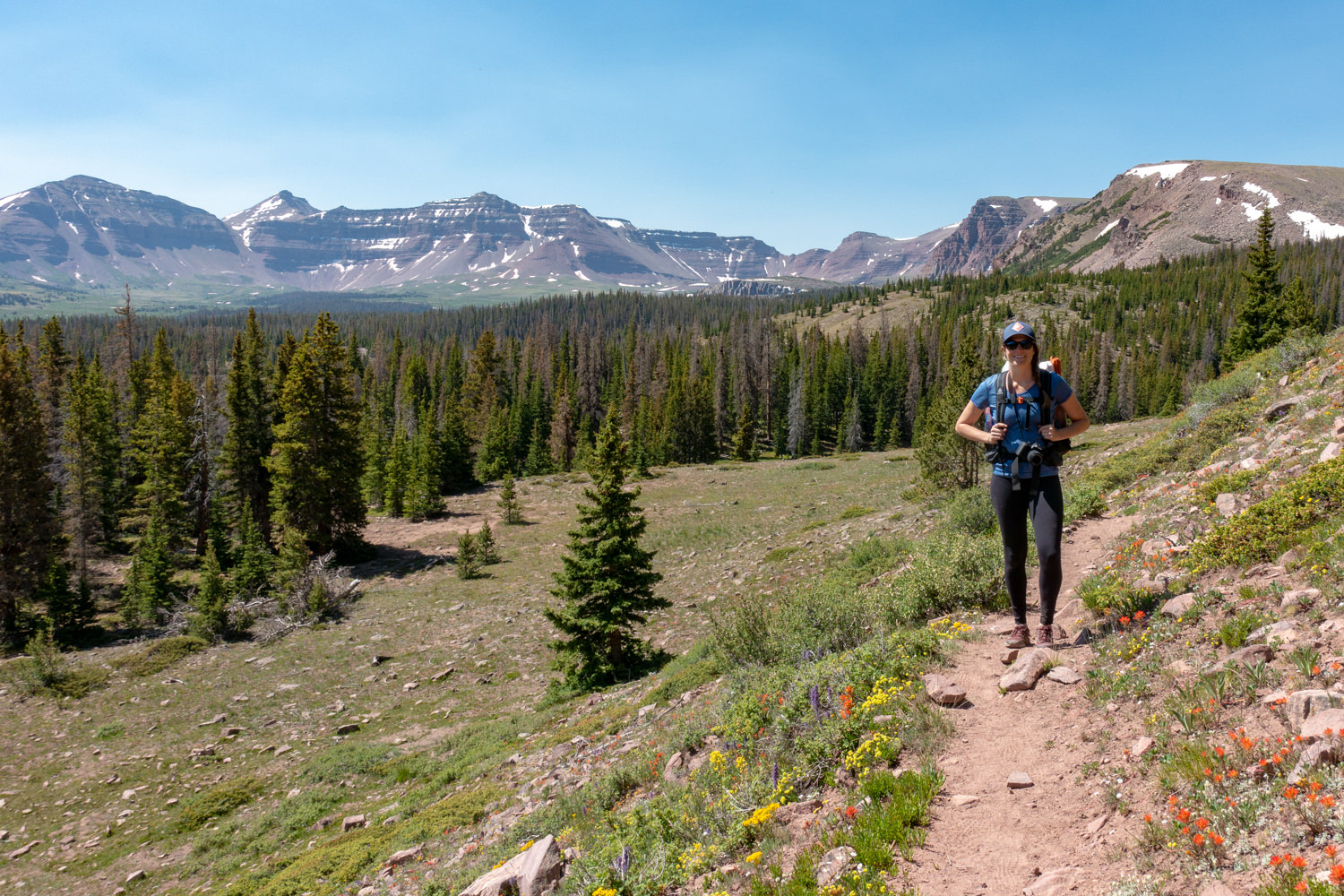
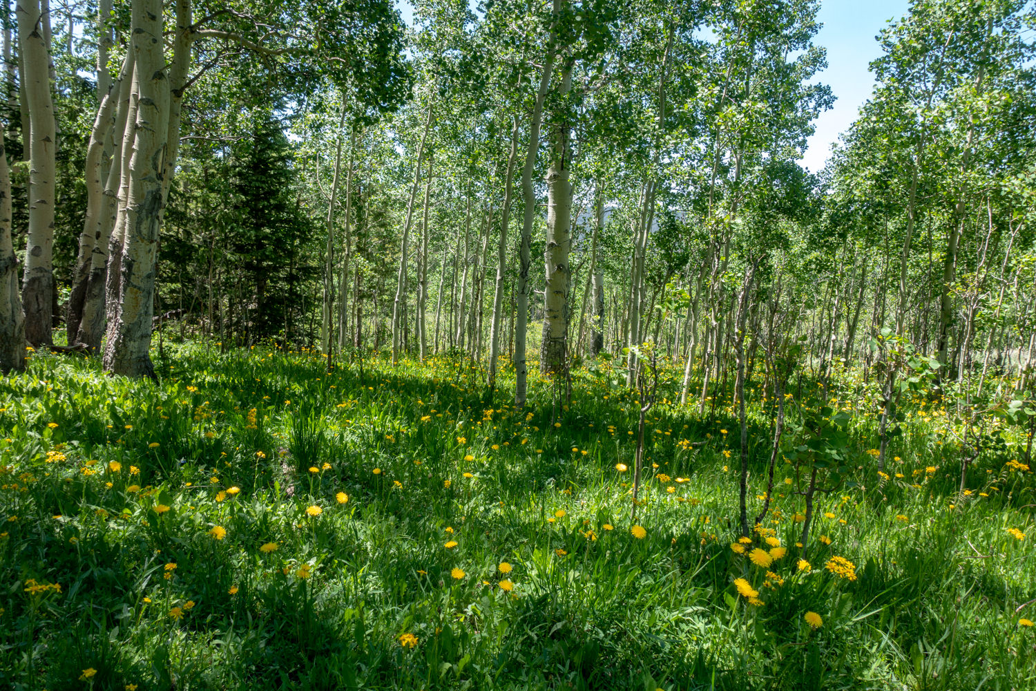
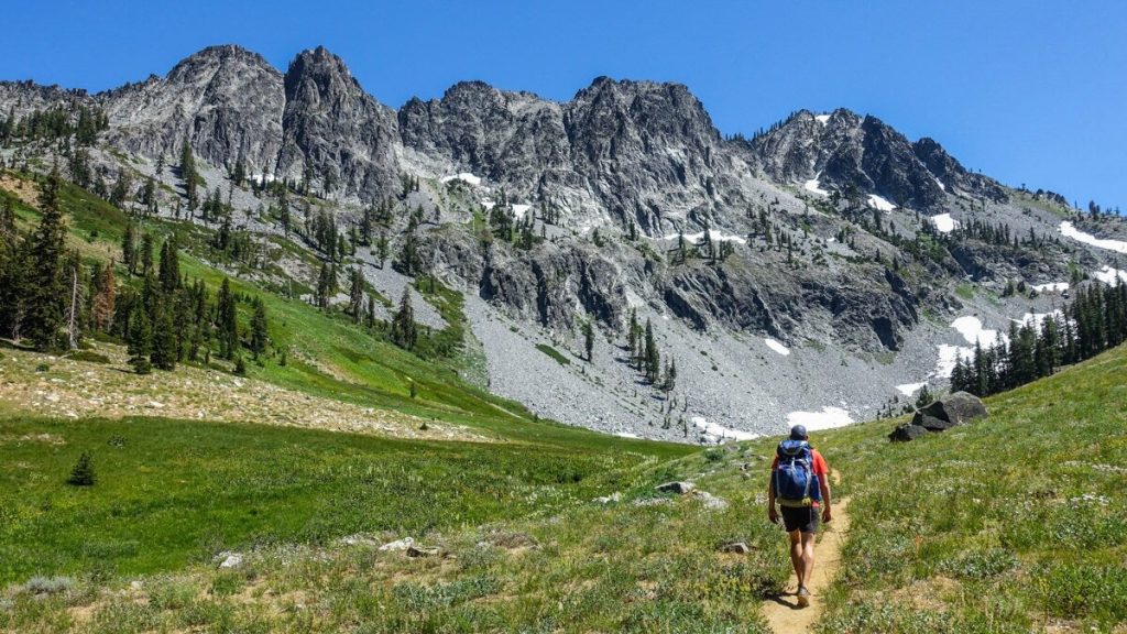
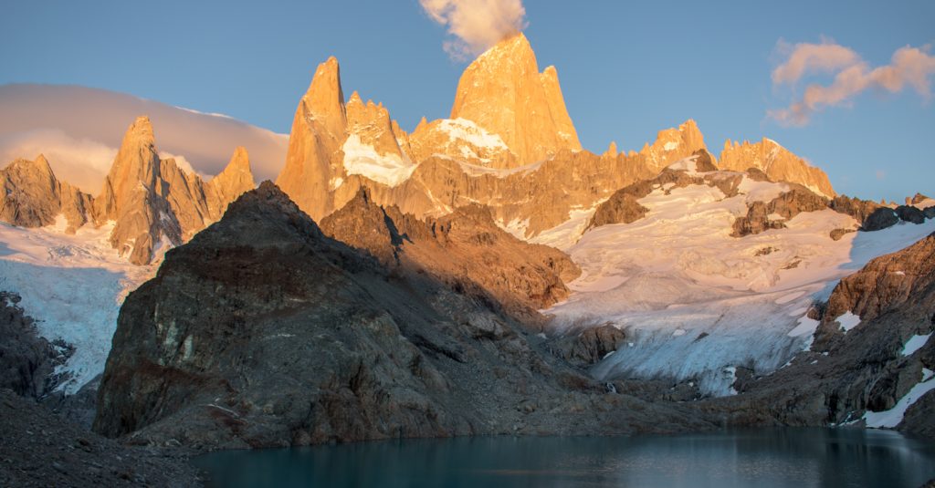
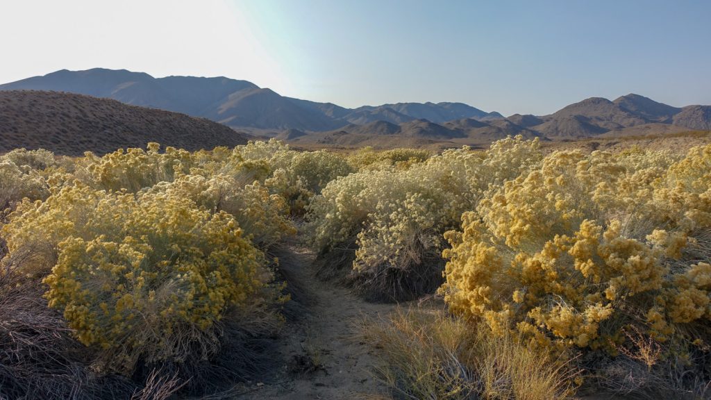
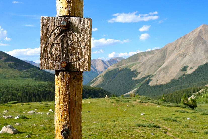
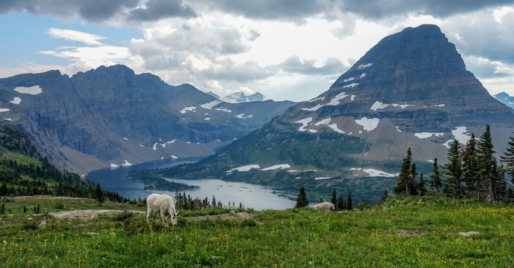
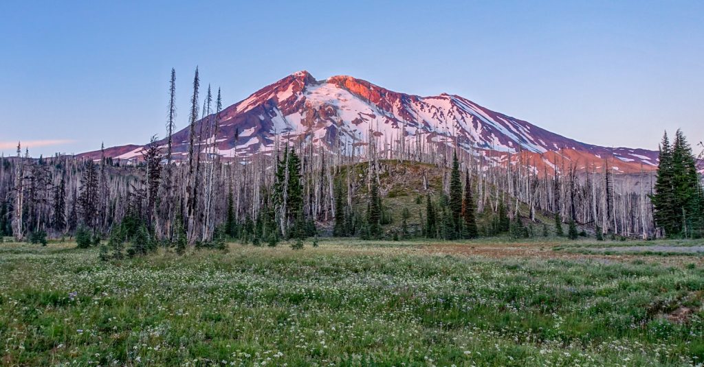
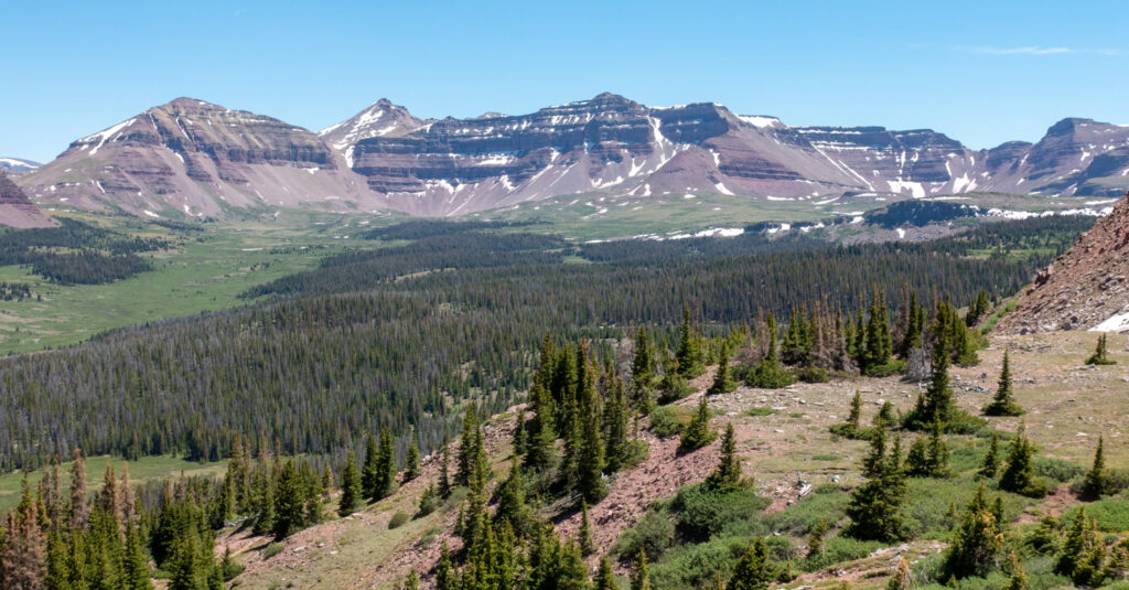
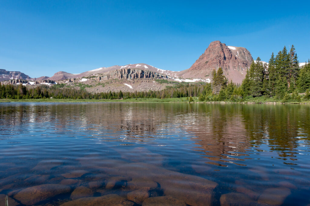
More Henry’s Fork Photos