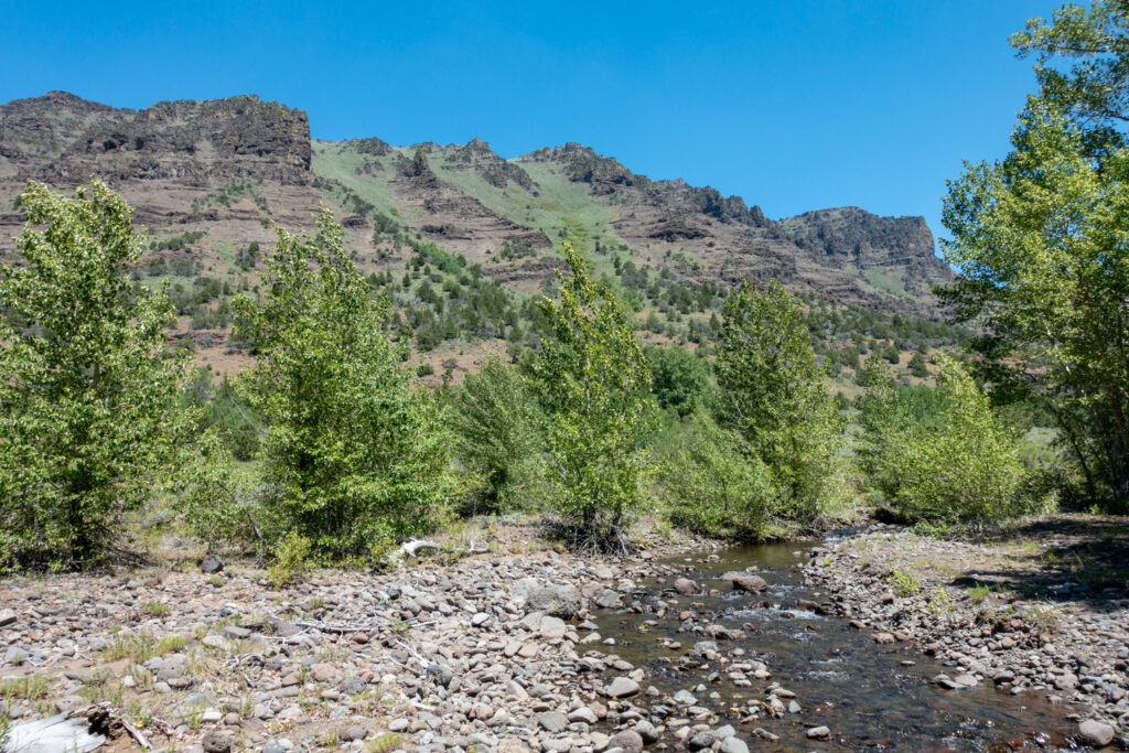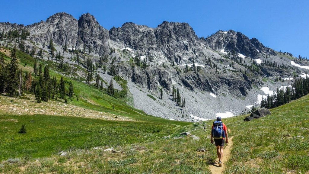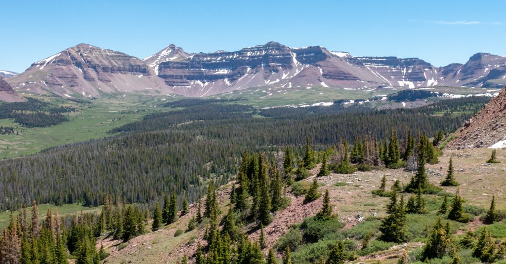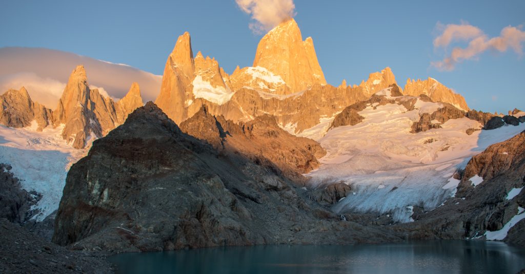

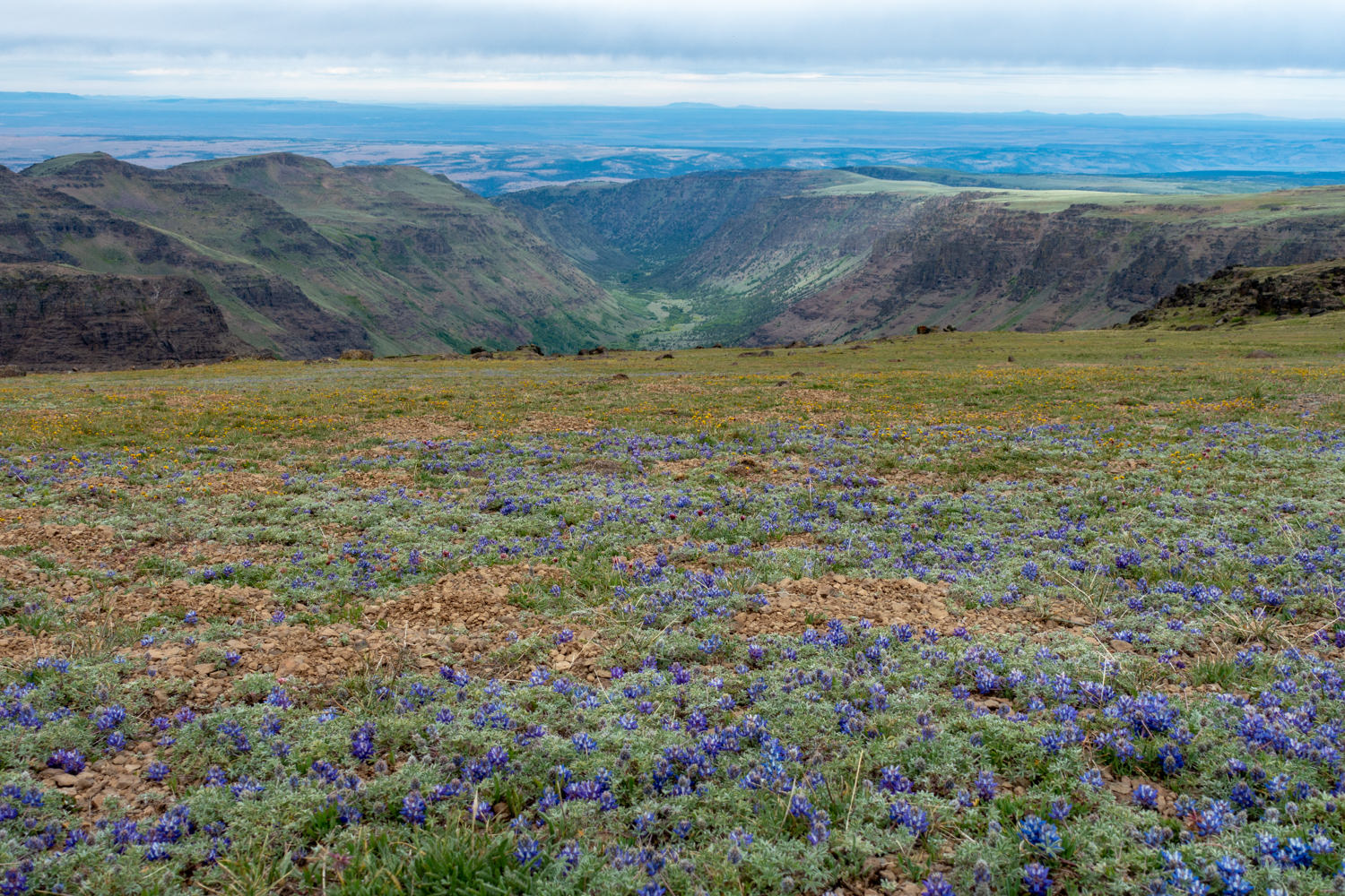
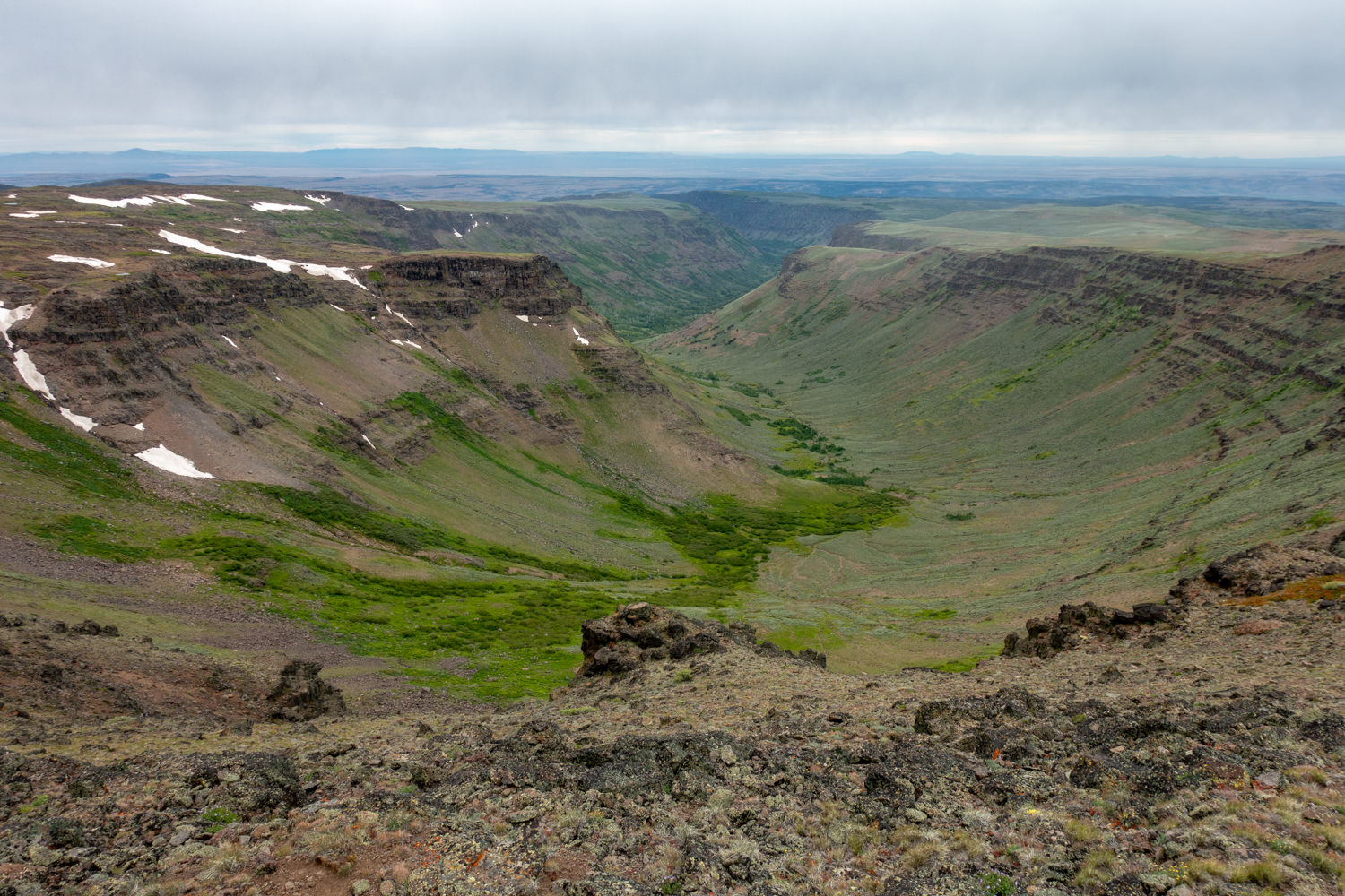
Heading toward the southeast corner of Oregon, a panorama of raw wilderness stretches across the horizon, beckoning solitude seekers. The Steens Mountain monolith runs nearly 60 miles from northeast to southwest and 18 miles across, with its summit at nearly 9,800 feet. Massive, U-shaped gorges run almost a half-mile deep on the western side of the Steens. On the east side, you’re treated to views of a near-vertical 5,500-foot drop to the expansive Alvord Desert, which offers 30 miles of alkaline playa. It’s a landscape unlike any other and worth the drive.
Hiking options range from high desert washes to subalpine meadows and lush green canyons. In this guide, we’ll help you plan your next unforgettable adventure into one of Oregon’s best-kept secrets.
Quick Facts
- Distance: Varies, depending on the itinerary
- Days Needed: 2 to 5 days
- Peak Elevation: 9,738 feet
- Best Travel Time: July through early October
- Permits: None
- Difficulty: Easy to difficult
Highlights
- Stunning vistas from the multitude of ridgelines and summits
- Variable terrain from high desert to alkaline playa
- Decent solitude
- Dogs permitted
- Hot springs
- Decent wildlife sightings
- Summer wildflowers
- The most scenic drive on the Steens Mountain Loop Road
Lowlights
- Susceptible to quickly changing weather
- Challenging terrain, including deep canyons and rocky slopes
- A long drive from anywhere
- Ticks, mosquitoes, and rattlesnakes
- Limited water sources
- Remote, rough roads
When Is the Best Time to Visit?
July through September (sometimes as late as October) is the best time to hike the Steens. During the summer months, temperatures can reach into the 90s Fahrenheit during the day and drop down into the 50s at night.
Although snow conditions vary from year to year, snow usually melts on trail elevations below 7,000 feet by mid-June. Depending on the year, higher-elevation trails are generally clear by the third week of July. Contact the local Bureau of Land Management (BLM) office at 541-573-4400 before making the trip. They are especially helpful for real-time updates on trail, water, and road conditions.
At higher elevations, the weather is susceptible to rapid temperature changes. Blustery, 100-degree days are common, and snow can fall year-round. Be prepared for sudden lightning storms, snow, rain, and high winds. Before heading out, check the local forecast for up-to-date conditions.
How Difficult Is the Terrain?
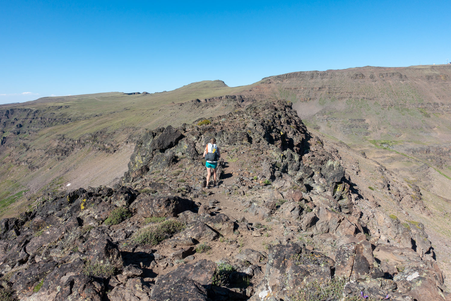
We rate these hikes as moderate to difficult. Depending on your itinerary, some terrain can be off-trail, very steep, and involve sketchy scrambles. Also, depending on the time of year and snowpack, some rivers may involve dangerous fords.
However, if you stick to the main trails, the hiking can be gentle and relatively easy. The remote nature of these trails also adds to the rating variance. Cell phone service cannot be relied on for emergency communication.
As always, difficulty ratings depend on your experience, physical fitness, pack weight, and weather conditions. Although most itineraries are not technically demanding (unless you’re completing the Gorges Loop), it’s a good idea to carefully plan your campsites and water sources. Doing so can be the difference between a miserable trek and a fantastic one.
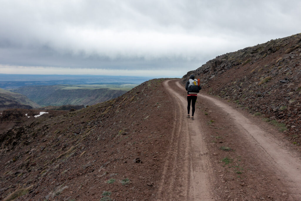
Finally, keep in mind that high-clearance or 4×4 vehicles are needed for dirt roads. This includes the steep and rocky portion of the Steens Mountain Loop Road near South Steens Campground.
Should I Drive the Steens Mountain Loop Road?
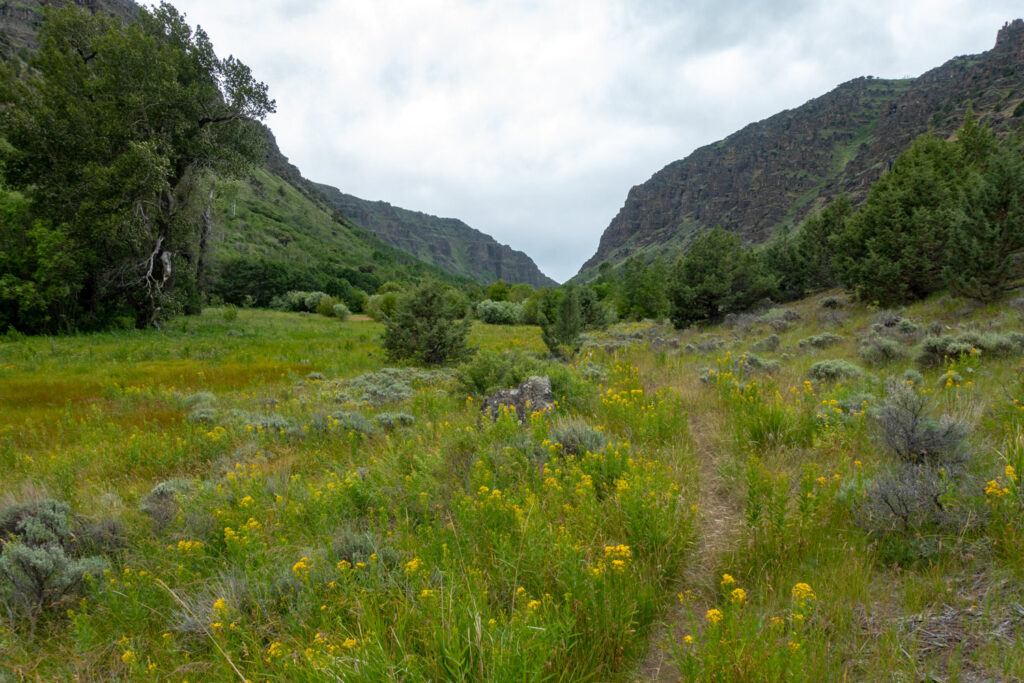
The Steens Mountain Loop Road – the highest road in the state – traverses from the hamlet of Frenchglen to the west side of the range for 52 miles through some of the region’s best scenery. It offers views of Fish Lake, the Kiger Gorge, and the Steens Mountain Summit, along with access to highland trails. It’s an amazingly scenic drive that is a worthy part of any trip to the Steens.
The Steens Mountain Loop Road also provides access to four designated campgrounds, two trailheads (Steens Summit and Wildhorse Lake), and the Riddle Brothers Ranch National Historic District.
What Are the Best Hiking & Backpacking Routes?
There are many hiking and backpacking options in the Steens, ranging from mellow day hikes to challenging multi-day, off-trail adventures. Below, we highlight some of the best the Steens has to offer.
Little Blitzen Gorge
This is an excellent place to access one of the Steen’s iconic gorges. The trailhead leaves from the South Steens Campground. Many complete this trail as a one-night backpacking trip or a long day hike.
- Distance: 18.6 miles (roundtrip, out and back)
- Trailhead: South Steens Campground
- Elevation: High point: 7,883 feet / Low point: 5,332 feet
- Difficulty: Moderate to difficult
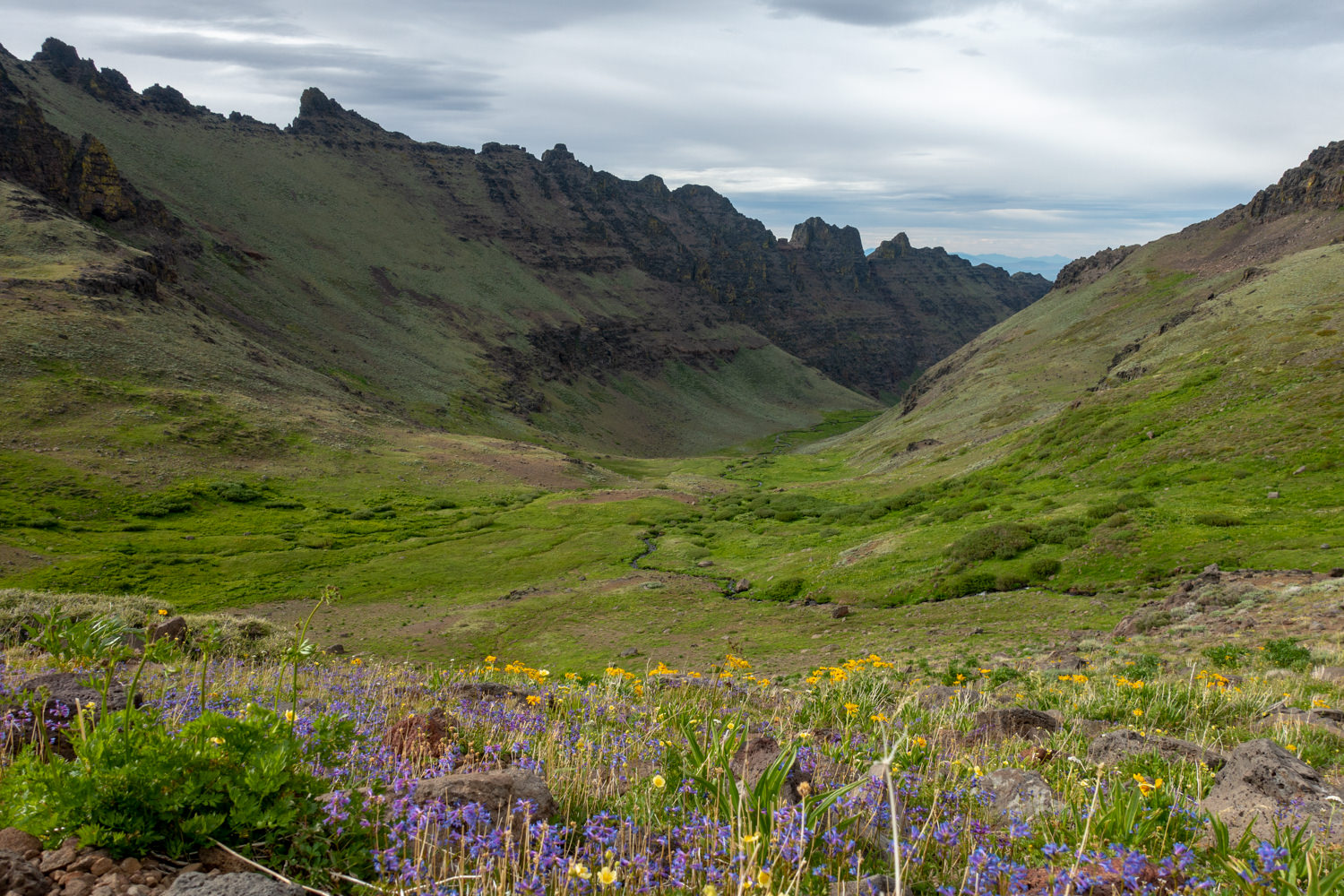
Route: Access the trail from the Steens Mountain Loop Road. About a half-mile descent from the trailhead, cross the Little Blitzen River. This is a challenge after a high-snowpack year, but it has great swimming holes to enjoy during summer. Continue hiking under 2,000-foot walls along the course of the river. Toward the end, the trail forks near a rimrock knoll. The main trail follows a path to a view of a waterfall cascading in the upper end of the gorge. If you go to the left, you face a steep scramble up to the Steens Mountain Loop Road above.
Campsites: 4 miles in, the trail opens up to a plateau and cottonwood grove shading a meadow. Look for campsites in this area.
Directions: From Burns, take State Highway 78 southeast for approximately 2 miles. Turn right onto State Highway 205, and travel south for 60 miles toward Frenchglen. Go another 9 miles, and turn left on the Steens Mountain Loop Road south entrance. The trailhead is in the South Steens Campground. Park on the right in the area marked as Little Blitzen Trailhead. The official trail begins just up the road.
Big Indian Gorge
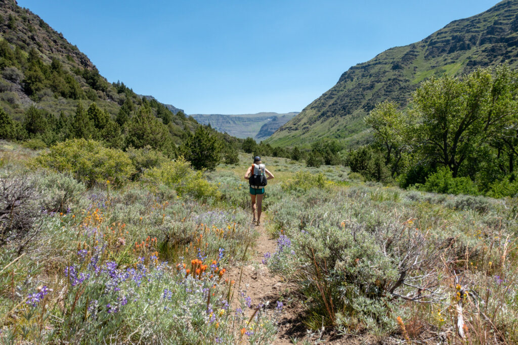
This is arguably one of the most fascinating and beautiful of the accessible gorges in the Steens. It does require trekking along a dirt road for the first couple of miles.
- Distance: 16 miles (roundtrip, out and back)
- Trailhead: South Steens Campground (same as above)
- Elevation: High point: 8,500 feet / Low point: 5,300 feet
- Difficulty: Moderate to difficult
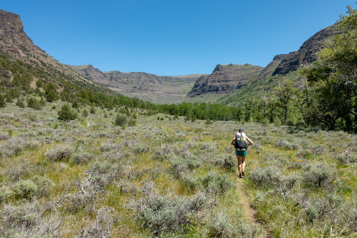
Route: Once you get beyond the end of the dirt road, you’ll trek through a riparian zone, meadows, and streams (three crossings, all of which can be dangerous at certain times of the year) before hitting a plateau that butts up against a massive, U-shaped gorge pocked with sagebrush, juniper, and aspen trees.
Campsites: About 6.5 miles (and 6,500 feet) in, you’ll enter a grove of cottonwoods where you’ll find a couple of good sites. At 8 miles (turnaround point), the sites are uneven at best. There’s also a big headwall to contend with. That’s your turnaround point if you’re doing an out-and-back.
Directions: From Burns, take State Highway 78 southeast for approximately 2 miles. Turn right onto State Highway 205, and travel south for 60 miles toward Frenchglen. Go another 9 miles, and turn left on the Steens Mountain Loop Road south entrance. The trailhead is in the South Steens Campground. Park on the right in the area marked as Little Blitzen Trailhead. The official trail begins just up the road.
Wildhorse Lake & Steens Summit
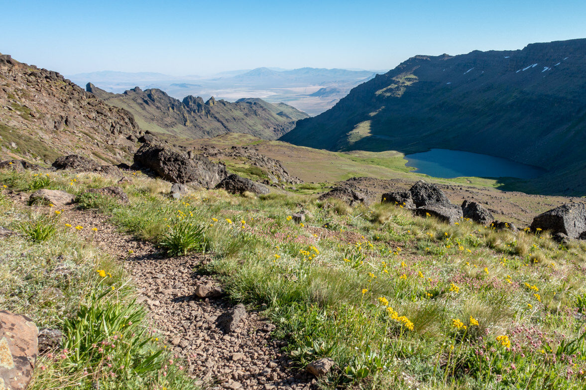
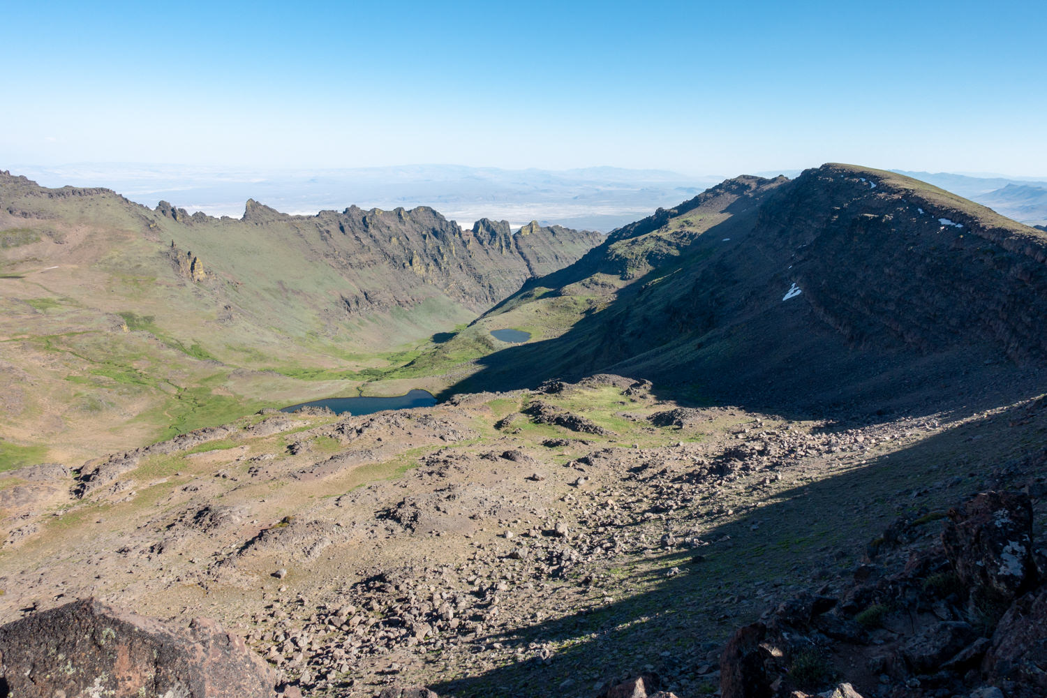
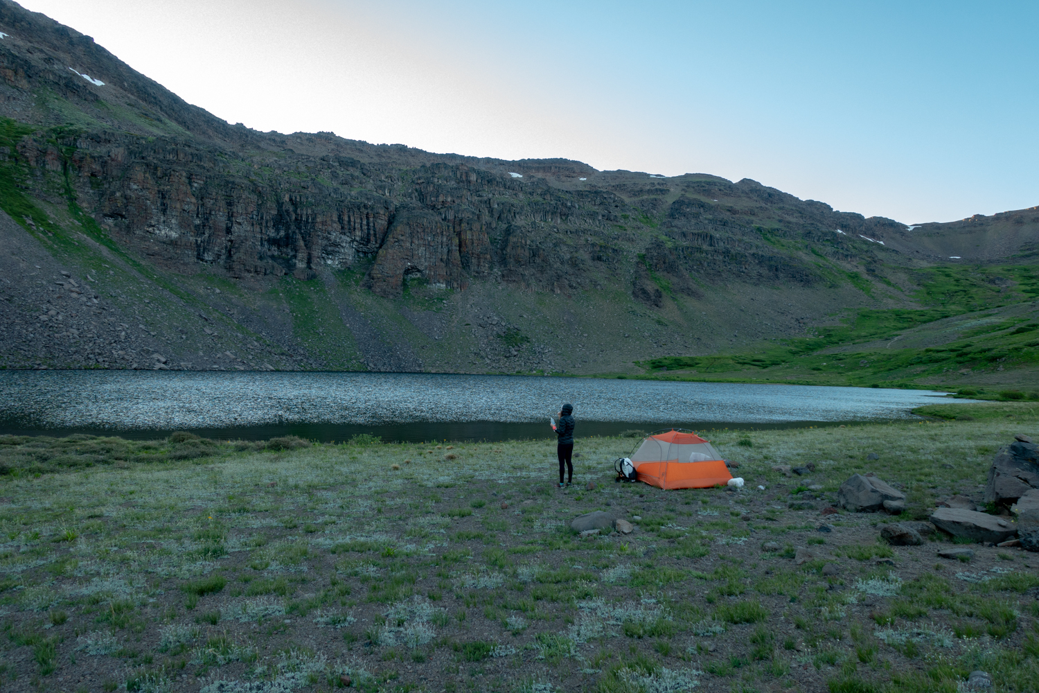
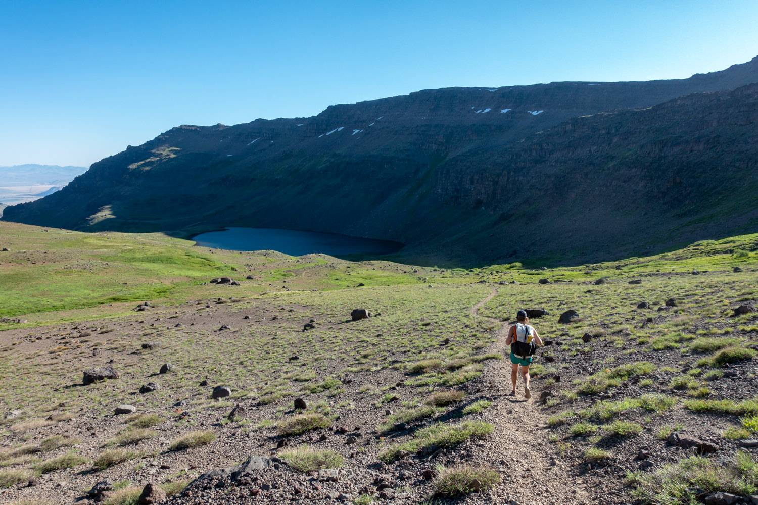
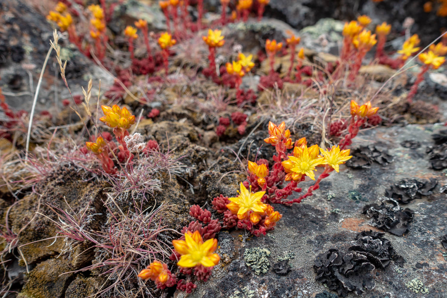
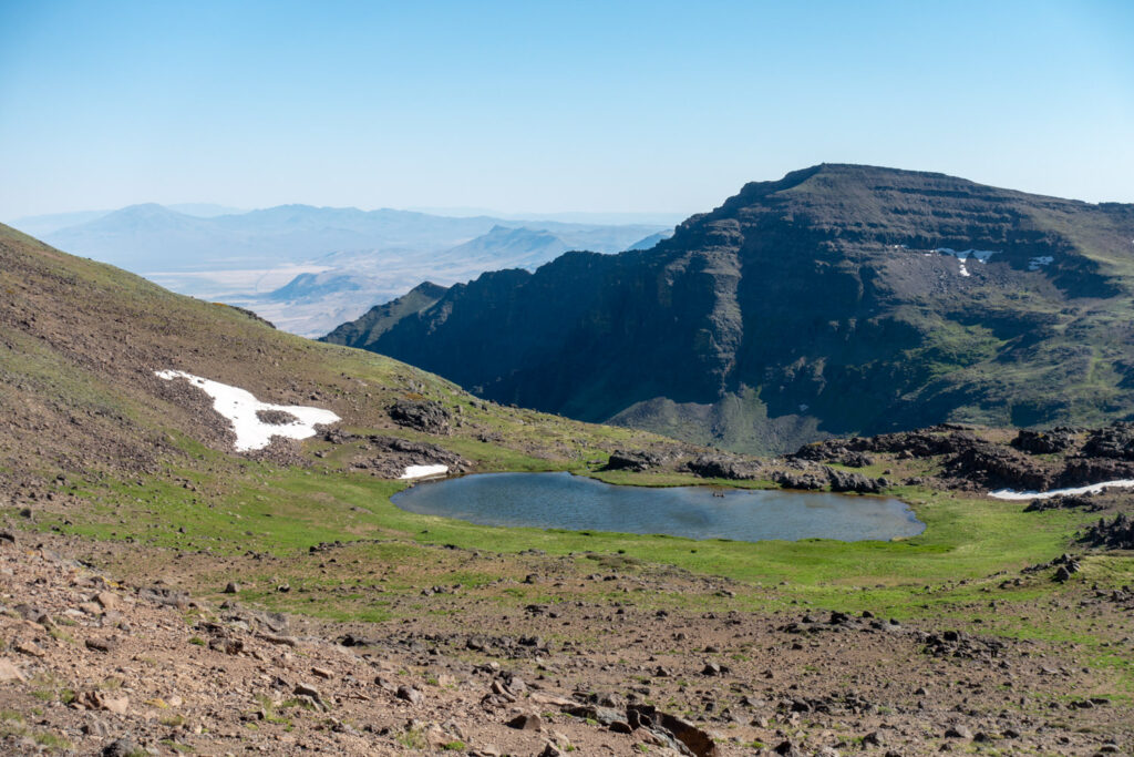
Cradled in the bottom of a picturesque, wildflower-speckled cirque, this beautiful lake is surrounded by a tapestry of wildflowers and a towering wall with a view overlooking the Alvord Desert, one vertical mile below.
- Distance: 2.6 miles (roundtrip) for Wildhorse / 1.5 miles (roundtrip) for Steens Summit
- Trailhead: Steens Summit Trailhead
- Elevation: High point: 9,734 feet / Low point: 8,432 feet
- Difficulty: Moderate
Route: The serpentine trail leading to this bowl is just below Steens Mountain’s 9,734-foot summit at the trailhead. From here, you can begin the 1.3-mile and 1,200-foot descent to Wildhorse Lake. Camping is possible at Wildhorse Lake, but we recommend using only designated campsites. Before or after your trip to Wildhorse Lake, we recommend completing the short and relatively easy 1.5-mile roundtrip hike to the top of Steens Mountain. Although various towers and other manufactured objects detract from the summit, the views over the Alvord Desert are stunning and worthwhile.
Campsites: There are several campsites near Wildhorse Lake, but please follow Leave No Trace guidelines when choosing a site in this fragile environment. Camp in designated, existing sites on durable surfaces such as rock, sand, dry grass, or compacted dirt. Also, make sure you are 200 feet from water and trails. There is no camping at the Steens Summit.
Directions: From Frenchglen, take the Steens Mountain Loop Road and head 22 miles up the mountain to a junction with a sign for Steens Summit / Wildhorse Lake. Go left, and follow the dirt road 2 miles to the road summit parking area.
Pike Creek Canyon
You’ll need to head over to the other side of the Steens to the Alvord Desert to enjoy one of the best hikes in the Steens. Remote, narrow, rocky, and steep, it’s a fantastic trail that is accessible earlier in the season than the other trails due to its elevation.
Colorful rock outcroppings – pink, red, orange, and dark blue – and dark spires dominate a rich riparian corridor. A perennial stream bordered by alder, cottonwood, and willow runs through it. The views back toward the Alvord’s alkaline playa are spectacular. Watch for bighorns!
- DIstance: 5.4 miles (roundtrip, out to Pike’s Knob and back)
- Trailhead: Pike Creek Trail
- Elevation: High point: 5,480 feet / Low point: 4,320 feet
- Difficulty: Moderate
- Permit/Fee: Before heading out, drive 2 miles south on the East Steens Road to the Alvord Hot Springs to purchase a parking and/or camping permit. Since 2016, Alvord Ranch has charged $5 per day to park and $30 per night to camp near the trailhead.
Route: Once at the trailhead, you’ll need to bushwhack across the creek to find an old mining road running up the southern bank. Follow the singletrack trail from here up into the canyon for about 1 mile. You’ll pass a wilderness sign-in box in the first quarter mile. After that, it crosses to the left of Pike Creek and enters a “crack” in the mountain.
Directions: From Burns, drive east on Highway 78 for 65 miles past the town of Crane. Turn right at mile marker 65 onto East Steens Road, which has sections of both pavement and gravel. Follow it for 38.5 miles to an unmarked road on the right that can be identified by a yellow cattle guard. The road is roughly 3.7 miles past the Alvord Ranch.
Steens Mountain Gorges Loop
- Distance: 28 miles
- Days Needed: 2 to 4
- Trailhead: Steens Summit Trailhead
- Elevation: High point: 9,434 feet / Low point: 5,300 feet
- Difficulty: Very strenuous (not recommended for beginners)
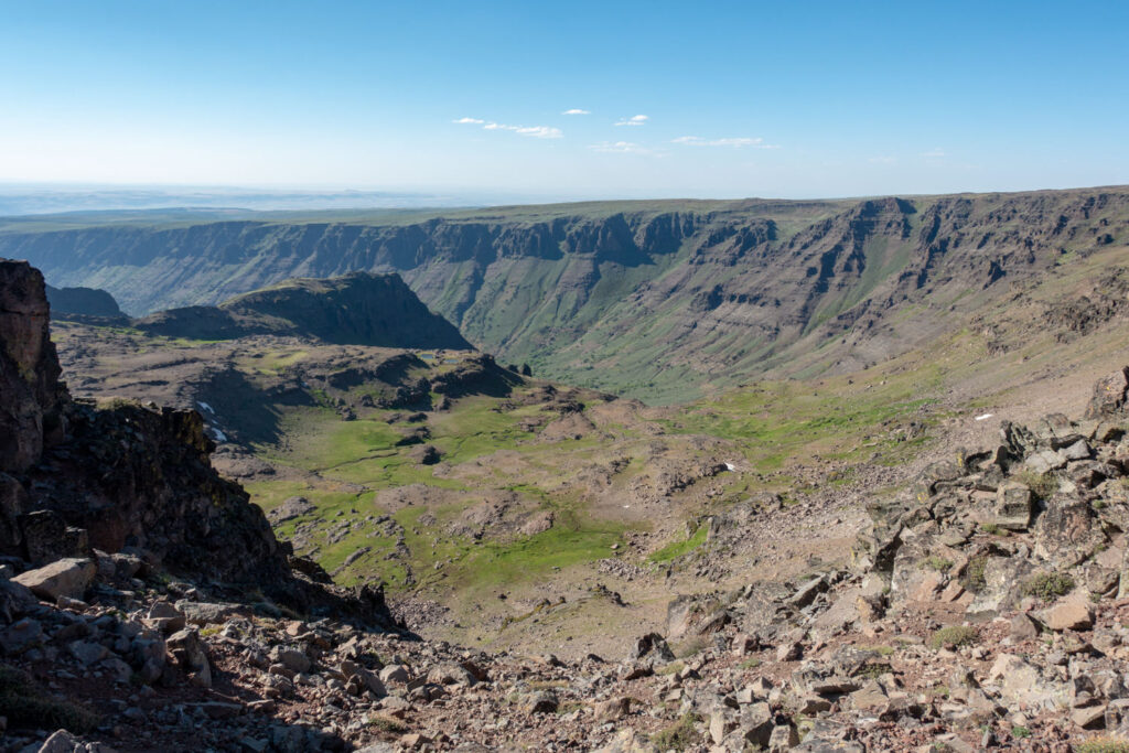
Route: If you want to see the best of what the Steens area has to offer and are up for an experts-only backcountry adventure, the Gorges Loop is a good option. The loop “trail” connects the Big Indian and Little Blitzen gorges but requires an off-trail ascent (and subsequent descent) of the 2,000-foot headwalls of each gorge. Most of your travel will be improvised and require off-trail navigation. The headwalls are incredibly steep and, at times, require four points of contact to navigate.
If you’re completing this loop, we recommend beginning at the Big Indian Trailhead and continuing up the gorge, passing seasonal streams along the way. The trail will begin petering out and require bushwhacking as you make your way to the headwall of the gorge. Scout your route up the headwall, exercising extreme caution.
After you make your way up out of the gorge, traverse a high ridge until you reach the Steens Summit Trailhead, which offers the option to add worthy side trips to Wildhorse Lake and the Steens Summit. Follow the Steens Mountain Road for a couple miles until you reach the Little Blitzen Gorge. Resume off-trail navigation as you scout a scrambling route down into the gorge. After you’ve made your way safely down into the gorge, you’ll eventually meet up with the trail and hike out to the Little Blitzen Trailhead, where your car will be waiting for you.
Directions: From Burns, take State Highway 78 southeast for approximately 2 miles. Turn right onto State Highway 205, and travel south for 60 miles toward Frenchglen. Go another 9 miles, and turn left on the Steens Mountain Loop Road south entrance. The trailhead is located in the South Steens Campground. Park on the right in the area marked as Little Blitzen Trailhead. The official trail begins just up the road.
Where Should I Camp?
Campsites in the backcountry are first-come, first-serve. Please follow Leave No Trace guidelines when choosing a site in this fragile environment. Camp in designated, pre-used sites on durable surfaces, such as rock, sand, dry grass, or compacted dirt. Also ensure you are 200 feet from water and trails.
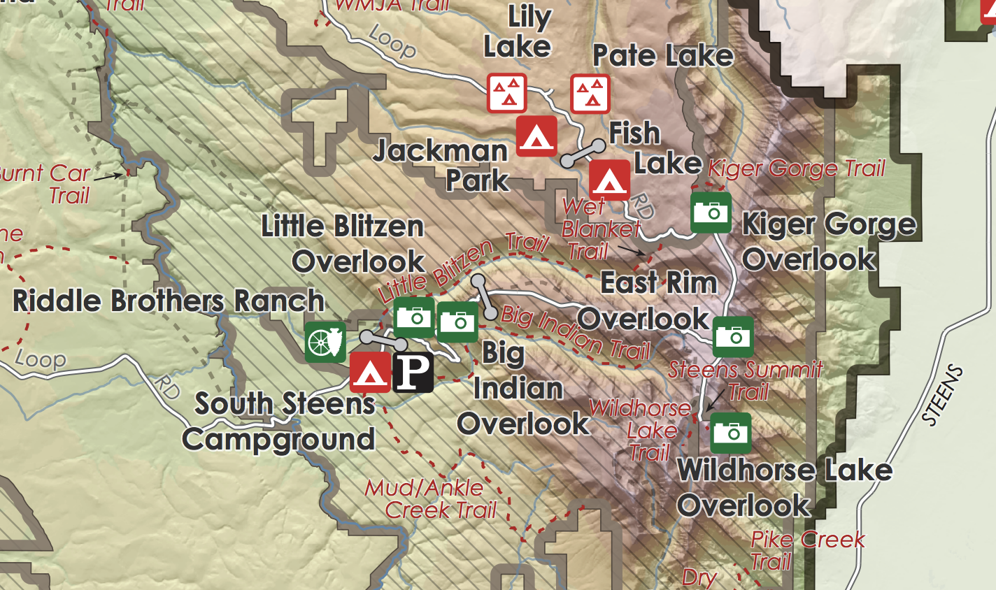
Below is a map provided by the BLM showing organized campgrounds and the route of the Steens Mountain Loop Road with trailheads. Camping costs $16 per vehicle per night, and campsites are available on a first-come, first-serve basis.
What Are the Best Maps & Guidebooks for the Area?
- Steens High Desert Country Map – This map is great for navigating the Steens, though some off-trail hikers may want more detail. You can buy online or pick one up at the Burns District BLM office.
- Backpacking Oregon – This book provides a great step-by-step guide to backpacking around the Steens – especially the Steens Mountain Gorges Loop. It also highlights many other fantastic trips around Oregon.
- 100 Hikes: Eastern Oregon – This is hands-down the best book on the Steens (plus, it covers some 90 other trails). The author provides first-person experience along with detailed driving and hiking directions, maps, and illustrations.
- Gaia GPS – We use Gaia GPS on all our backpacking trips to assist with planning our route and on-trail navigation.
- USGS Topo Map – You can print a free topographical map of the Steens Mountain area through TopoZone.
What Permits & Regulations Are in Place?
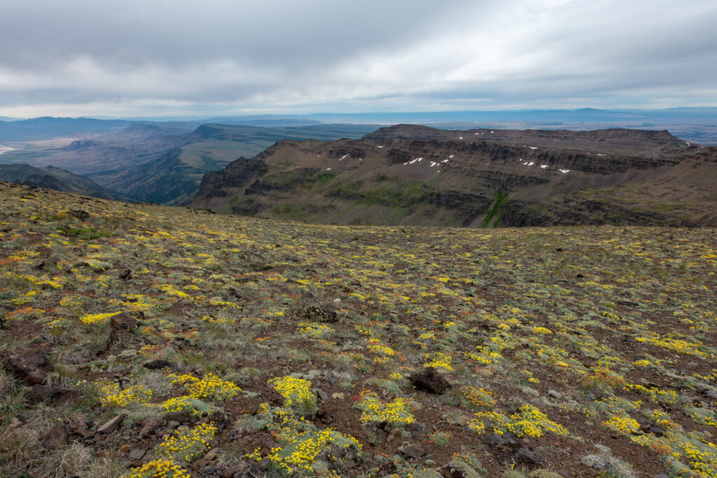
The Steens Mountain Wilderness is part of the ~112-million-acre National Wilderness Preservation System, designed to provide clean air, water, and habitat critical for rare and endangered plants and animals.
The Steens Mountain Cooperative Management & Protection Area contains a mix of public and private lands and designated areas where special regulations apply. Stay on designated, open routes and do not attempt to go around road closure signs. Respect ranchers and landowners in the area, and always get permission to go onto private property. Contact the BLM Burns District Office for more information.
Permits are not required. Fees are applied at organized campgrounds and Pike Creek Trailhead (see the Pike Creek Canyon route covered above).
How Plentiful Is Water in the Steens Mountain Wilderness?
Limited water sources require carrying enough water to last your entire trip in certain areas at certain times. Check with the BLM before you head out. Conditions and water availability are usually weather-dependent here. Some trails have streams or lakes you can collect water from, but many dry up by midsummer.
Avoid drinking unfiltered water in the Steens, whether from streams, rivers, seeps, or lakes. Check out our list of the best backpacking water filters for our top recommendations.
How Should I Store My Food?
There are no specific food storage requirements in the Steens. That said, you should always protect your food against rodents and small critters, which will tear through your backpack or tent without hesitation. We recommend packaging all your food and scented products in a food storage container such as an Ursack.
Are Bugs an Issue?
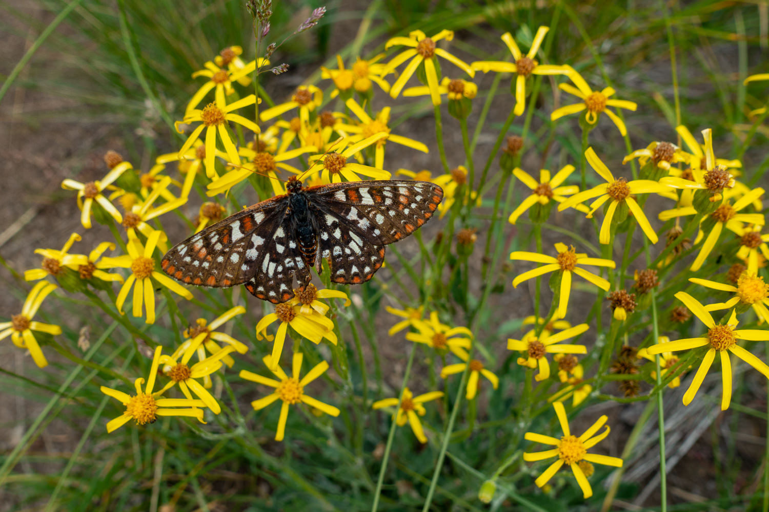
Mosquitoes are present along this route in early summer but dissipate later in the season as standing water becomes more limited. Hiking later in the season is often bug-free. For full coverage, use permethrin on your clothing, and bring a small bottle of DEET or picaridin for exposed skin.
What Gear Should I Pack?
Make sure to check out our Ultimate Backpacking Checklist, so you don’t forget something important.
Below you’ll find our current favorite backpacking gear. If you want to see additional options, our curated gear guides are the result of many years of extensive research and hands-on testing by our team of outdoor experts.
BACKPACK
- Best Backpacking Pack Overall: Gregory Paragon 58 – Men’s / Gregory Maven 58 – Women’s
- Best Ultralight Backpacking Backpack: Hyperlite Mountain Gear Unbound 40
- More: Check out our best backpacking backpacks guide for ultralight and trekking options
TENT
- Best Backpacking Tent Overall: Big Agnes Copper Spur HV UL2
- Best Ultralight Tent: Zpacks Duplex
- Best Budget Tent: REI Half Dome 2
- Best Tent Stakes Overall: All One Tech Aluminum Stakes
- More: Check out our best backpacking tents guide for more options
SLEEPING BAG/QUILT
- Best Sleeping Bag Overall: Men’s Feathered Friends Swallow YF 20 / Women’s Feathered Friends Egret YF 20
- Best Quilt Overall: Enlightened Equipment Revelation 20
- More: Check out our best backpacking sleeping bags guide and best backpacking quilts guide for more options
SLEEPING PAD
- Best Sleeping Pad Overall: NEMO Tensor All-Season
- Best Foam Sleeping Pad: NEMO Switchback
- More: Check out our best backpacking sleeping pads guide for ultralight and trekking options
CAMP KITCHEN
- Best Backpacking Stove Overall: MSR PocketRocket 2
- Best Backpacking Cookware Overall: TOAKS Titanium 750ml
- Best Backpacking Coffee Overall: Starbucks VIA
- More: Check out our best backpacking stoves guide and best backpacking cookware guide for ultralight and large group options
WATER & FILTRATION
- Best Water Filter Overall: Sawyer Squeeze
- Best Hydration Bladder Overall: Gregory 3D Hydro
- Best Backpacking Water Bottles: Smartwater Bottles
- More: Check out our best backpacking water filters guide and best backpacking water bottles guide for ultralight and large group options
CLOTHING
- Best Hiking Pants Overall: Men’s Outdoor Research Ferrosi / Women’s The North Face Aphrodite 2.0
- Best Hiking Shorts Overall: Men’s Patagonia Quandary / Women’s Outdoor Research Ferrosi
- Best Women’s Hiking Leggings: Fjallraven Abisko Trekking Tights HD
- Best Rain Jacket Overall: Men’s Patagonia Torrentshell 3L / Women’s Patagonia Torrentshell 3L
- Best Rain Pants: Men’s Patagonia Torrentshell 3L / Women’s Patagonia Torrentshell 3L
- Best Down Jacket Overall: Men’s Patagonia Down Sweater Hoodie / Women’s Patagonia Down Sweater Hoodie
- Best Fleece Jacket Overall: Men’s Patagonia Better Sweater / Women’s Patagonia Better Sweater
- Best Sunshirt Overall: Men’s Outdoor Research Echo / Women’s Outdoor Research Echo
- Best Socks Overall: Men’s Darn Tough Light Hiker Micro Crew / Women’s Darn Tough Light Hiker Micro Crew
- Beste Ultralight Liner Glove: Patagonia Capilene Midweight Liner
- More: Check out our best backpacking apparel lists for more options
FOOTWEAR & TRACTION
- Best Hiking Shoes Overall: Men’s HOKA Speedgoat 6 / Women’s HOKA Speedgoat 6
- Best Hiking Boots Overall: Men’s Salomon X Ultra 5 GTX / Women’s Lowa Renegade Evo GTX
- Best Hiking Sandals Overall: Men’s Chaco Z/1 Classic / Women’s Chaco Z/1 Classic
- Best Camp Shoes Overall: Crocs Classic Clogs
- Best Traction Device for Hiking Overall: Kahtoola MICROspikes
- More: Check out our best backpacking footwear lists for more options
NAVIGATION
- Best GPS Watch Overall: Garmin Instinct 2 Solar
- Best Personal Locator Beacon (PLB): Garmin inReach Mini 2
- More: Check out our article How to Use Your Phone as a GPS Device for Backpacking & Hiking to learn more
FOOD
FIRST-AID & TOOLS
- Best First-Aid Kit Overall: Adventure Medical Kits Ultralight/Watertight .7
- Best Pocket Knife Overall: Kershaw Leek
- Best Multitool Overall: Leatherman Wave+
- Best Headlamp Overall: Black Diamond Spot 400-R
- Best Power Bank Overall: Nitecore NB 10000 Gen 3
- More: Check out our best first-aid kit guide, best pocket knife guide, best multitool guide, best backpacking headlamps guide, and best power banks guide for more options
MISCELLANEOUS
- Best Trekking Poles Overall: Black Diamond Pursuit
- Best Backpacking Chair Overall: REI Flexlite Air
- Best Backpacking Stuff Sack Overall: Hyperlite Mountain Gear Drawstring
- More: Check out our best trekking poles guide, best backpacking chairs guide, and best stuff sacks guide for more options