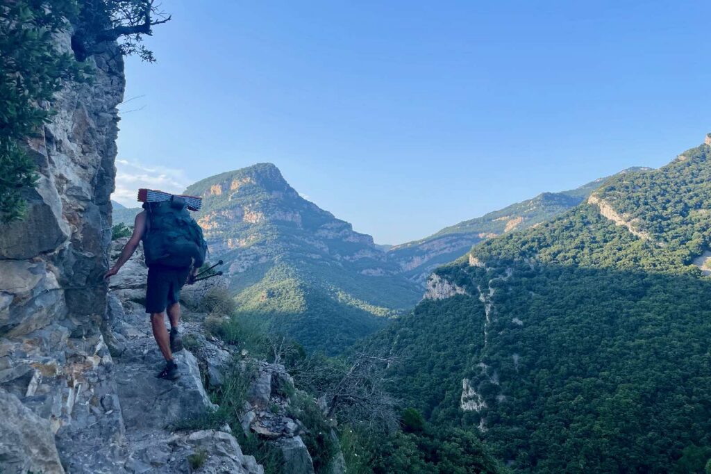
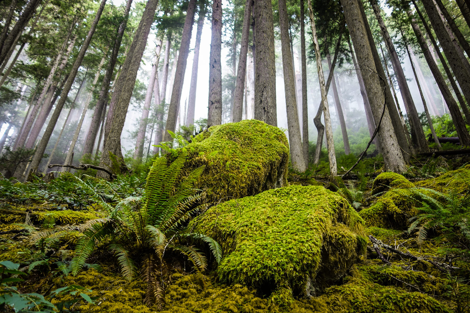
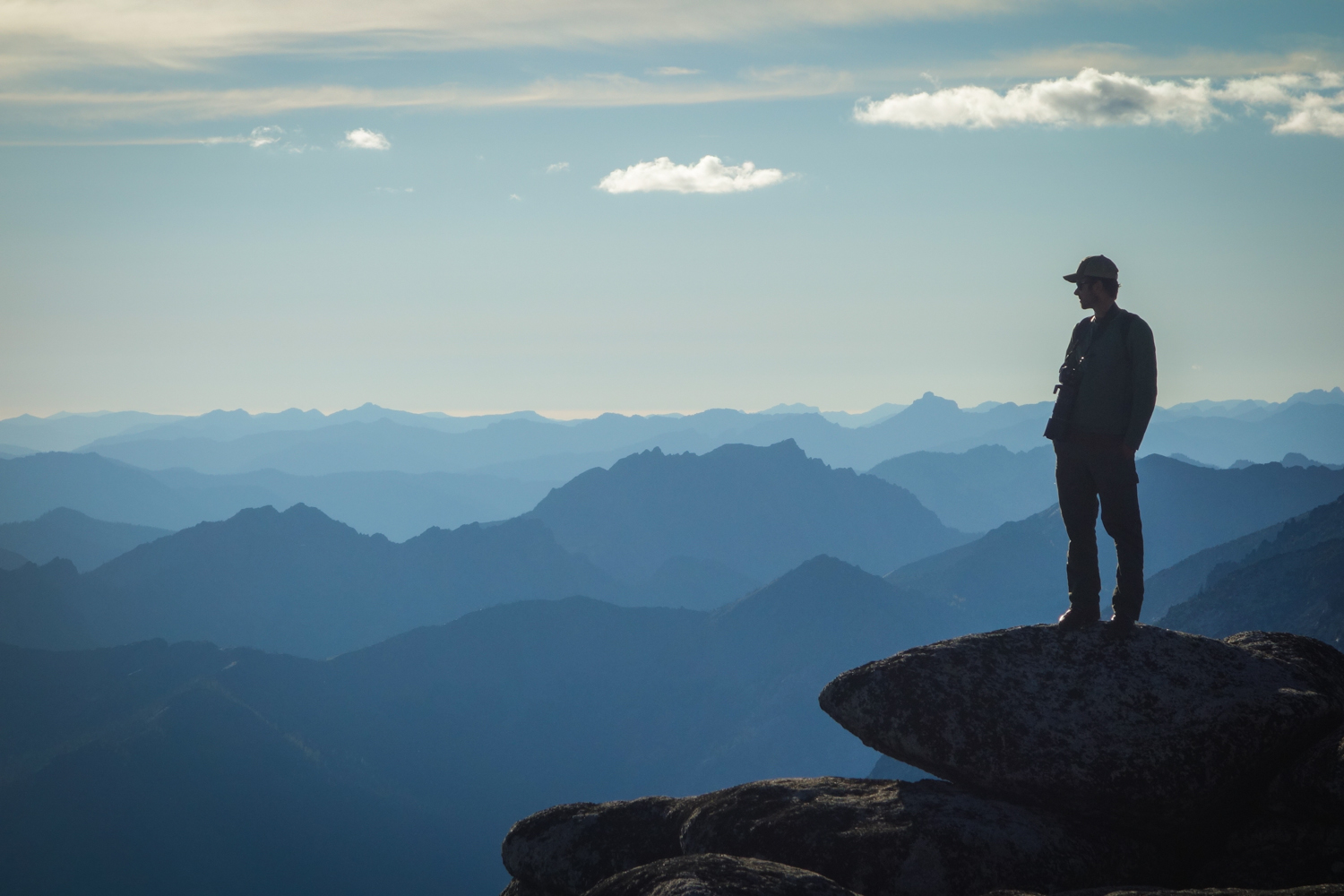
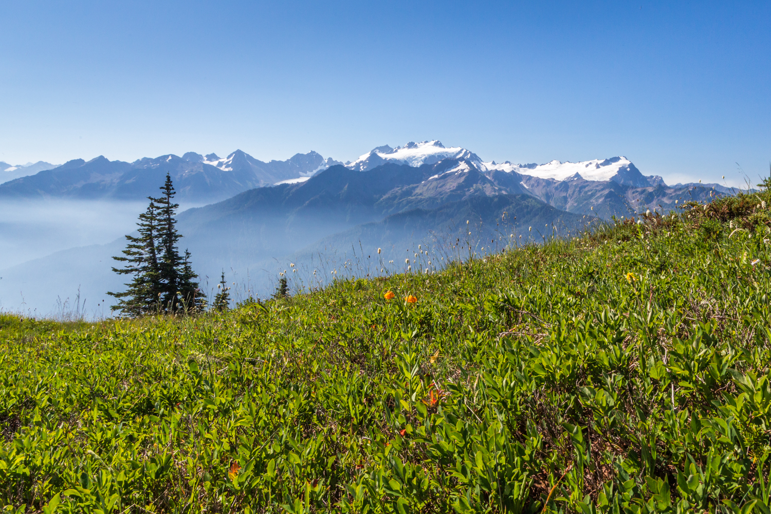
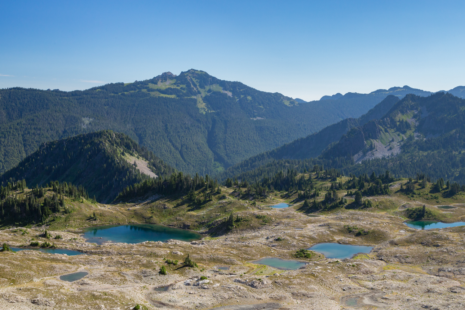
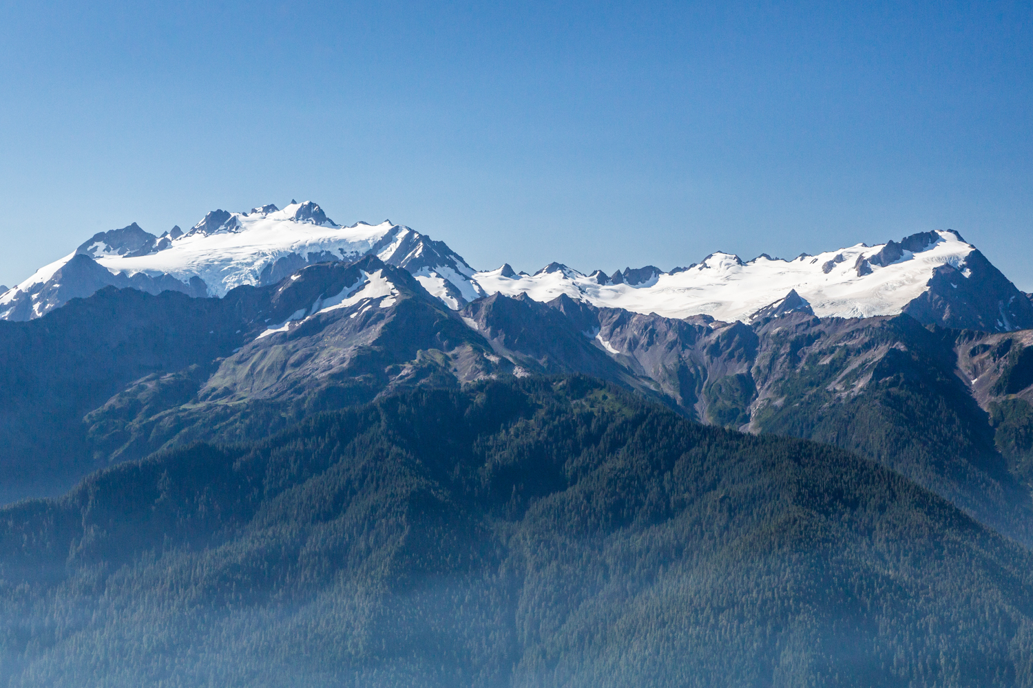
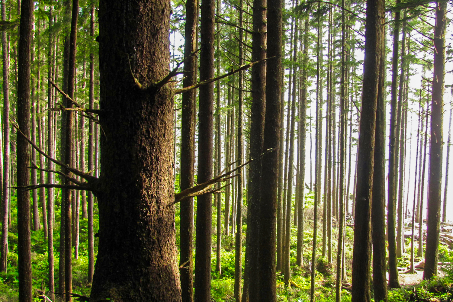
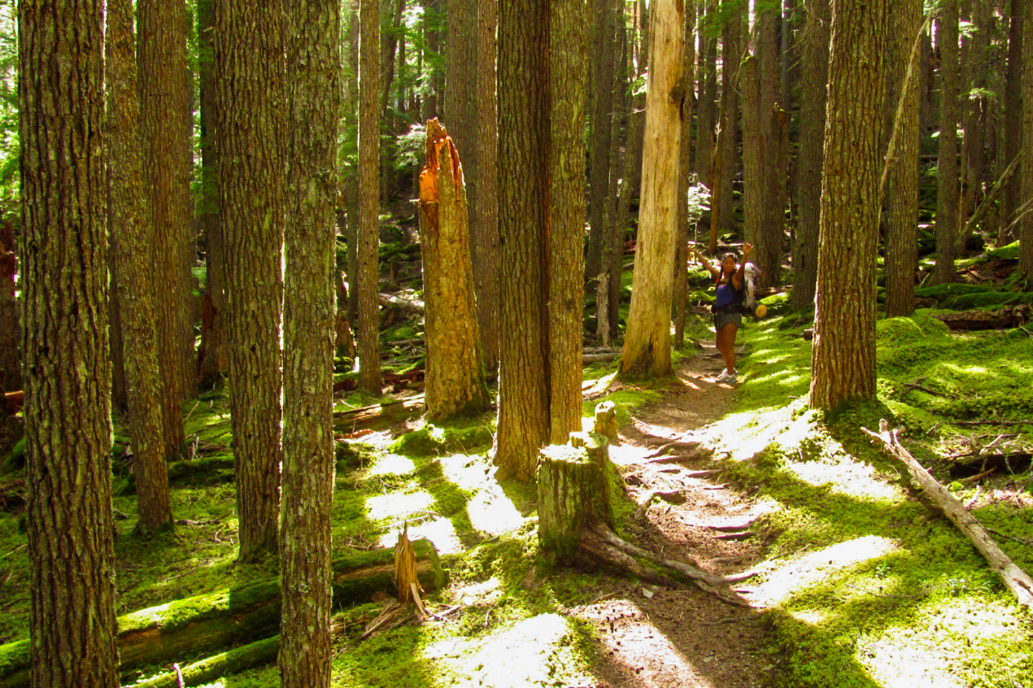
The Pacific Northwest is an adventure junkie’s paradise. It’s a breathtakingly diverse playground of craggy granite peaks, high alpine lakes, meadows socked with wildflowers, a rugged windswept coastline, and more shades of green than your eyeballs can handle.
With so many stunning trails to choose from, it can sometimes be tough to settle on the next one. That’s why we put together this list of our personal favorite Pacific Northwest backpacking trips. These are some of the most iconic and spectacular trails the PNW has to offer, so dust off your pack and add one of these gems to your summer adventure list.
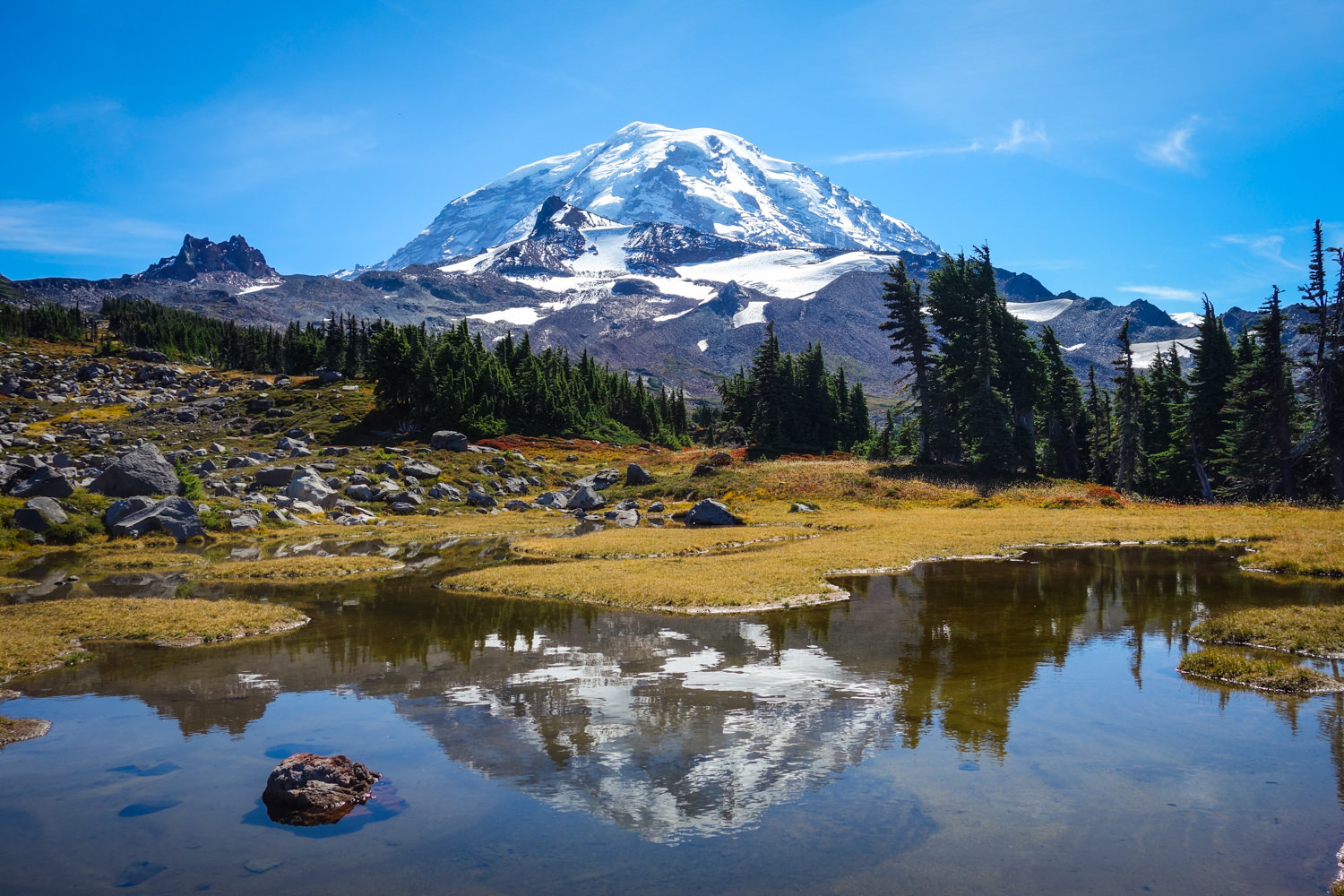
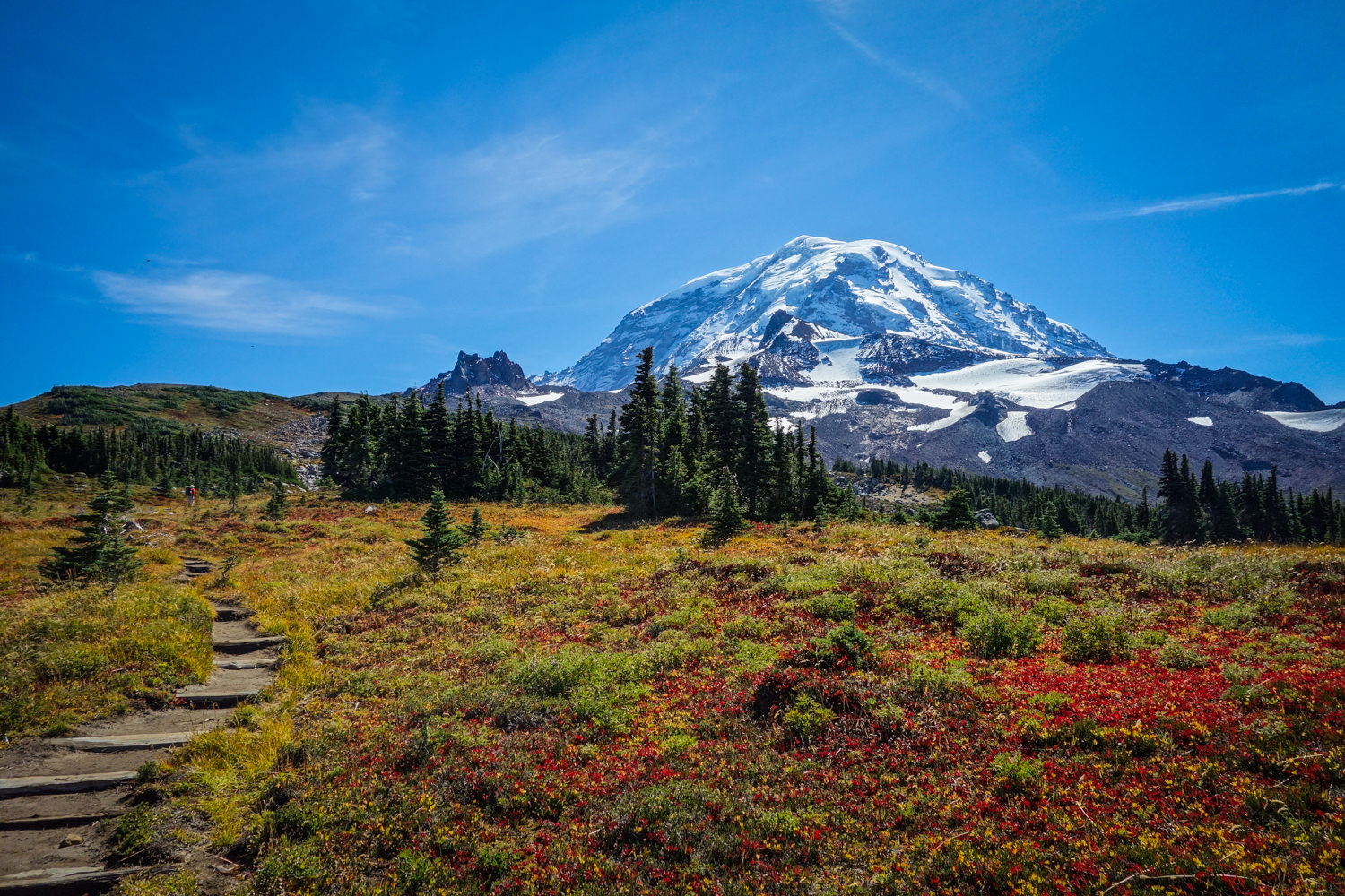
Wonderland Trail
- Length: 93 miles
- Days needed: 8-13 days (most people take around 10 days)
- Location: Mount Rainier National Park, WA
- Best time to hike: Late July to mid-September
- Difficulty: Strenuous
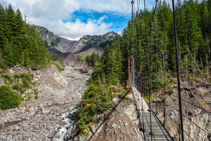
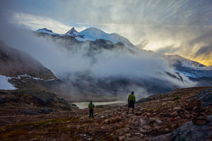
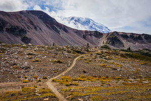
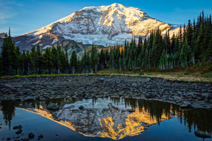
The Wonderland trail circumnavigates massive and spectacular Mount Rainier over the course of 93 miles. It’s a very challenging hike, with over 23,000 feet of elevation change, but the rewards are plentiful. With breathtaking glacier views, wildflower meadows, pristine lakes, and miles of lush rainforests, the ever-changing landscape of the Wonderland Trail will not disappoint.
Permits for this very popular hike can be secured in advance through a yearly lottery system, though the park does save some permits for walk-in travelers.
Wonderland Maps & Guides
- CleverHiker Wonderland Trail Backpacking Guide – Our quick guide to assist you in planning your trip around Rainier.
- FarOut Wonderland Trail Guide – This popular app has user-generated comments on water sources, campsites, and important landmarks.
- Wilderness Trip Planning Map – This basic map from the National Park Service will give you a general idea of campsite locations and the distances between them.
- Green Trails Map 269S – Mount Rainier Wonderland – This is a fantastic map for hiking the Wonderland Trail. It’s a detailed topographical map that’s ideal for use along the trail.
- Hiking the Wonderland Book – A complete guide to the Wonderland by a Washington native that’s hiked the trail seven times. An excellent source of information.
- Plan & Go Wonderland Book – A comprehensive guide that contains everything you need to know for hiking the 93-mile Wonderland Trail.
- Backpacking Washington Book – This hike is covered in the Backpacking Washington book as well, just not in quite as much detail.
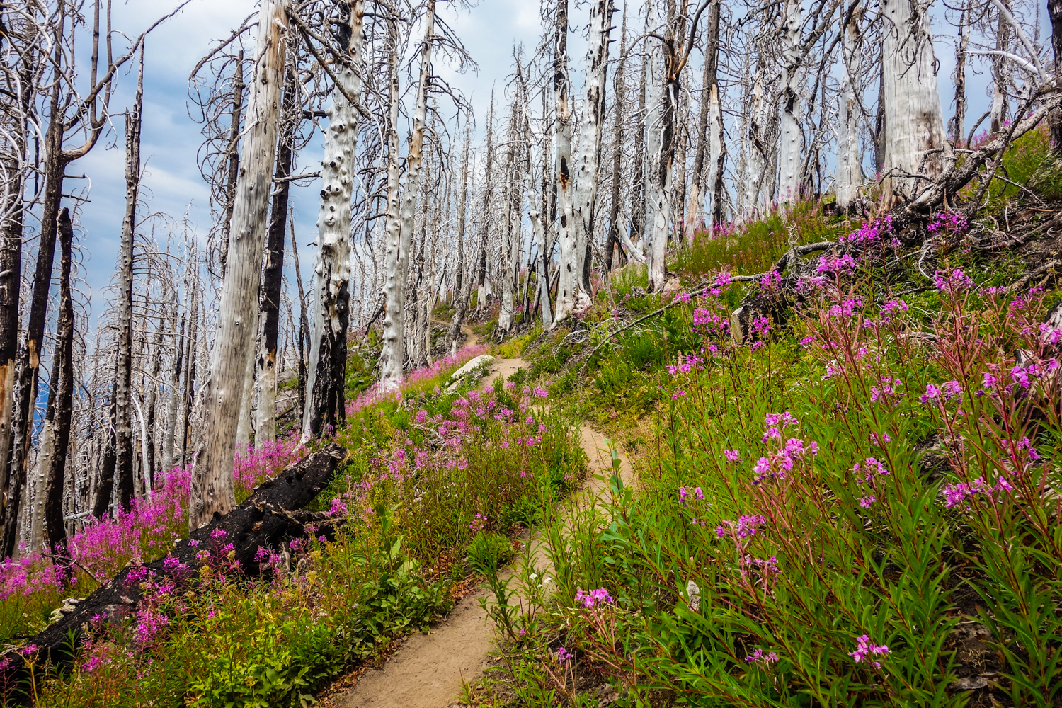
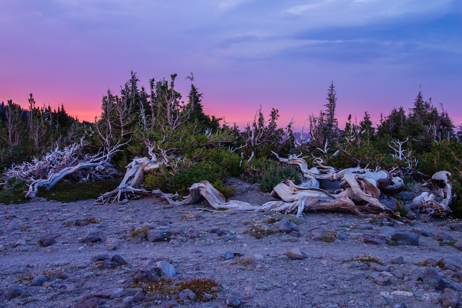
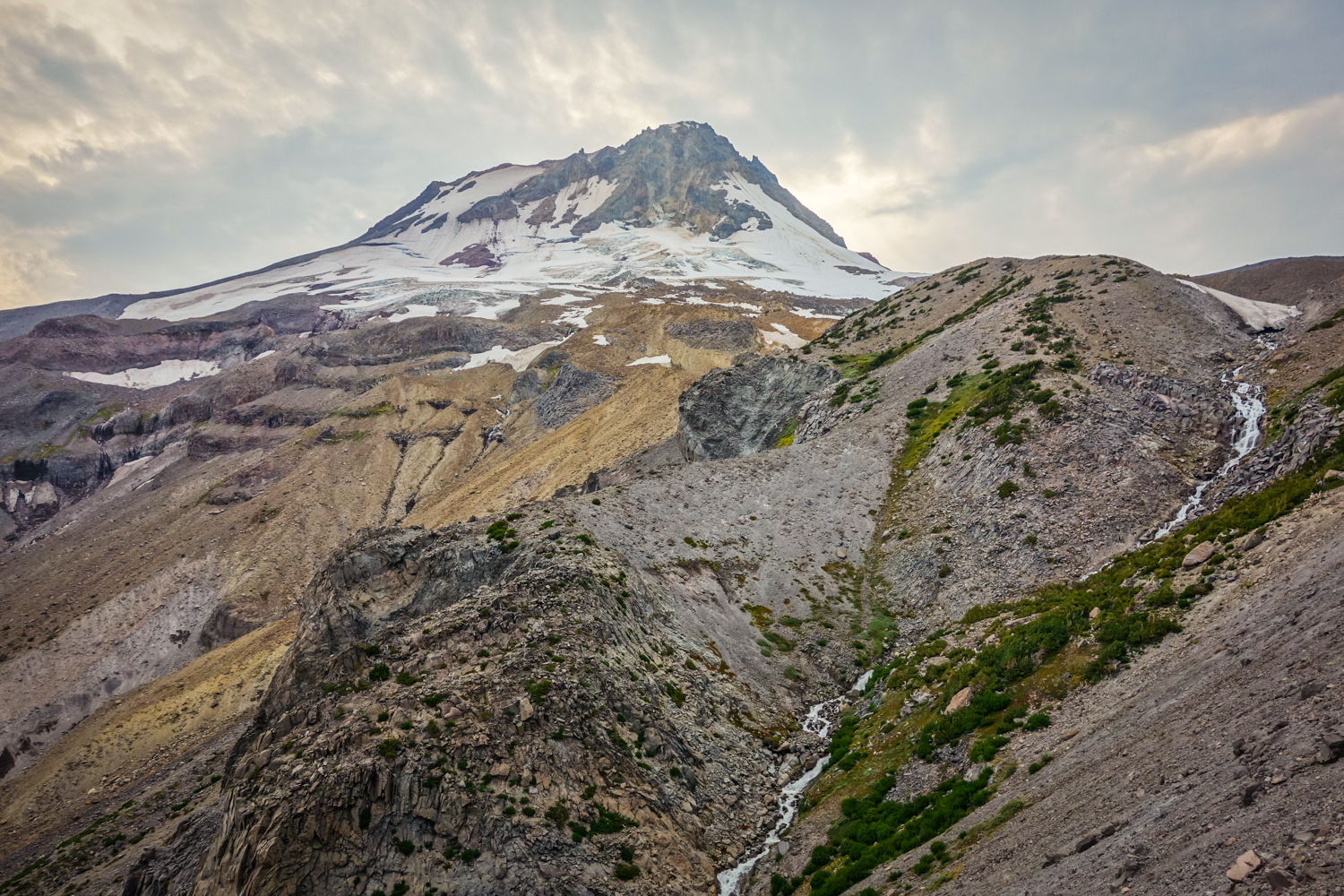
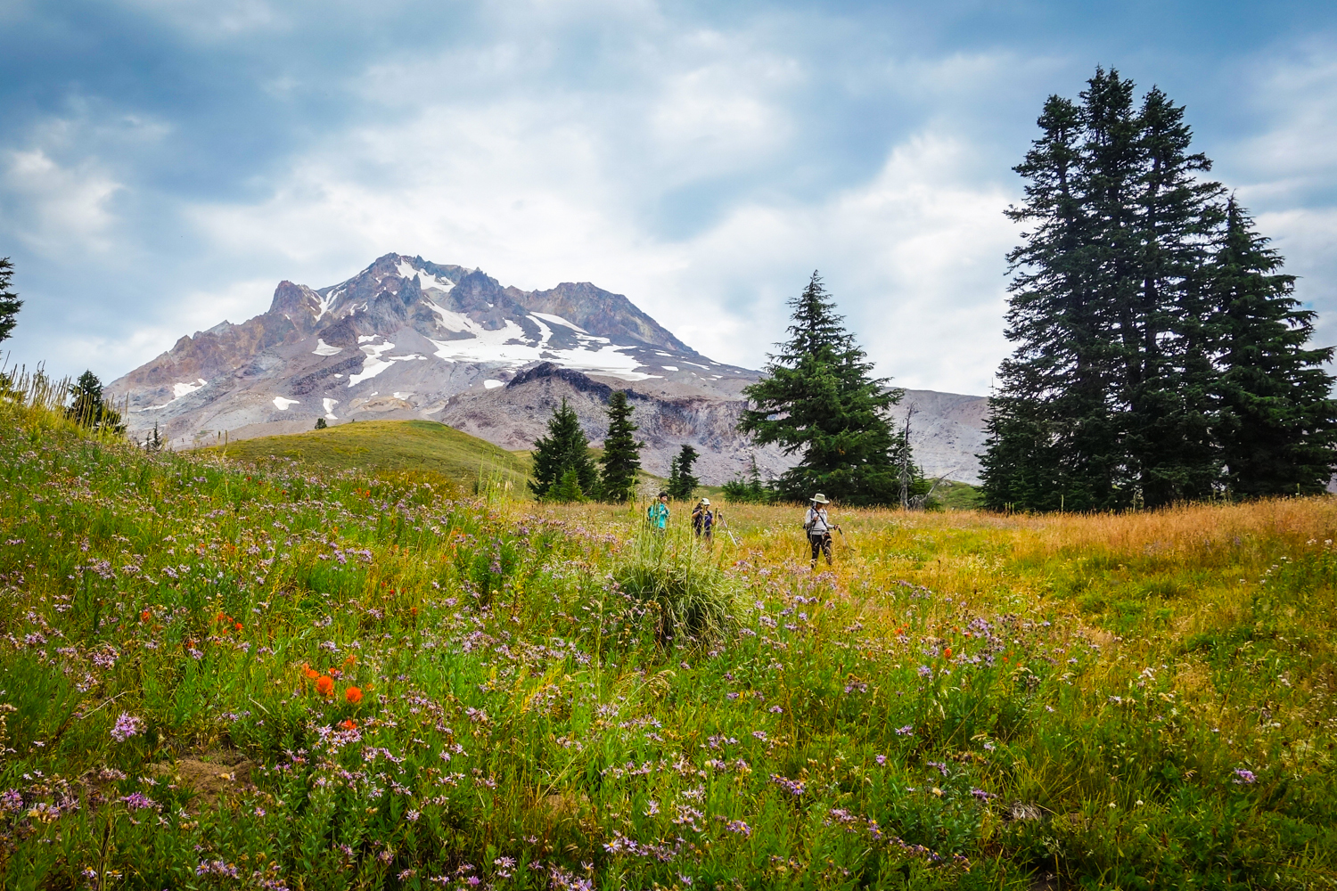
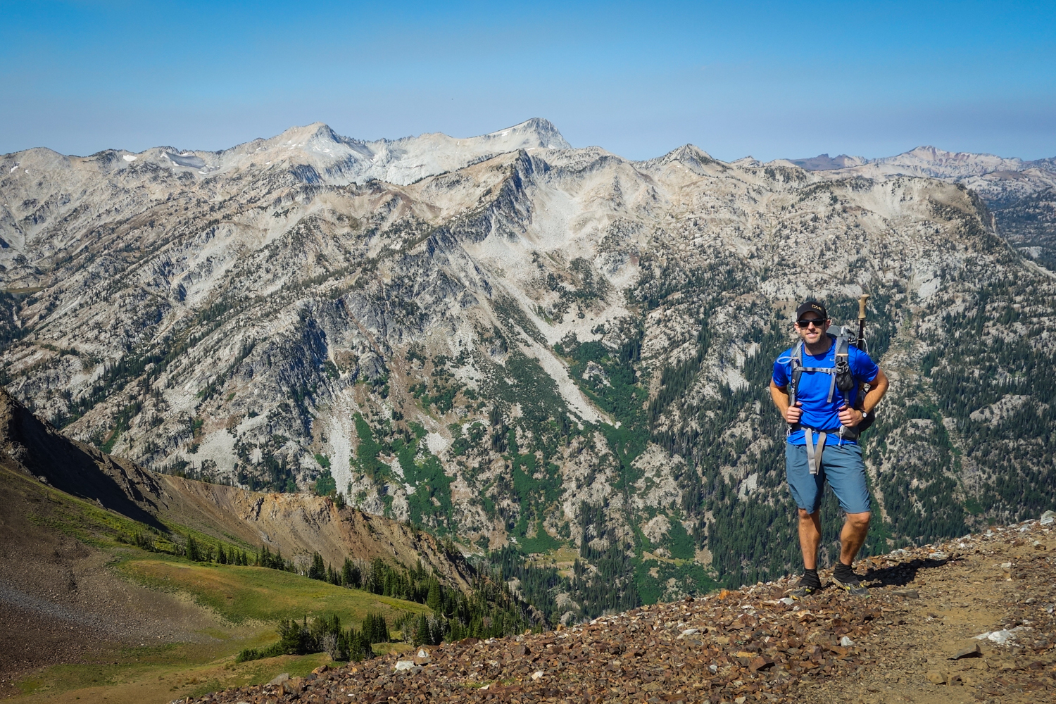
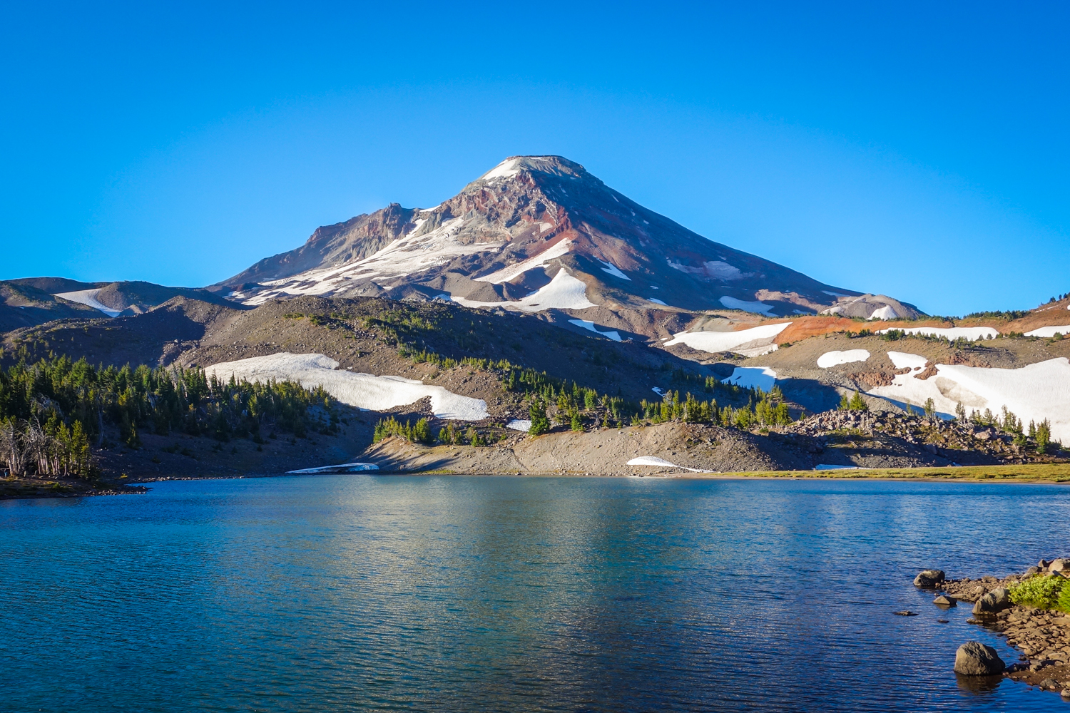
TIMBERLINE TRAIl
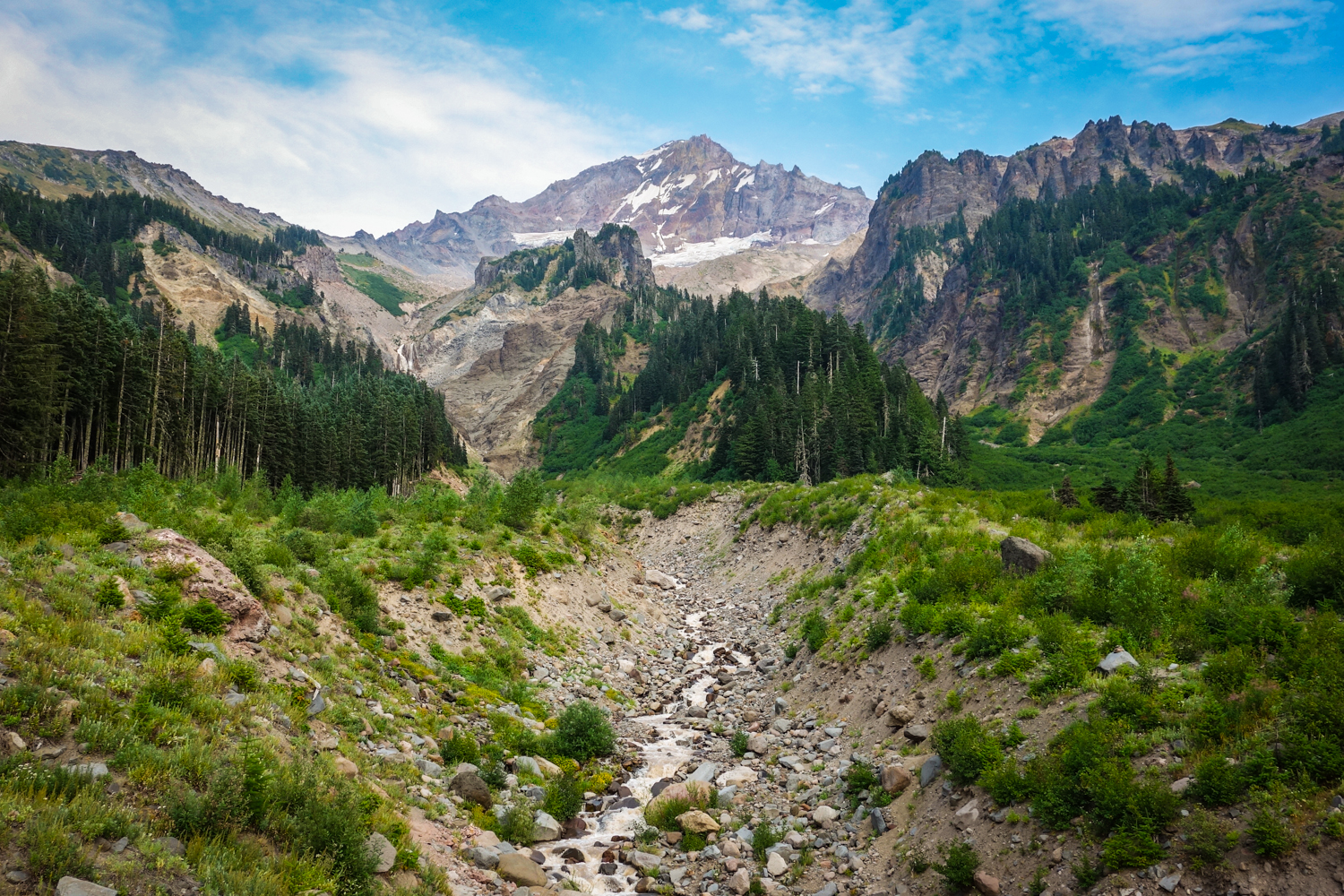
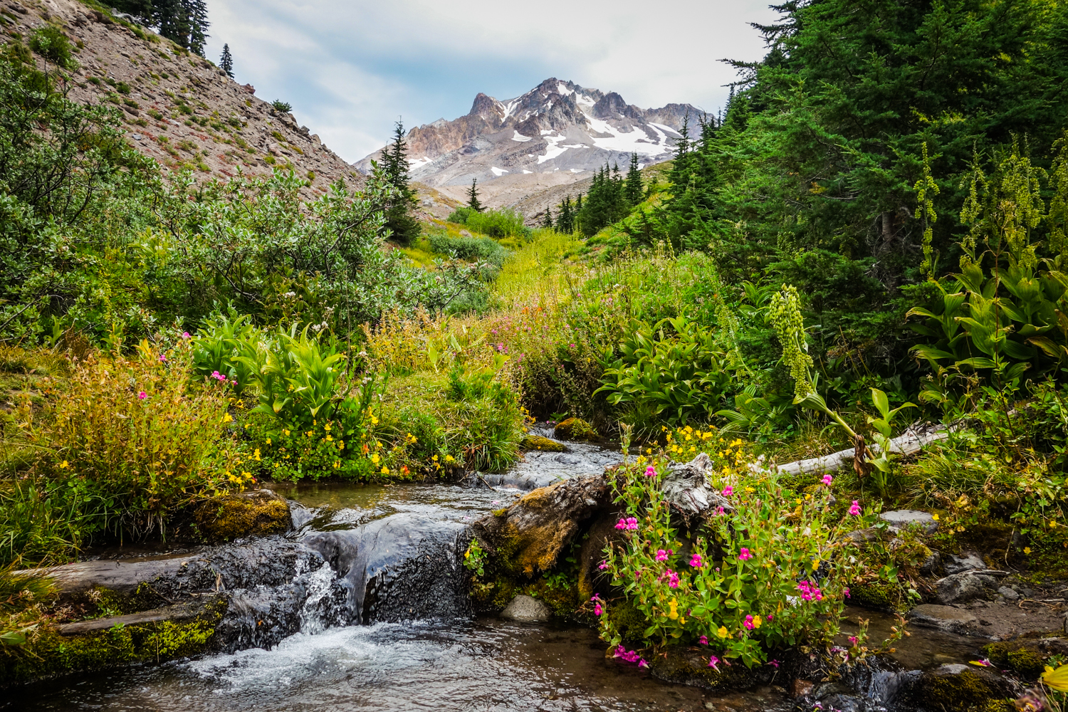
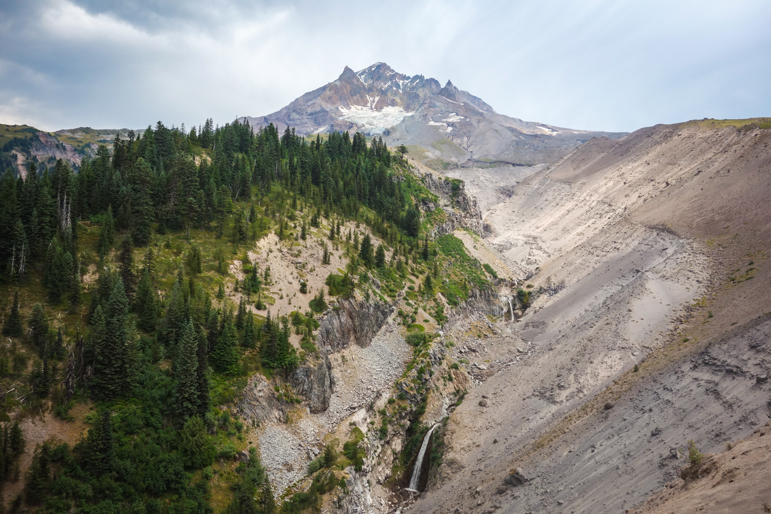
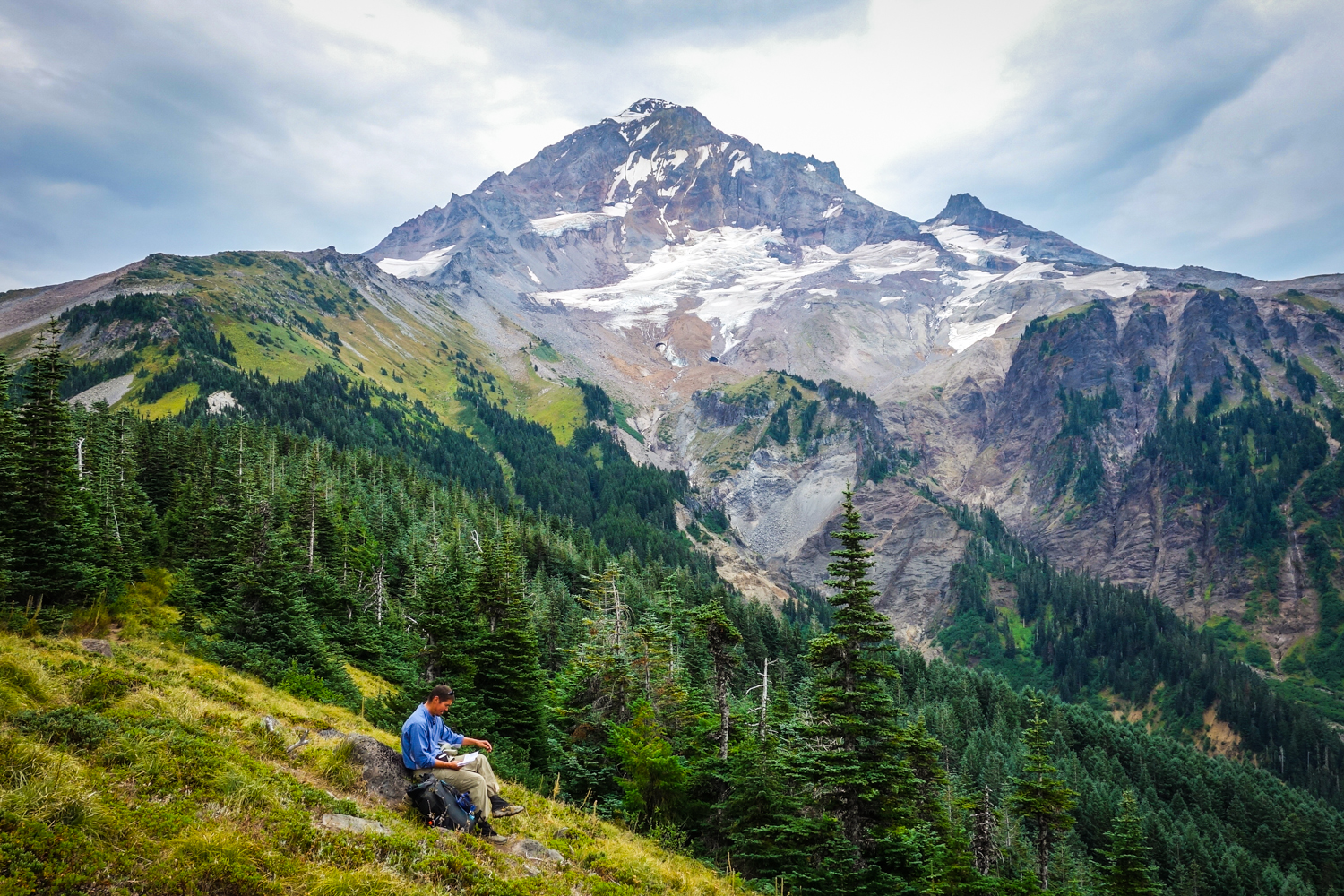
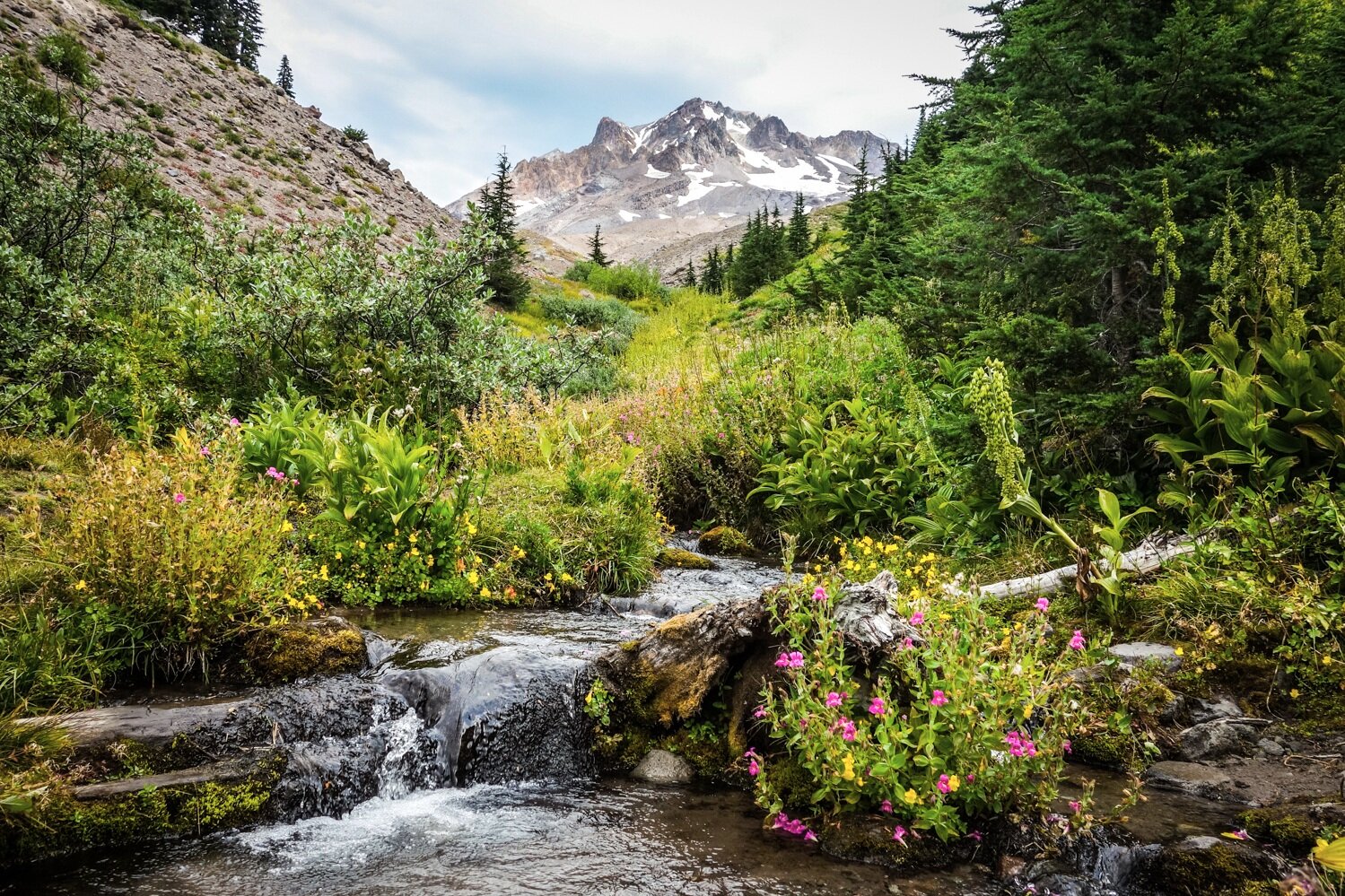
- Length: ~40 miles
- Days needed: 3-5 days (most people complete the loop in 4 days)
- Location: Mount Hood Area, OR
- Best time to hike: End of July to late September
- Difficulty: Strenuous
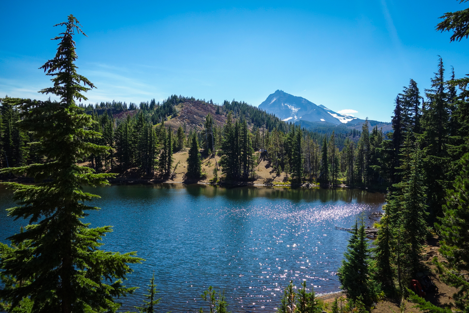
The Timberline Trail around Mt. Hood is one of Oregon’s most iconic and scenic trails. This 40-mile loop is a fantastic way to experience the immense size and beauty of Mt. Hood. On the Timberline you’ll encounter lush old-growth forests, pristine alpine waterfalls, wildflower-filled meadows, towering craggy glaciers, rough volcanic landscapes, and some of the finest cascade views around. The hiking certainly won’t be easy, with plenty of ups and downs along the way, but in the end, the rewards are well worth it.
Timberline Maps & Guides
- CleverHiker Timberline Trail Backpacking Guide – Our complete guide to hiking the Timberline Trail.
- FarOut Timberline Trail Guide – A smartphone app with all the user-generated info you need for navigating the Timberline Trail.
- Green Trails Map 462SX – Mt Hood Climbing Map – This is an excellent, detailed map for the Timberline Trail.
- Backpacking Oregon – This hike is covered in depth in the Backpacking Oregon book.
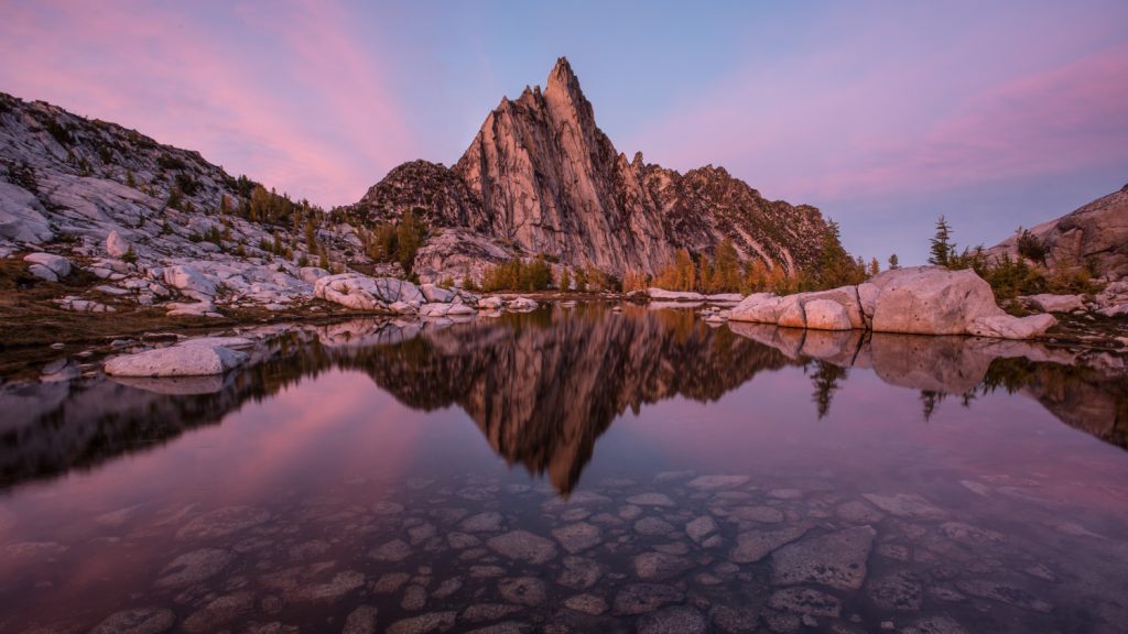
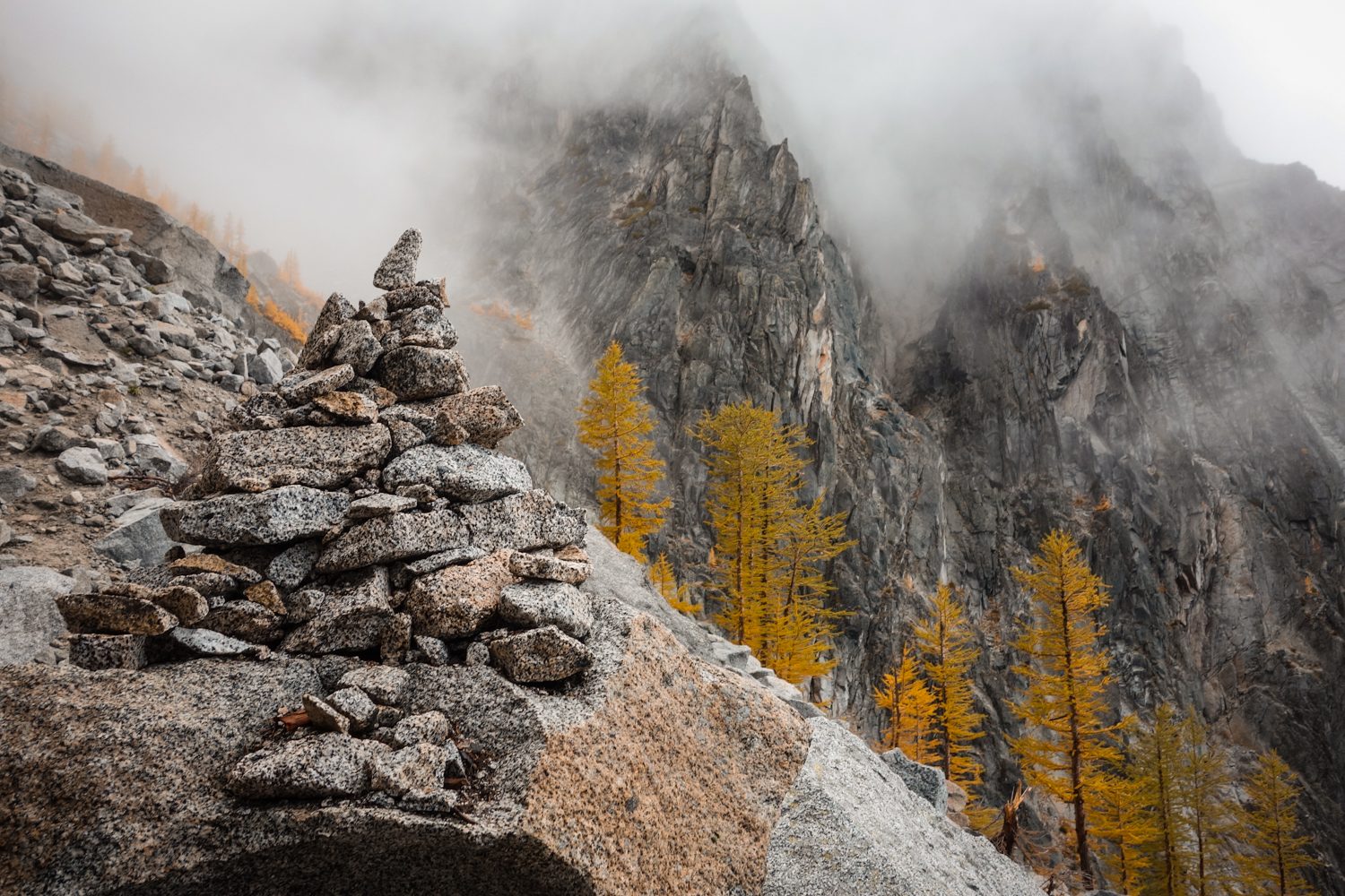
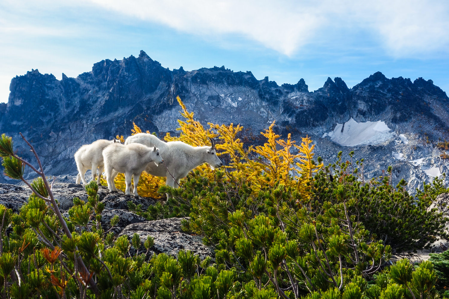
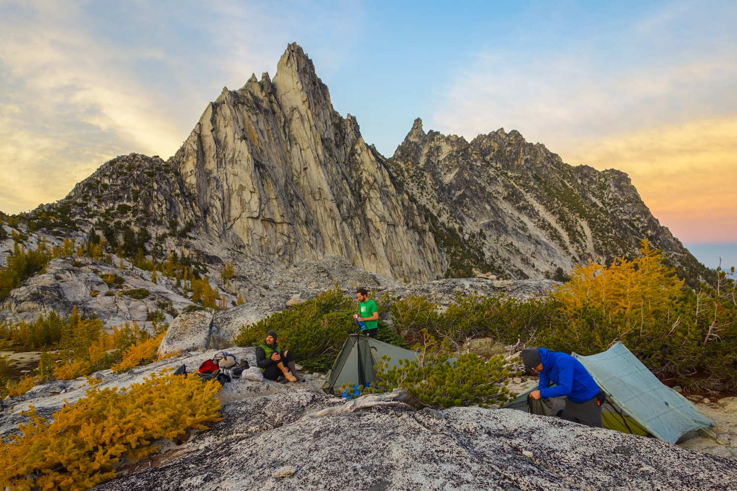
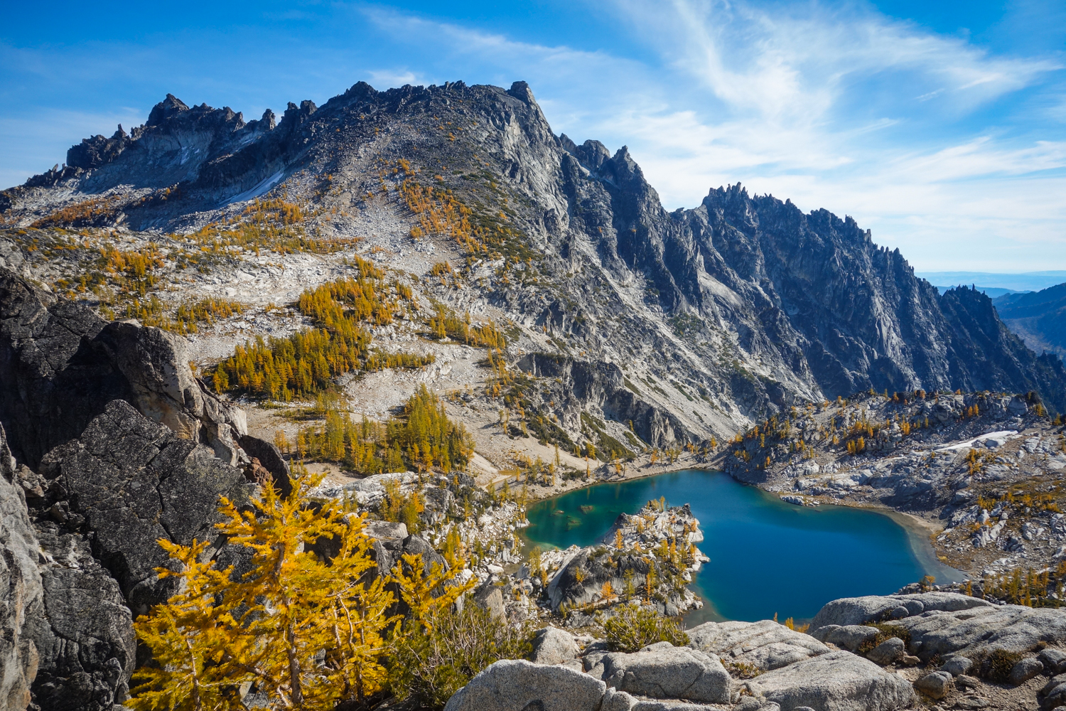
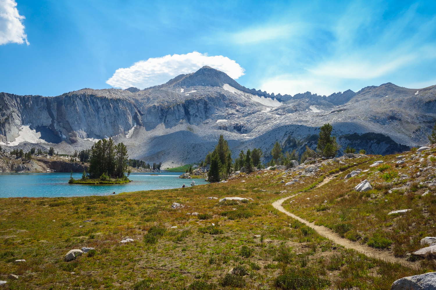
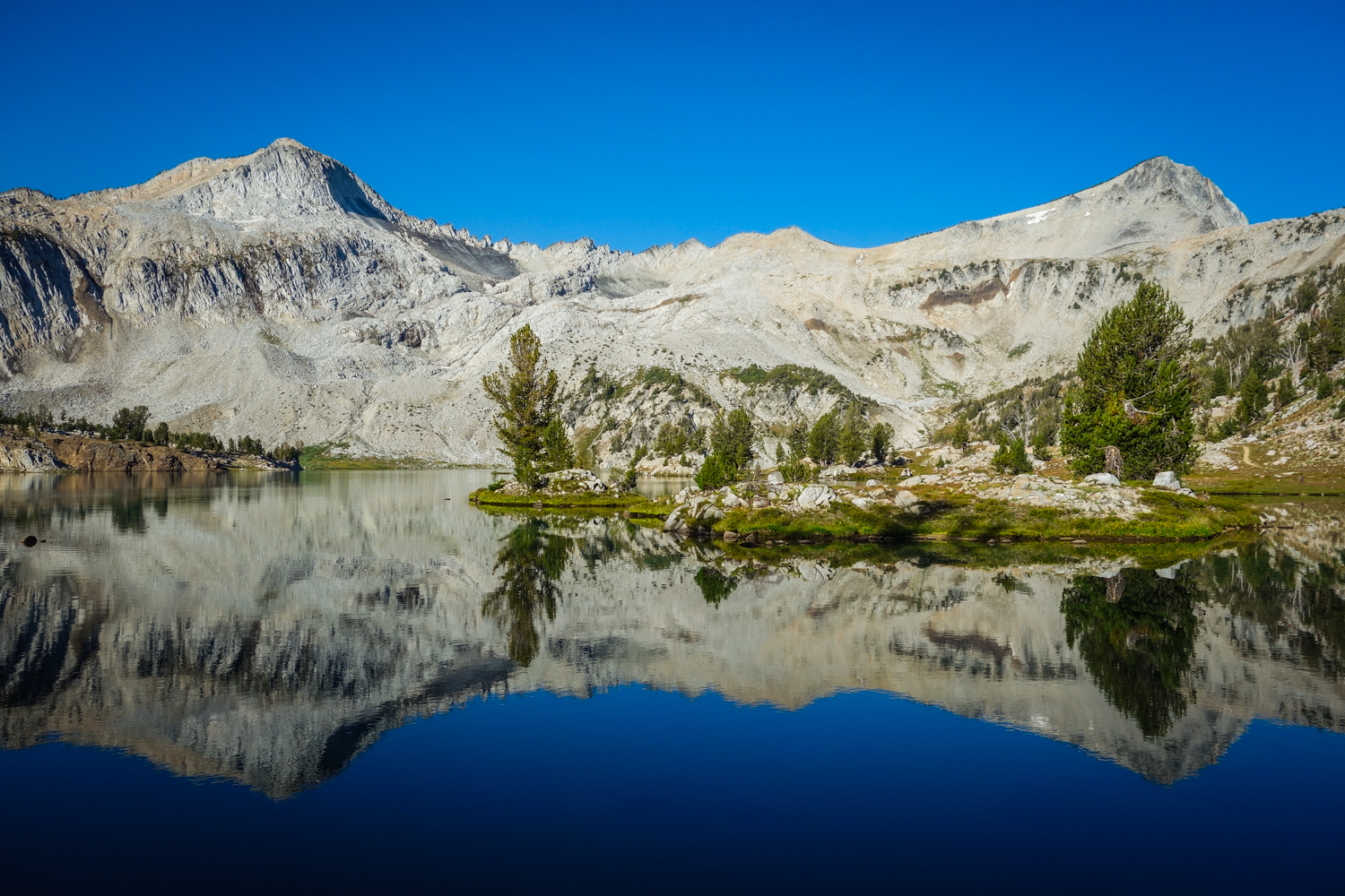
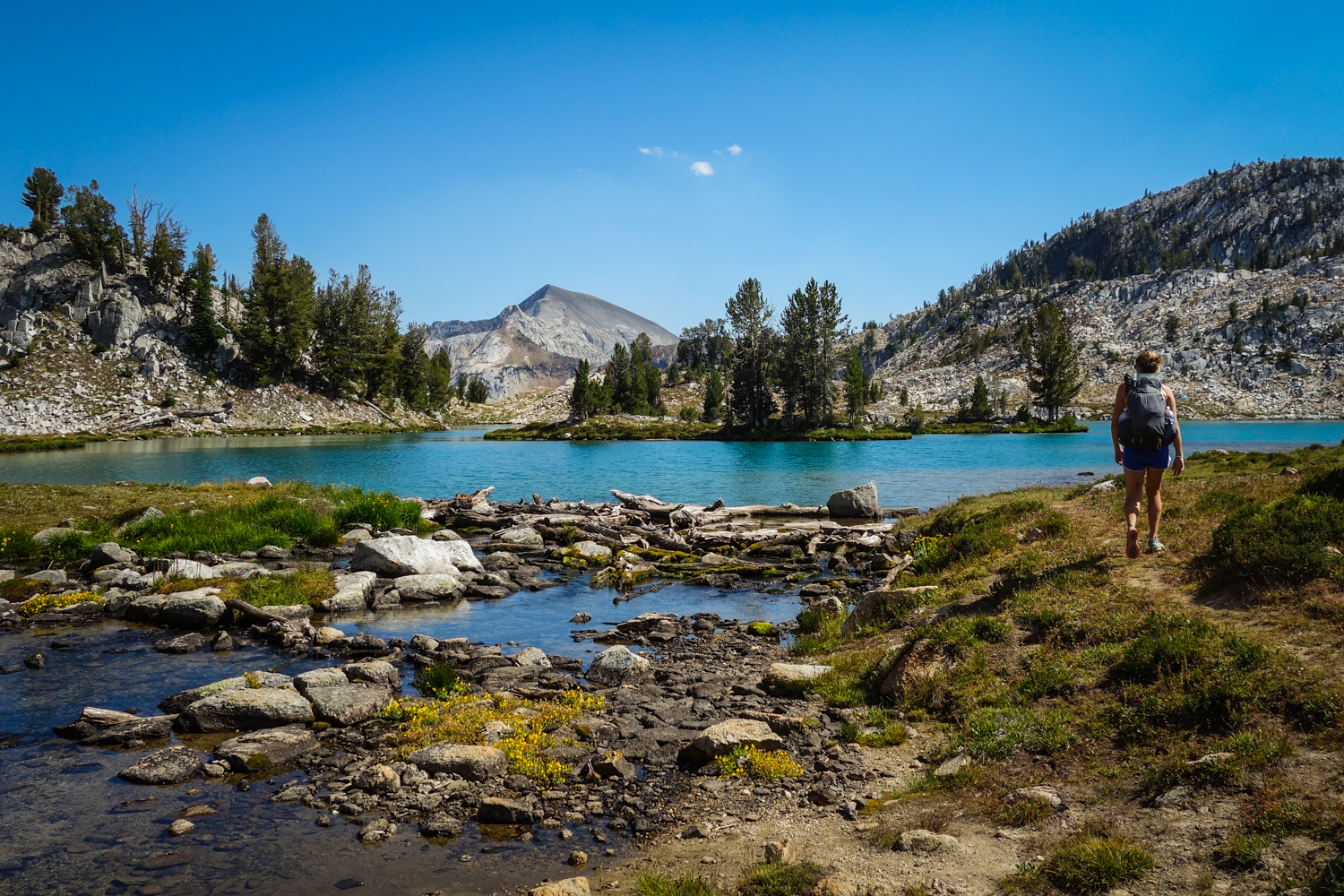
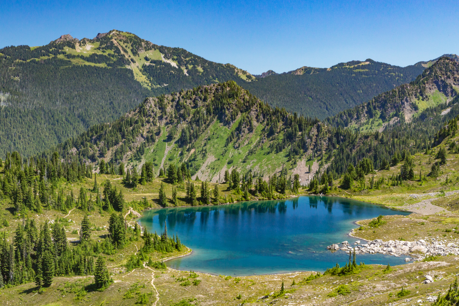
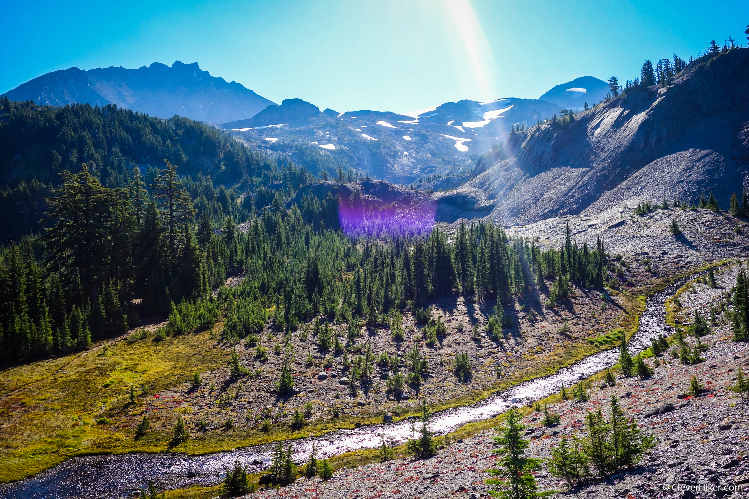
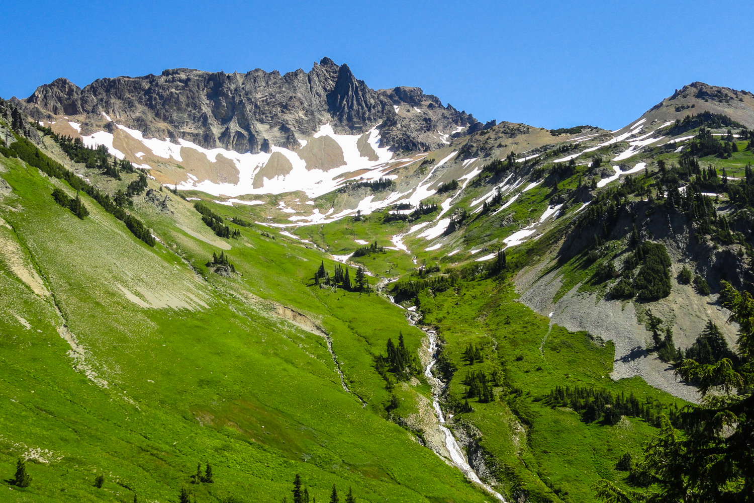
ENCHANTMENT LAKES
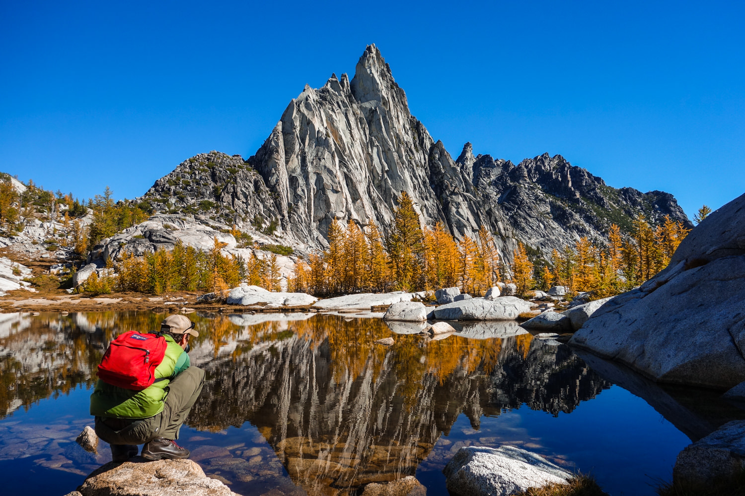
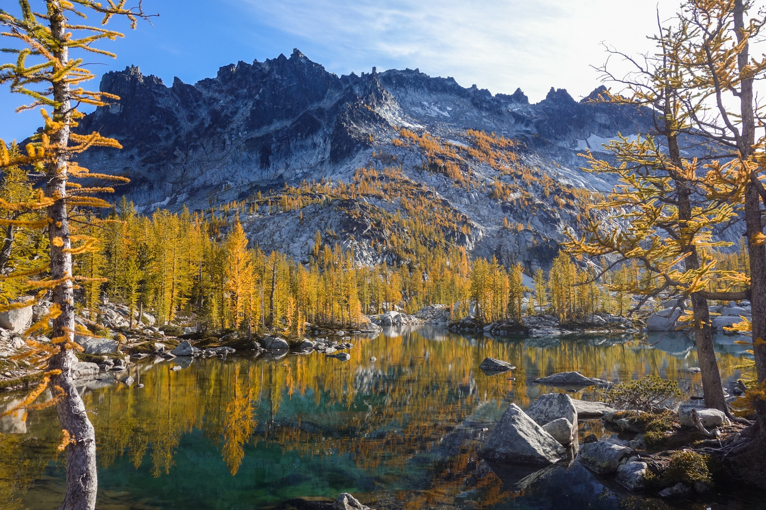
The effort of securing overnight permits is worth the stunning alpine campsites. – photo credit: dave collins (cleverhiker.com)
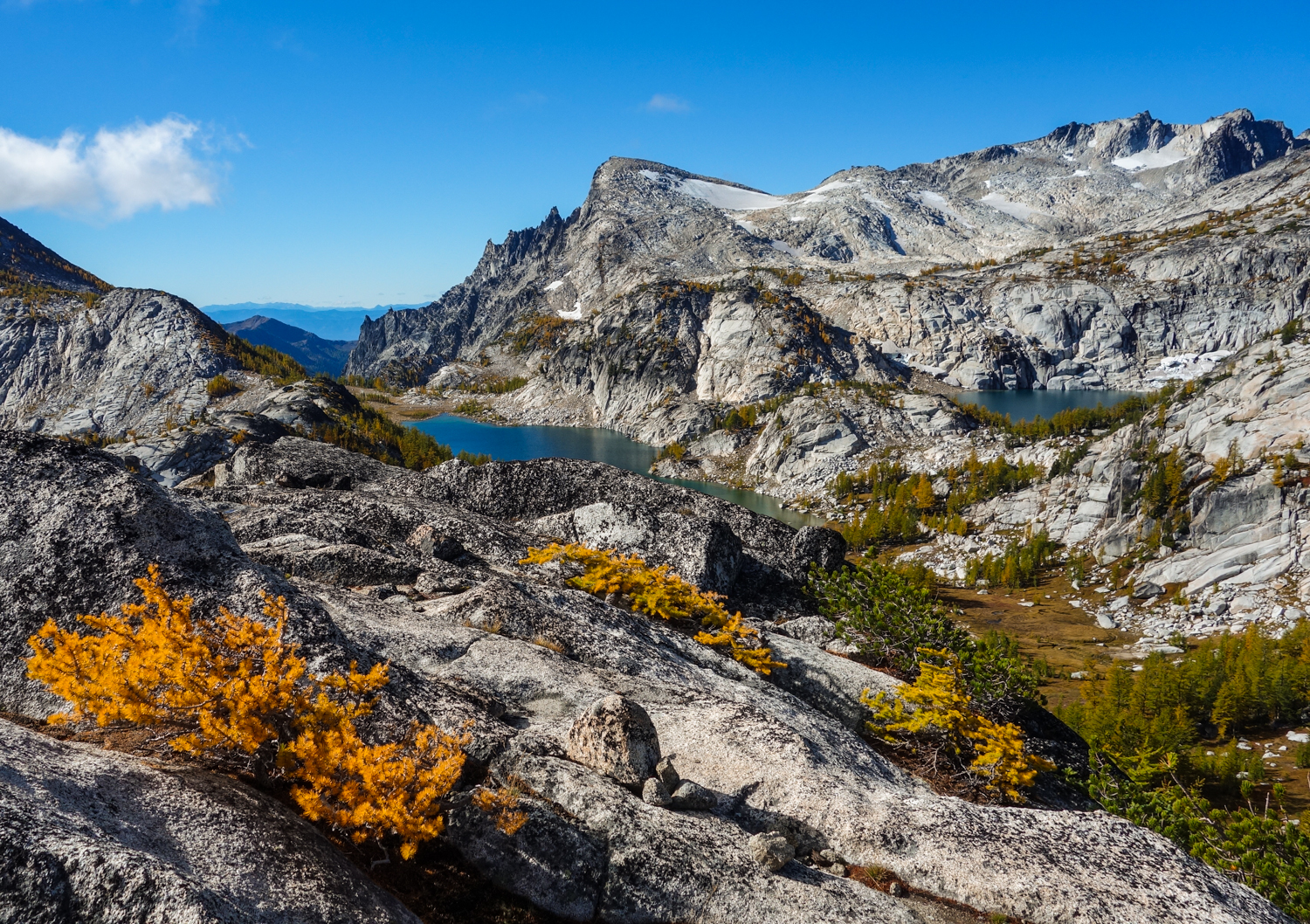
please observe all the LNT practices and local regulations to keep this enchanting area still enchanting. – photo credit: dave collins (cleverhiker.com)
- Length: 19 miles from Stuart Lakes Trailhead to Snow Lakes Trailhead
- Days needed: 3-4 days to explore the entire area
- Location: Leavenworth, WA
- Best time to hike: Permit timeframe is May 15th – October 31st
- Difficulty: Strenuous
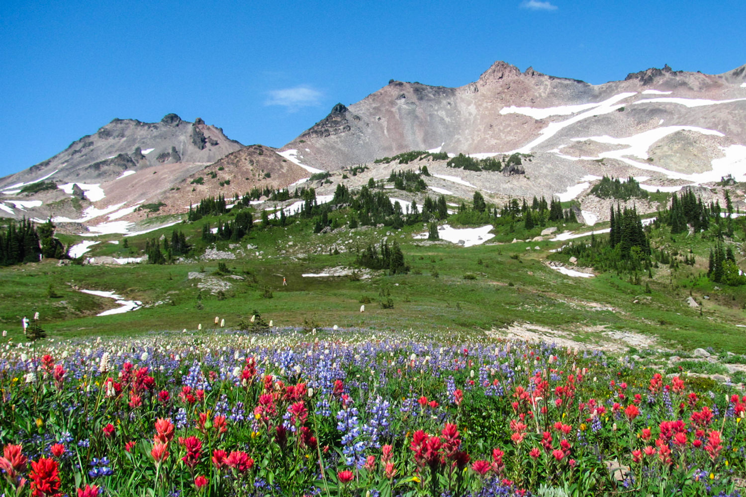
Washington’s Enchantment Lakes are a truly magical sight to see. They reside in an area where immense granite peaks, majestic mountain goats, and crystal clear alpine lakes are hidden around every corner. Be ready for big climbs and jagged peaks along well-maintained trails. For the ambitious hiker, there are some incredible side trips, such as the can’t-miss climb to the top of Little Annapurna for jaw-dropping panoramic views. This area won’t be too crowded because of the strict permitting process, but securing overnight permits during peak season will require good luck. This hike should be on every backpackers bucket list.
Enchantments Maps & Guides
- CleverHiker Enchantment Lakes Backpacking Guide – Our complete guide to backpacking the Enchantment Lakes.
- Green Trails Enchantments Map 209s – This is an excellent, detailed map for the Enchantment Lakes area.
- Backpacking Washington – This hike is covered in depth in the Backpacking Washington book.
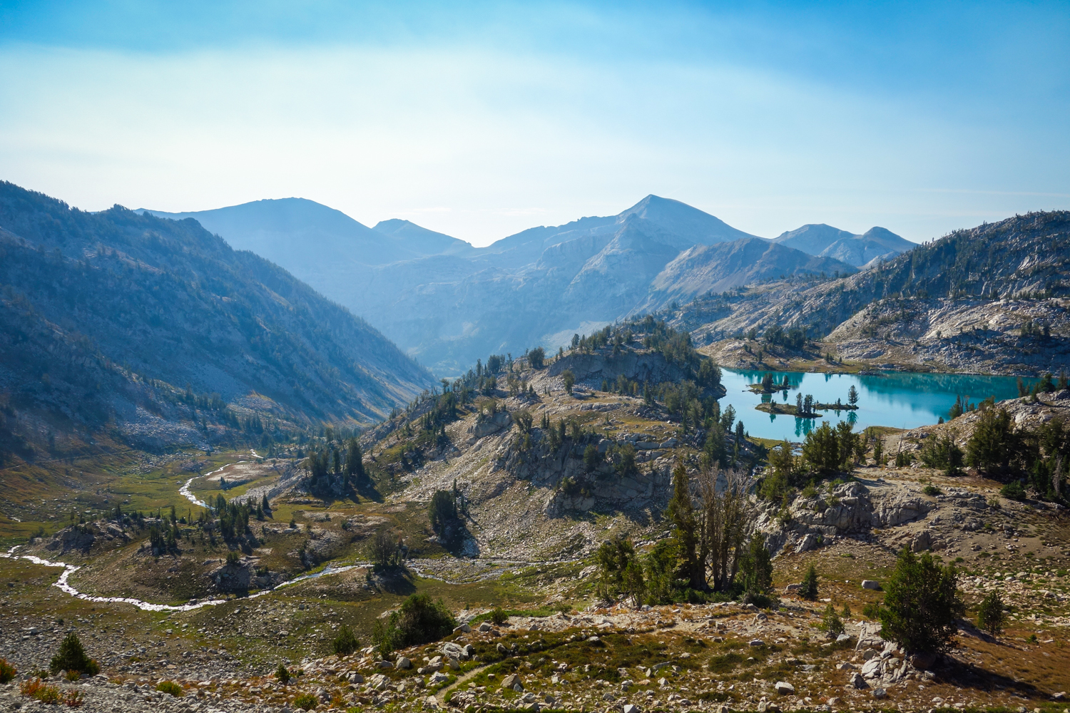
WALLOWA RIVER LOOP
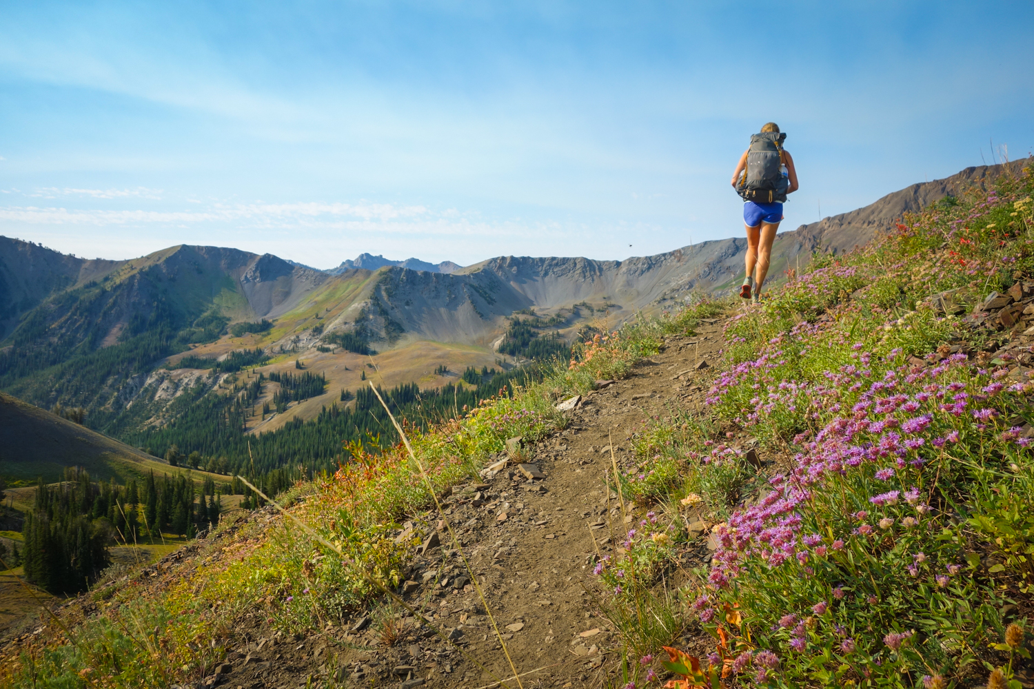
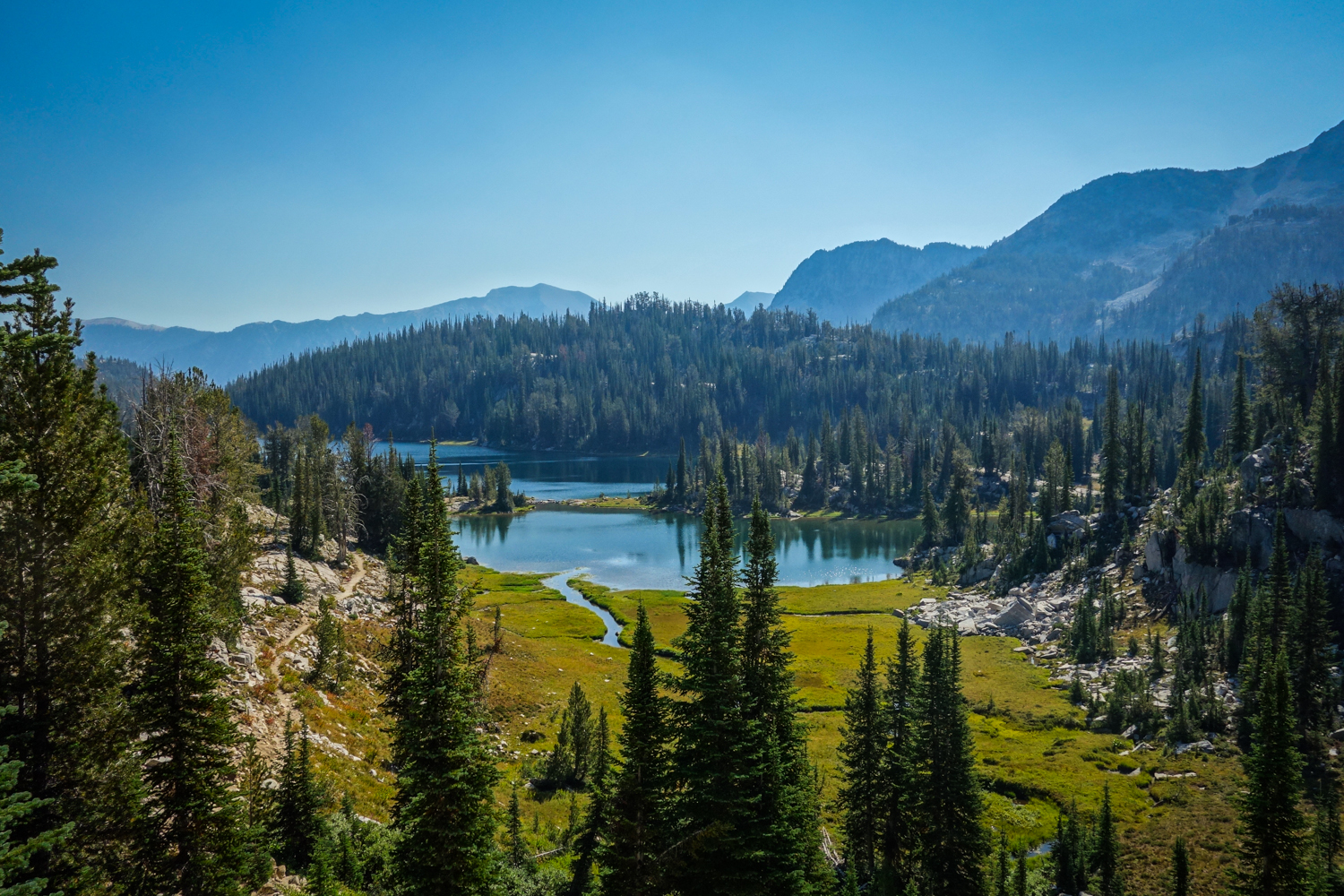
- Length: 36 miles
- Days needed: 4-5 days
- Location: Wallawa-Whitman National Forest – Eagle Cap Wilderness, OR
- Best time to hike: Late July to September
- Difficulty: Moderate to difficult
The Wallowa Mountain Range is one of the finest areas to backpack in Oregon. This loop will take you through the stunning (and popular) Lakes Basin Area and over some breathtaking mountain passes. Over the course of this loop you’ll encounter crystal clear lakes and streams, wildflower-socked meadows, and granite peaks that will make you wonder if you’re still in Oregon. There are also worthy side trips to the summit of Eagle Cap and Matterhorn that will further solidify your appreciation for the Wallowas. Although this trail sees its fair share of hikers, it’s still well worth the trip.
Wallowa Maps & Guides
- CleverHiker Wallowa River Loop Backpacking Guide – Our complete guide to backpacking the Wallowa River Loop. There are two main topo maps for this area – the Imus Geographics and U.S. Forest Service maps.
- Backpacking Oregon – This hike is covered in depth in the Backpacking Oregon book.
- Hiking Oregon’s Eagle Cap Wilderness – A practical and thorough book about Eagle Cap trails that’s complete with maps, descriptions, elevation profiles, and photos.
HIGH DIVIDE – SEVEN LAKES BASIN LOOP
- Length: 19 mile loop
- Days needed: 2-4 days
- Location: Olympic National Park, WA
- Best time to hike: Mid-July to September
- Difficulty: Moderate
- Note: Bear canisters are required for this hike.
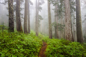
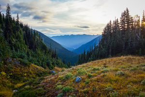
Olympic National Park has some of the most stunningly diverse backpacking trails in the Pacific Northwest and the High Divide Trail is one of it’s most scenic. Though this trek is incredibly beautiful, it’s definitely not a secret. This trail winds its way through old growth forests as you climb into dramatic high alpine scenery. Once you reach the lakes basin, you will be spoiled with pristine pools, gorgeous meadows, and stunning views of Mt. Olympus.
Permits are limited for overnight camping between May 1st and September 30th, but there are also some permits given on a first-come, first-served basis. And if you really want to go all out, you can end your trek with a visit to the Sol Duc Hot Springs Resort to rest those weary bones.
High Divide Maps & Guides
- Best Hike High Divide Loop Guide – A great blog post with detailed information on everything you need to know before hitting the trail.
- Green Trails Map 133S – This is an excellent, detailed map for the the Seven Lakes Basin.
- Backpacking Washington – This hike is covered in depth in the Backpacking Washington book.
- National Geographic Map – This is a detailed map of the entire Olympic National Park.If you want an all-encompassing map and don’t mind carrying the extra bulk, this is a good resource.
- Hiking Olympic National Park – This is a great resource that covers 66 of the best trails the ONP has to offer, ranging from day hikes to multi-day backpacking trips.
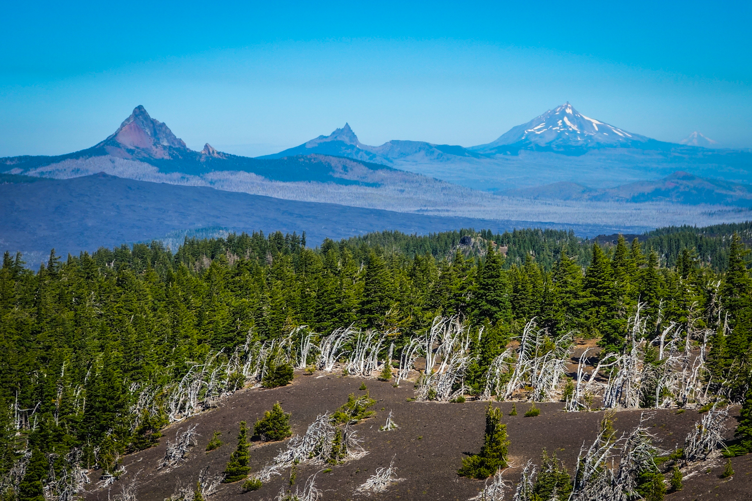
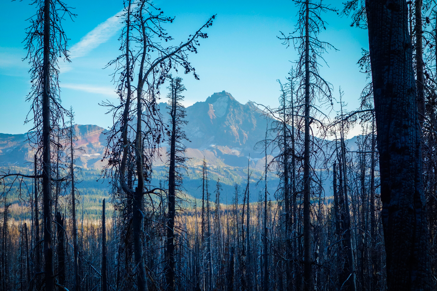
Three Sisters Loop
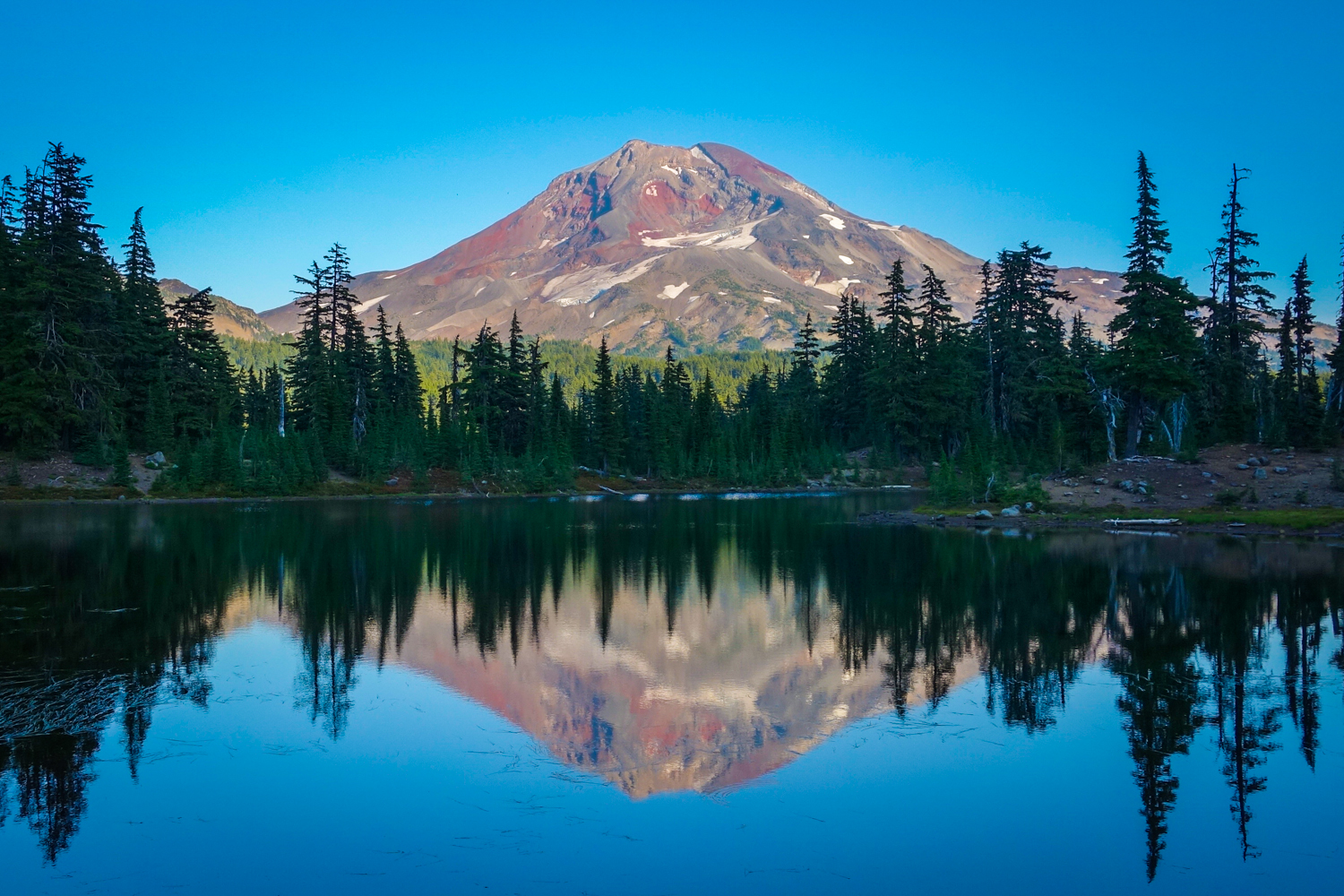
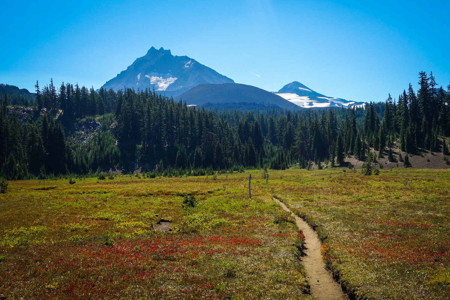
- Length: ~50 miles, depending on trailhead
- Days needed: 3-6 days
- Location: Three Sisters Wilderness, OR
- Best time to hike: Late July to October
- Difficulty: Moderate
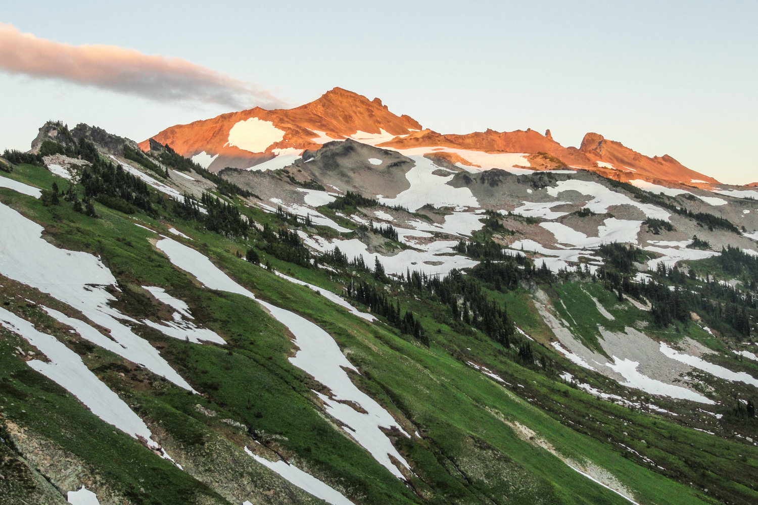
This 50-mile loop circles the North, Middle, and South Sister volcanoes, providing a fantastic array of diverse terrain. Take this amazing journey and wander through rugged volcanic landscapes complete with expansive pumice fields, pristine melt lakes, quiet old-growth forests, newly recovering burn areas, peaceful wildflower meadows, and glossy obsidian streams. This is truly an Oregon adventure not to be missed.
Three Sisters Maps & Guides
CleverHiker Three Sisters Loop Backpacking Guide – Our complete guide to hiking the Three Sisters Loop.
Green Trails Maps 622 SX – This is an excellent, detailed maps for the Three Sisters Loop.
Backpacking Oregon – This hike is covered in depth in the Backpacking Oregon book.
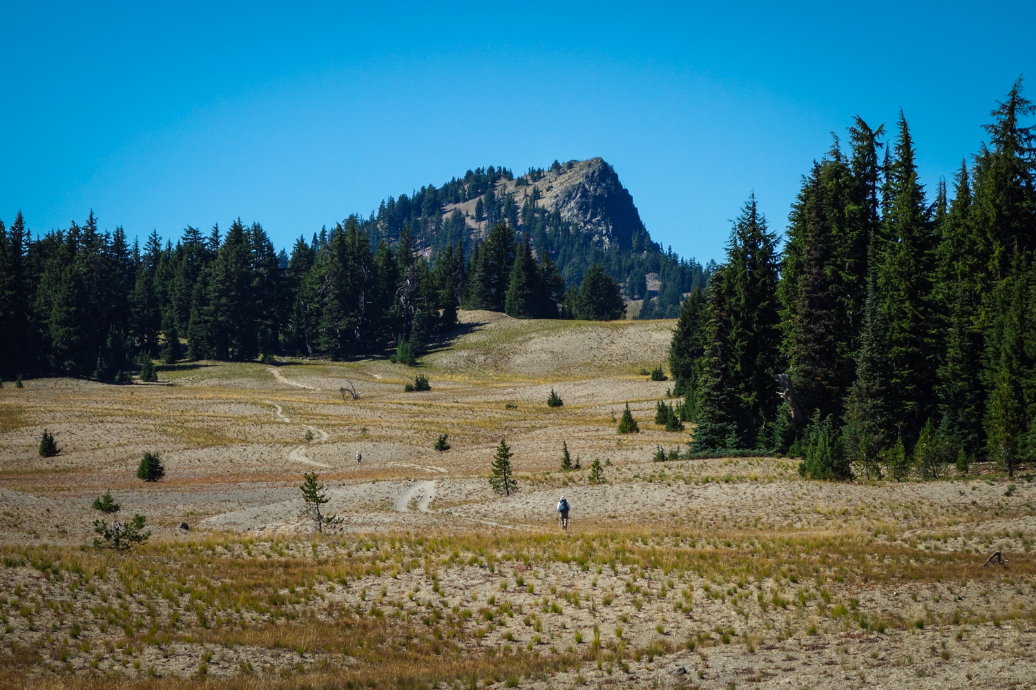
GOAT ROCKS – GOAT LAKE LOOP
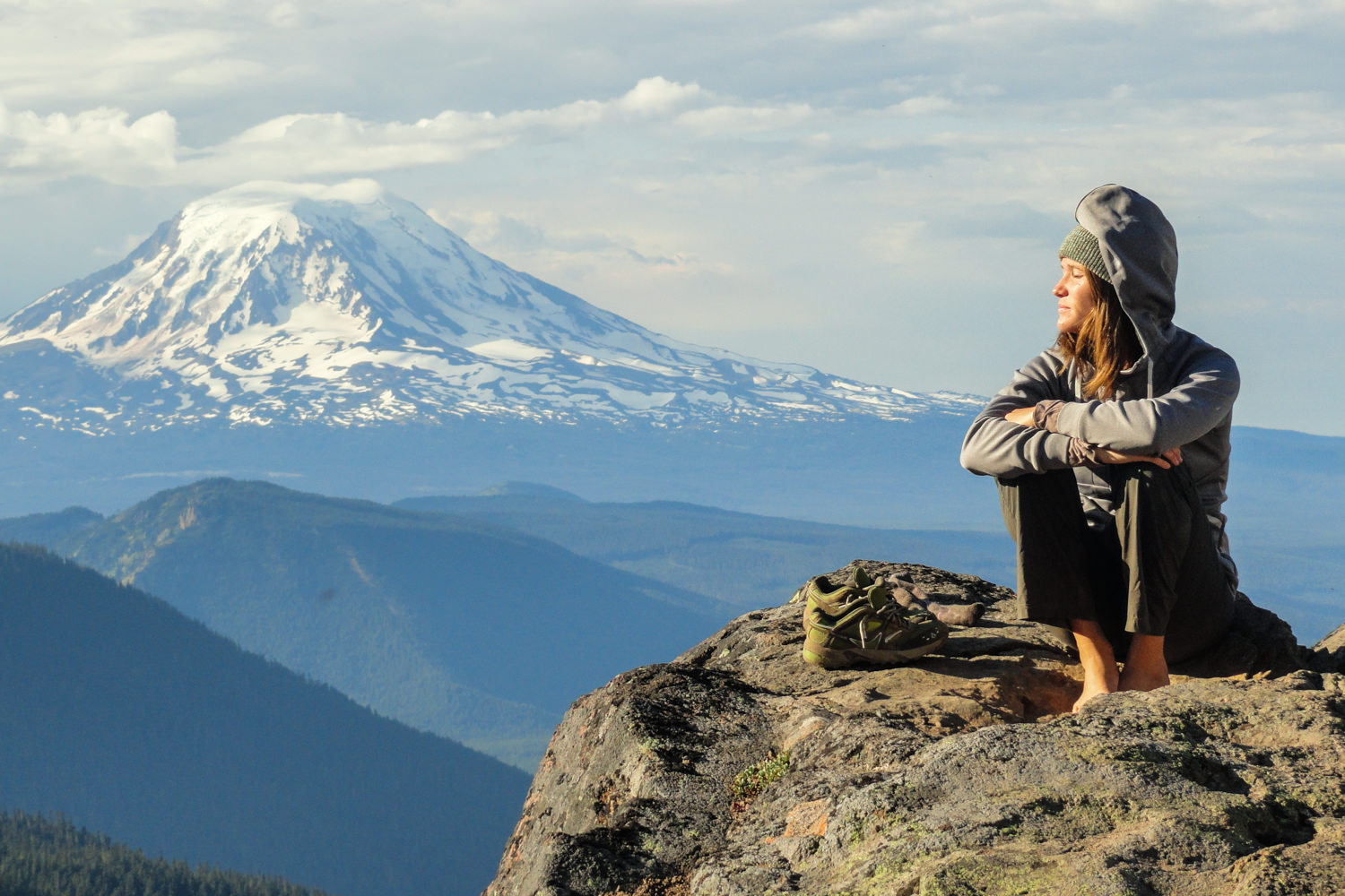
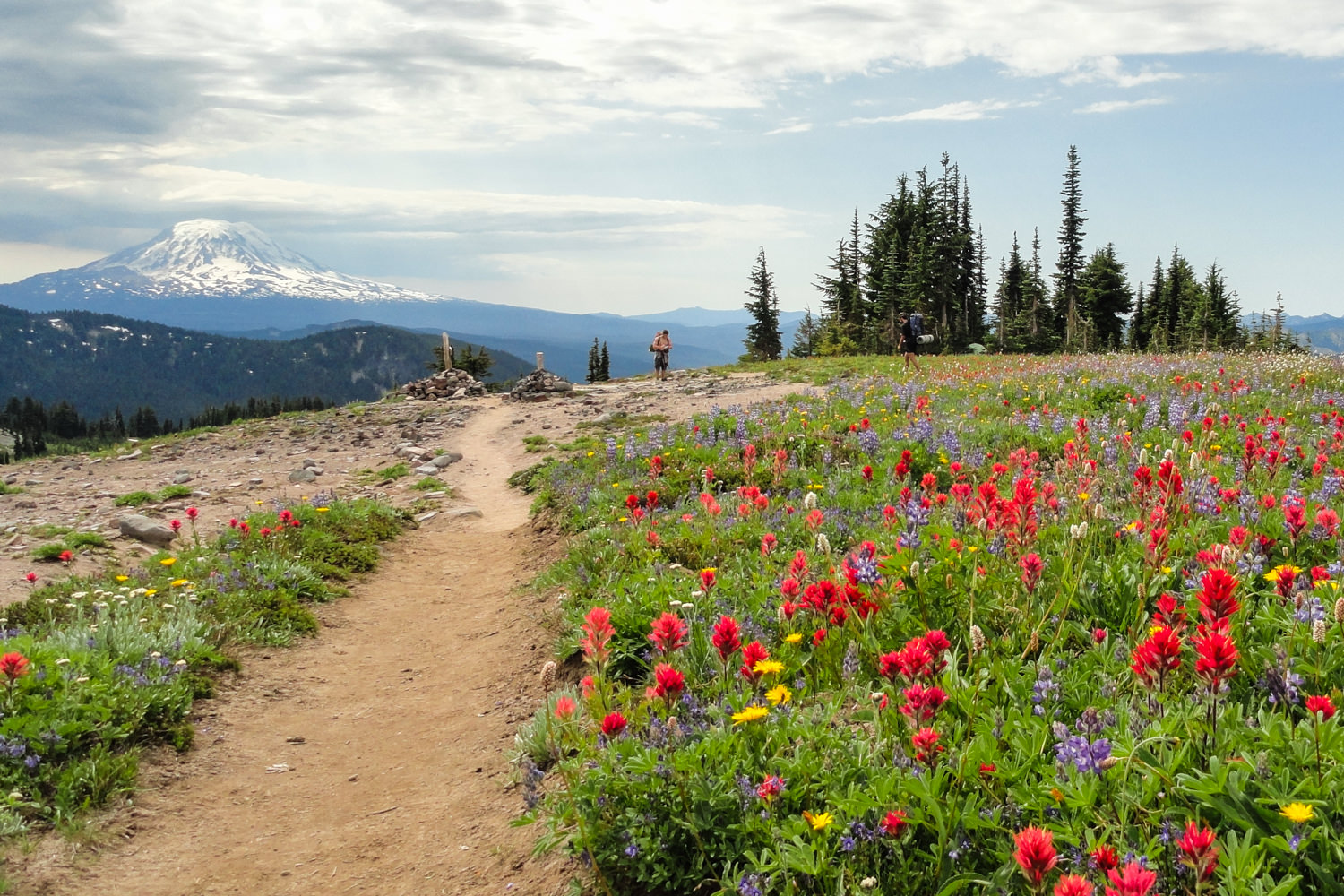
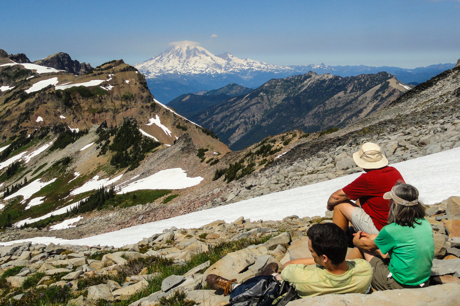
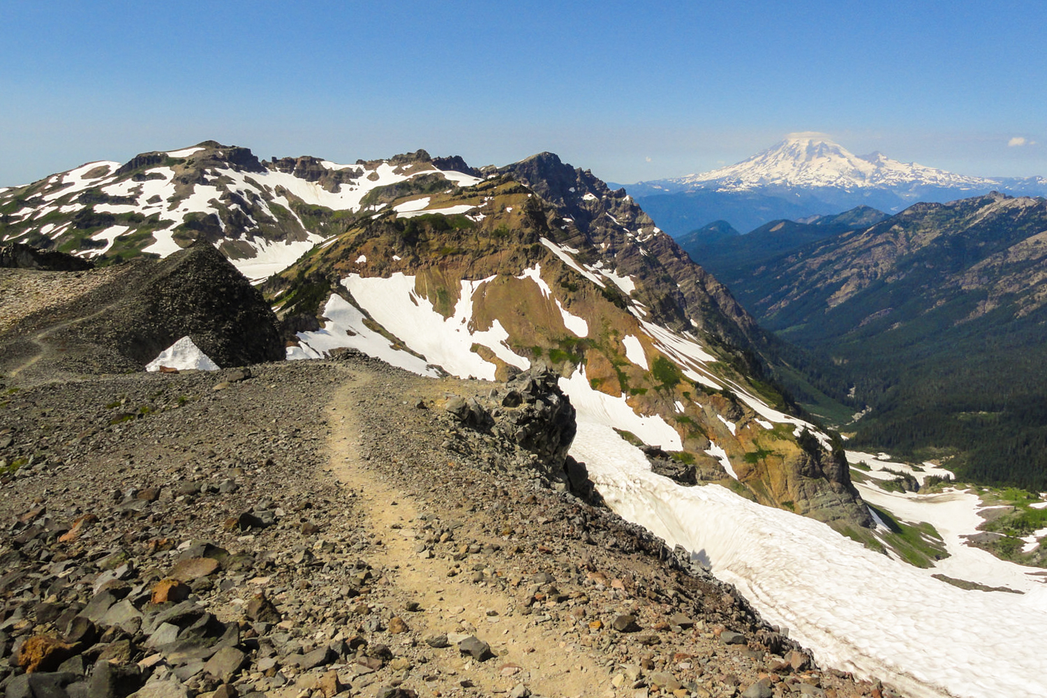
- Length: 13.5 miles (additional miles along the PCT will add time but is well worth it.)
- Days needed: 2-3 days
- Location: Goat Rocks Wilderness, OR
- Best time to hike: July to October
- Difficulty: Moderate
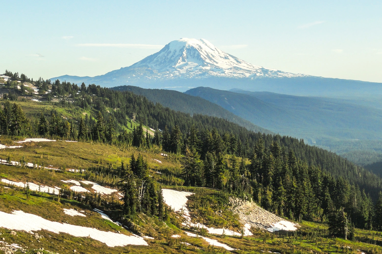
With panoramic views of St. Helens, Rainier and Adams, the Goat Lake Loop is an ideal backpacking trip for those with limited time. Traverse through wildflower meadows and rocky ridges as you ascend to beautiful and frigid Goat Lake. There are a few epic campsites on the ridge near Goat Lake, but you may have to get there early to snag one. If you have more time, set up a basecamp near Snowgrass Flats and hike north along the Pacific Crest Trail. That’s where you’ll find some of the most jaw-dropping scenery in the area: mountain vistas in all directions with a knife ridge hike and, if you’re lucky, mountain goats.
Goat Rocks Maps & Guides
- Oregon Hikers – Goat Lake Loop – This is a great play-by-play description of the Goat Lake Loop with information on mileage, a map, and trip reports.
- Green Trails Map 303S – A detailed backpacking map of the Goat Rocks Area.
- Backpacking Washington – This hike is covered in depth in the Backpacking Washington book.
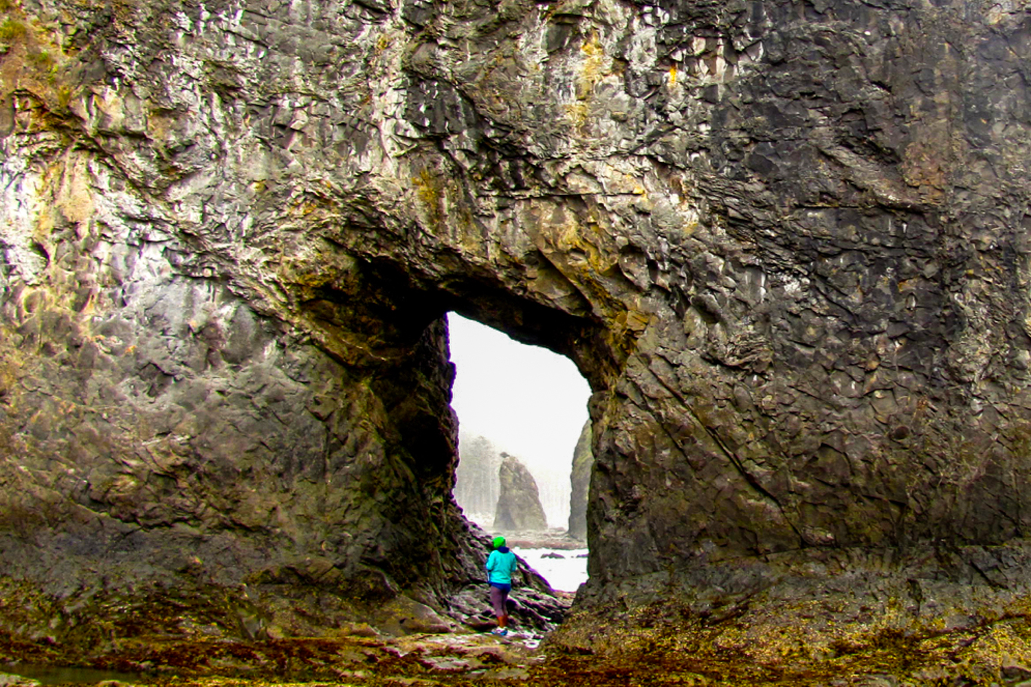
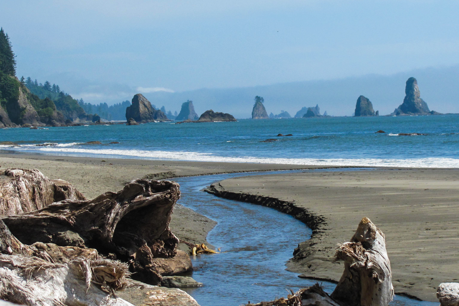
Olympic Coast Trail
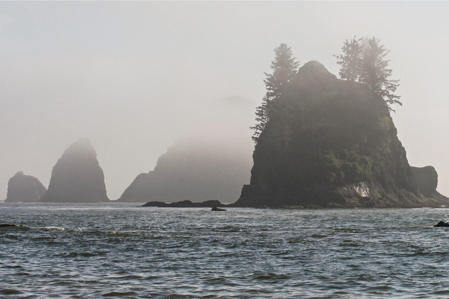
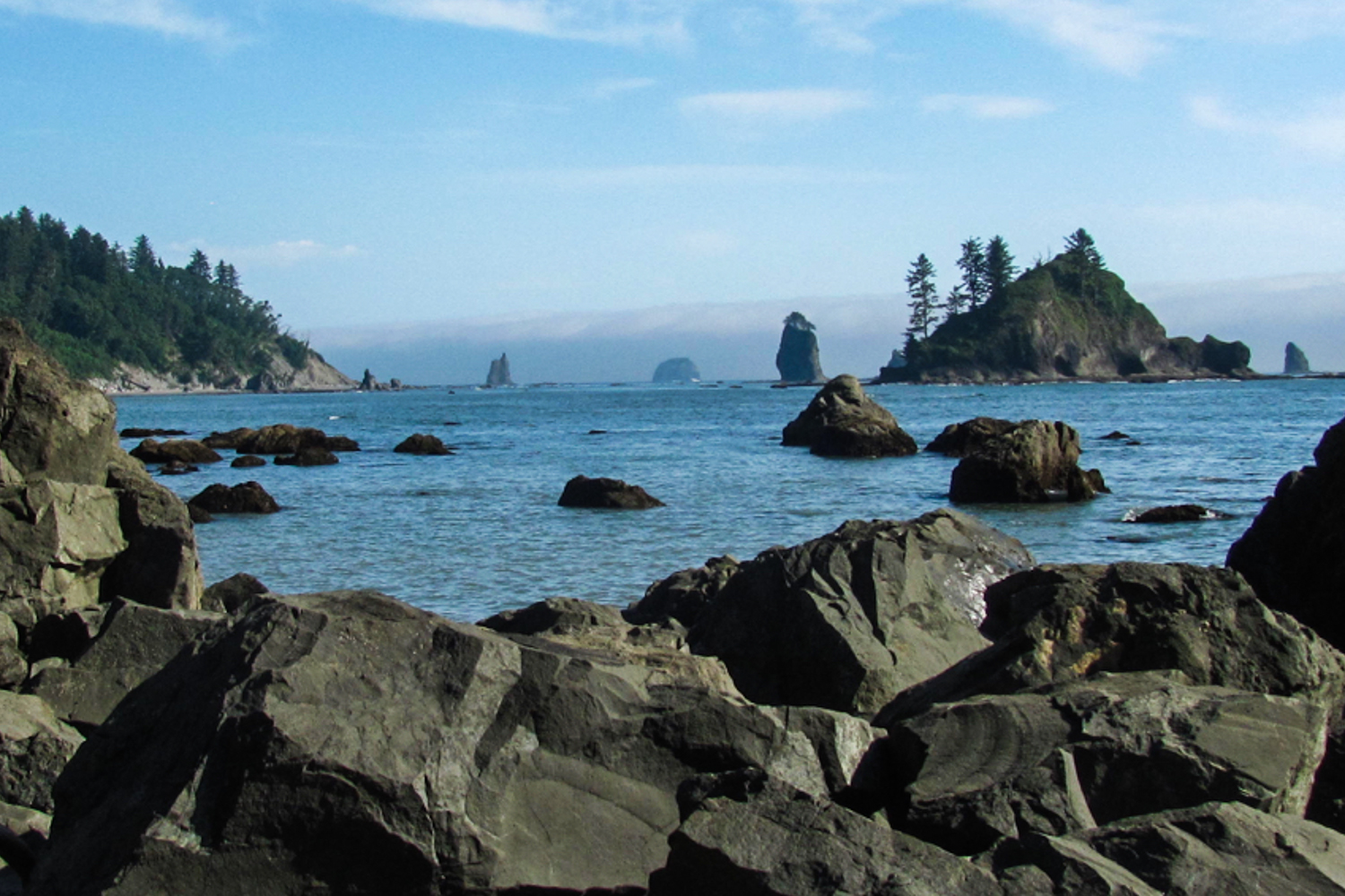
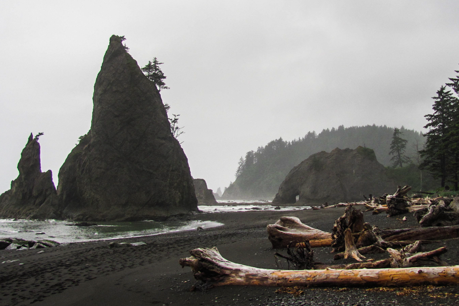
- Length: Varies (73 miles of possible trails)
- Days needed: Varies
- Location: Olympic National Park Coastal Area, WA
- Best time to hike: Year round, weather permitting. Winter storms can elevate tides and make beach walking hazardous, so closely monitor weather reports before your hike.
- Difficulty: Moderate
- Note: Bear canisters are required for this hike. Also, carry a tide chart and know how to read it when camping along the coast.
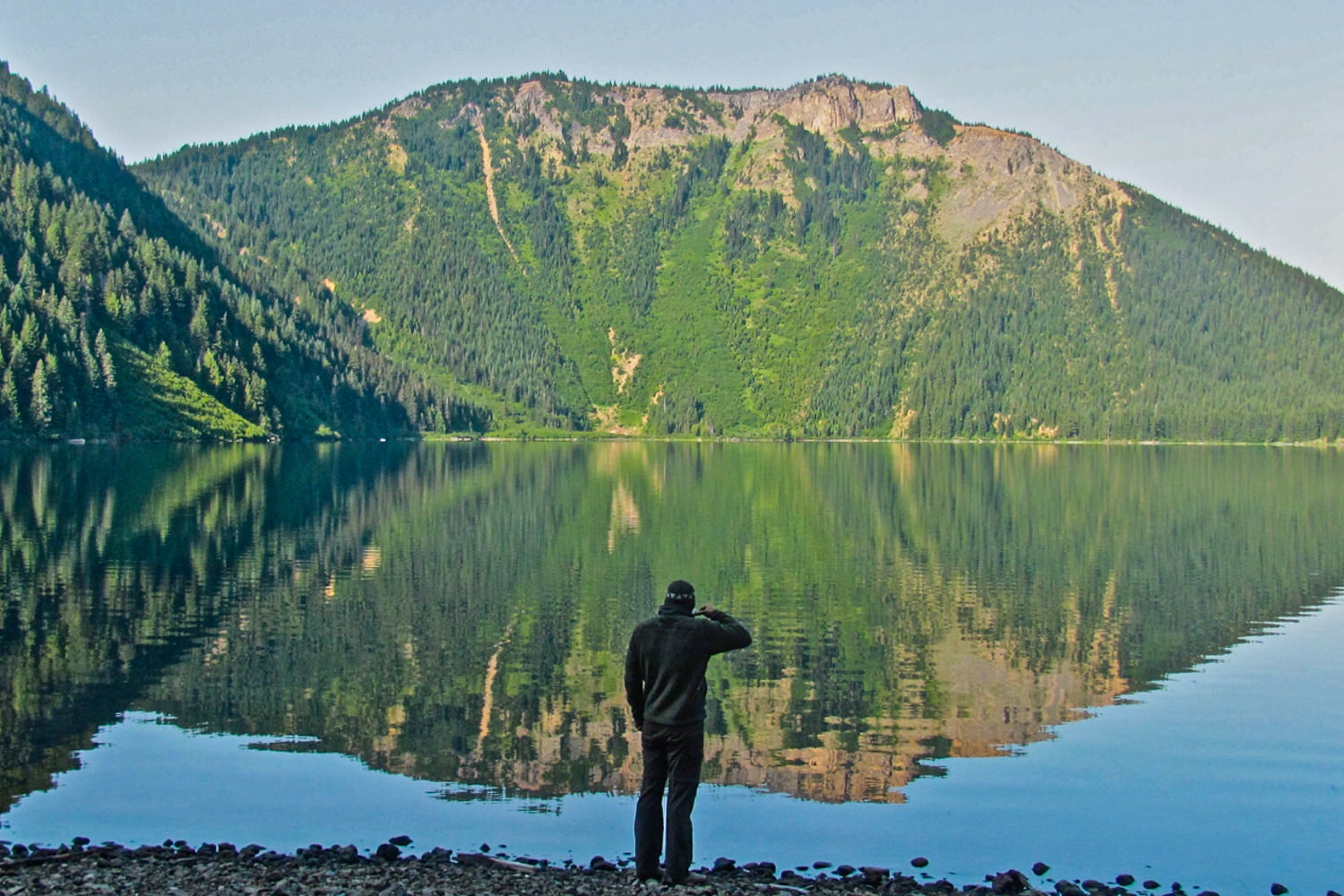
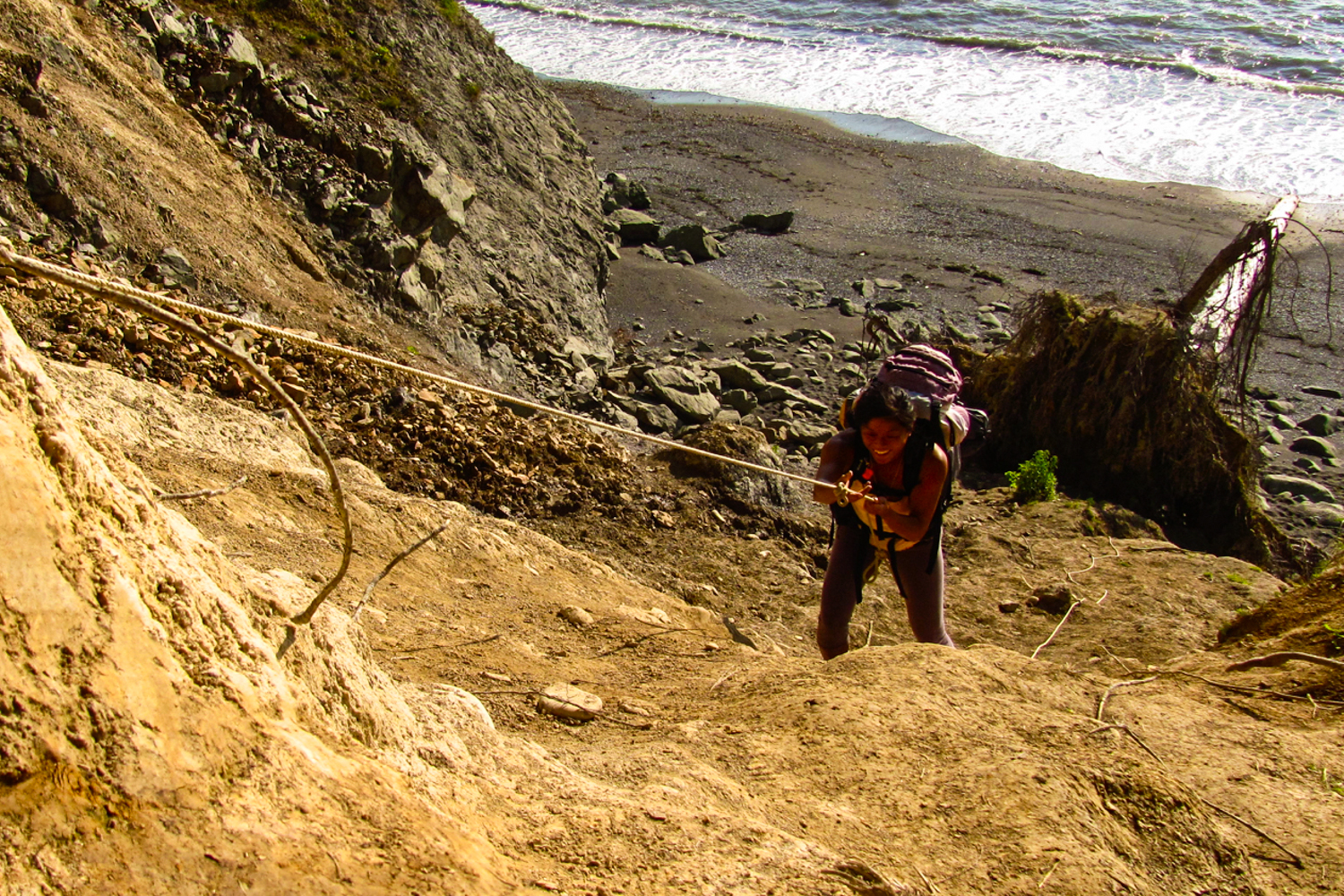
Many people visiting the Olympic National Park choose to hike into the Hoh Rain Forest or climb into the glaciated peaks surrounding Mt. Olympus. While both of those trips are awe-inspiring in their own right, don’t discount the unique experience of backpacking along the Olympic Coast. You will see wild desolate beaches, endless sea stacks, and daunting headlands with the chance to spot starfish and sea anemones in tide pools along the way. These 73 miles of rugged, undeveloped coastline are uniquely challenging, but very rewarding. Hike from one deserted beach to the next through a series of overland trails, many of which employ ropes and ladders to help you climb the eroded embankments.
Camping is permitted along the coast, except between the Quillayute River and Ellen Creek. The area between Shi Shi Beach and Ozette is the most stunning, however if you venture farther away you’ll find more solitude. Along the coast there are some forested campsites and you can also camp on the beach, just make absolutely certain you’re well above the high tide line.
Goat Rocks Maps & Guides
National Park Service: Olympic Coast Routes – Our favorite source of information on various coastal routes and trails.
Backpacking Washington – Hikes along the Olympic National Park coastal regions are covered in depth in the Backpacking Washington book as well.
Green Trails Maps 98S, 130S, and 163S – Once you decide which portion of the coastal route you are going to tackle, pick the corresponding map and you should be good to go.
National Geographic Map – This is a detailed map of the entire Olympic National Park.If you want an all-encompassing map and don’t mind carrying the extra bulk, this is a good resource.
Hiking Olympic National Park – This is a great resource that covers 66 of the best trails the ONP has to offer, ranging from day hikes to multi-day backpacking trips.
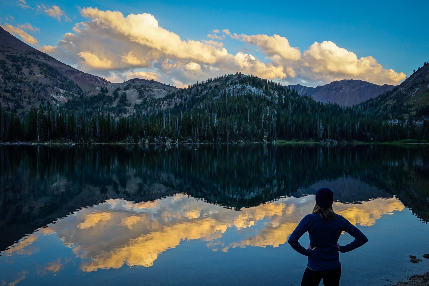
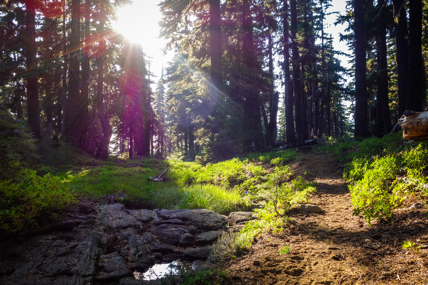
PNW Backpacking Considerations
LEAVE NO TRACE
No matter where your next adventure takes you, please follow wilderness regulations and help keep our wild spaces pristine for years to come. Leave no trace y’all.
DIFFICULTY RATING
Difficulty depends on your experience, physical fitness, pack weight, trail conditions, and weather. It’s nearly impossible for us to make individual difficulty recommendations without knowing you, so please think about those considerations when planning your hike.
PACKING LIGHT
We love lightweight backpacking because it makes hiking more enjoyable. And in the PNW, keeping your pack light makes a huge difference on climbs and descents. Our gear guides are dedicated to recommending exceptional lightweight equipment to help minimize pack weight and maximize comfort.
SOLITUDE
Many of the trails on this list are iconic and therefore popular. Hiking during the week or outside of peak season will reduce the number of travelers you see on the trail. Having said that, the wilderness is far from Portland or Seattle, so you’ll have plenty of time to yourself as well.
NAVIGATION
The trails listed in this guide are generally well-maintained and well-marked. That said, you should always carry a topographical map and compass in the wilderness and know how to use them. If you need a navigation refresher, check out our video tutorials, Navigation #1 – Staying Found, and Navigation #2 – Map, Compass, & GPS.
MOSQUITOES
July and August are generally great for wildflowers in the Pacific Northwest, but that’s also the time when mosquitoes will be the worst. Use a combination of permethrin on your clothing and a small amount of 30% DEET for full protection.
BEARS
Black bears are common in the Pacific Northwest, so proper food storage is very important. You’re less likely to see bears on popular trails, but there will still be small critters trying to get into your food supply, and they’ll happily chew through your expensive gear to get after it. Make sure to carry a food storage container or know how to hang a bear bag properly. Bear canisters and Ursacks are the most effective and easiest storage methods. Remember: proper food storage is for the safety of you and the bears.
RAIN
It’s no secret that it rains a lot in the PNW. That’s the main reason it’s so green and lush, but continuous rain can also be a major bummer on backcountry trips. Hypothermia is a very real danger when hiking in the rain, so learning how to stay safe, dry, and happy in the rain is a key PNW skill. Pay close attention to the weather forecast before your trip and always be prepared for wet weather. And if you need some fresh gear, check out our guides on rain jackets and rain pants.
BACKPACKING BOOKS
The Backpacking Oregon and Backpacking Washington books are two of our favorite resources for Pacific Northwest trip planning. They feature detailed information on the iconic trails in this article as well as some lesser known yet equally worthy hikes. If you find yourself in the PNW backcountry often, find a space on your bookshelf for both.
Wrap Up
We hope you’ve enjoyed this list of our favorite Pacific Northwest backpacking trips. We absolutely love exploring the PNW and we hope these treks help you do the same. Please remember to hike responsibly and help preserve our beautiful wild spaces for generations to come.