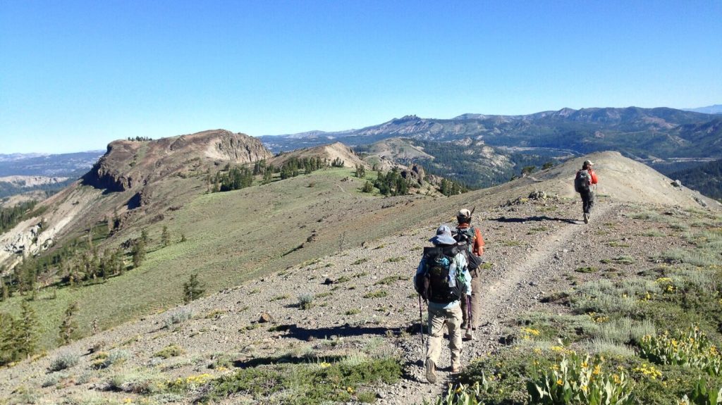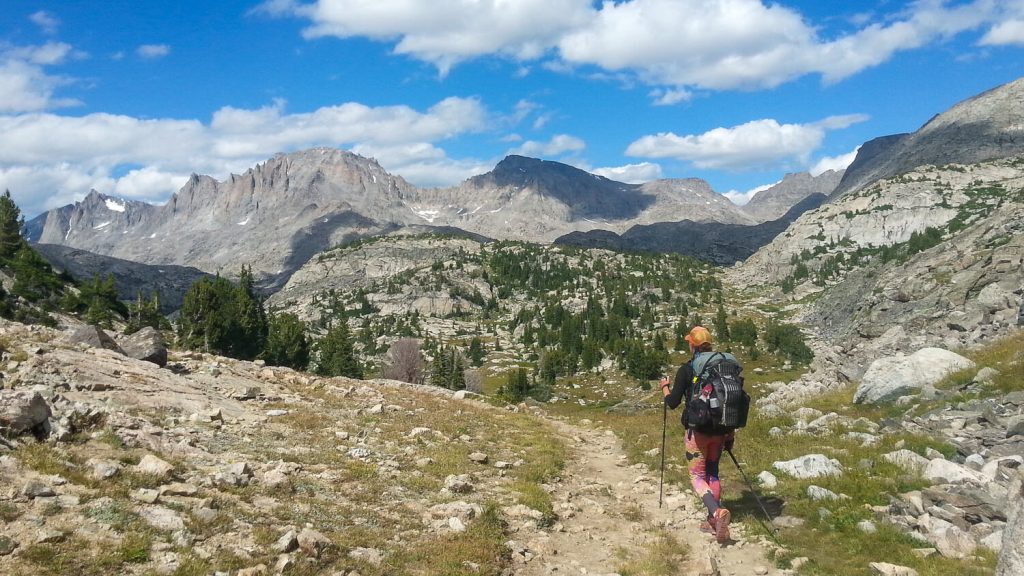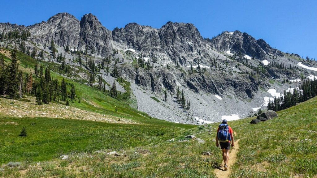

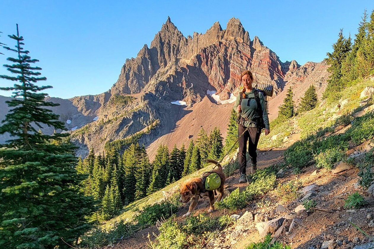
This moderately easy, short loop around Three Fingered Jack offers nearly unending mountain and lake views. You’ll not only get up close and personal with craggy Three-Fingered Jack as you circumnavigate the peak, but you’ll also catch glimpses of the surrounding Cascade Range volcanoes around every corner.
Over half of the route coincides with the Pacific Crest National Scenic Trail, which tends to be well graded and maintained. And since it’s less than 24 miles, this trip is doable in just a couple days. Most of the trail traverses land ravaged by the B&B Complex wildfires in 2003.
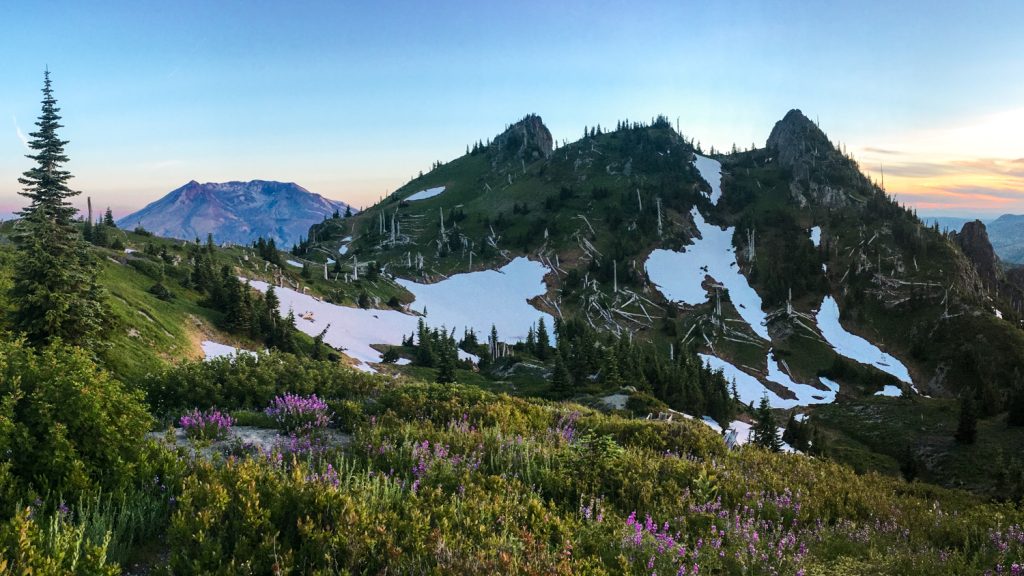
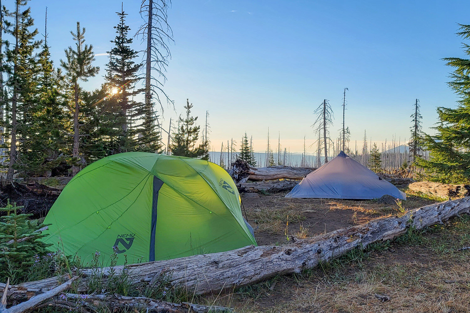
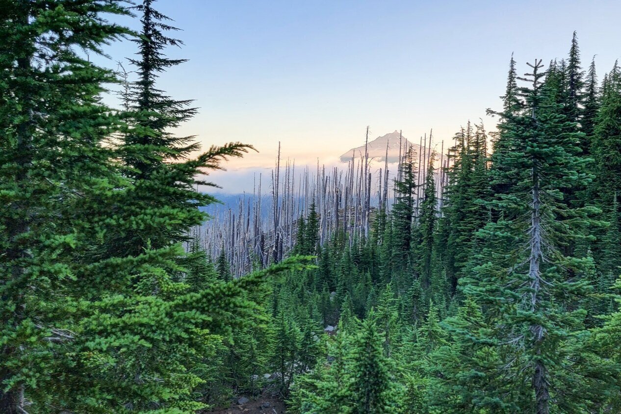
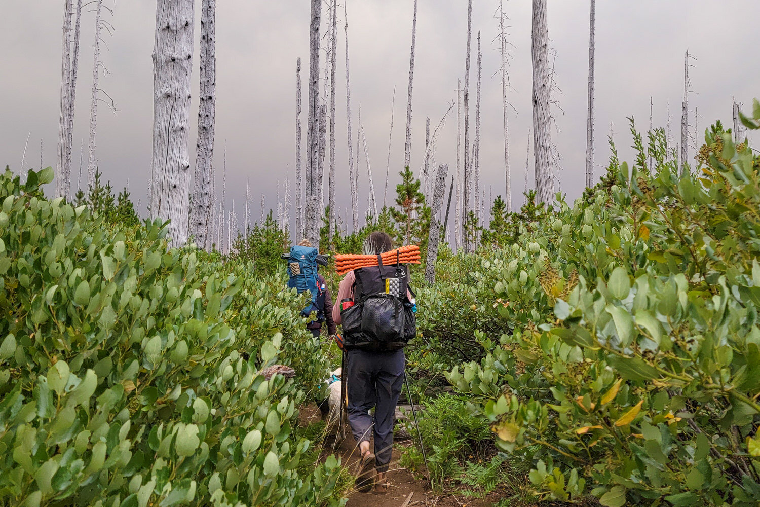
The lack of tree cover lends itself to intense exposure at times, but the stands of white ghost trees are eerie and strikingly beautiful in their own right. The openness due to the lack of brush also makes it possible to see distant views of Mount Washington, Mount Jefferson, and the Three Sisters for much of the way.

Quick Facts
- Distance: 20.9 to 23.7 miles
- Days Needed: 2 to 3
- Type: Loop
- Elevation Gain/Loss: 3,651 feet
- Best Travel Time: Late July through September
- Permits: Central Cascades Wilderness Overnight Permit
- Difficulty: Moderate
Highlights
- Easy terrain with gradual climbs/descents
- Closeup views of Three Fingered Jack
- Distant vistas of Mount Washington, Mount Jefferson, and the Three Sisters
- Wildflowers
- Glimmering, trout-filled lakes
- Abundant huckleberries in July and August
- Dog-friendly (on leash)
Lowlights
- Crowds
- Significant exposure – the sun and wind can be intense from lack of tree cover
- East side of the loop is brushy (manzanita)
- Substantial blowdowns
- Mosquitos in June and July
- No on-trail water sources on the PCT side (8.5 miles)

When Is the Best Time to Visit?
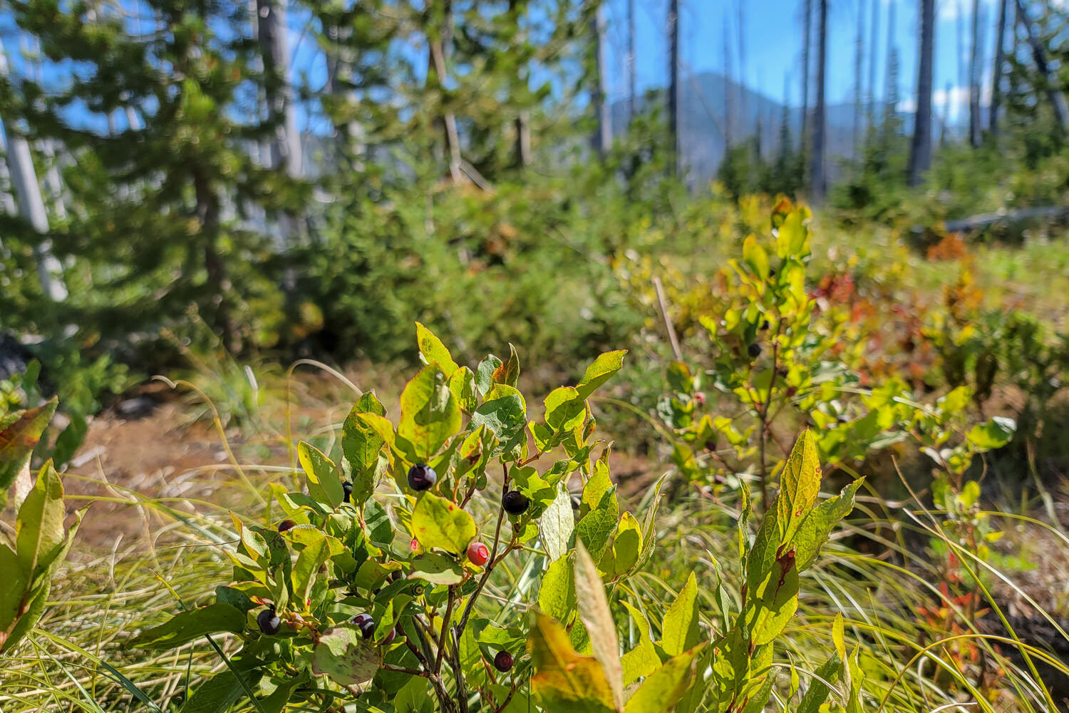
The Three Fingered Jack Loop is accessible from June through October. However, this is lake country, and bugs can be pretty heinous during the early part of the summer. Hike in early August and September to avoid the worst of the mosquitoes. You’ll also be able to graze on ripe huckleberries along the northwest part of the loop during these months.
That said, peak wildflower season is in July. If you decide to hike then, we recommend treating your clothes with permethrin and using picaridin on your skin to prevent bites. Learn more in our article on Mosquitos & Hiking: How to Protect Yourself.
How Difficult Is the Three Fingered Jack Loop?
This route is well graded and has few big climbs or descents. If you’re a strong hiker and you split the mileage up over two or three days, you can take it slow and have plenty of time to relax in camp.
Overall, we found this trail to be moderately easy. That said, the exposure from lack of tree cover presents a unique set of challenges. Start early to beat the heat if you can, and wear protective clothing or sunscreen, a hat, and sunglasses since you’ll be in direct sun most of the day. Besides the strong sun, steady evening winds are notorious on the east side of the trail. See our guides to the best down jackets, best backpacking tents, and best backpacking stoves that perform well in challenging conditions.
Do I Need a Permit?
The popularity of the Mount Jefferson, Mount Washington, and Three Sisters Wilderness areas has exploded recently. To help mitigate the impact of trail users, the Forest Service has implemented a permit system. You’ll need a Central Cascades Wilderness Overnight Permit to hike the Three Fingered Jack Loop between June 15 and October 15.
The easiest and fastest way to get permits is through Recreation.gov. Permits are available for reservation starting on the first Tuesday in April. Around 40% of available quota space each day, at each trailhead, becomes available. The remaining 60% is released seven days prior to the start of a trip.
Select PCT Santiam under available permits to find an available date. If your date isn’t available, keep checking back in. Some people cancel their reservations, and their permits will become available for re-booking.
How Do I Get There?
The most popular starting point for the Three Fingered Jack Loop is the Pacific Crest Trail – Santiam Pass Trailhead. It’s located in central Oregon near Camp Sherman. The closest full-service town is Sisters, Oregon.
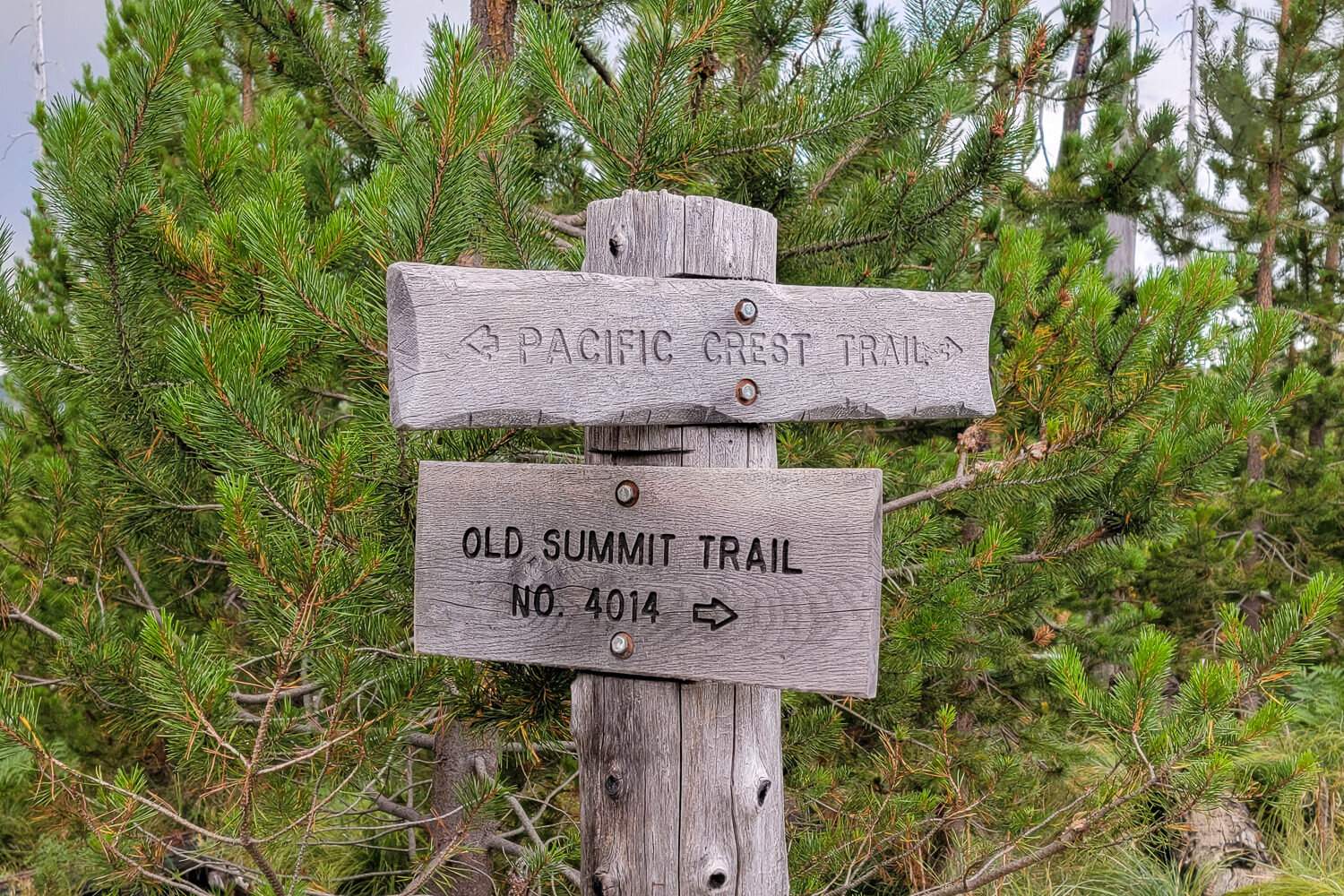
You can hike the loop in either direction. Starting at the south end near Highway 20, take the PCT #2000 to hike the dry but more scenic west side first, or turn right at Summit Trail #4041 to hike from lake to lake along the east side.
Alternatively, you can access the northeast part of the route via the Jack Lake Trailhead. The road to Jack Lake Trailhead is long and windy, so a high-clearance vehicle is recommended. However, we see sedans make it to this popular lot on weekends.
What Are the Best Maps & Guidebooks for the Area?
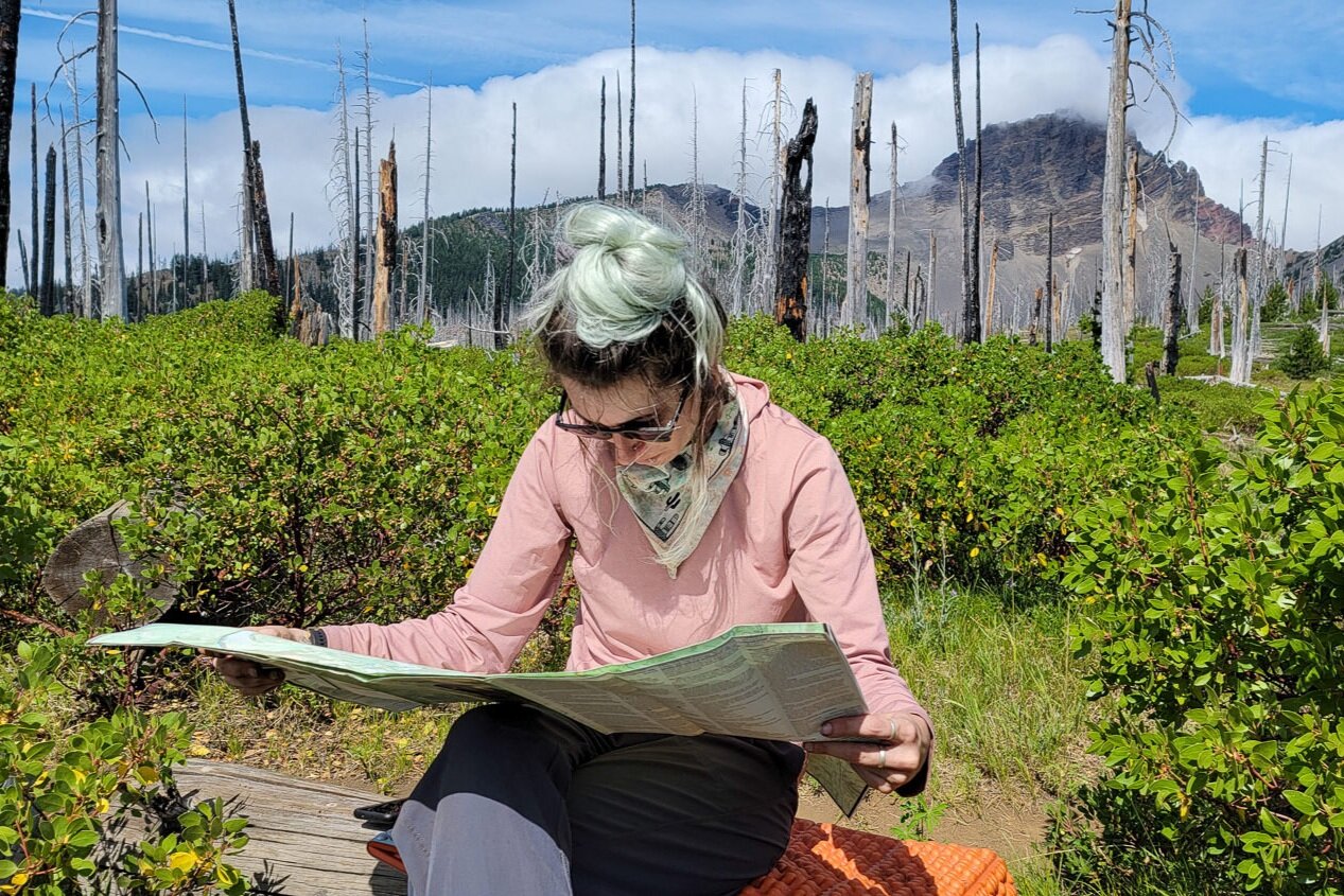
Carrying a paper map and compass on backcountry trips is always a good idea. The National Geographic Trails Illustrated Map #819 covers this hike, plus a lot more in the area. William Sullivan’s 100 Hikes: Central Oregon Cascades is another great resource for the area.
We also love using GPS phone apps, like Topo Maps+ (Apple only), Gaia GPS, and Avenza Maps, so we can easily plan around campsites and water sources, track our mileage, and record notes for future reference. Check out our article on How to Use Your Phone as a GPS Device for Backpacking for some tips if you’ve never used a navigation app before.
We downloaded the #819 Mount Jefferson and Mount Washington bundle on Avenza Maps for this hike. The east side map showed the area in plenty of detail for our purposes.
If you plan to do any climbing on Three Fingered Jack, you’ll want a more detailed climber’s map. A word of caution on scrambling on Three Fingered Jack: The rock quality is very poor. Slipping on loose rock can be dangerous or even fatal.
What Regulations & Restrictions Are in Place?
- The Mount Jefferson Wilderness is a special area that requires a Central Cascade Wilderness Permit for overnight use or a day use between June 15 and October 15. Outside this time frame, you’ll need to fill out a free, self-issued wilderness visitor use permit at the trailhead.
- As always, you should practice Leave No Trace techniques in wilderness areas, including properly disposing of human and pet waste and carrying out all trash.
- Fire danger is generally high during the hiking season in this area. Before you go, check the Forest Service fire page to verify wildfire conditions and burn bans. Campfires, alcohol stoves, and wood-fueled camp stoves are commonly prohibited. Backpacking stoves and lanterns using liquefied or bottled fuel are still allowed, as they can be instantly switched off.
- No groups over 12 people.
- No hitching or tethering pack animals within 200 feet of any permanent lake, stream, spring, pond, or shelter.
- No motorized equipment or mechanized equipment such as bicycles, wagons, carts, or wheelbarrows (except wheelchairs).
- No flying drones or unmanned aircraft systems.
- No discharging a firearm within 150 yards of a campsite or occupied area or across a body of water.
- No camping or being within areas posted as closed for rehabilitation.
- No cutting or damaging any live tree or vegetation unless authorized.
- No storing equipment, personal property, or supplies within the wilderness for more than 48 hours.
- No gathering a forest product – for example, mushrooms and berries – except for personal, on-site use.
- No commercial use and/or services within wilderness except by special use permit.
How Plentiful Is Water Along the Route?
There’s plenty of water on the east side of the Three Fingered Jack Loop (Old Summit Trail), but there are no reliable water sources on the PCT between Santiam Pass and Koko Lake (about 8.5 miles). Most people cover the dry stretch in one day so they don’t have to dry camp.
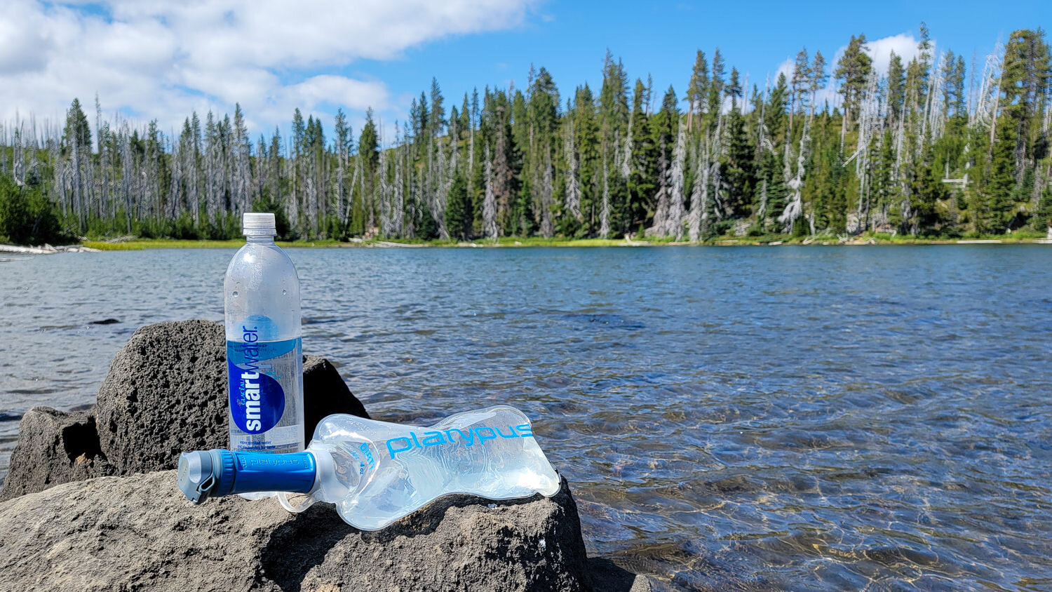
That said, there are some really beautiful campsites along the PCT. It could be well worth the effort if you’re willing to “camel up” and carry enough water for drinking and meals. Since most of the water sources along this route are lakes, make sure you have a reliable water filter.
Can I Bring My Dog?
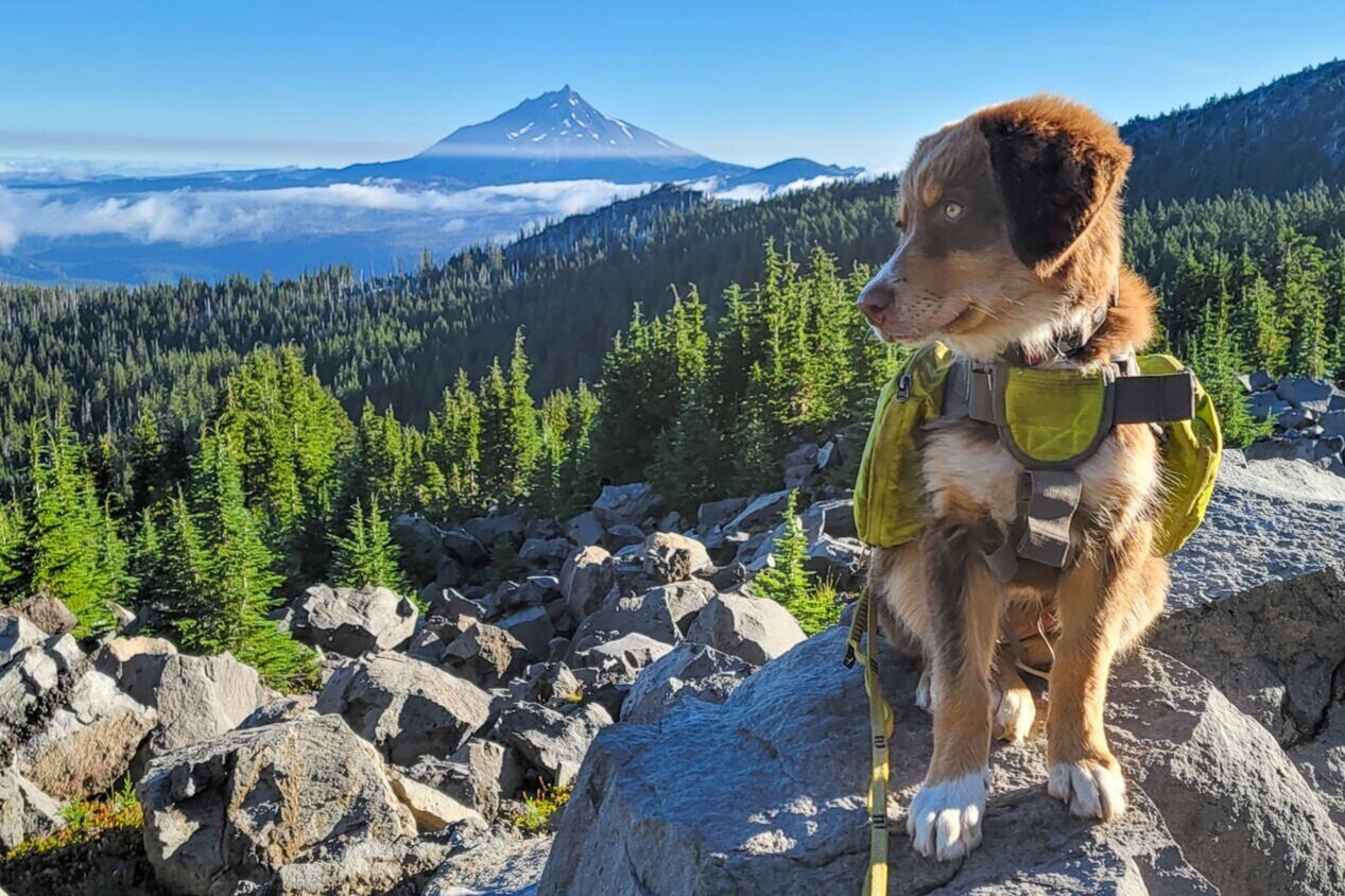
Dogs are allowed on the Three Fingered Jack Loop, but they have to be kept on a leash. There is quite a bit of blowdown on the northern section of the route, so it’s helpful if your dog knows some basic commands like “up,” “under,” and “wait” so you can navigate the fallen logs together.
Since this trail is very exposed, it’s also easy for dogs to overheat and burn their paw pads. Parts of the Three Fingered Jack Loop are volcanic and can act like a cheese grater on their pads. Hiking boots and/or Musher’s paw balm will keep their paws from burning or collecting blister-causing debris.
They also don’t sweat like we do, so take precautions to keep them cool. Offer water frequently, and let them rest in the shade when needed. If you can, start hiking early to avoid the heat. For more tips, check out our article: Best Tips for Hiking & Backpacking with a Dog.
How Should I Store My Food?
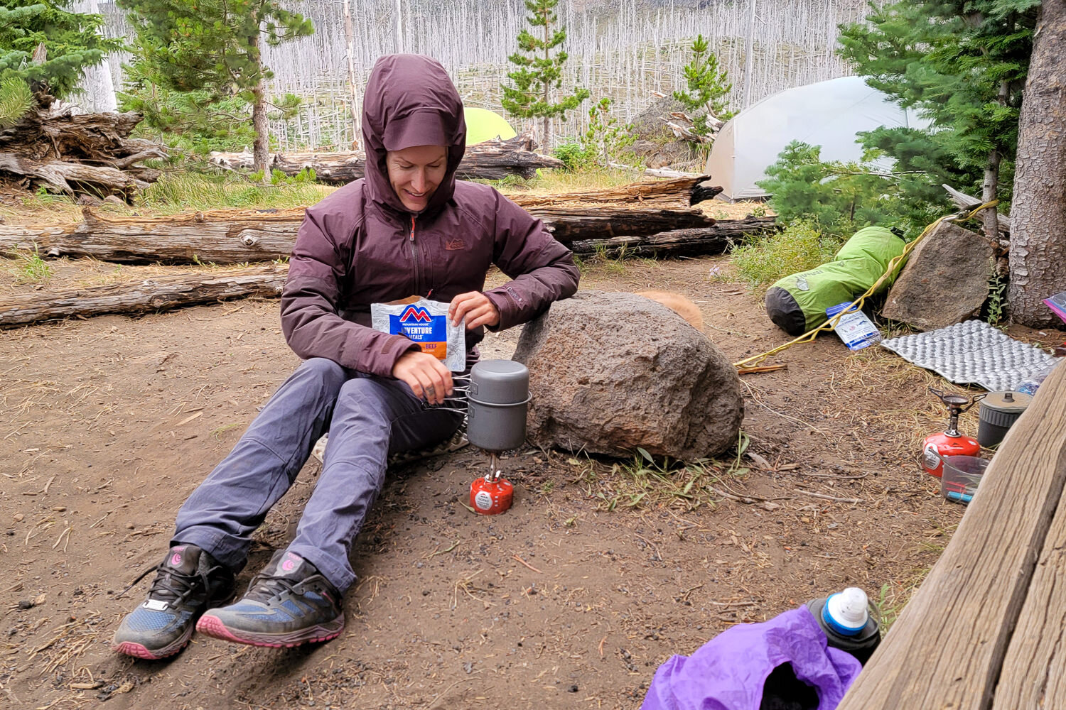
There’s no need to lug around a bulky bear canister – they’re not mandatory on this trail. That said, nobody wants to wake up to a midnight munchies raid on their trail mix. We used an Ursack to keep sneaky little critters from chowing down on our food stash. Check out our tutorial on Backpacking Food Storage for more tips on best practices.
What Gear Should I Pack?
Make sure to check out our Ultimate Backpacking Checklist, so you don’t forget something important.
Below you’ll find our current favorite backpacking gear. If you want to see additional options, our curated gear guides are the result of many years of extensive research and hands-on testing by our team of outdoor experts.
BACKPACK
- Best Backpacking Pack Overall: Gregory Paragon 58 – Men’s / Gregory Maven 58 – Women’s
- Best Ultralight Backpacking Backpack: Hyperlite Mountain Gear Unbound 40
- More: Check out our best backpacking backpacks guide for ultralight and trekking options
TENT
- Best Backpacking Tent Overall: Big Agnes Copper Spur HV UL2
- Best Ultralight Tent: Zpacks Duplex
- Best Budget Tent: REI Half Dome 2
- Best Tent Stakes Overall: All One Tech Aluminum Stakes
- More: Check out our best backpacking tents guide for more options
SLEEPING BAG/QUILT
- Best Sleeping Bag Overall: Men’s Feathered Friends Swallow YF 20 / Women’s Feathered Friends Egret YF 20
- Best Quilt Overall: Enlightened Equipment Revelation 20
- More: Check out our best backpacking sleeping bags guide and best backpacking quilts guide for more options
SLEEPING PAD
- Best Sleeping Pad Overall: NEMO Tensor All-Season
- Best Foam Sleeping Pad: NEMO Switchback
- More: Check out our best backpacking sleeping pads guide for ultralight and trekking options
CAMP KITCHEN
- Best Backpacking Stove Overall: MSR PocketRocket 2
- Best Backpacking Cookware Overall: TOAKS Titanium 750ml
- Best Backpacking Coffee Overall: Starbucks VIA
- More: Check out our best backpacking stoves guide and best backpacking cookware guide for ultralight and large group options
WATER & FILTRATION
- Best Water Filter Overall: Sawyer Squeeze
- Best Hydration Bladder Overall: Gregory 3D Hydro
- Best Backpacking Water Bottles: Smartwater Bottles
- More: Check out our best backpacking water filters guide and best backpacking water bottles guide for ultralight and large group options
CLOTHING
- Best Hiking Pants Overall: Men’s Outdoor Research Ferrosi / Women’s The North Face Aphrodite 2.0
- Best Hiking Shorts Overall: Men’s Patagonia Quandary / Women’s Outdoor Research Ferrosi
- Best Women’s Hiking Leggings: Fjallraven Abisko Trekking Tights HD
- Best Rain Jacket Overall: Men’s Patagonia Torrentshell 3L / Women’s Patagonia Torrentshell 3L
- Best Rain Pants: Men’s Patagonia Torrentshell 3L / Women’s Patagonia Torrentshell 3L
- Best Down Jacket Overall: Men’s Patagonia Down Sweater Hoodie / Women’s Patagonia Down Sweater Hoodie
- Best Fleece Jacket Overall: Men’s Patagonia Better Sweater / Women’s Patagonia Better Sweater
- Best Sunshirt Overall: Men’s Outdoor Research Echo / Women’s Outdoor Research Echo
- Best Socks Overall: Men’s Darn Tough Light Hiker Micro Crew / Women’s Darn Tough Light Hiker Micro Crew
- Beste Ultralight Liner Glove: Patagonia Capilene Midweight Liner
- More: Check out our best backpacking apparel lists for more options
FOOTWEAR & TRACTION
- Best Hiking Shoes Overall: Men’s HOKA Speedgoat 6 / Women’s HOKA Speedgoat 6
- Best Hiking Boots Overall: Men’s Salomon X Ultra 5 GTX / Women’s Lowa Renegade Evo GTX
- Best Hiking Sandals Overall: Men’s Chaco Z/1 Classic / Women’s Chaco Z/1 Classic
- Best Camp Shoes Overall: Crocs Classic Clogs
- Best Traction Device for Hiking Overall: Kahtoola MICROspikes
- More: Check out our best backpacking footwear lists for more options
NAVIGATION
- Best GPS Watch Overall: Garmin Instinct 2 Solar
- Best Personal Locator Beacon (PLB): Garmin inReach Mini 2
- More: Check out our article How to Use Your Phone as a GPS Device for Backpacking & Hiking to learn more
FOOD
FIRST-AID & TOOLS
- Best First-Aid Kit Overall: Adventure Medical Kits Ultralight/Watertight .7
- Best Pocket Knife Overall: Kershaw Leek
- Best Multitool Overall: Leatherman Wave+
- Best Headlamp Overall: Black Diamond Spot 400-R
- Best Power Bank Overall: Nitecore NB 10000 Gen 3
- More: Check out our best first-aid kit guide, best pocket knife guide, best multitool guide, best backpacking headlamps guide, and best power banks guide for more options
MISCELLANEOUS
- Best Trekking Poles Overall: Black Diamond Pursuit
- Best Backpacking Chair Overall: REI Flexlite Air
- Best Backpacking Stuff Sack Overall: Hyperlite Mountain Gear Drawstring
- More: Check out our best trekking poles guide, best backpacking chairs guide, and best stuff sacks guide for more options
More Three Fingered Jack Loop Photos
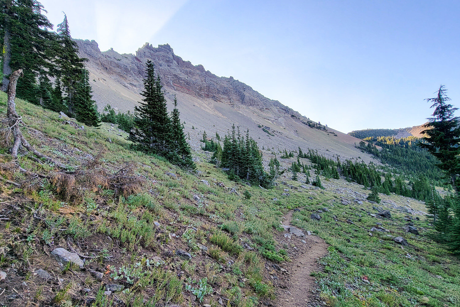
Sunbeams rising behind three fingered jack, viewed from the PCT. – photo credit: heather eldridge (cleverhiker.com)
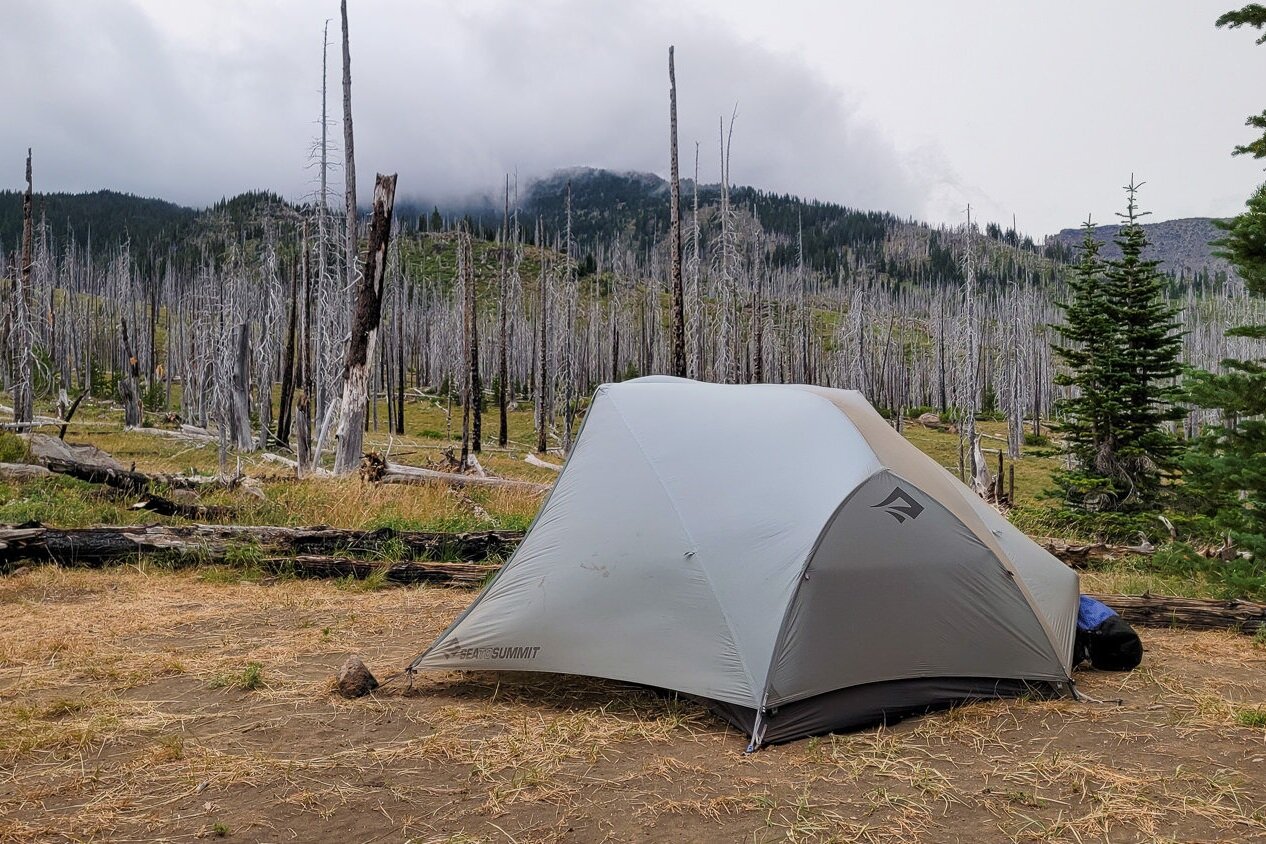
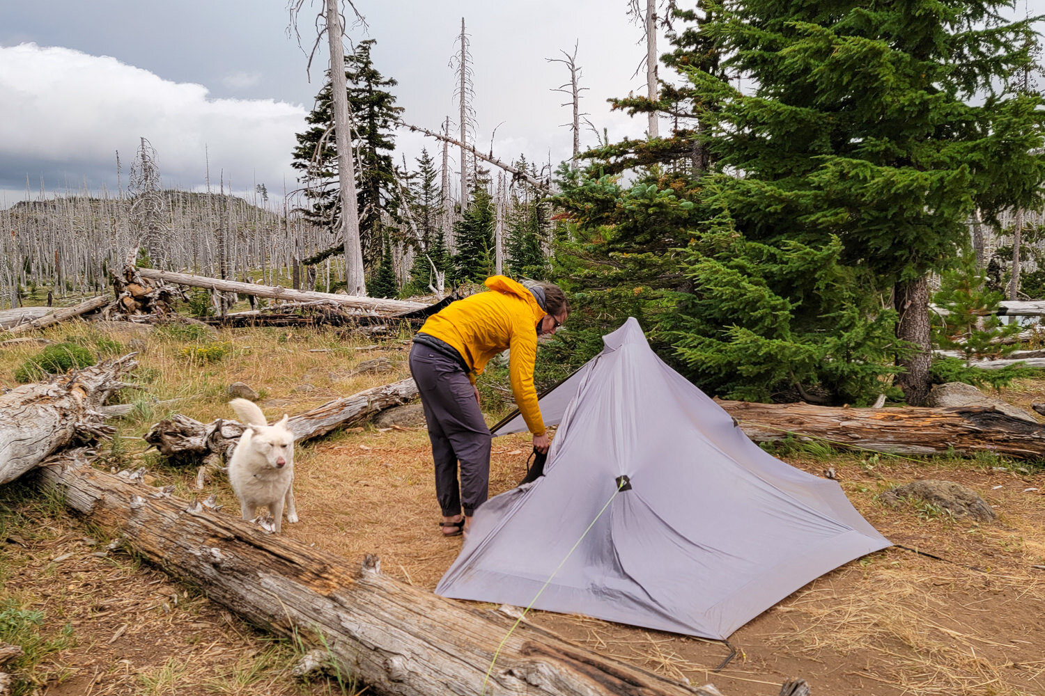
The Sea to Summit Telos TR2 held up well in high winds and felt spacious for a single hiker with a dog and gear. – photo credit: heather eldridge (cleverhiker.com)
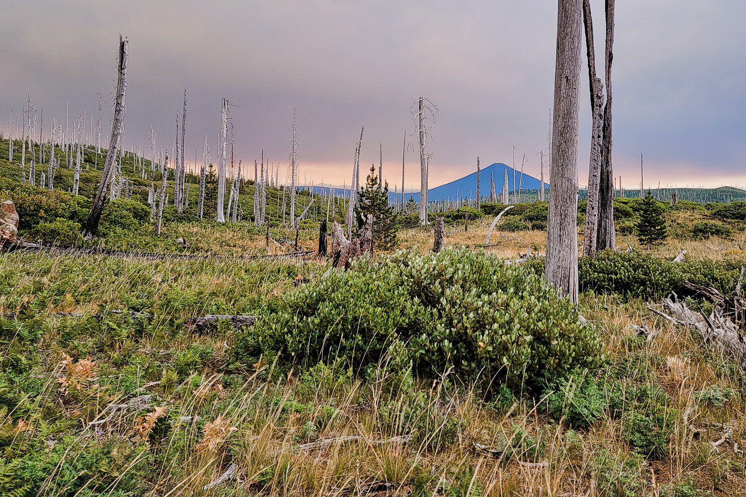
The conical black butte toward the east. – photo credit: heather eldridge (cleverhiker.com)

The views are great right from the parking lot with hoodoo and hayrick just on the other side of santiam pass. – photo credit: heather eldridge (cleverhiker.com)
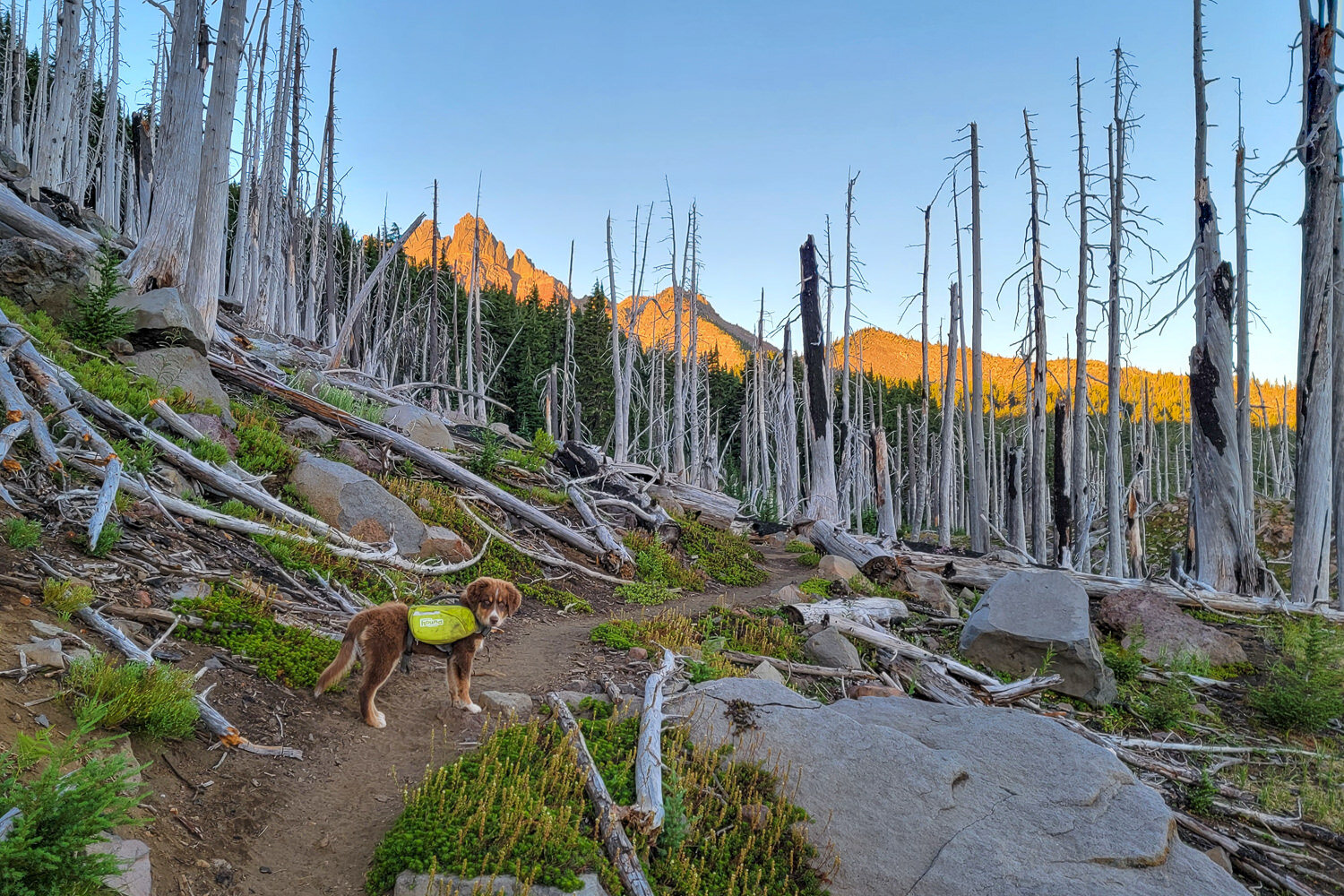
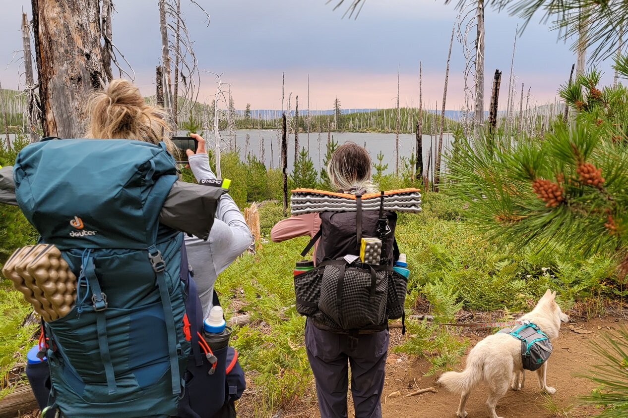
Our pup making his way through a burn area. – photo credit: heather eldridge (cleverhiker.com)
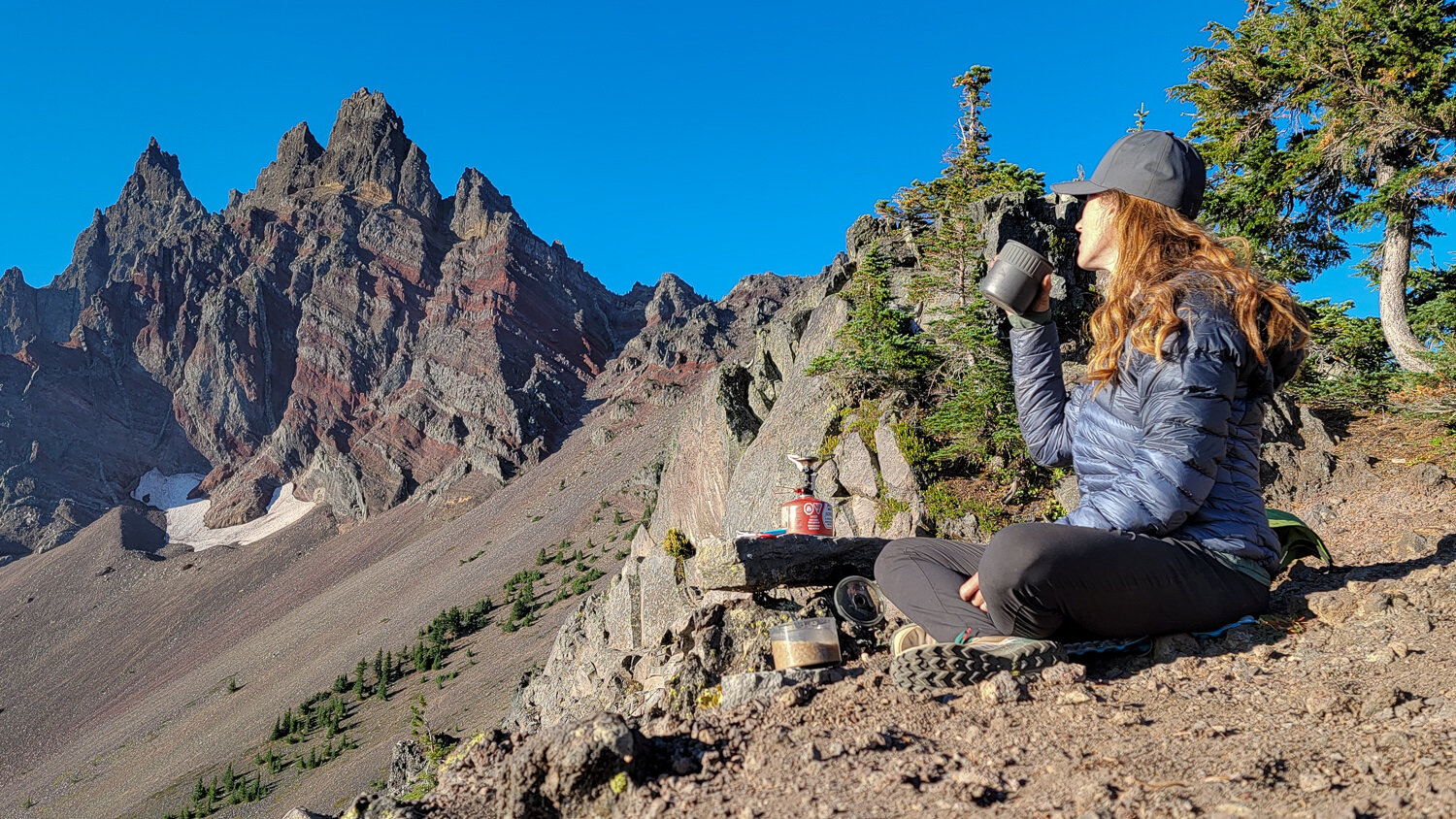
A Coffe break-worthy view. – photo credit: heather eldridge (cleverhiker.com)

Timber takes in the view of Mount washington and the three sisters. – photo credit: heather eldridge (cleverhiker.com)