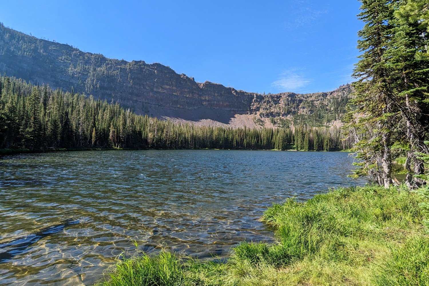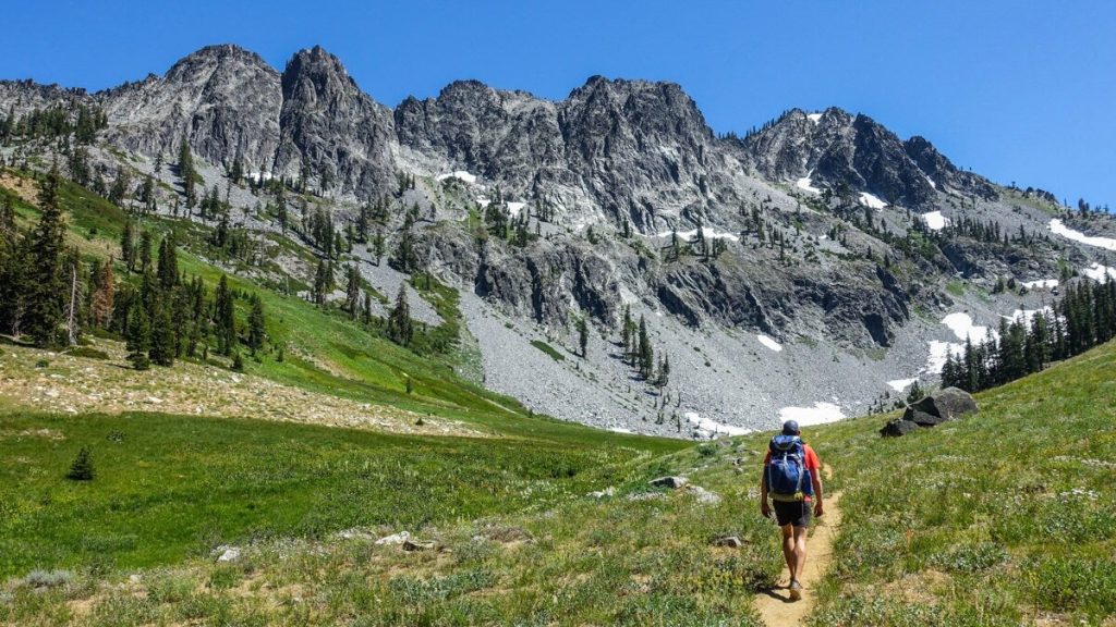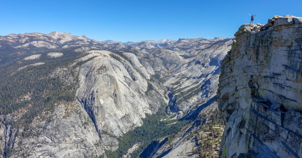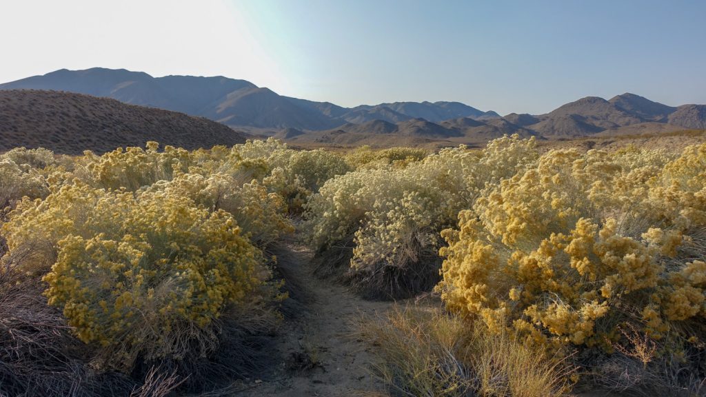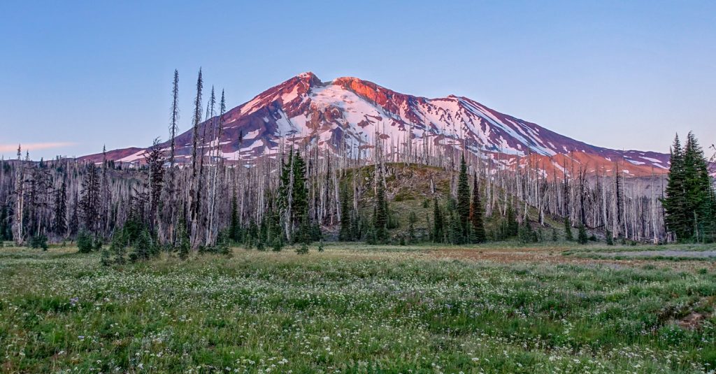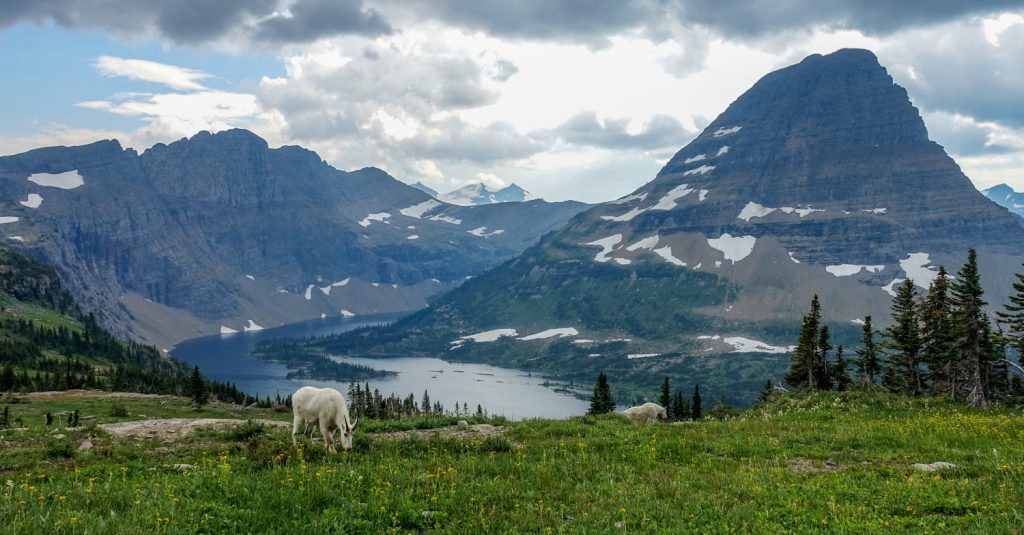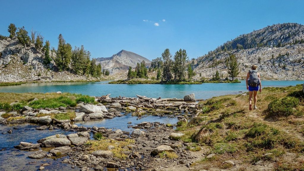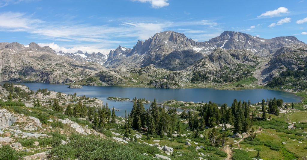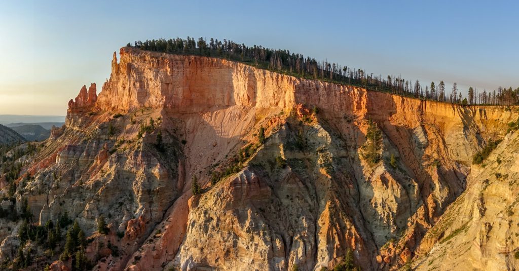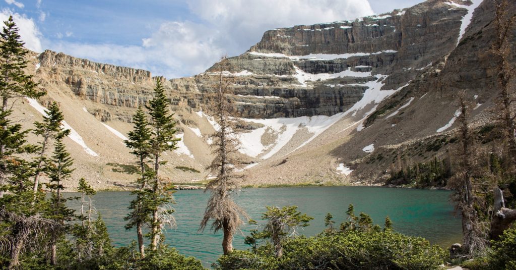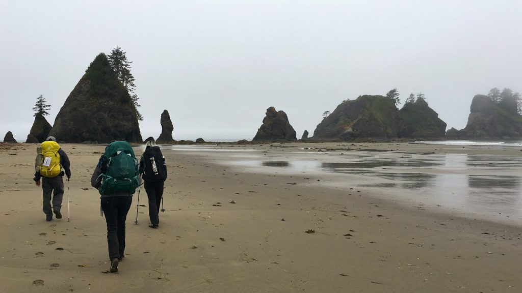

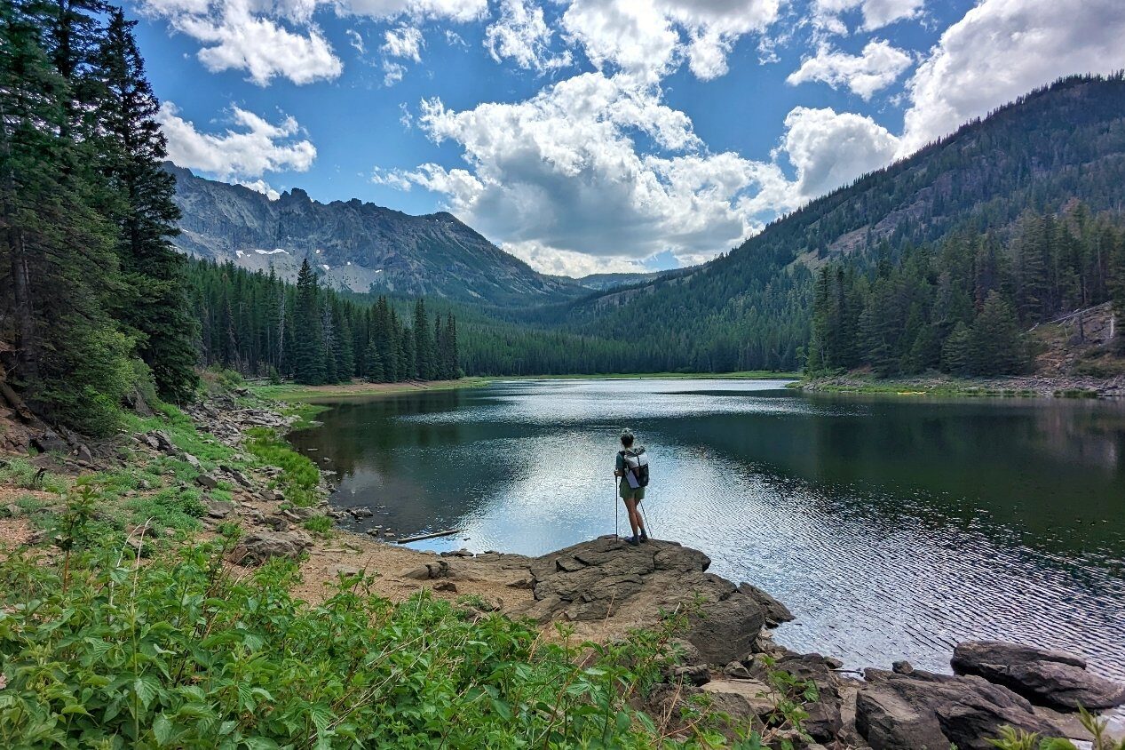
The Strawberry Mountain Wilderness Loop is one of our favorite hikes in Oregon. Out in this eastern Oregon paradise, you’ll encounter crystal clear lakes, vibrant fields of wildflowers, ample opportunities to view wildlife, and sweeping views of the Blue Mountain Range. The Strawberries are a little off the beaten path, but we think that makes this trip even more worthwhile. It is a perfect long weekend itinerary.
Quick Facts
- Distance: ~20 miles, varies depending on side trails
- Days Needed: 2 to 3 days
- Type: Loop
- Elevation Gain: ~5,200 feet, including a side trip to summit Strawberry Mountain
- Best Travel Time: July through October
- Permits: Northwest Forest Pass or America the Beautiful Interagency Pass required for trailhead parking in the Malheur National Forest
- Difficulty: Challenging
Highlights
- High-elevation lakes with tons of fish
- Sweeping views of the Blue Mountains
- Abundant wildlife (mountain goats, deer, birds, butterflies, etc.)
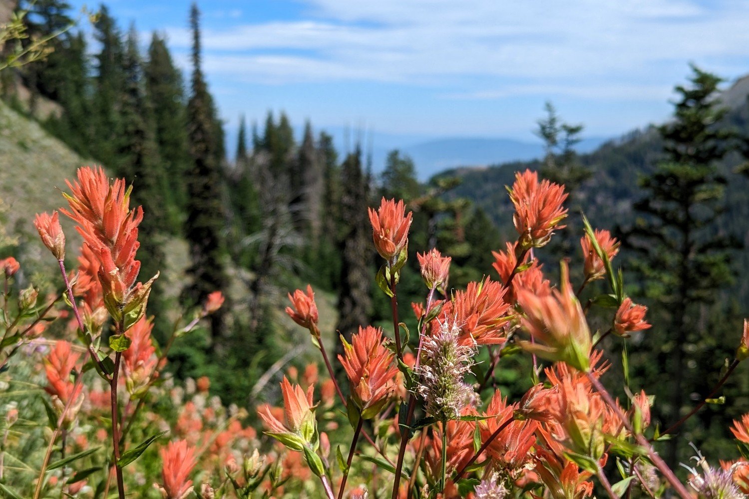
- Tons of wildflowers (usually July through August)
- Waterfalls
- Relative solitude
- Summiting the highest mountain in the Malheur National Forest
- Well-maintained trail
Lowlights
- Lots of sun exposure
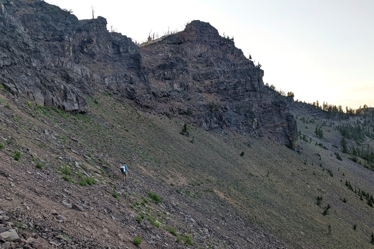
- Some fall risk on narrow trails through scree fields
- Mosquitoes in the spring/summer, especially near lakes
- Road to the trailhead is a bit sketchy
When Is the Best Time to Visit?
The best time to visit the Strawberry Mountain Wilderness is in the summer. However, depending on when winter weather brings snow, you may be able to access the area in early fall.
We hiked the trail in late July, which we thought was perfect timing. There weren’t many mosquitoes (except in the evenings near lakes), wildflowers were abundant, and the temperatures weren’t too hot during the day nor too cold at night.
How Difficult Is the Strawberry Mountain Loop?
As always, difficulty largely depends on factors like your experience, physical fitness, pack weight, and weather conditions. We would categorize this hike as challenging due to the considerable amount of elevation gain, sections of narrow trail through steep/loose scree slopes, and some tricky navigation.
We fully believe that the heavier your backpack, the harder your hike will be. See our gear recommendations and tips to set yourself up for a great hike.
Do I Need a Permit?
No permits are needed to hike the Strawberry Mountain Wilderness Loop. However, make sure you have a Northwest Forest Pass or an America the Beautiful Pass to park at the trailhead. Both can be purchased ahead of time and get you access to lots of other wilderness areas.
How Do I Get There?
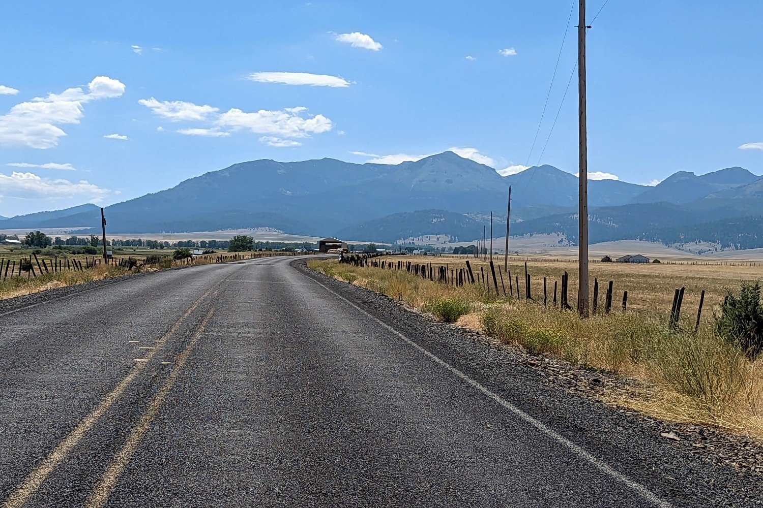
The Strawberry Mountain Wilderness Loop is a bit off the beaten path and a fairly long drive from any major population center. The drive is beautiful, though, and will take you through the John Day Fossil Beds National Monument if you’re coming from the west.
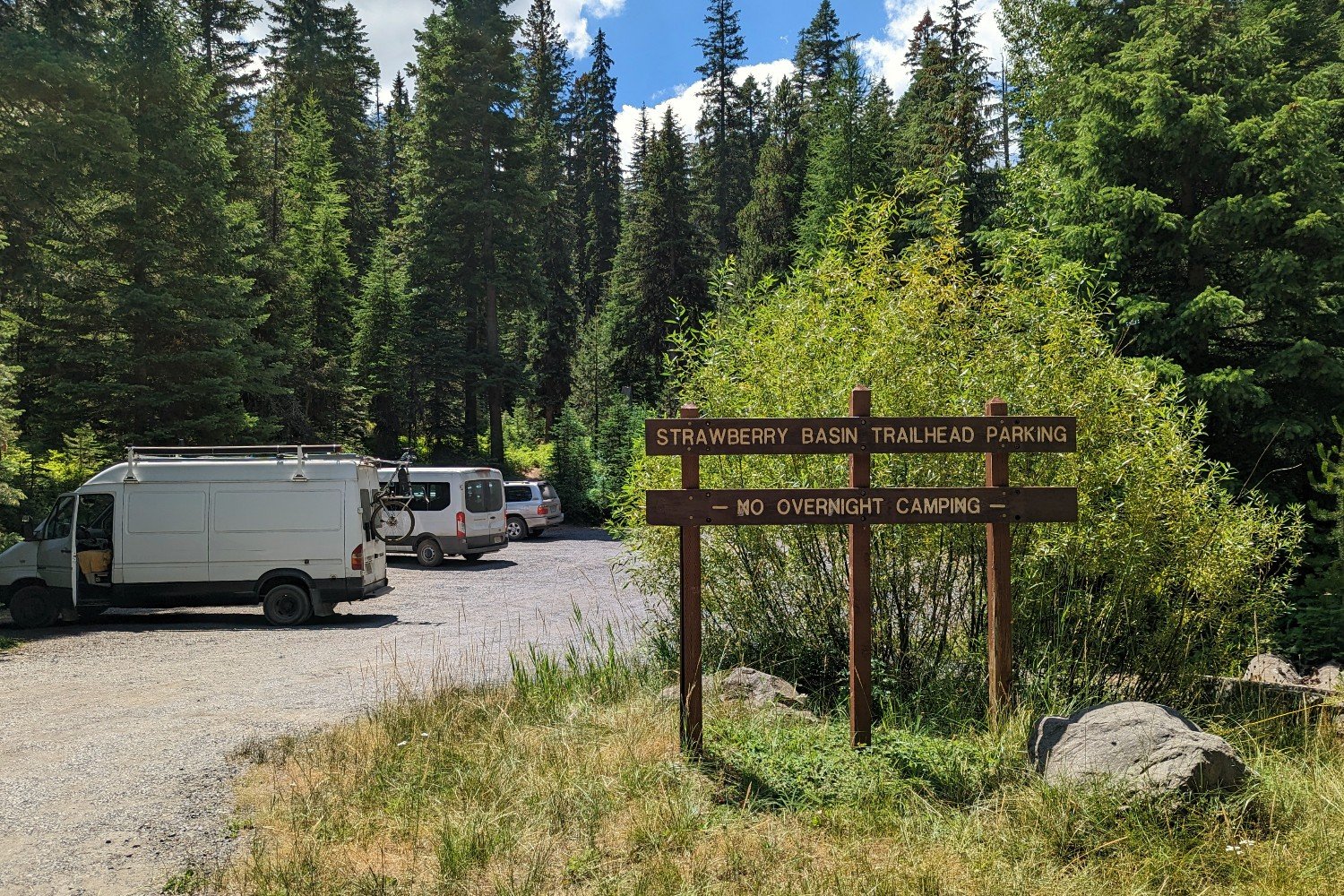
These directions are for getting to the Strawberry Basin Trailhead, but you could also start from the Roads End Trailhead or High Lake Trailhead. (Both are on FR-1640, and navigating to High Lake, Oregon, will get you to either trailhead.)
The road up to Strawberry Basin was rutted, narrow, and steep in sections, but we could make it up and down (very slowly) in our older 2WD dually Sprinter van. Several small sedans were also up there, so most vehicles would be OK going up this road slowly with careful maneuvering. We do not recommend pulling trailers past the Horse Camp on NF-6001.
- From Portland – You’ll have just over five and a half hours of very worthwhile hours to travel. There are a couple different route options. Although both are beautiful, we think the route that goes through Prineville is the most scenic and only adds about 15 minutes to the drive time. You’ll take Highway 26 all the way east to Prairie City, and then turn right on Bridge Street, which becomes Strawberry Road, and then NF-6001. This road ends at the Strawberry Basin Trailhead.
- From Bend – Coming from central Oregon’s most populous city, you’ll travel for just over three and a half hours. Head northeast through Prineville, then stay on Highway 26 to Prairie City. Turn right onto Bridge Street, and follow it to the end to reach the trailhead.
- From Boise – Boise hikers will have less than three and a half hours to drive to the Strawberries. Take I-84 north to Highway 26 west. When you get to Prairie City, take a left on Bridge Street, and follow that road to its southern end at the trailhead.
What Are the Best Maps & Guidebooks for the Area?
We recommend downloading the Gaia GPS app on your phone. It allows you to see your real-time location on the map, which saved us a couple times on the less-traveled southeastern side of the loop.
If you have an iPhone, Topo Maps+ is another great navigation tool that gives you access to many maps and powerful route-tracking features. Check out our guide on How to Use Your Phone as GPS Device to get the most out of your smart device.
You can also print, download, or buy maps through the following links:
What Regulations & Restrictions Are in Place?
It’s always important to practice Leave No Trace principles when you go into nature to protect yourself and others, wildlife, and the environment.
Before you head out, be sure to check the Malheur National Forest website for current road, trail, and weather conditions. Also verify the fire restrictions in the area. If you plan to have a campfire when it’s allowed, make sure to use a dedicated fire ring and have plenty of water on hand to fully extinguish it when you’re done. We’ve got more helpful tips in our Campfire Safety Guide.
Dogs are allowed on this hike, but we recommend leaving your pup home. The trail is frequently narrow, covered in loose rock/scree, and often has steep drop-offs to one side. Wildlife is also abundant, so if you plan to bring your dog, keep it on a leash to minimize risk to the forest inhabitants and your pooch. Get more advice from our article: Best Tips for Hiking & Backpacking With a Dog.

How Accessible Is Water Along the Route?
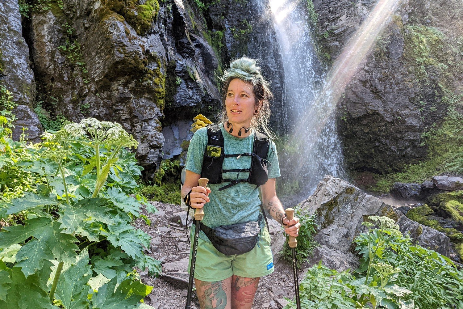
Water is easy to access from springs and lakes for the first 6 miles of this trail (going counterclockwise from Strawberry Basin Trailhead). The driest stretch is from about a half mile before the Strawberry Mountain Summit Trail to High Lake (about 7 miles including the summit). Be sure to stock up before you head up this sun-exposed section. We recommend carrying no less than 2 liters for this part of the hike.
After High Lake, you’ll trek a somewhat strenuous 3 miles before you have access to water again via a short side trail to Slide Lake. It’s also a good idea to carry extra through this steep and exposed section.
Slide Lake is your last major water source before you hike the last 3.5 miles back to the trailhead where you started. This stretch of trail is also pretty exposed and hot. Therefore, it may be slower-going than your usual pace due to extremely narrow and loose scree traverses.
We mostly drank from the abundant springs flowing directly out of the mountains on this trail, so we weren’t overly concerned about unsafe water. If you prefer a filter, check out our top picks in our guide to the best backpacking water filters.
How Should I Store My Food?
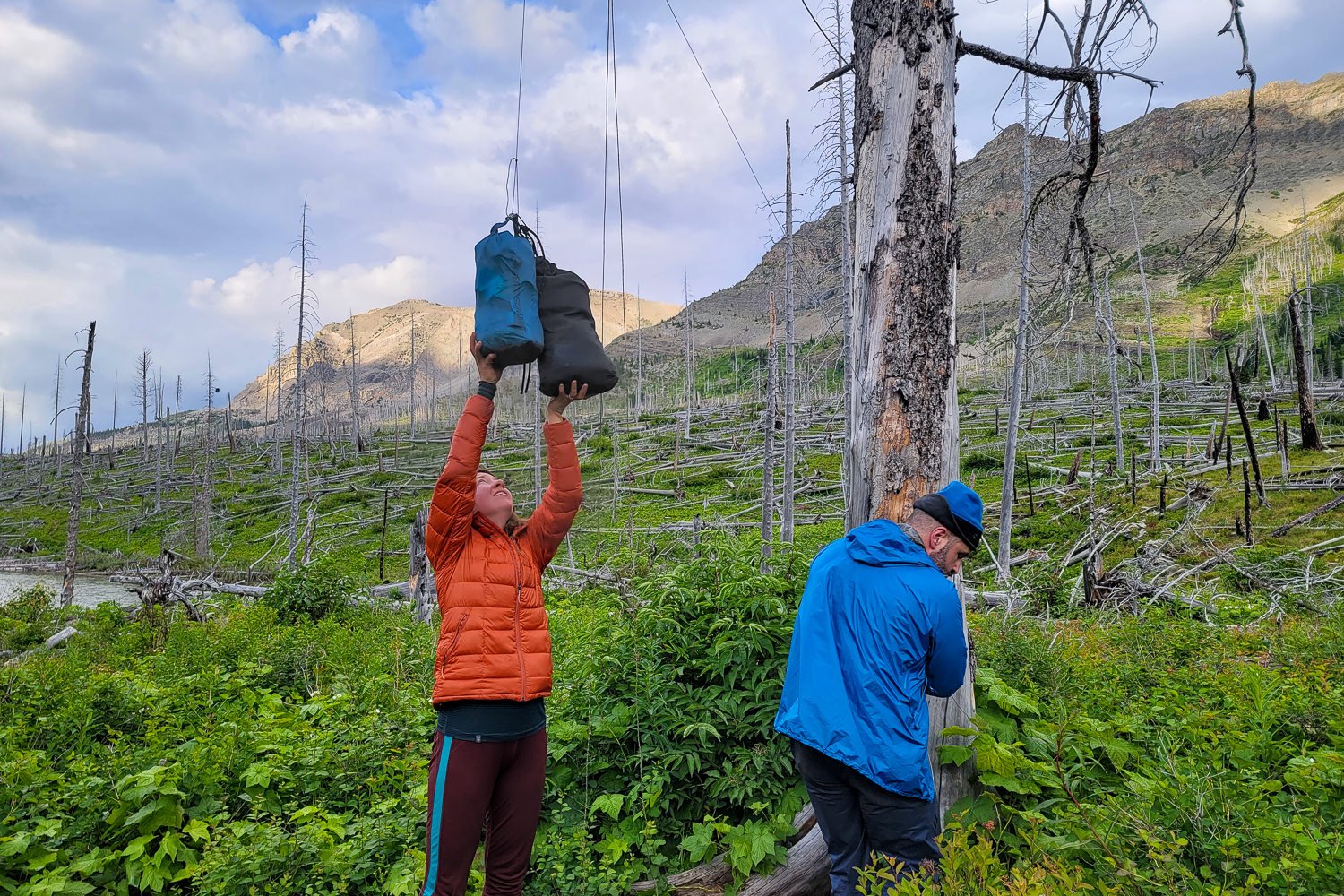
Bear canisters aren’t required on this trail. However, wildlife is abundant in this wilderness, and storing your food properly is always a good idea. We used Ursacks to keep critters from getting into our goods at night.
Detailed Route Information
There isn’t a ton of information available for this loop, so we put together this little description of directions to help you navigate:
From the Strawberry Basin Trailhead parking area, the trail starts behind the pit toilet and follows well-maintained switchbacks up to Strawberry Lake. On the way up, you’ll encounter intersections with the Slide Lake Trail. Keep right at these junctions to start the loop counterclockwise.
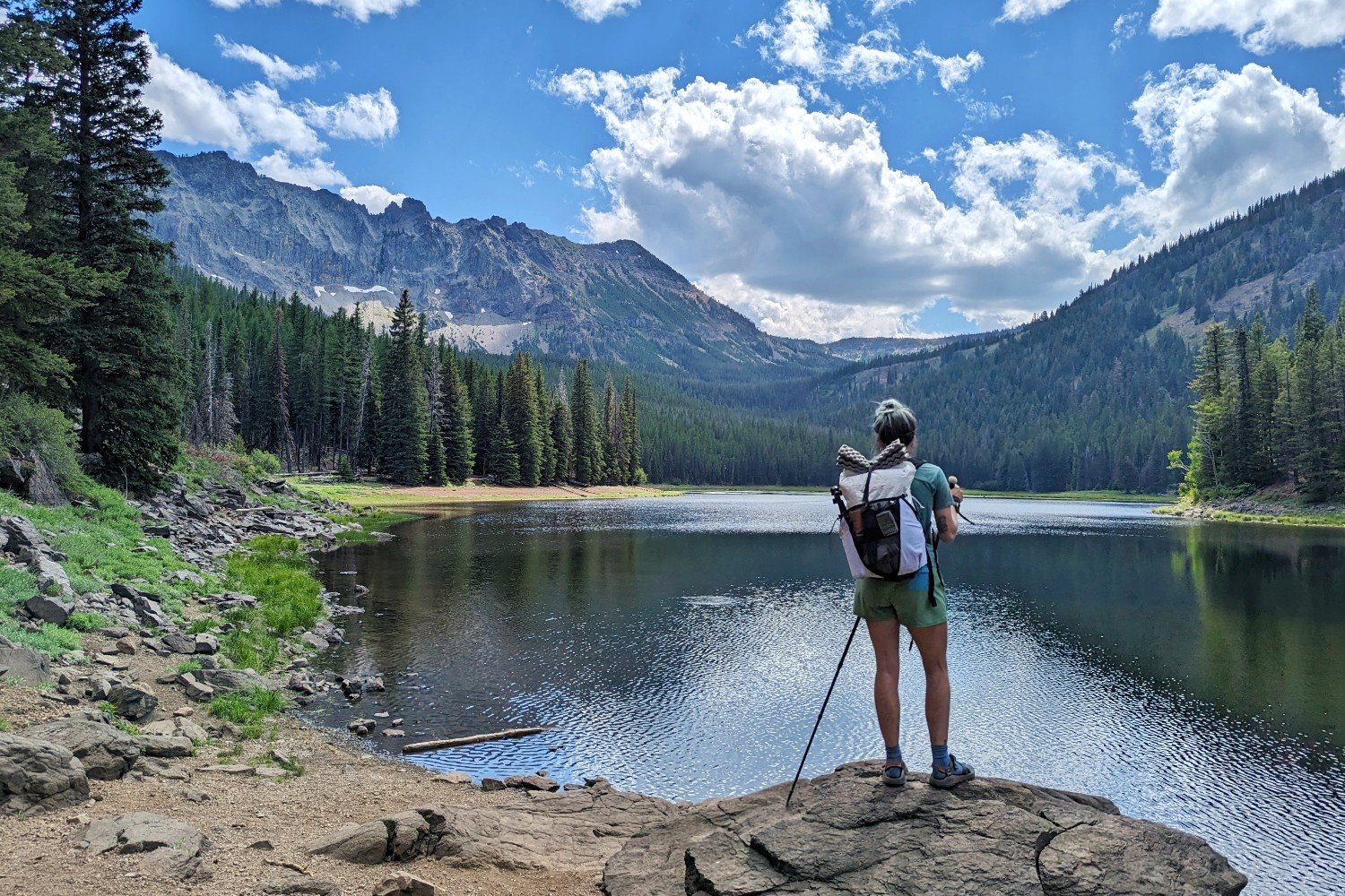
After taking in the sights at the lake, you can go either direction at the fork in the trail you came in on to get around the lake. Turning right to go along the west side of the lake is a 0.8-mile trek. Going left to hug the east bank is 0.4 miles. There are a ton of campsites in the area, but this lake is only a mile from the trailhead, so you’ll likely encounter other campers, fishers, and paddle boarders/kayakers here, especially on the weekend.
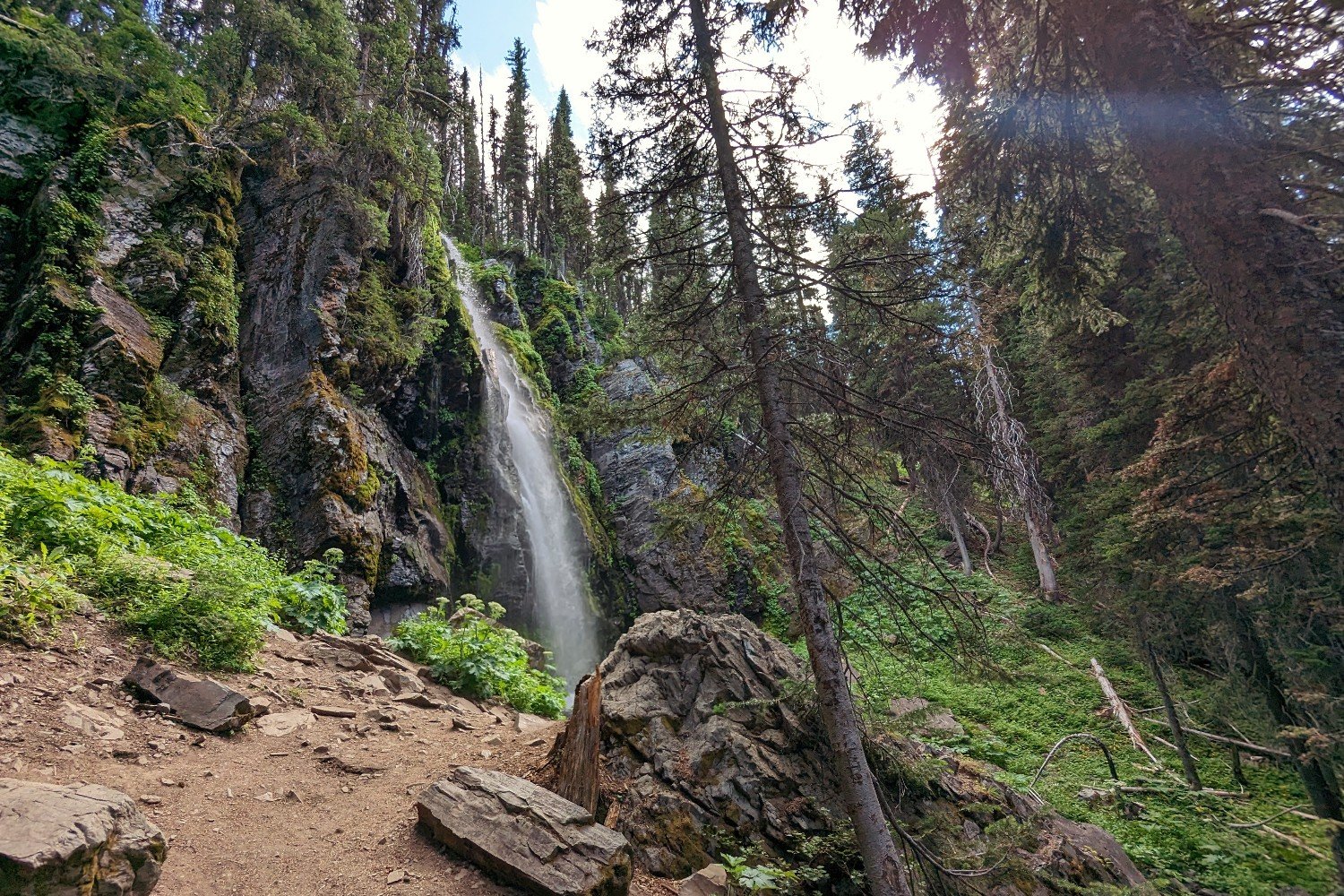
If you took the west bank trail, turn right when you come to a junction on the south end of the lake to rejoin the Strawberry Basin Trail. If you went on the east side, continue at the junction on the southern end. Continue up the gentle slope to the stunning Strawberry Falls. This is a great spot to fill up on water and have a snack before continuing up into a more sun-exposed trail.
Shortly after the waterfall, you’ll come to a junction with the Little Strawberry Lake Trail on your left. We highly recommend taking this short diversion to see the beautiful lake surrounded by high cliffs. We saw our first six mountain goats on the trail on the rocky faces above this lake. There are also many good camping opportunities here, but mosquitoes can get pretty bad in the summer.
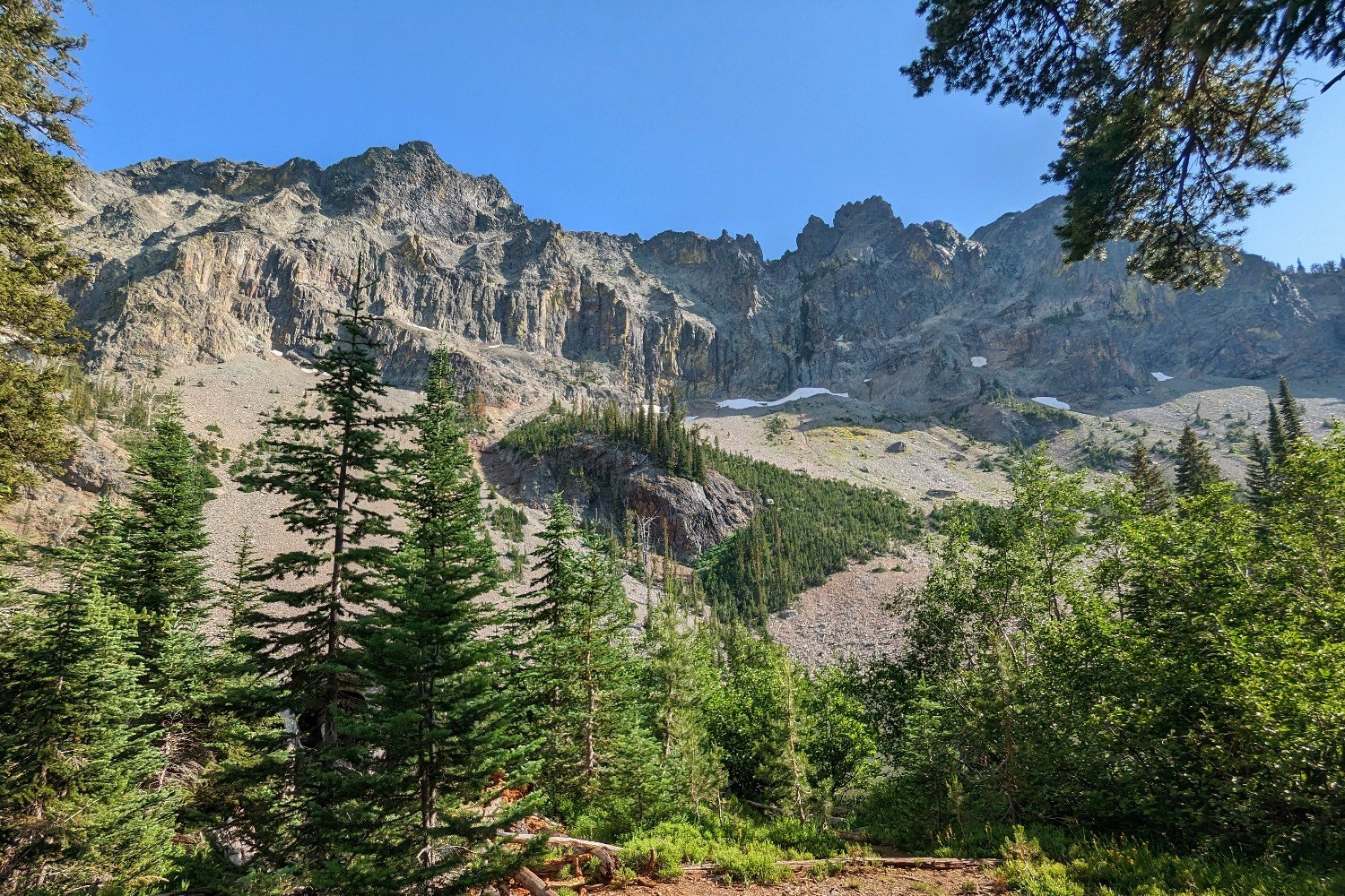
If you took the side trip to the lake, go out the same way you came in and turn left to continue down the trail. If you didn’t take the side trail, continue forward. From here, you’ll gradually ascend a little over 1,000 feet over the next 3 miles. You’ll pass several springs and some good camping opportunities.
We decided to camp at the last spring near the remains of a wooden cabin so we would be fresh for the rest of the climb to the top of the highest peak in the Malheur National Forest: Strawberry Mountain. There will likely not be any water for about 7 miles after this, so stock up here.
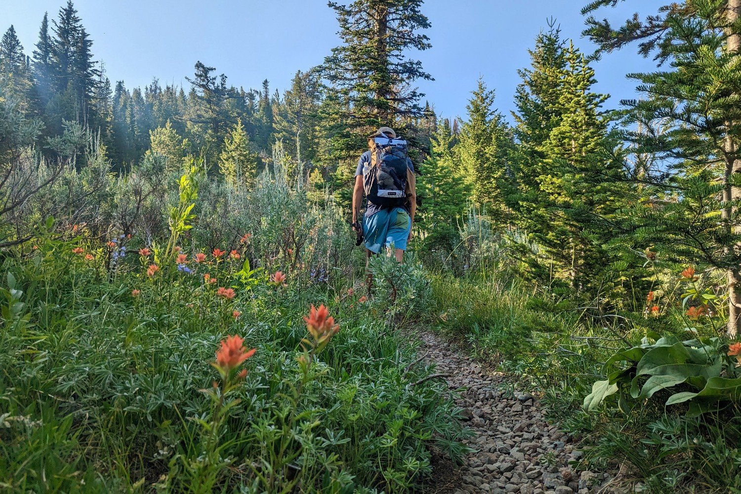
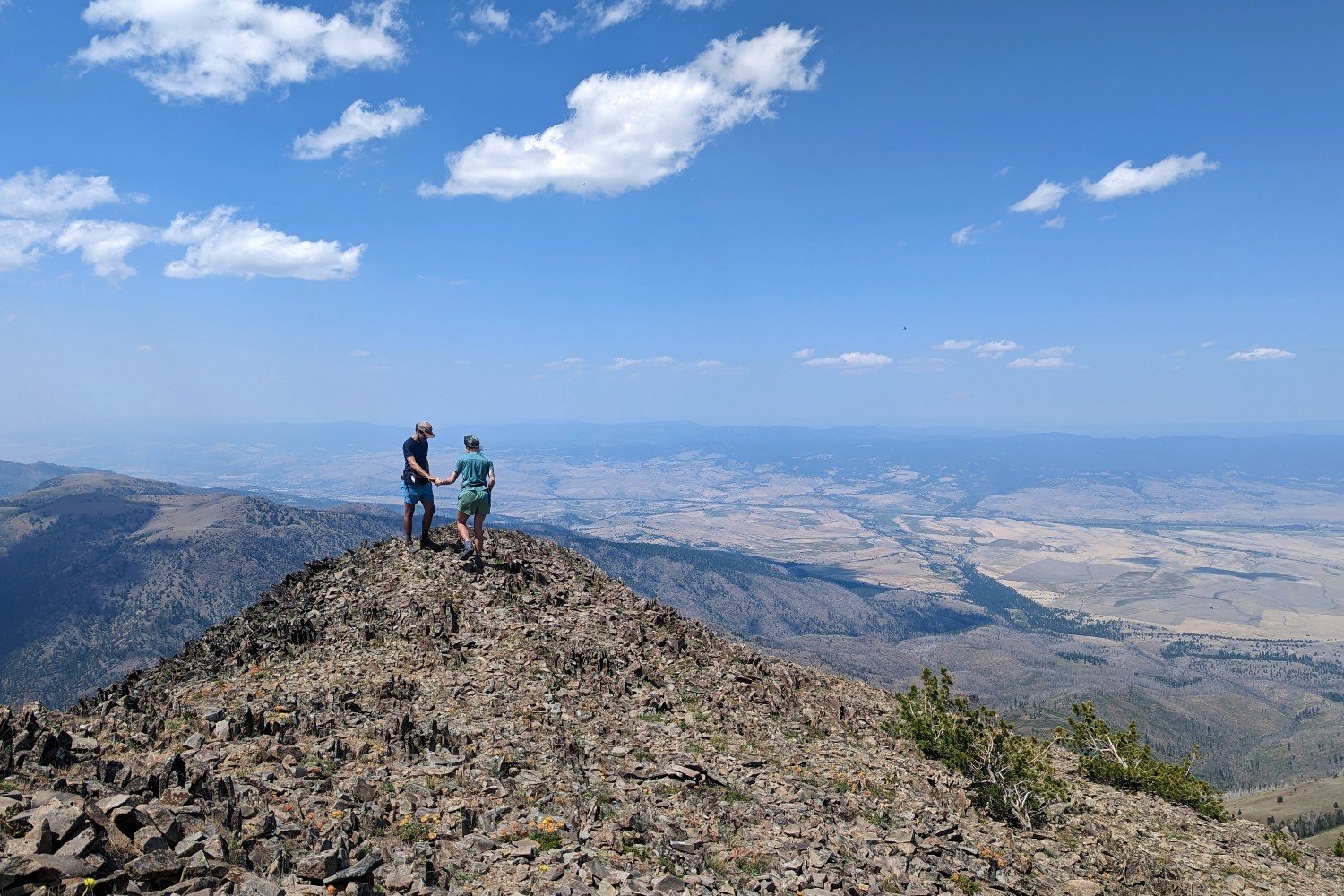
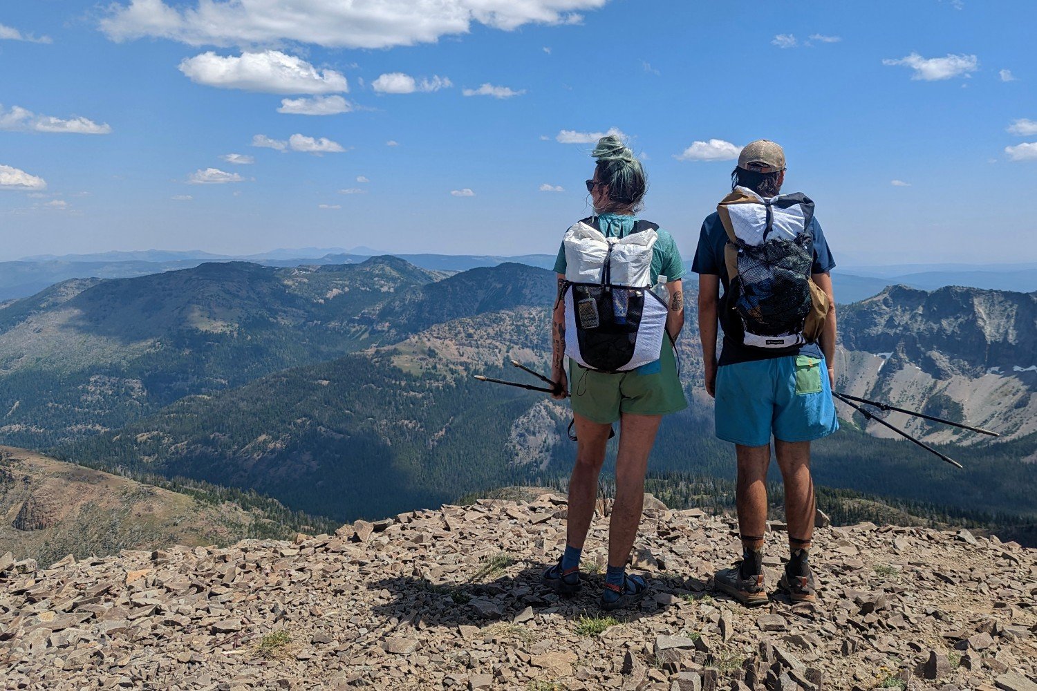
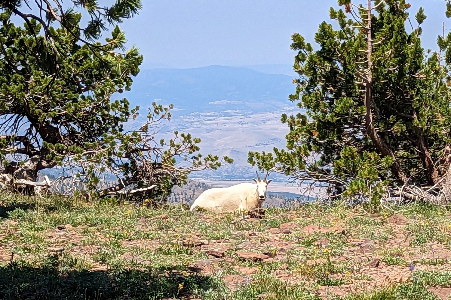
Continuing up the Strawberry Basin Trail, you’ll come to a signed junction pointing to Strawberry Mountain. Turn right to take this trail if you’re going for the peak – we highly recommend summiting this mountain. We saw another mountain goat on the way up, and the views from the top were unreal. It’s only a mile to the summit and a little over 600 feet of elevation gain, which you’ll do most of in the last 0.3-mile push to the top. If you don’t plan to climb the mountain, continue on the Onion Creek Trail – plenty of beautiful views are ahead.
If you summited, congrats! Return the same way you came up, and turn right where you left the trail to join the Onion Creek Trail.
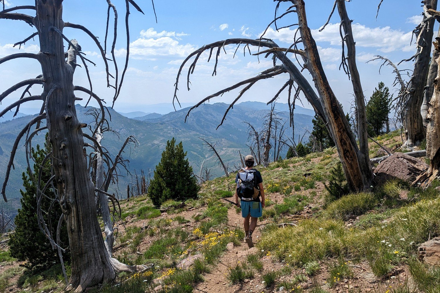
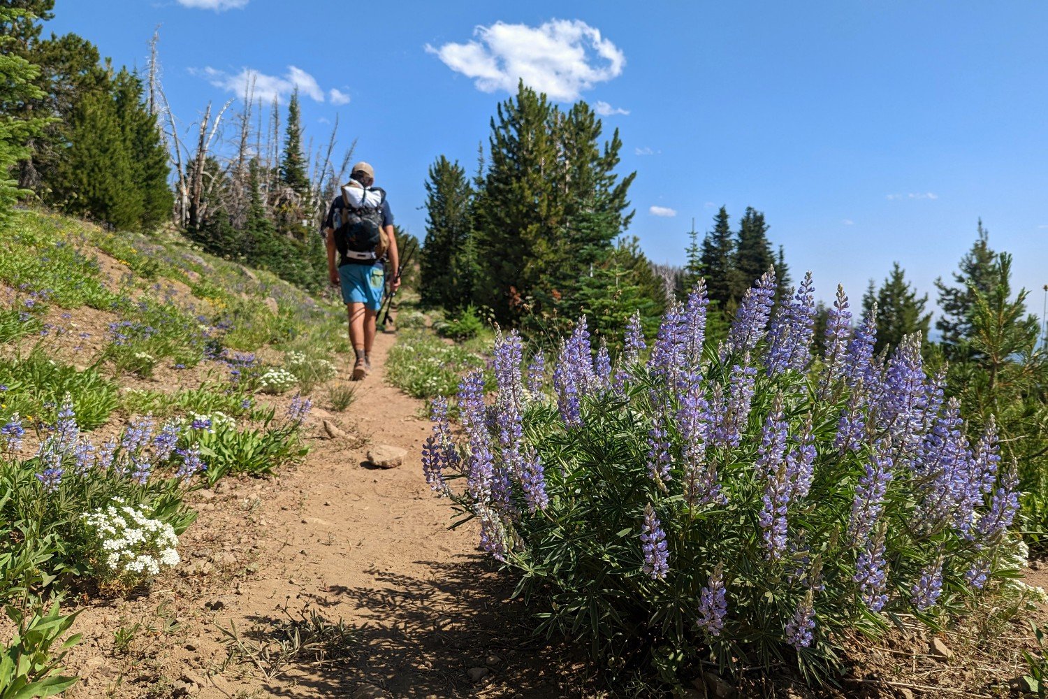
The Onion Creek Trail will take you across a wildflower-filled ridge with some burned trees. You’ll travel down what appears to be an old dirt road with stunning views (don’t forget to look behind you to catch one last glimpse of Strawberry Mountain) before joining an actual dirt road near the Roads End Trailhead. Continue ascending on the dirt road until you reach the High Lake Rim Trailhead.
From here, descend down to High Lake and your first reliable water in 7 miles. On one of the last switchbacks, there’s a spring about 30 feet or so off the trail. We chose to fill up here instead of using the lake. There are good campsites at High Lake, but you’re likely to be sharing the area with other campers and fishers since it’s an easy hike from the trailhead.
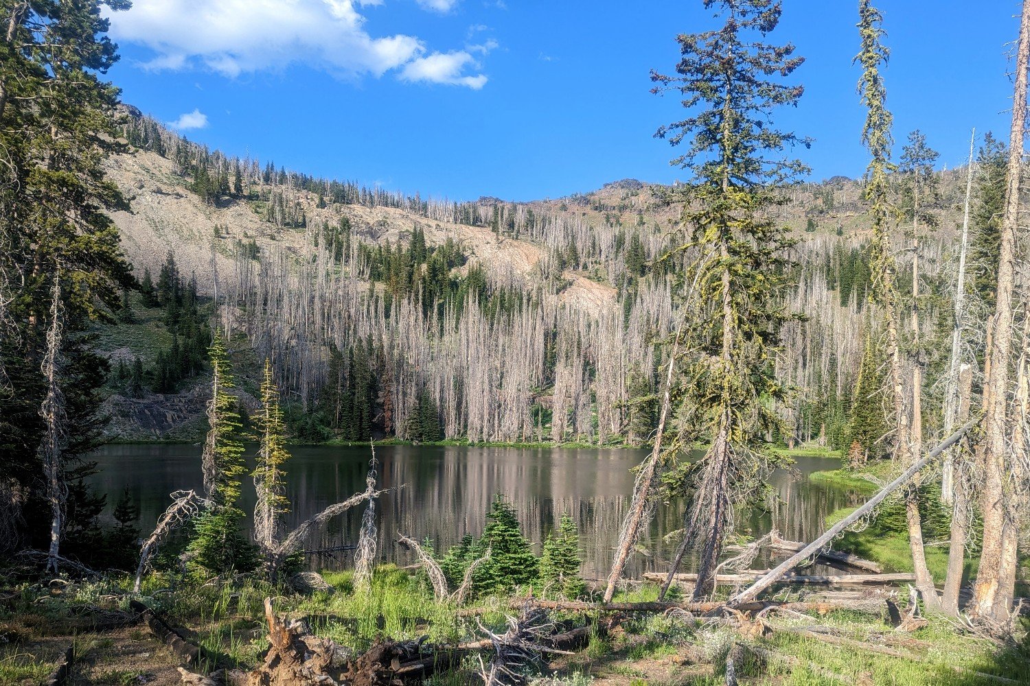
When we hiked the trail, the sign pointing you toward your next waypoint (Slide Lake) was down and facing the wrong direction, so be sure to pay close attention here. If you’re using GPS, watch your location for a bit to ensure you’re on the correct trail. You should be ascending gradually on a trail that becomes more and more worn in as you get farther from the campsites at High Lake.
Just before the top of the ridge, we saw a group of about 30 mountain goats (some with babies) grazing here. So keep an eye out in the grassy forest ahead. From here to the end of the trail, you’re likely to see many mountain goat tracks along your path.
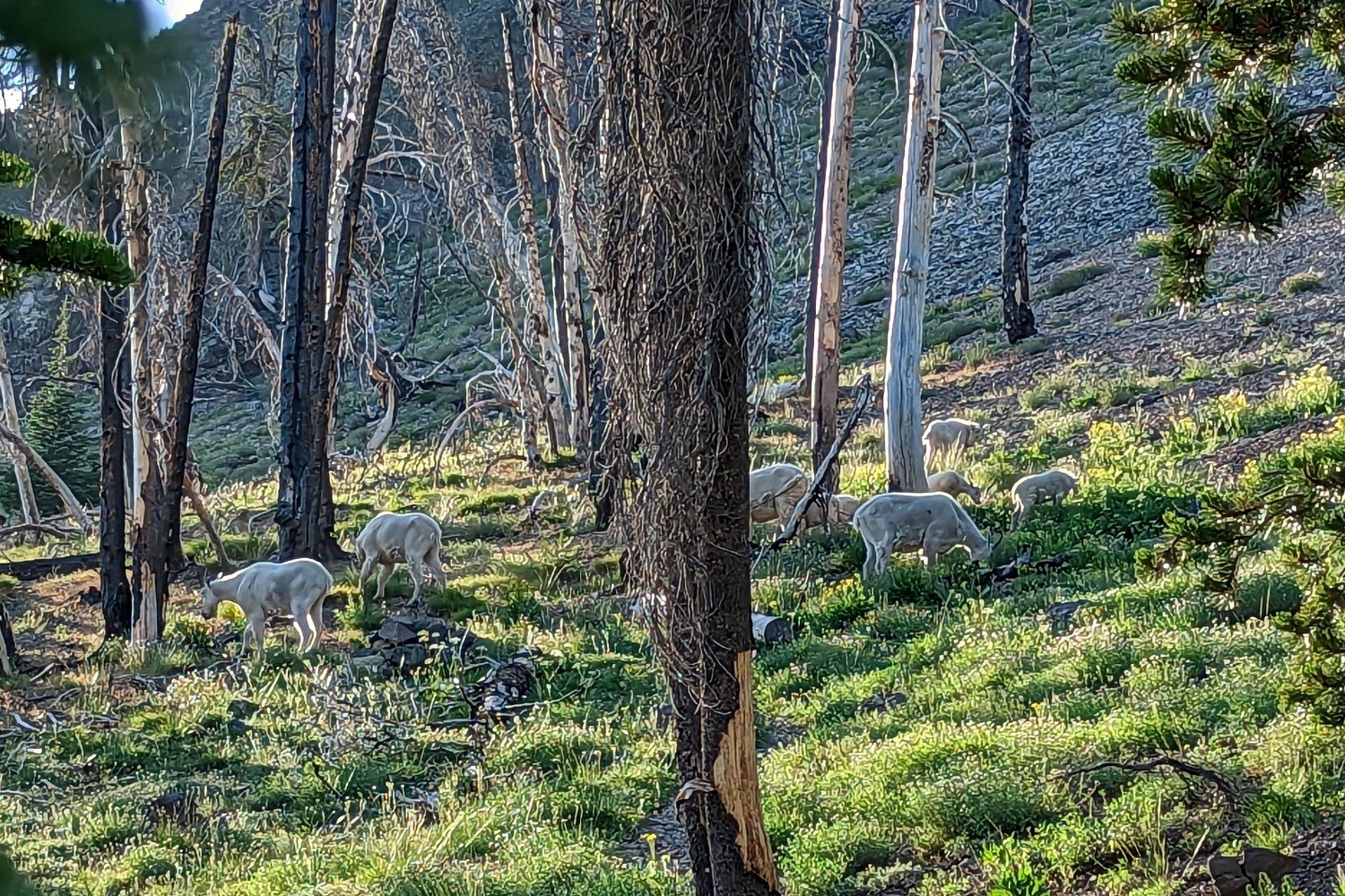
Once you crest the ridge, you’ll descend to Slide Lake via a narrow, rocky path. The junction to Slide Lake will be on your right once you’re in the valley. We took this short side trail and camped near the lake for our second night. The views from this lake aren’t as impressive as the others, but it’s still lovely in its own right. Several deer visited our campsite, and we heard fish jumping in the lake all morning.
Whether camping here or not, you’ll probably want to hit the small stream across this side trail, as it’s your last reliable water until you get back to the trailhead. A few small springs cross the trail nearby, but we’re unsure if they’re reliable. They were flowing weakly when we came through in late July.
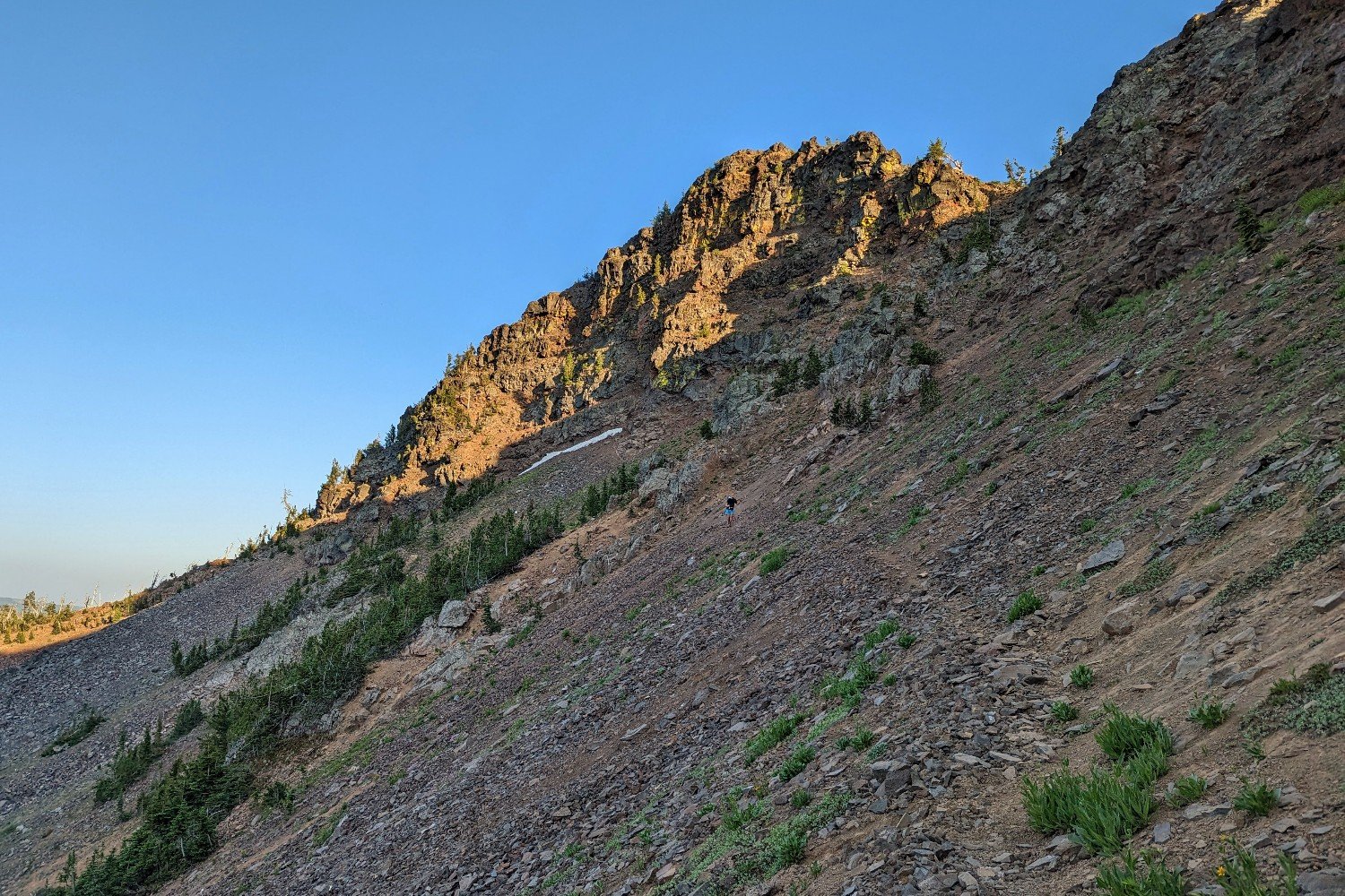
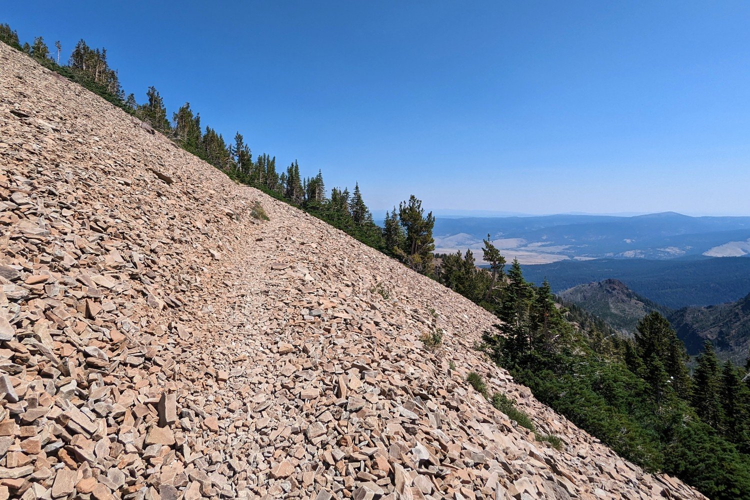
After Slide Lake, you will encounter the sketchiest part of the trail: a faint line that sneaks across a steep scree field with a fall risk and unsure footing. Note that large portions of this trail are washed out. The views are beautiful, and the challenge was pretty fun. But it’s not something we’d want to do in bad weather.
Not feeling like taking this section on? Luckily, there’s an alternative. As of summer 2025, there’s a sign at each end of this section that directs you to the “horse route,” a wider, more manageable trail. To link up with the horse trail, hook right before the trail for a mellower, lower-elevation option.
After you get through the scree field, you only have about a mile left until the junction with the Strawberry Basin Trail. This is where you’ll turn right to head back to the trailhead where you started. Once you’re back on the Strawberry Basin Trail, descend on nicely graded switchbacks for a mile to the parking area.
What Gear Should I Pack?
Make sure to check out our Ultimate Backpacking Checklist, so you don’t forget something important.
Below you’ll find our current favorite backpacking gear. If you want to see additional options, our curated gear guides are the result of many years of extensive research and hands-on testing by our team of outdoor experts.
BACKPACK
- Best Backpacking Pack Overall: Gregory Paragon 58 – Men’s / Gregory Maven 58 – Women’s
- Best Ultralight Backpacking Backpack: Hyperlite Mountain Gear Unbound 40
- More: Check out our best backpacking backpacks guide for ultralight and trekking options
TENT
- Best Backpacking Tent Overall: Big Agnes Copper Spur HV UL2
- Best Ultralight Tent: Zpacks Duplex
- Best Budget Tent: REI Half Dome 2
- Best Tent Stakes Overall: All One Tech Aluminum Stakes
- More: Check out our best backpacking tents guide for more options
SLEEPING BAG/QUILT
- Best Sleeping Bag Overall: Men’s Feathered Friends Swallow YF 20 / Women’s Feathered Friends Egret YF 20
- Best Quilt Overall: Enlightened Equipment Revelation 20
- More: Check out our best backpacking sleeping bags guide and best backpacking quilts guide for more options
SLEEPING PAD
- Best Sleeping Pad Overall: NEMO Tensor All-Season
- Best Foam Sleeping Pad: NEMO Switchback
- More: Check out our best backpacking sleeping pads guide for ultralight and trekking options
CAMP KITCHEN
- Best Backpacking Stove Overall: MSR PocketRocket 2
- Best Backpacking Cookware Overall: TOAKS Titanium 750ml
- Best Backpacking Coffee Overall: Starbucks VIA
- More: Check out our best backpacking stoves guide and best backpacking cookware guide for ultralight and large group options
WATER & FILTRATION
- Best Water Filter Overall: Sawyer Squeeze
- Best Hydration Bladder Overall: Gregory 3D Hydro
- Best Backpacking Water Bottles: Smartwater Bottles
- More: Check out our best backpacking water filters guide and best backpacking water bottles guide for ultralight and large group options
CLOTHING
- Best Hiking Pants Overall: Men’s Outdoor Research Ferrosi / Women’s The North Face Aphrodite 2.0
- Best Hiking Shorts Overall: Men’s Patagonia Quandary / Women’s Outdoor Research Ferrosi
- Best Women’s Hiking Leggings: Fjallraven Abisko Trekking Tights HD
- Best Rain Jacket Overall: Men’s Patagonia Torrentshell 3L / Women’s Patagonia Torrentshell 3L
- Best Rain Pants: Men’s Patagonia Torrentshell 3L / Women’s Patagonia Torrentshell 3L
- Best Down Jacket Overall: Men’s Patagonia Down Sweater Hoodie / Women’s Patagonia Down Sweater Hoodie
- Best Fleece Jacket Overall: Men’s Patagonia Better Sweater / Women’s Patagonia Better Sweater
- Best Sunshirt Overall: Men’s Outdoor Research Echo / Women’s Outdoor Research Echo
- Best Socks Overall: Men’s Darn Tough Light Hiker Micro Crew / Women’s Darn Tough Light Hiker Micro Crew
- Beste Ultralight Liner Glove: Patagonia Capilene Midweight Liner
- More: Check out our best backpacking apparel lists for more options
FOOTWEAR & TRACTION
- Best Hiking Shoes Overall: Men’s HOKA Speedgoat 6 / Women’s HOKA Speedgoat 6
- Best Hiking Boots Overall: Men’s Salomon X Ultra 5 GTX / Women’s Lowa Renegade Evo GTX
- Best Hiking Sandals Overall: Men’s Chaco Z/1 Classic / Women’s Chaco Z/1 Classic
- Best Camp Shoes Overall: Crocs Classic Clogs
- Best Traction Device for Hiking Overall: Kahtoola MICROspikes
- More: Check out our best backpacking footwear lists for more options
NAVIGATION
- Best GPS Watch Overall: Garmin Instinct 2 Solar
- Best Personal Locator Beacon (PLB): Garmin inReach Mini 2
- More: Check out our article How to Use Your Phone as a GPS Device for Backpacking & Hiking to learn more
FOOD
FIRST-AID & TOOLS
- Best First-Aid Kit Overall: Adventure Medical Kits Ultralight/Watertight .7
- Best Pocket Knife Overall: Kershaw Leek
- Best Multitool Overall: Leatherman Wave+
- Best Headlamp Overall: Black Diamond Spot 400-R
- Best Power Bank Overall: Nitecore NB 10000 Gen 3
- More: Check out our best first-aid kit guide, best pocket knife guide, best multitool guide, best backpacking headlamps guide, and best power banks guide for more options
MISCELLANEOUS
- Best Trekking Poles Overall: Black Diamond Pursuit
- Best Backpacking Chair Overall: REI Flexlite Air
- Best Backpacking Stuff Sack Overall: Hyperlite Mountain Gear Drawstring
- More: Check out our best trekking poles guide, best backpacking chairs guide, and best stuff sacks guide for more options